Haunted Yubari School
Posted on
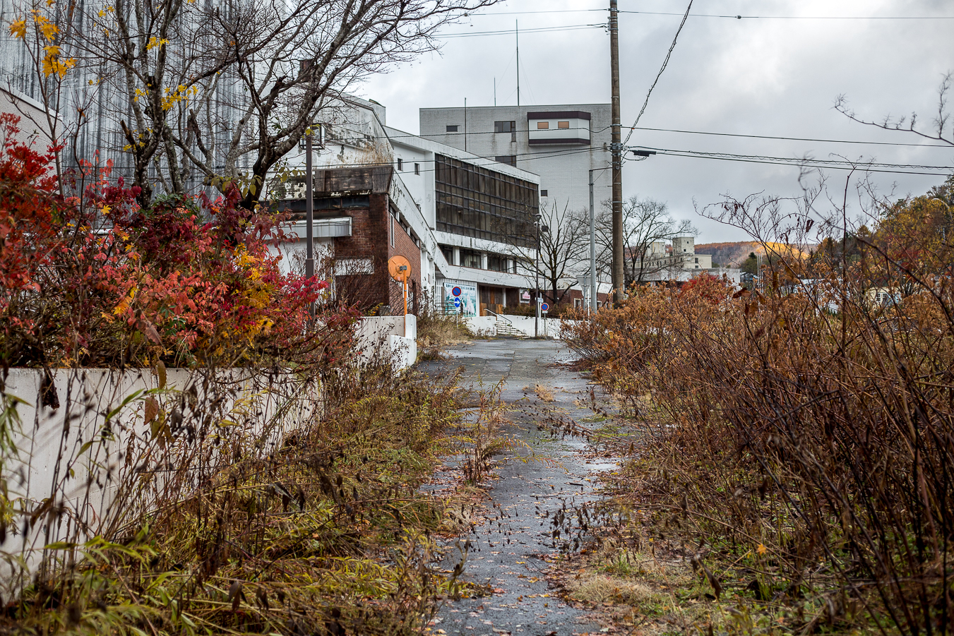
For those who enjoy haunted stories, like dark and eerie places, and are ghost chasers, Yubari is definitely a place you need to stop and check out. Yubari was once a thriving town and due to the coal mine closing down and the town going bankrupt, it has seen a massive population decline. The abandoned infrastructure and silent streets create a stark, haunting environment, with some specific locations linked to paranormal stories. Read More ....


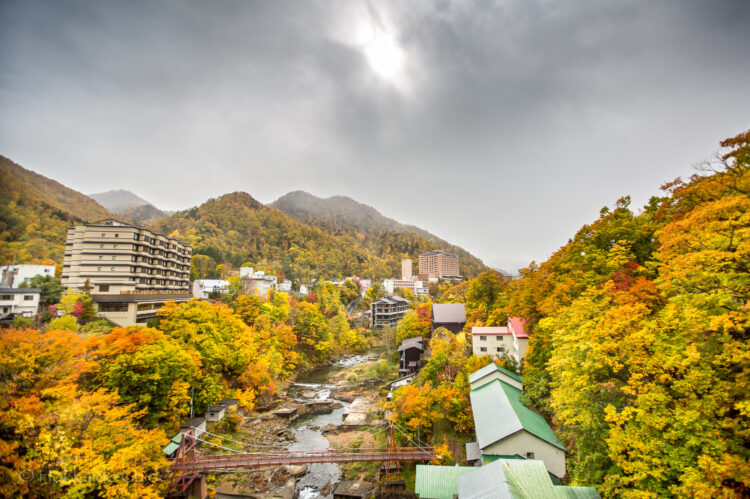
 Yubari is a fascinating place to visit as it has turned predominantly into a ghost town though there are still a few places to see there. Yubari is most famous for its melons, hence the ‘melon bear mascot’ (which is a must see if you haven’t seen it), and the annual film festival. But first let’s look a little into the history of Yubari. The city was founded on April 1, 1943, as a coal mining town. During this lucrative time Yūbari had as many as 120,000 people. The mines closed in the 1980s, and an attempt was made to convert the economic base to tourism. Subsidies were obtained from the central government and huge debts incurred for the building of tourist attractions, but few visitors came. In 2007 Yubari went into bankruptcy. Walking the now deserted streets, you can see many places falling into disrepair that were once thriving. There are still remnants of the Yubari of old, but it is a lonely place which makes it very unique.
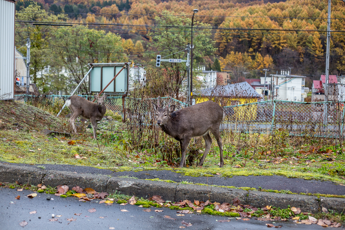
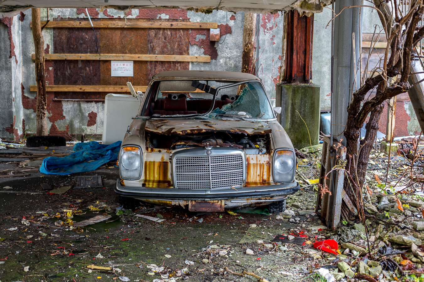
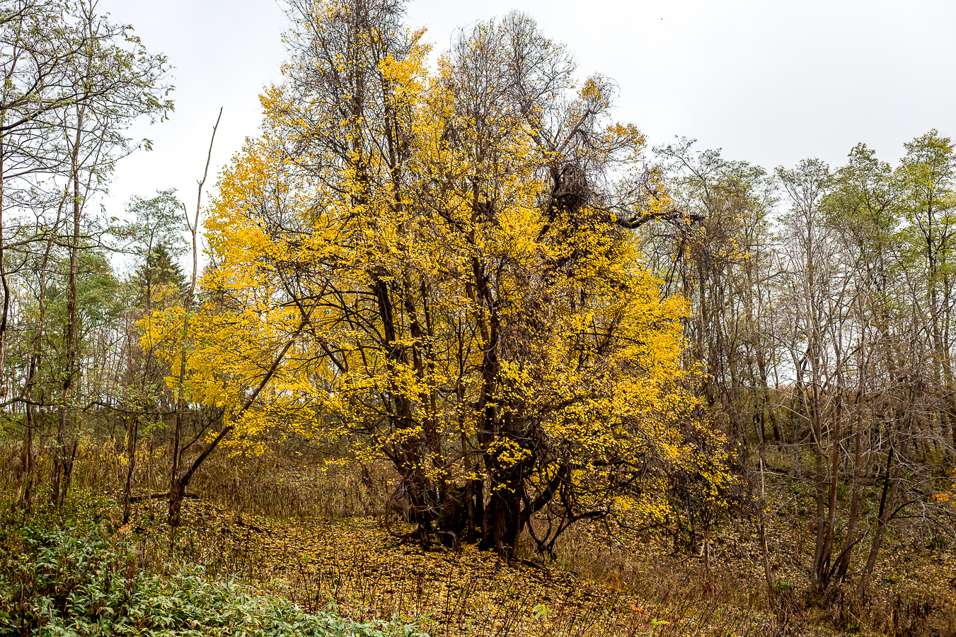
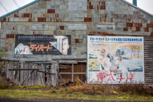
 There are still some places to visit here, and there are a couple of reported ‘haunted sites’ in the area. A lot of the infrastructure is unkept and the wild cry of deer in the mountains does add to the atmosphere. It is not all doom and gloom however. There is a ski resort here which is a good place to go to get away from the large crowds. there is the coal mine museum and there are some beautiful old temples, a few restaurants and every year, the Yubari Film Festival is held. In fact, in Quentin Tarantino’s film Kill Bill, one of the characters is named ‘Gogo Yubari’. You need a car to get to Yubari and is an interesting place to walk around, especially in the fall.

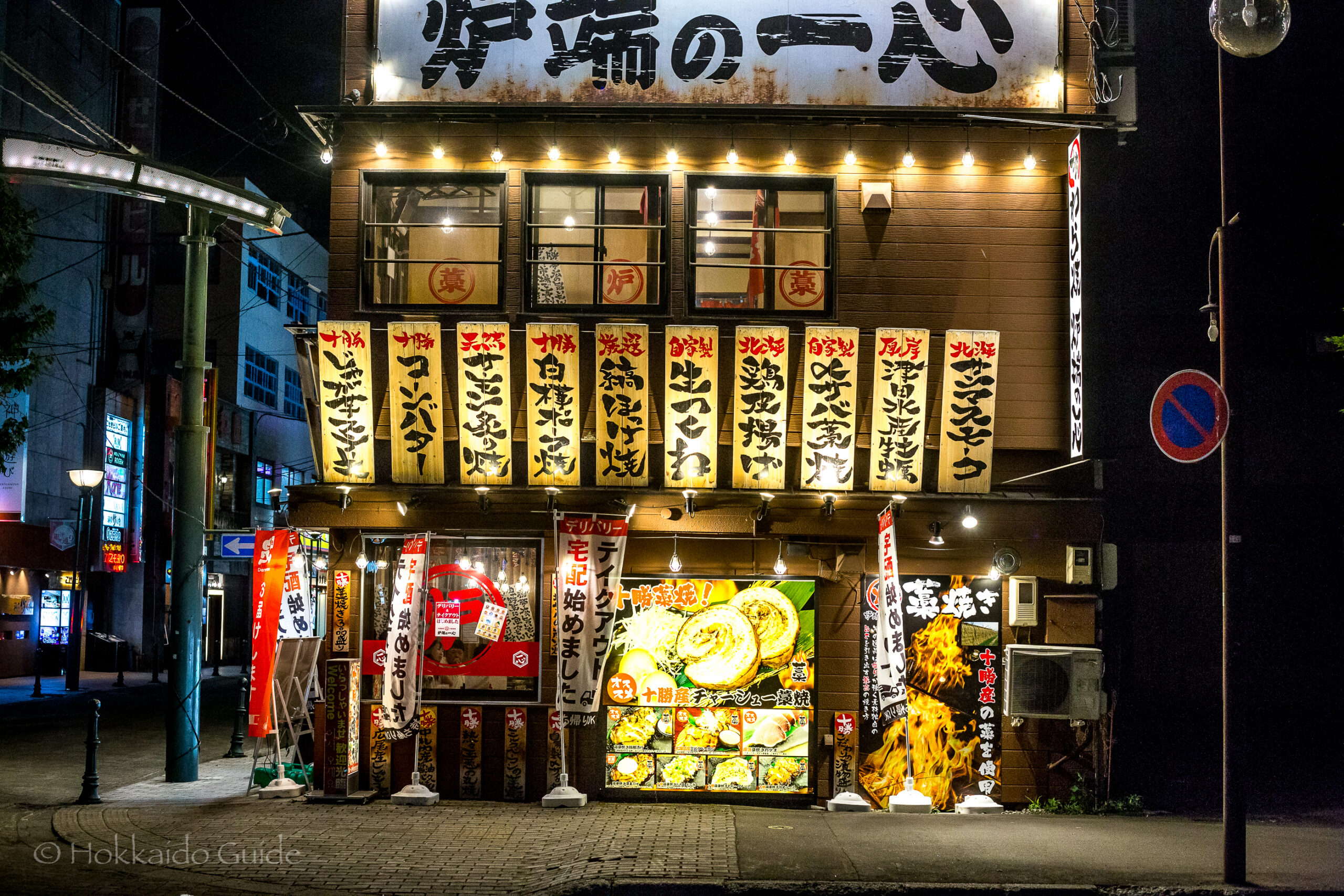
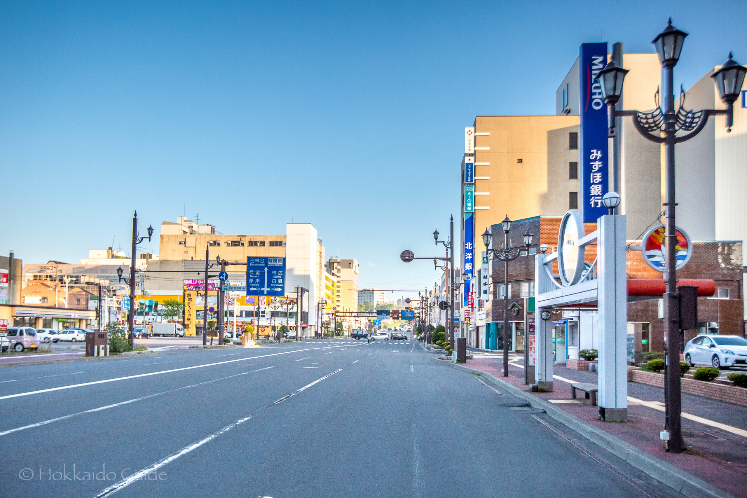
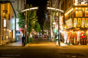 Obihiro was the area first settled by Benzo Yoda in May 1883, and became a city on April 1, 1933. In 1957 the villages of Taishō and Kawanishi merged with Obihiro, bringing it to its current size. Obihiro has a large agricultural sector that revolves around large scale farming. The main crops produced are wheat, potatoes, beets, and beans. Obihiro has one of Japan’s cleanest rivers that flows through its city limits. Obihiro is famous for the unique style of horse racing that takes place at the city’s horse racetrack. Hokkaido farmers in the 1900s had tug-of-war contests between their work horses to judge their strength and value. This gradually became a more formalized event and eventually became the racing we know today as Ban’ei horse racing. Obihiro is famous for ‘butadon’ (a glazed pork dish on rice) and mutton which is called ‘Jingisukan’ named after Ghengis Khan. It is also famous for potatoes and dairy products, which are common produce in Tokachi. Obihiro also claims to be the origin of a dish called chuuka chirashi.
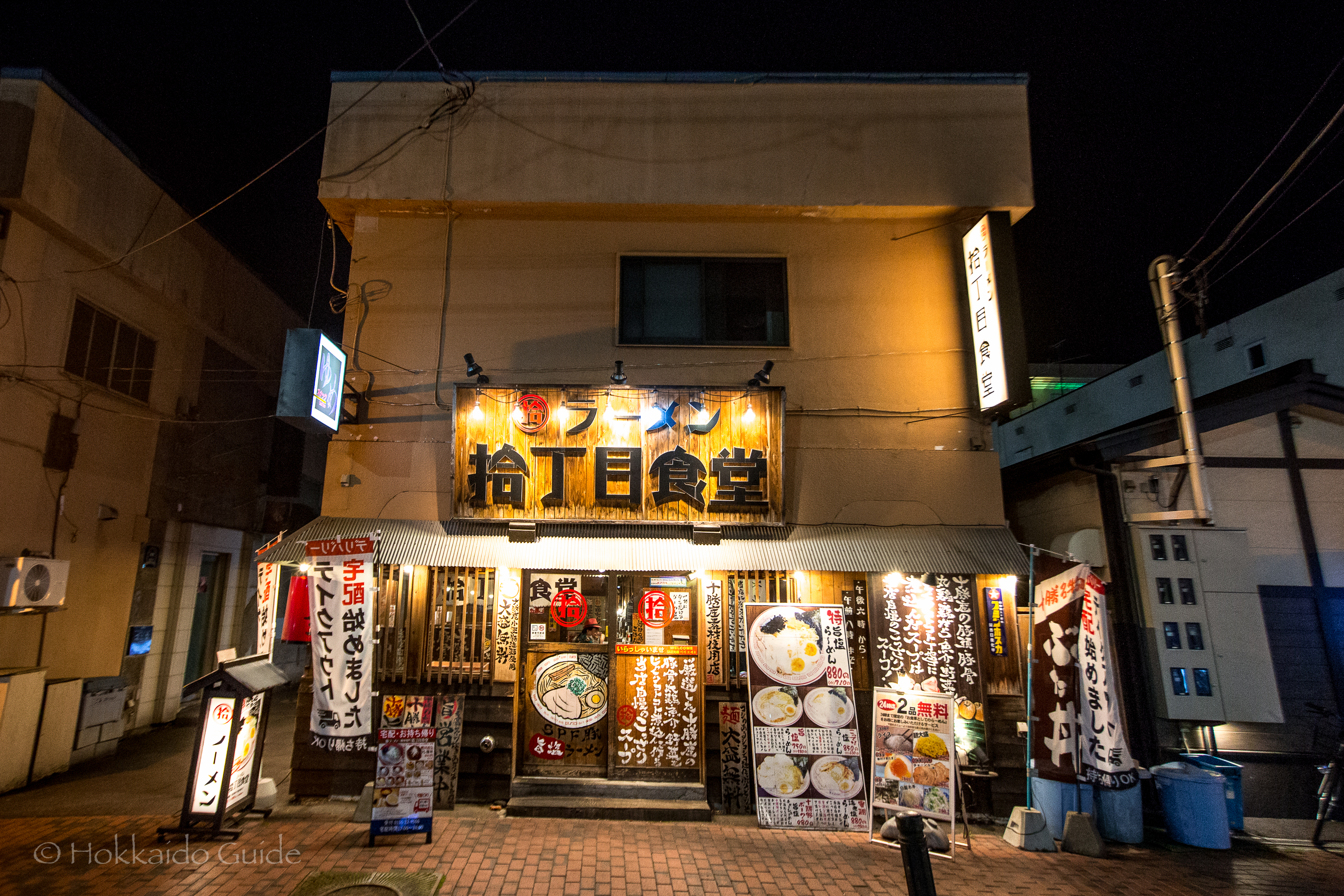
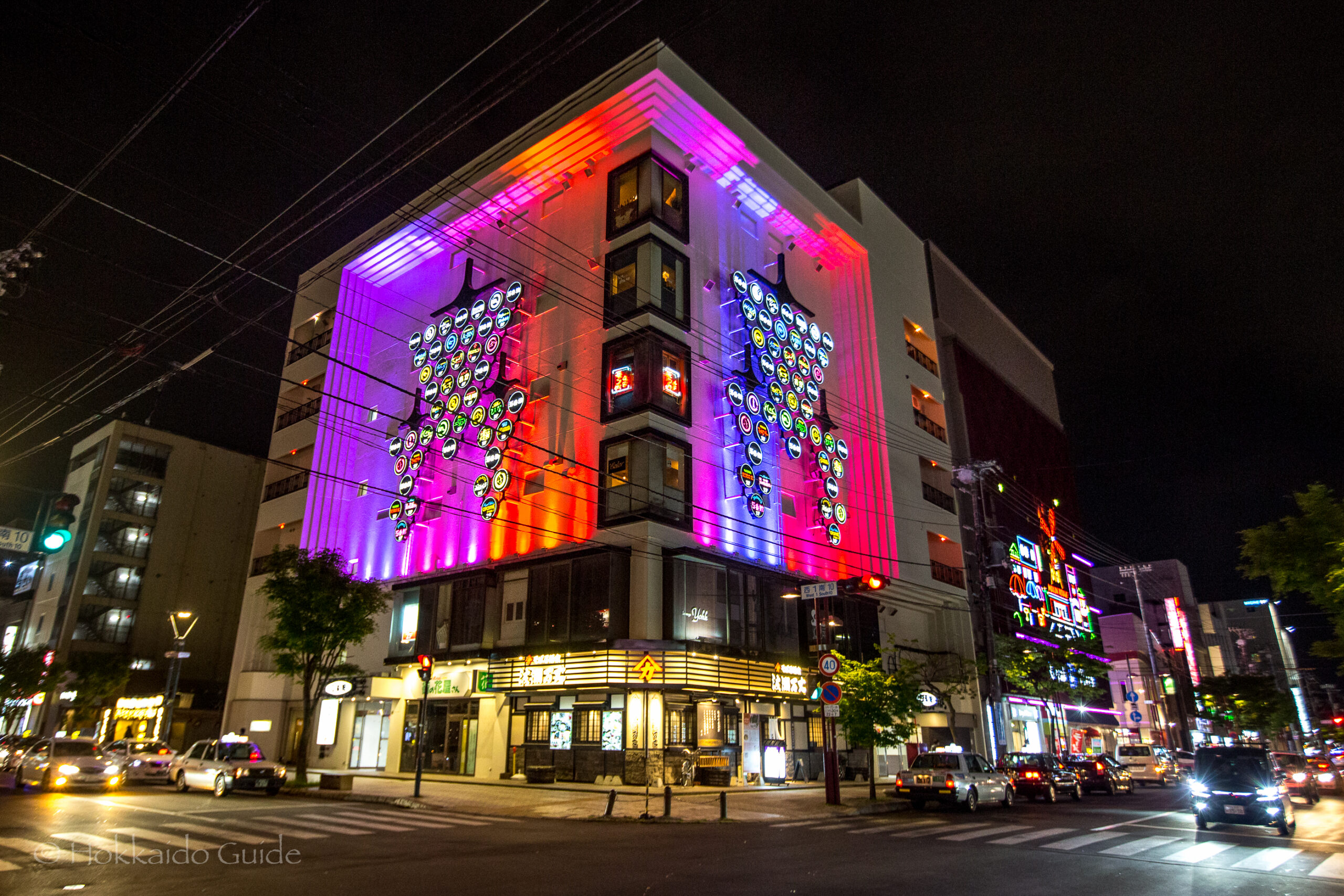

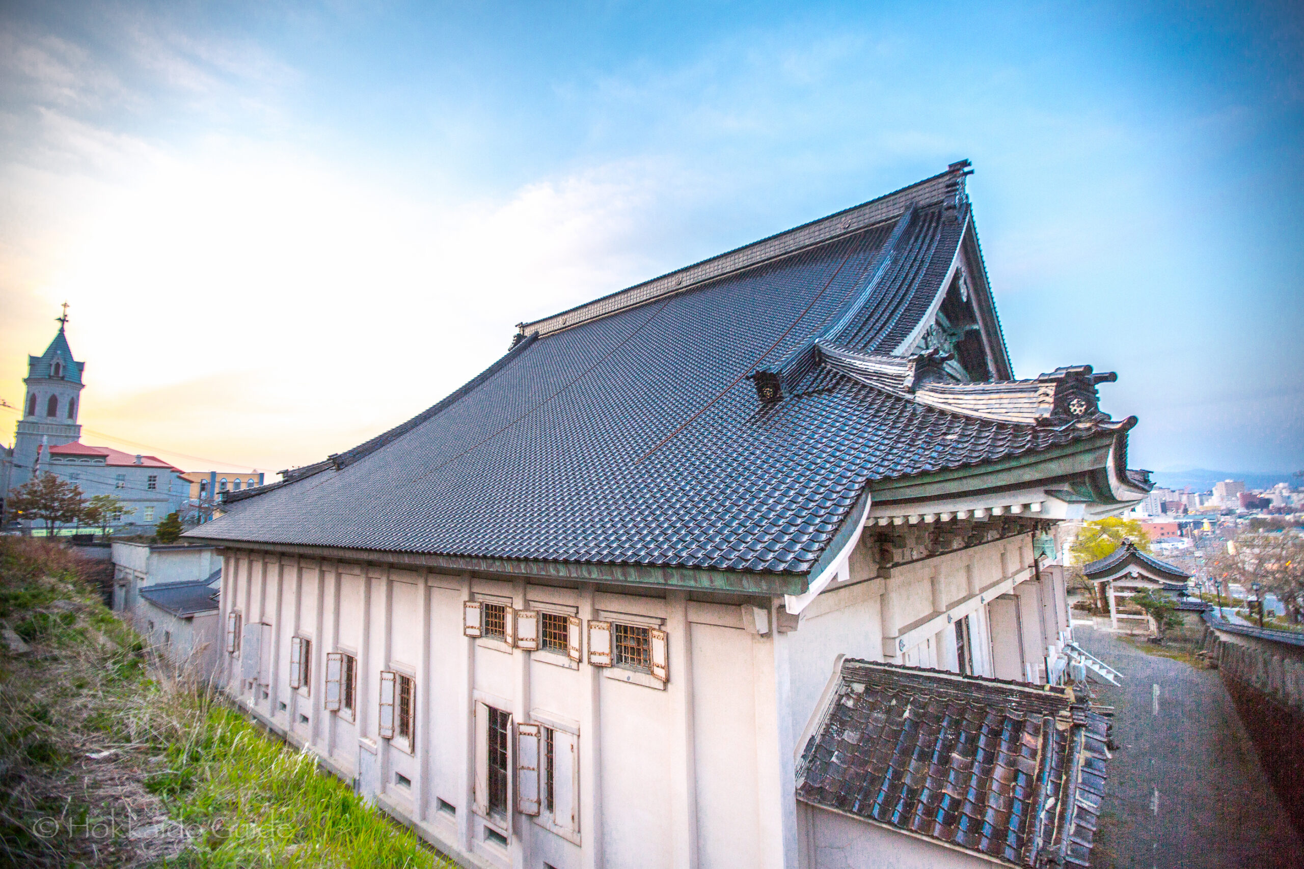
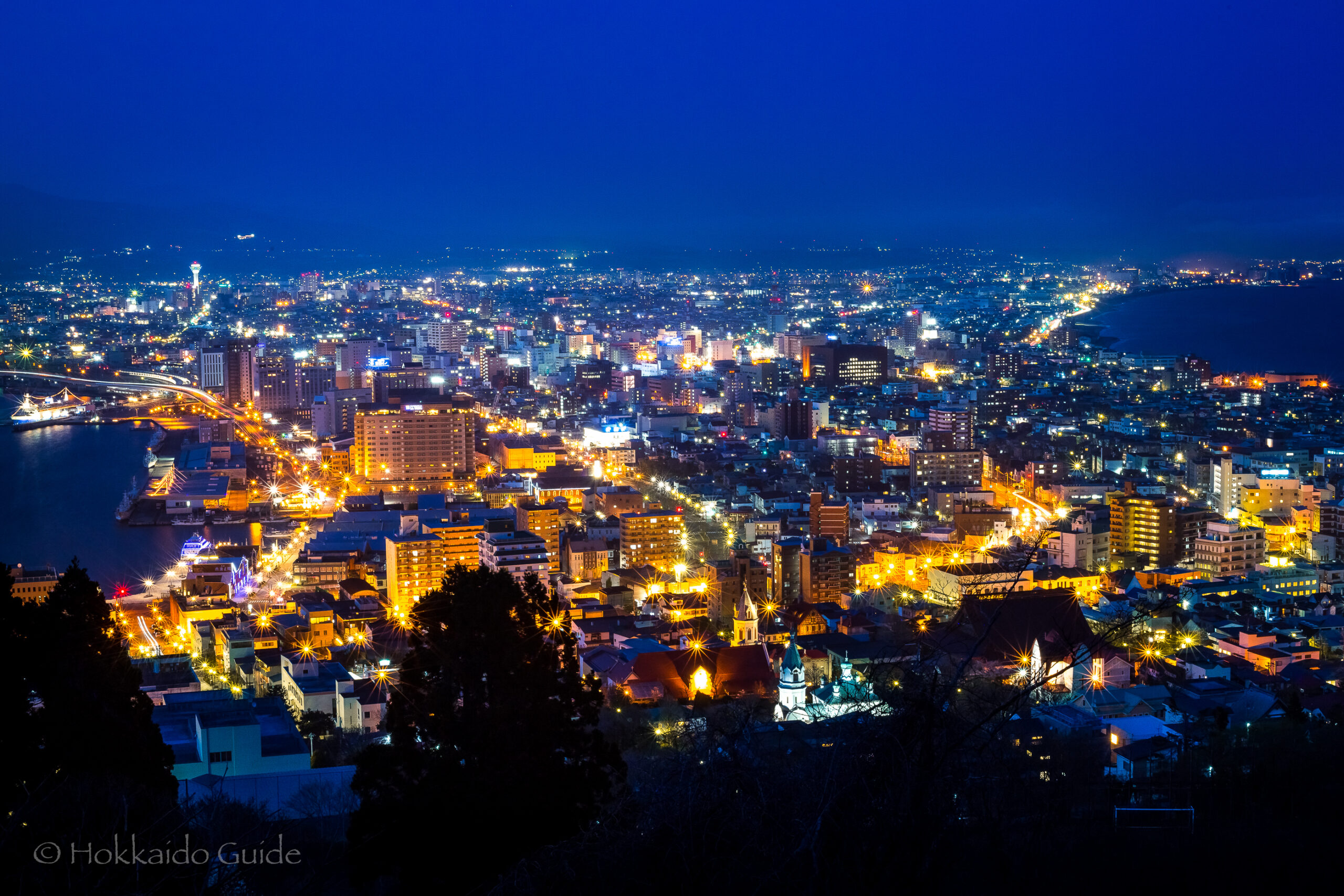
 Hakodate (like other parts of around Hokkaido) was originally populated by the Ainu and is the third largest city in Hakodate behind Sapporo and Asahikawa. The name “Hakodate” may have originated from an Ainu word, “hak-casi” (“shallow fort”). Hakodate was founded in 1454, when Kono Kaganokami Masamichi constructed a large manor house in the fishing village of Usukeshi, the word for bay in Ainu. The city has a lot of history and is probably most famous for the arrival of U.S ships under Matthew C. Perry, and also the Battle of Hakodate in the Boshin War. This battle was fought between the Tokugawa Shogunate and the Imperial Government. Hakodate is a coastal city and sub prefecture. The city is most famous for Mt. Hakodate which offers beautiful night views. The city is also famous for seafood, sushi and salt ramen.
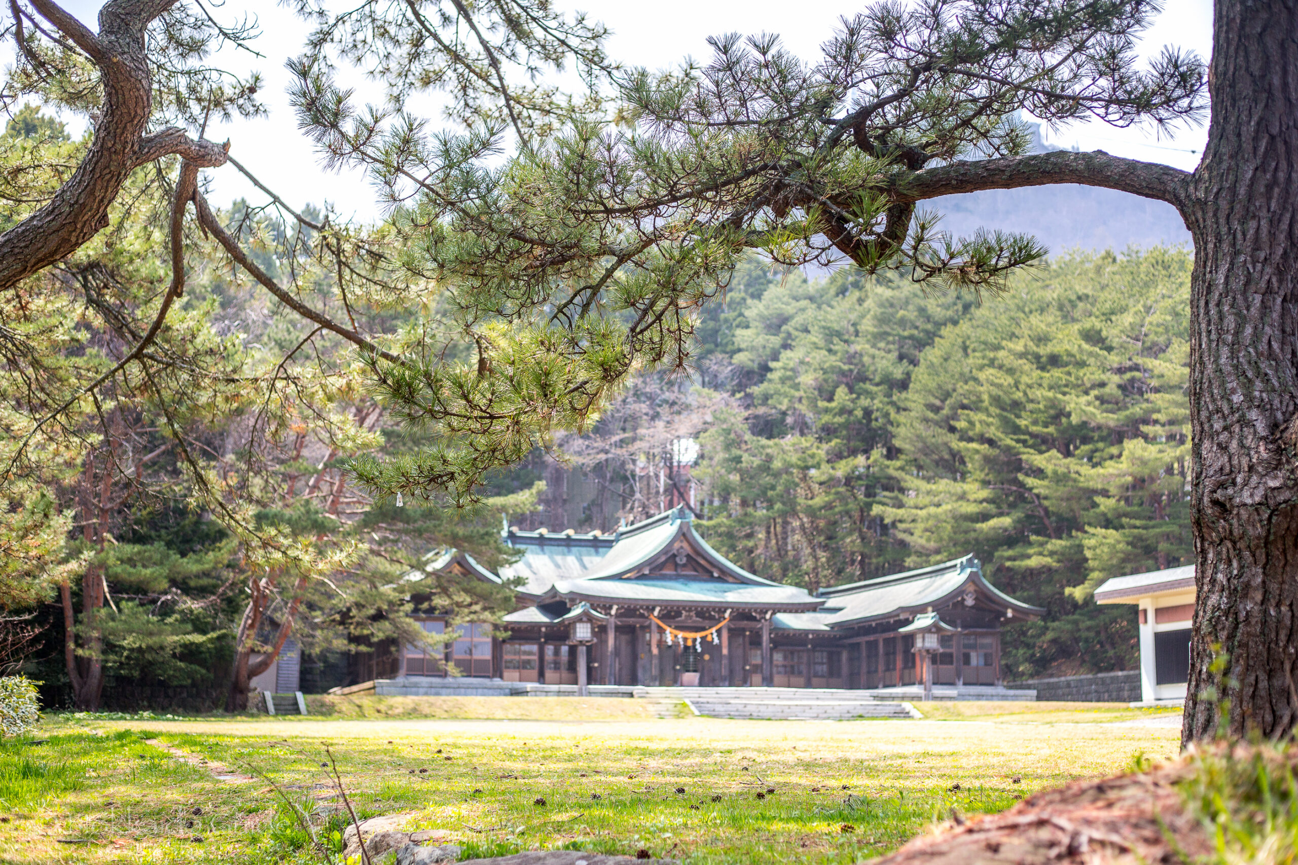


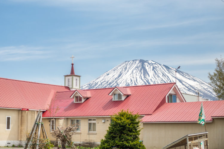

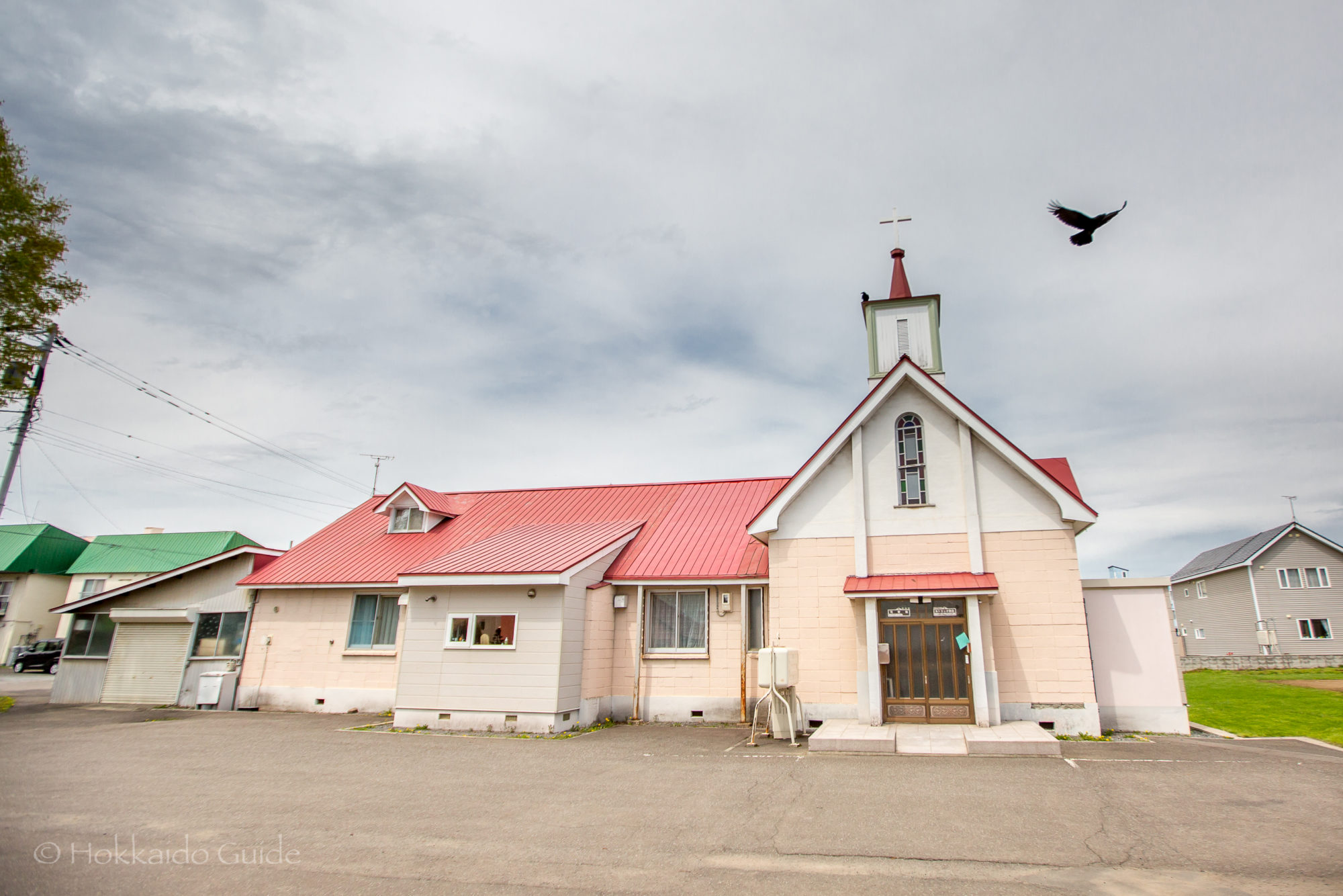
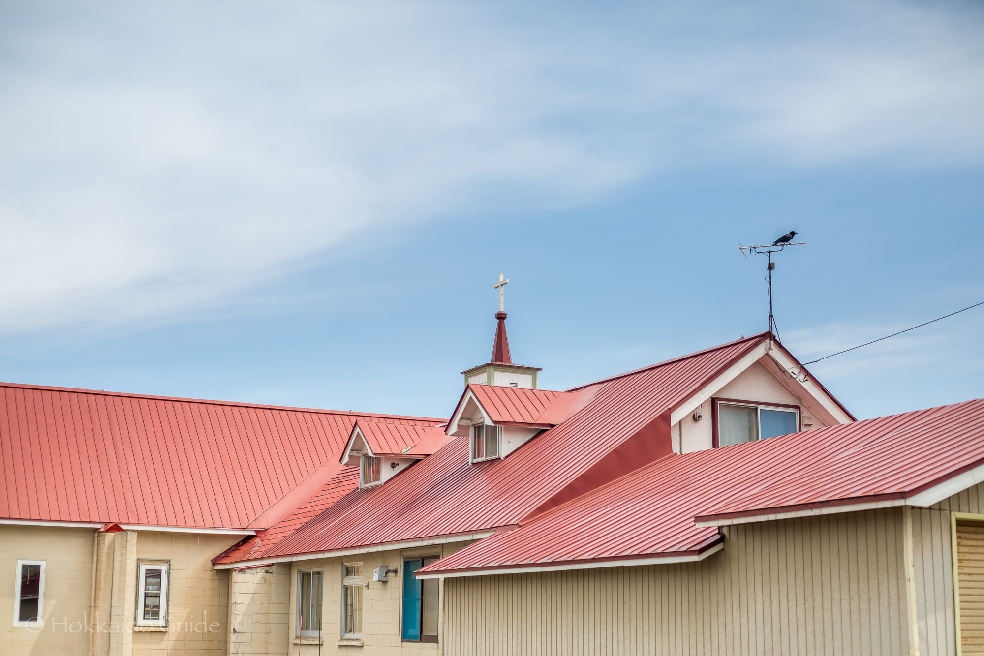
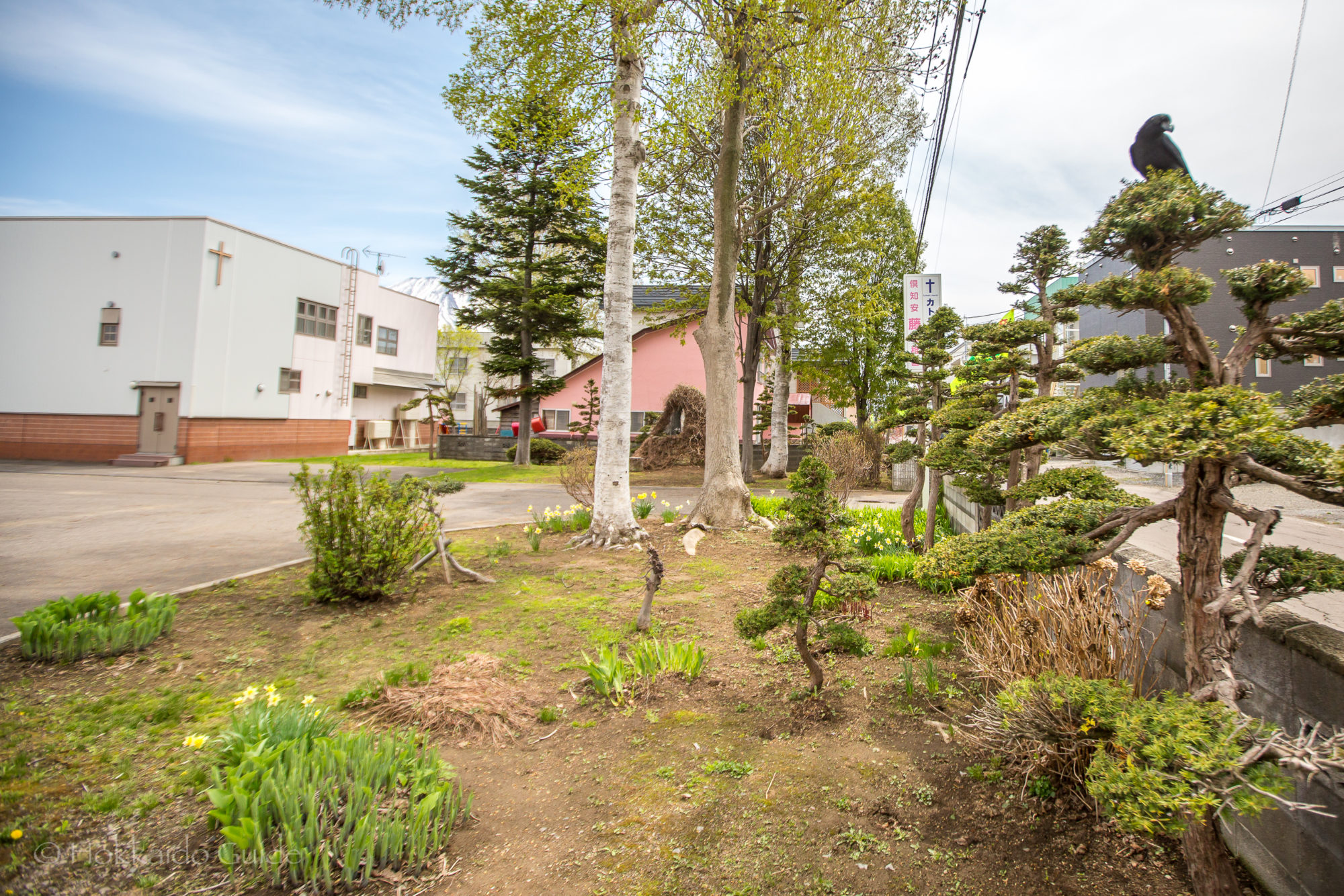
 Not only can you find Shinto shrines and Buddhist temples throughout the cities and towns of Hokkaido, but there are also churches where people can practice their faith. Many smaller towns don’t have churches but Kutchan is a larger town and the Kutchan Catholic Church is the main church here. The church is on a large plot of land and is made up of a few buildings, one which also serves as a kindergarten. The church opening times in Sunday say from 9:00 in summer and 10:00 in winter, but it is best to call beforehand as the times may vary.
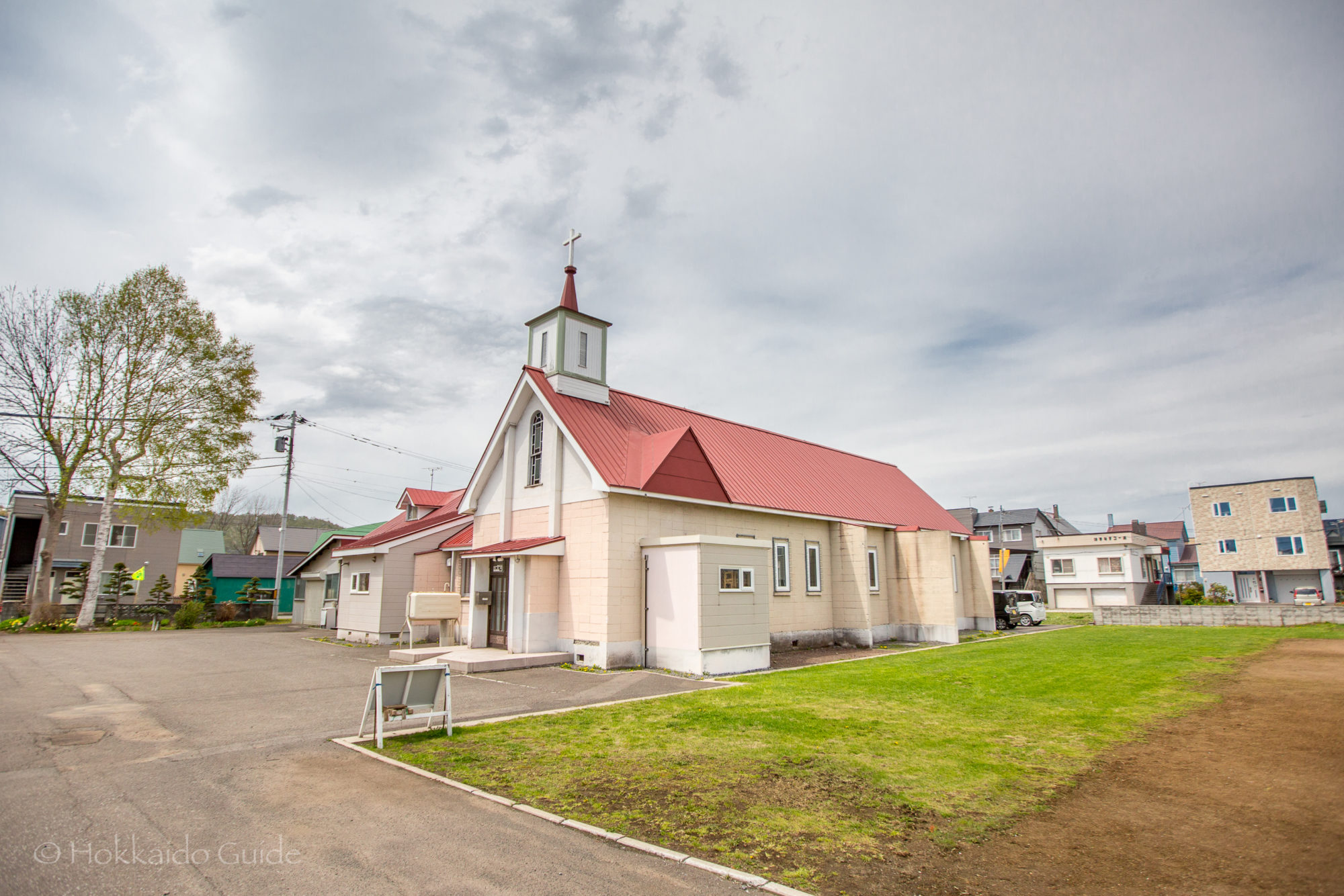
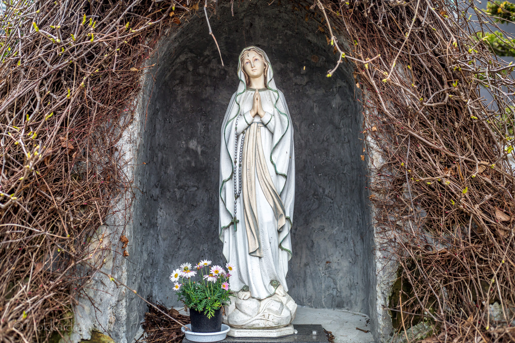
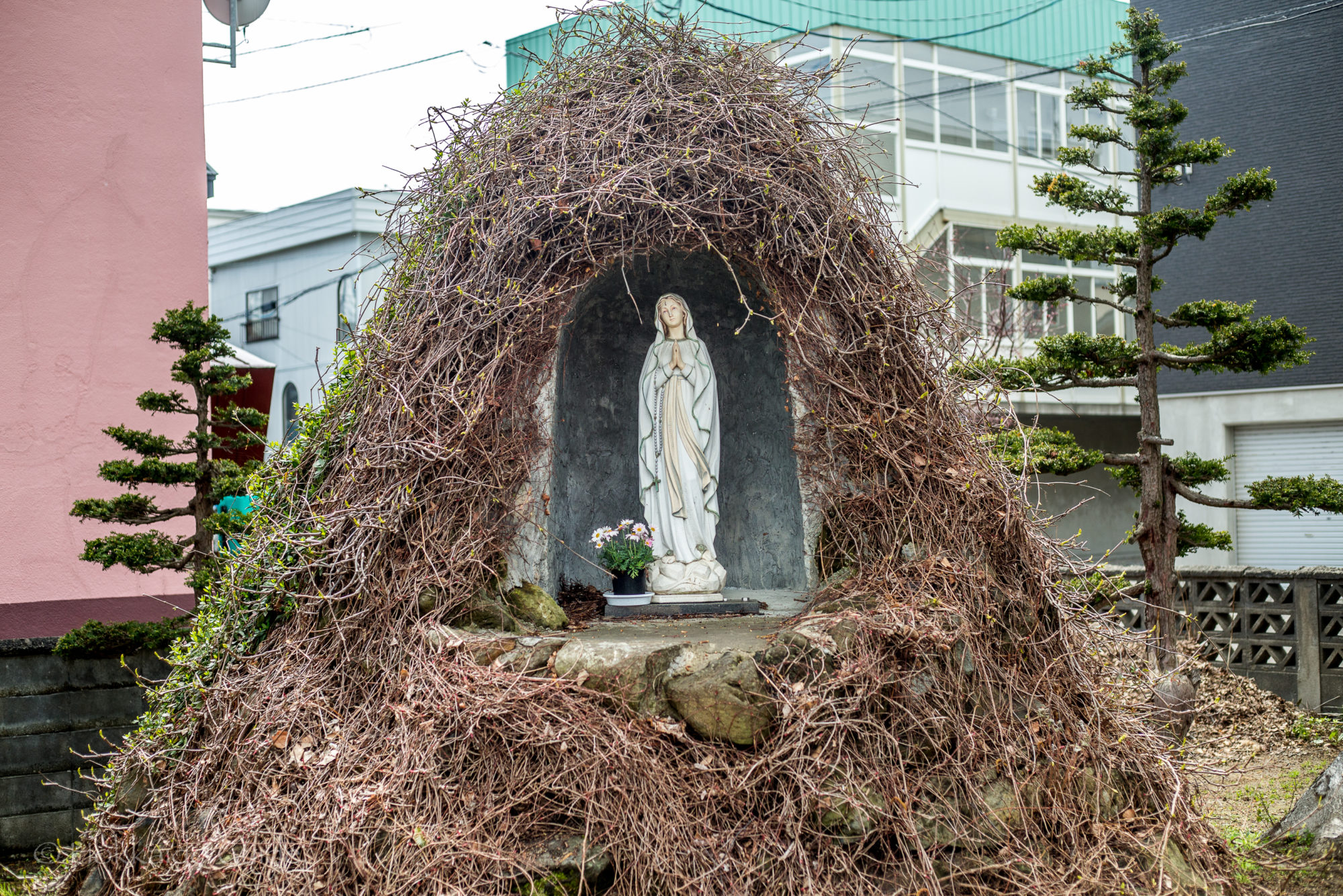
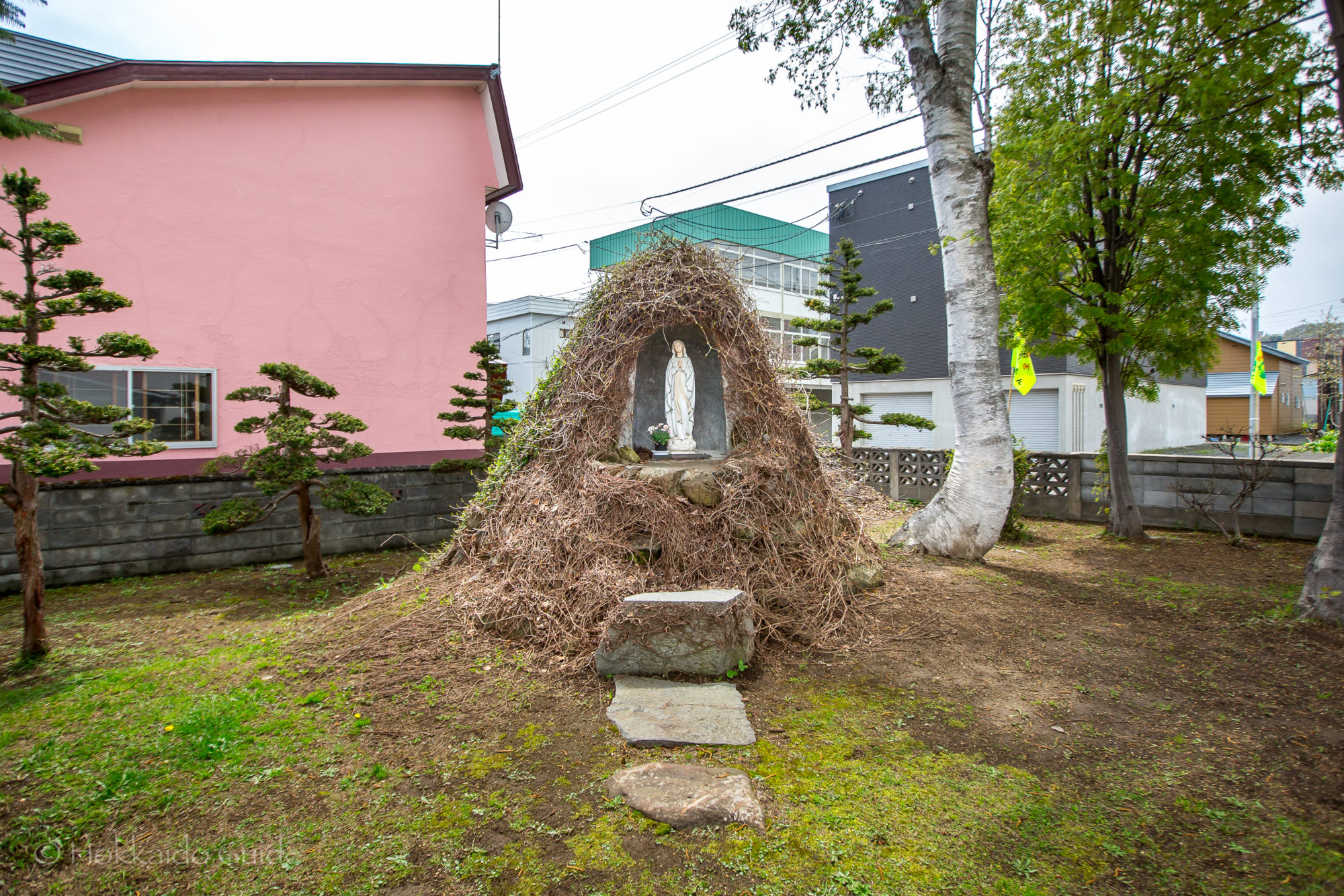
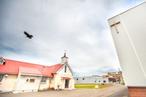 The church has a small parking area for those driving in. During the warm spring months, there are a couple of cherry blossom trees on the premises. The church has a nice view of Mt. Yotei. Also on the church grounds, you can find a nice statue of the Virgin Mary. The statue has been placed in a small hillock and is surrounded by vines which flower during the summer. The spot makes for a good photo. For those driving, the church is easily accessed from the main road that runs through the town of Kutchan. If you are taking public transport, it is not a far walk from the train station. Alternatively, you can take a taxi during the winter.