Yuni Togakushi Shrine
Posted on
Yuni Togakushi Shrine is a small rural Shinto shrine located in the Furusan district of Yuni, Hokkaido. Although little is known about its exact origins, it is believed to have been established during Hokkaido's settlement period Read More ....


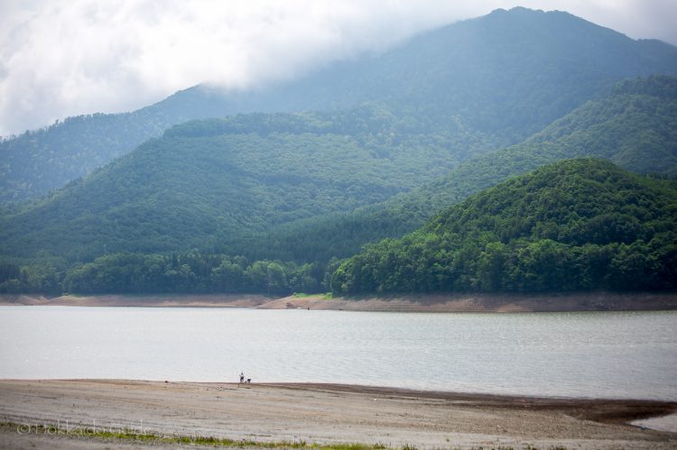

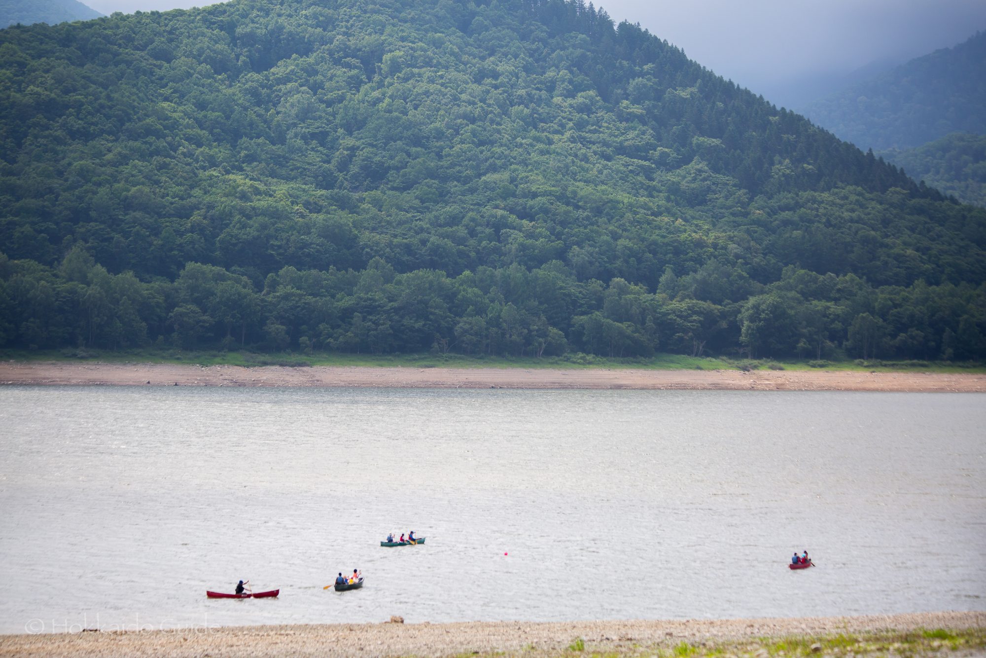
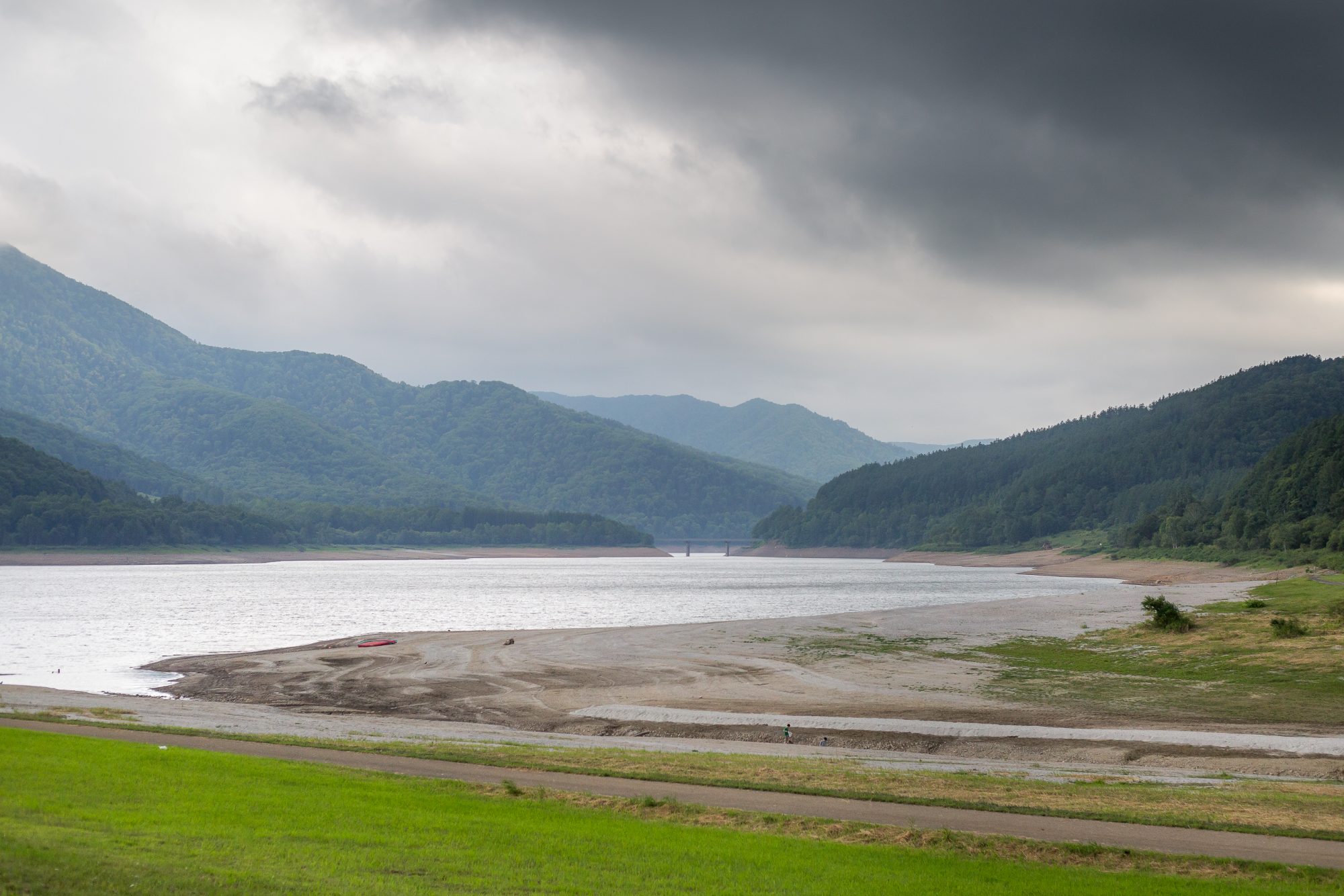
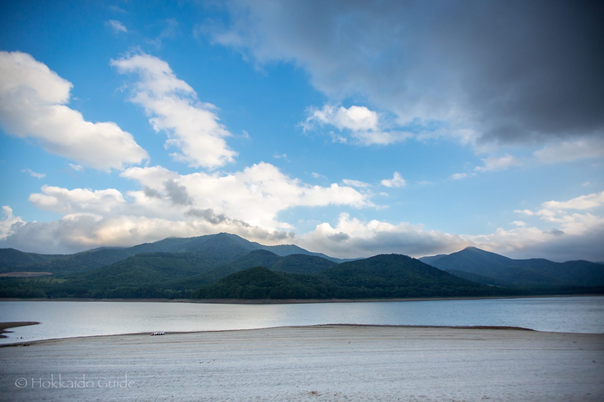
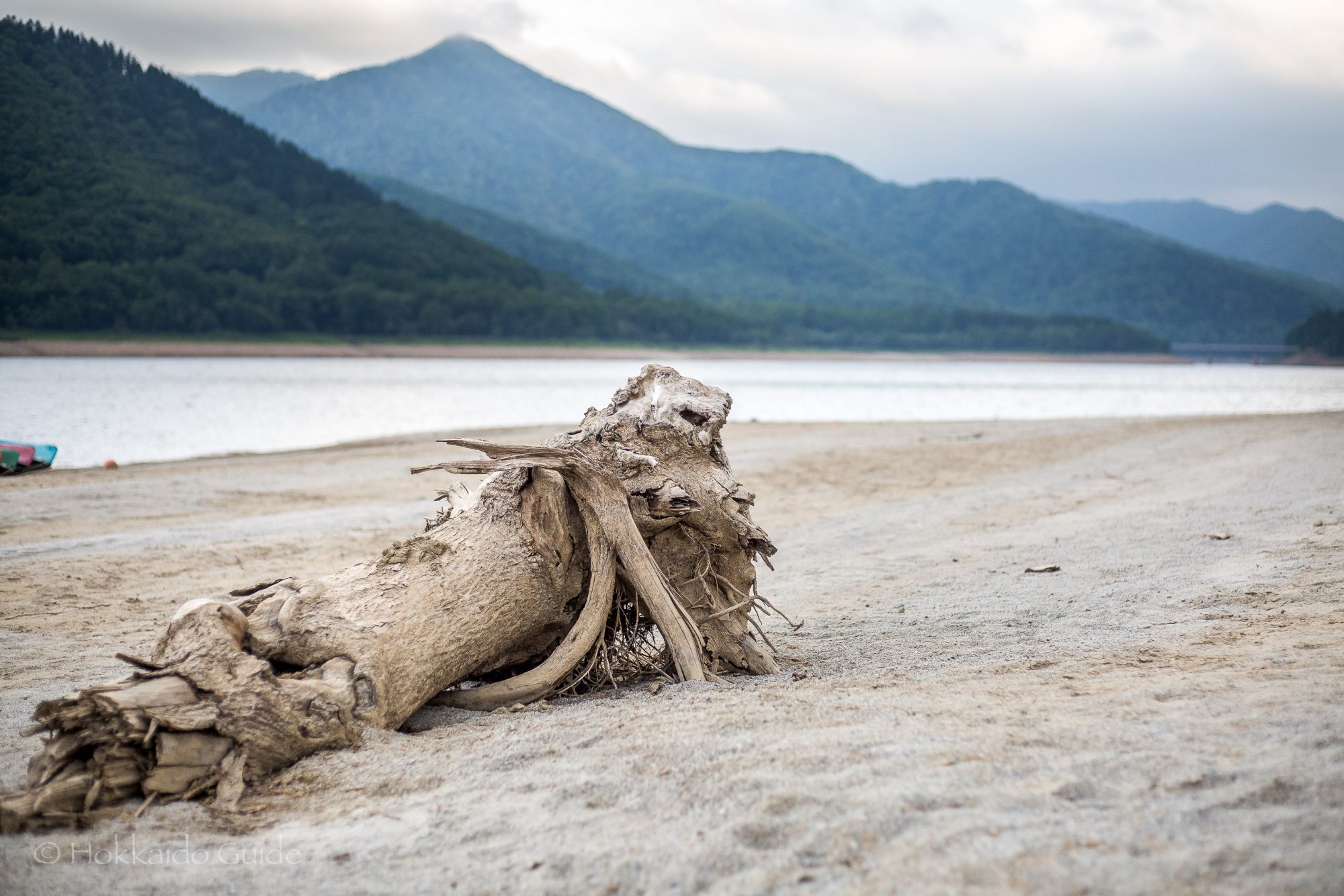
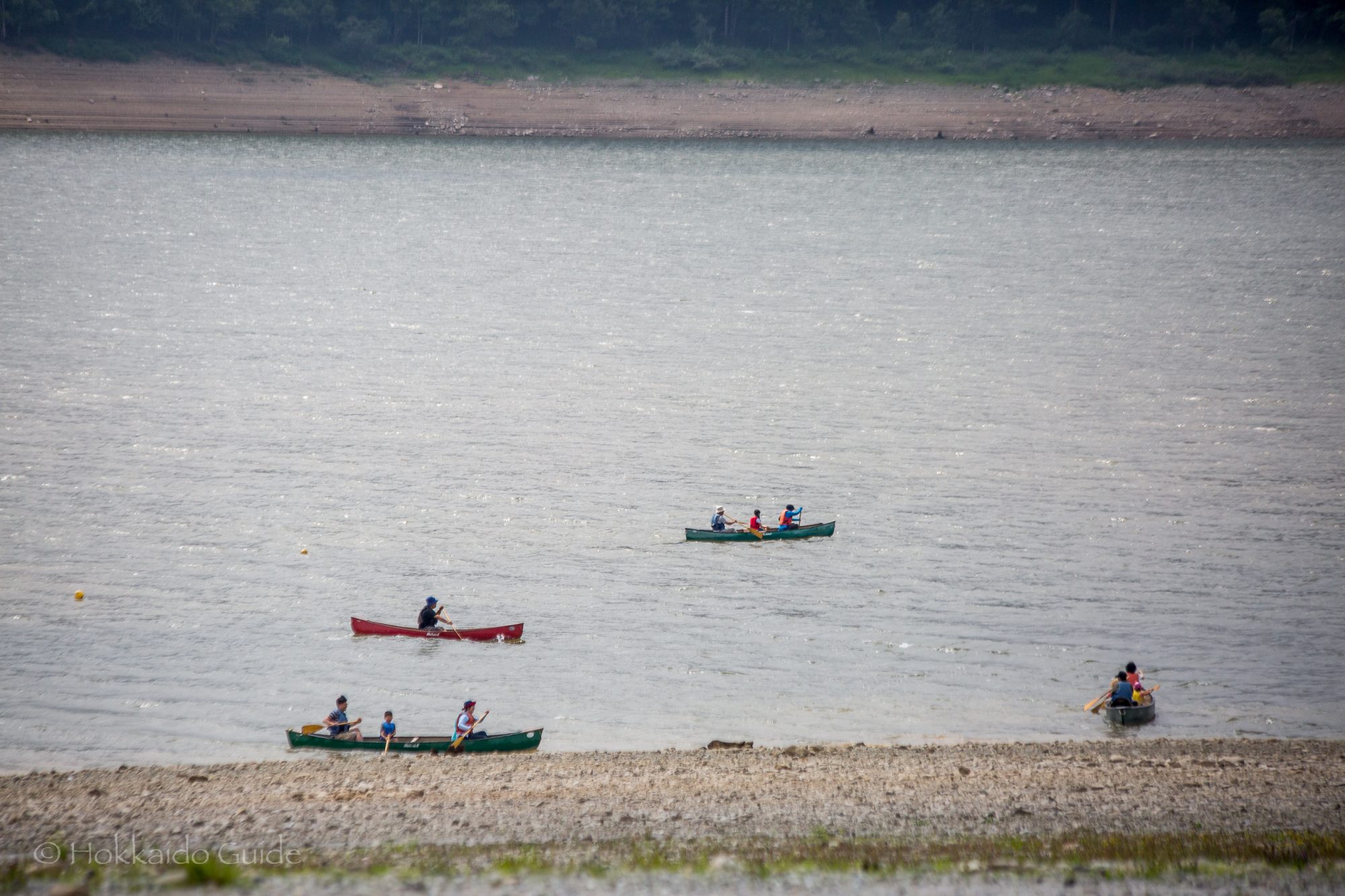
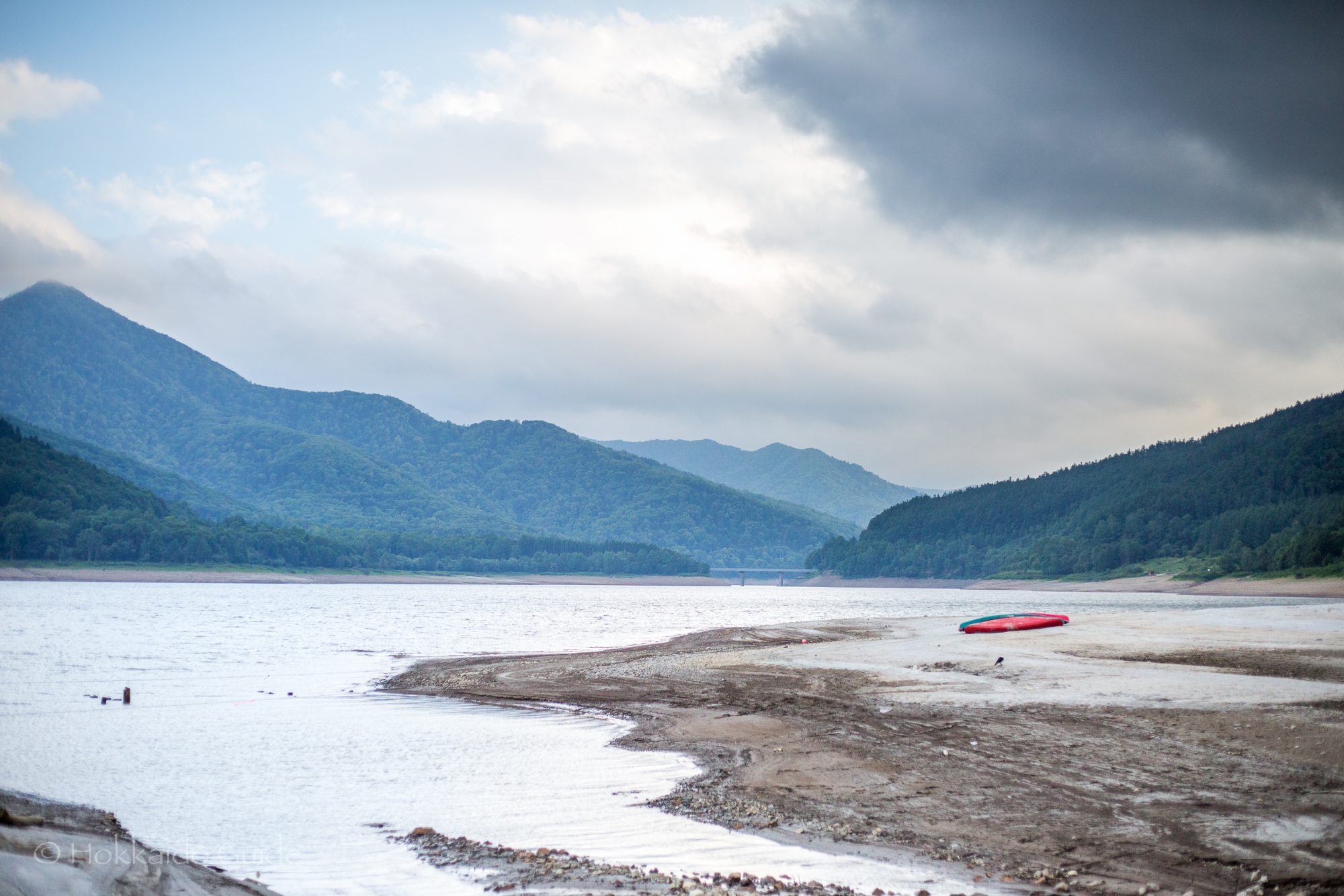
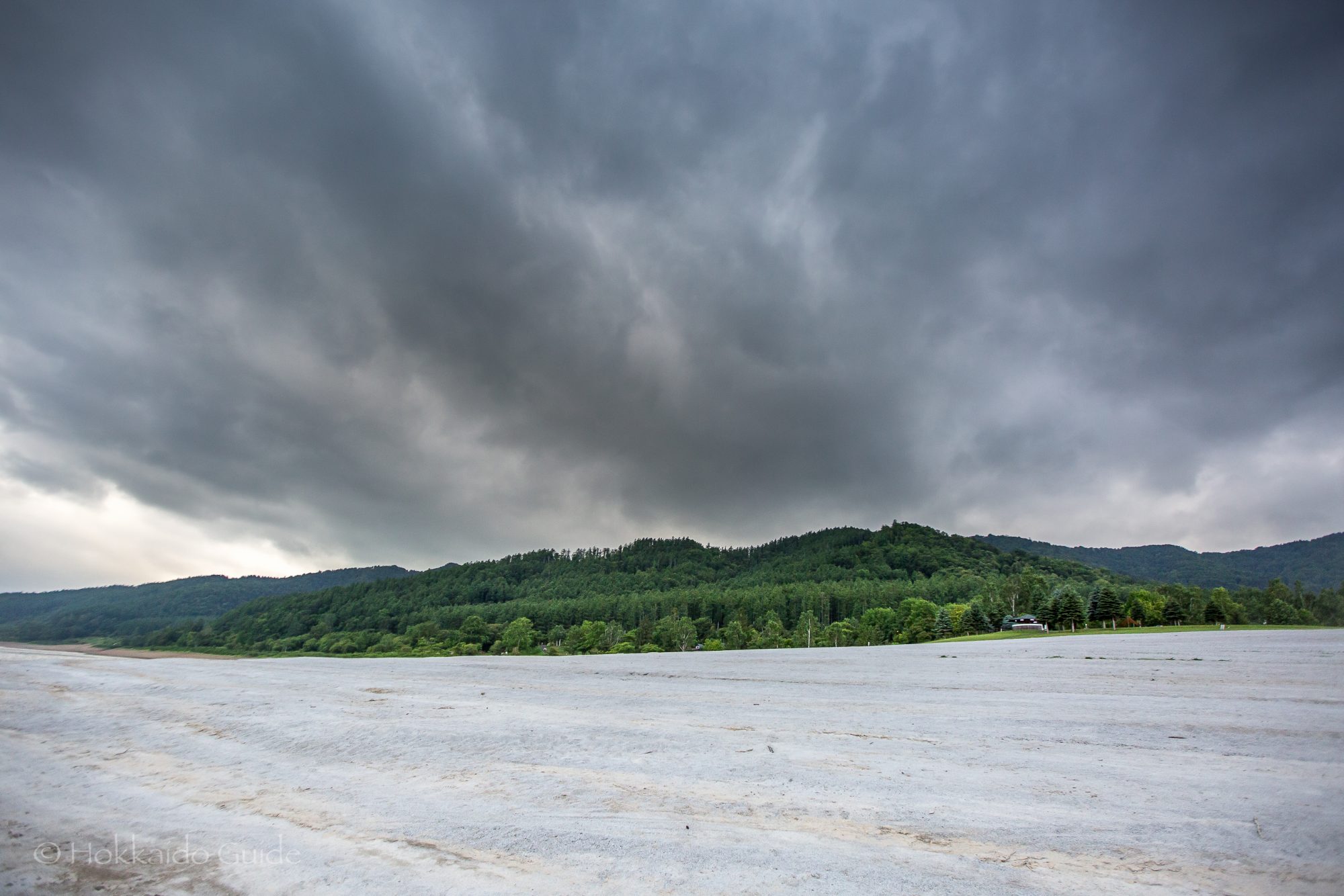
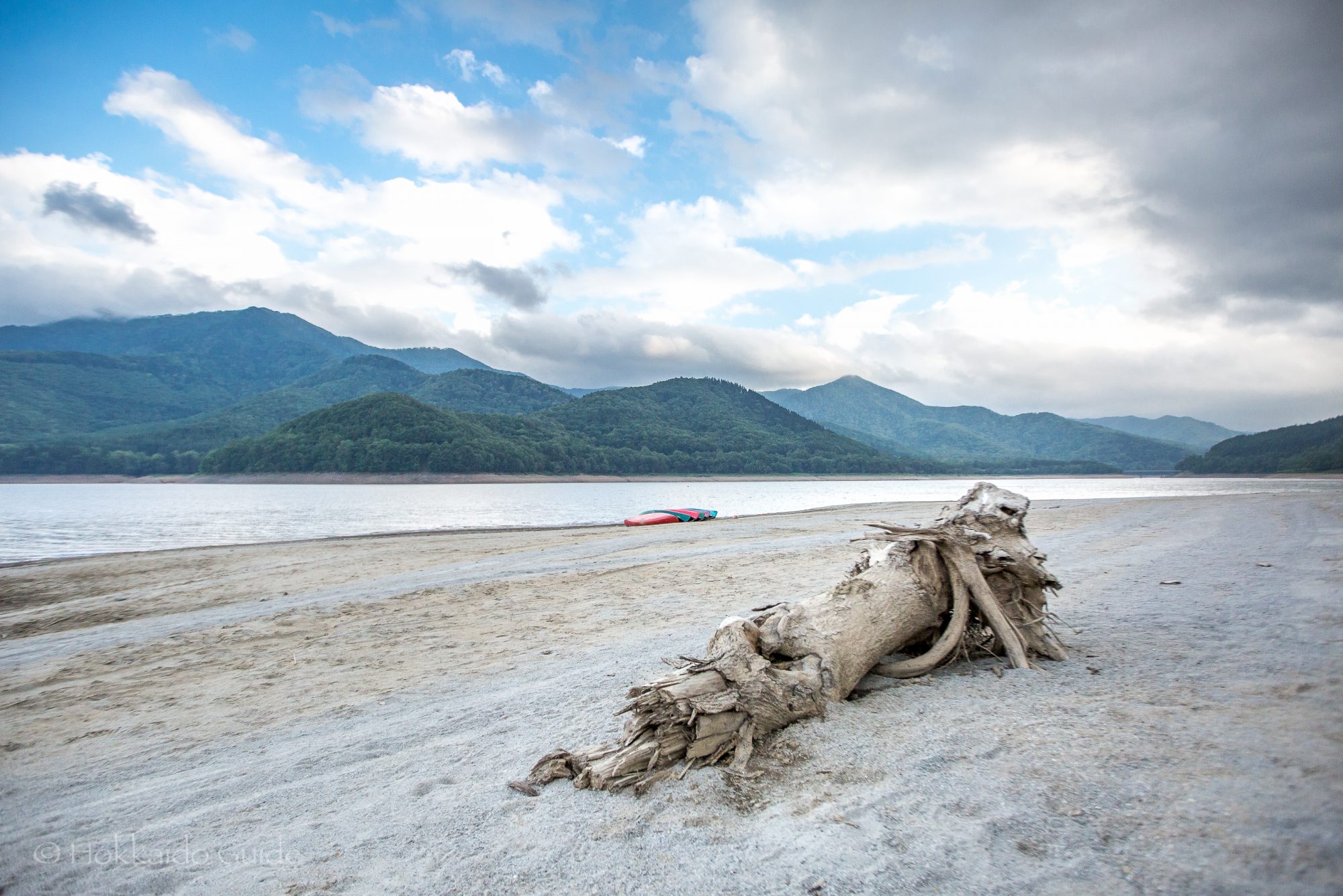
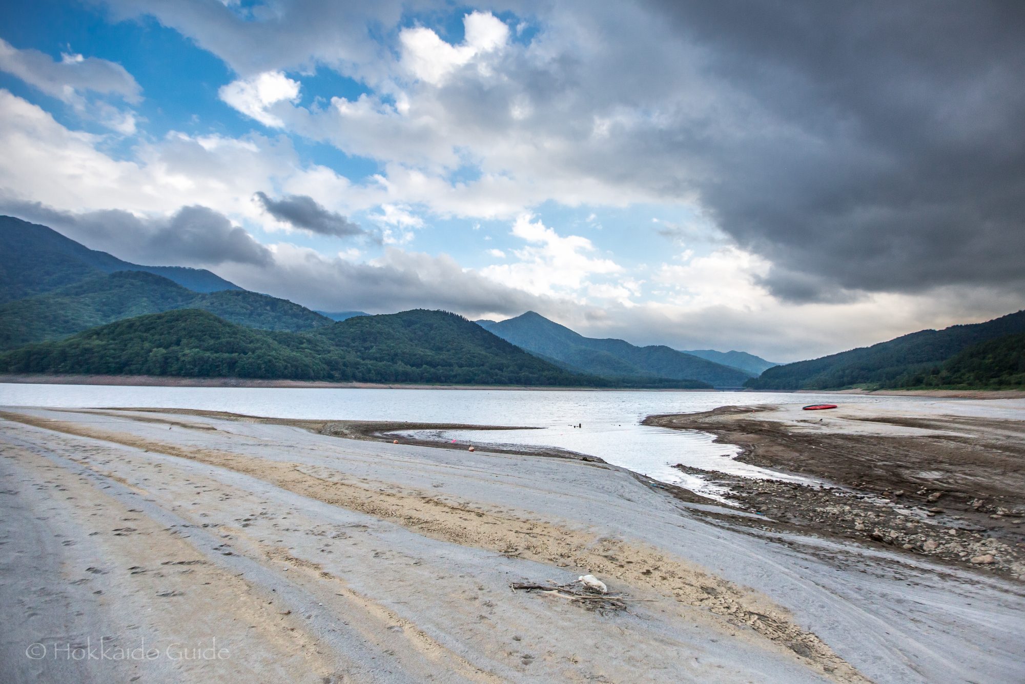
 In Central Hokkaido located in the district of Minami Furano you can find the impressive Lake Kanayama. This narrow lake stretches for about ten kilometers and is surrounded by wooded mountains. It is formed from the Sorachi River among half a dozen others. It is a very picturesque place to visit, and is a good stop over point of you are driving from Sapporo to Furano via the backroads. On its central northern edge there is the Kanayama Forest Park, which is home to the
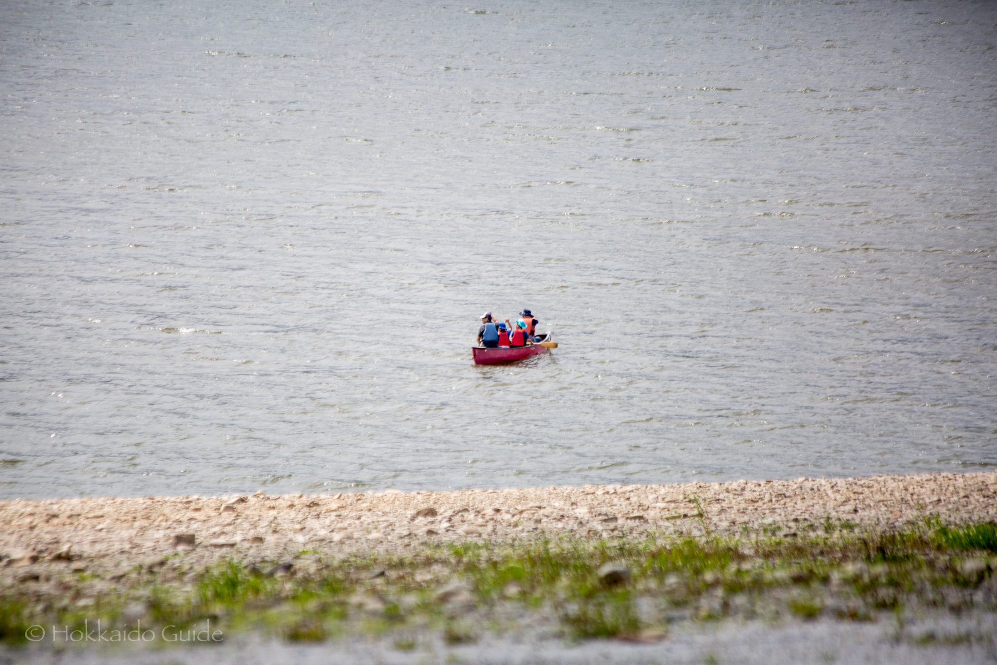
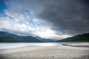
 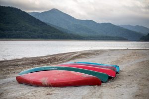 Along the lake you can often find a few fishermen, but if you want to get a closer look on the lake , then there is a fun canoeing tour that is available for the public! To rent out the canoes, you can talk to the staff at the Kanayama Camping Ground, as this is where the tour starts. The large canoes fit a maximum of five people (2 adults and 3 children) and the tour is overseen by a guide. Tours are from April to September and run for 1 hour 30 minutes. The canoes are available from 6:00 until 16:00. Guide, insurance, plus equipment is all included in the price, which is ¥5000 per canoe (cash only). There are five canoes so a maximum of up to 25 people!