Yuni Togakushi Shrine
Posted on
Yuni Togakushi Shrine is a small rural Shinto shrine located in the Furusan district of Yuni, Hokkaido. Although little is known about its exact origins, it is believed to have been established during Hokkaido's settlement period Read More ....


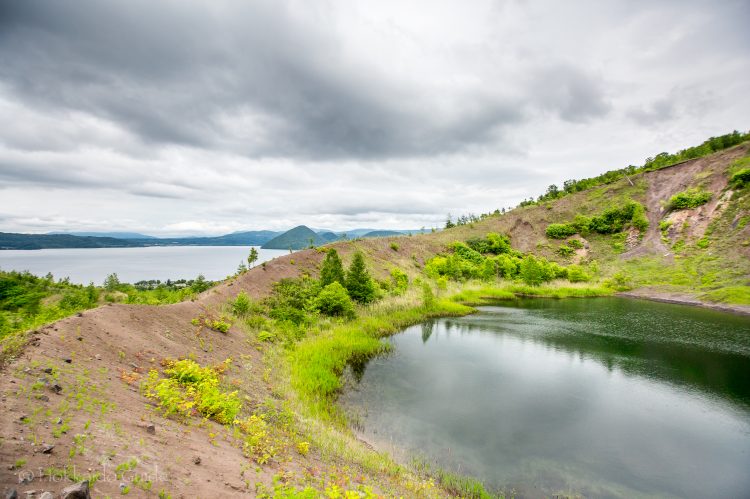

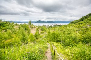
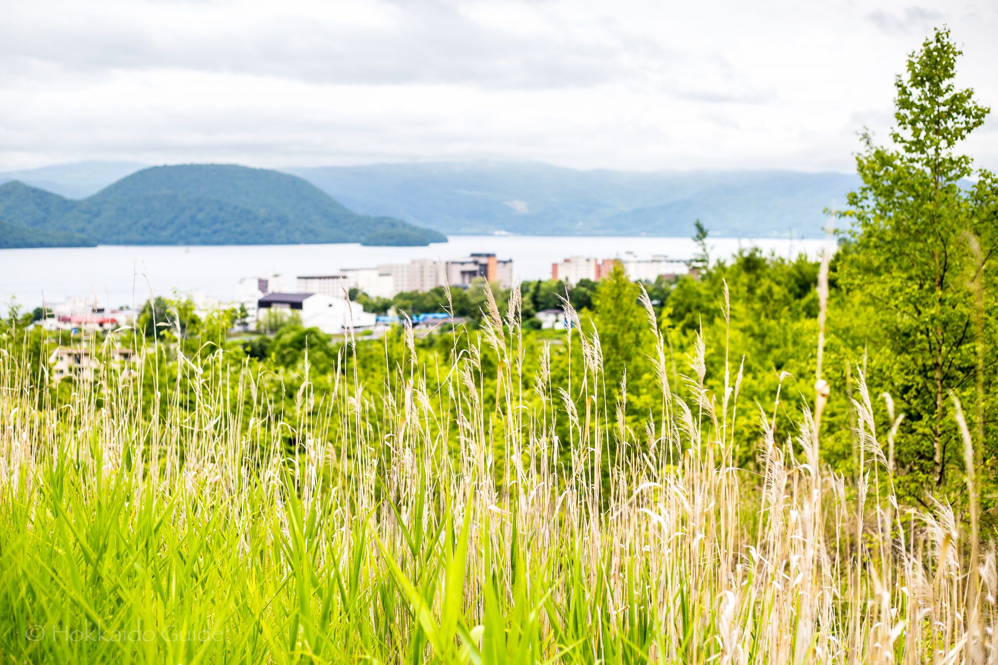
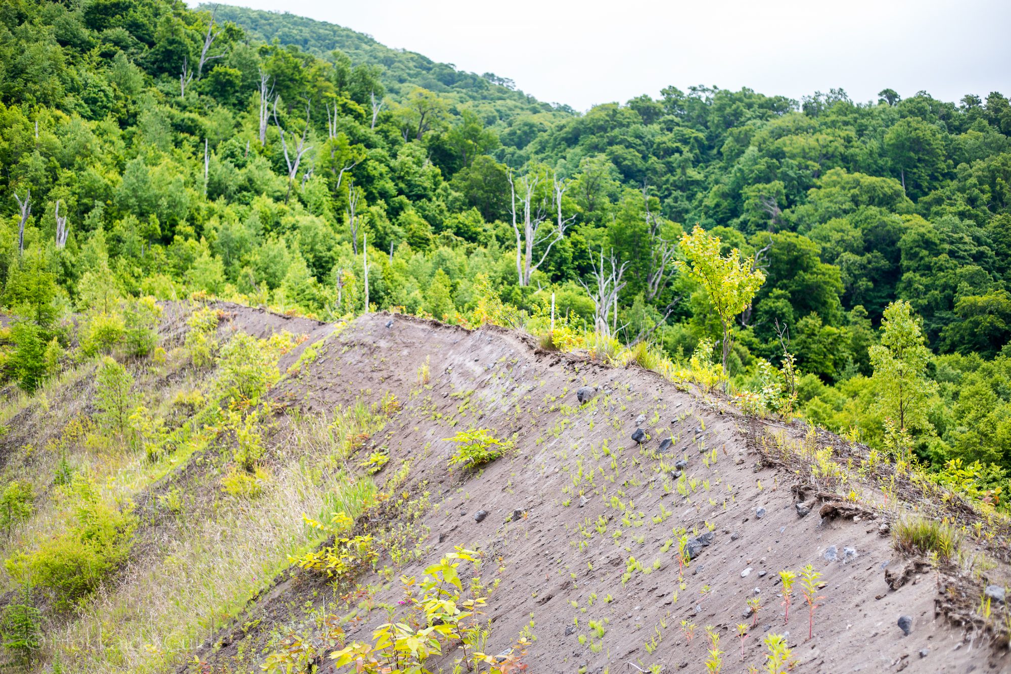
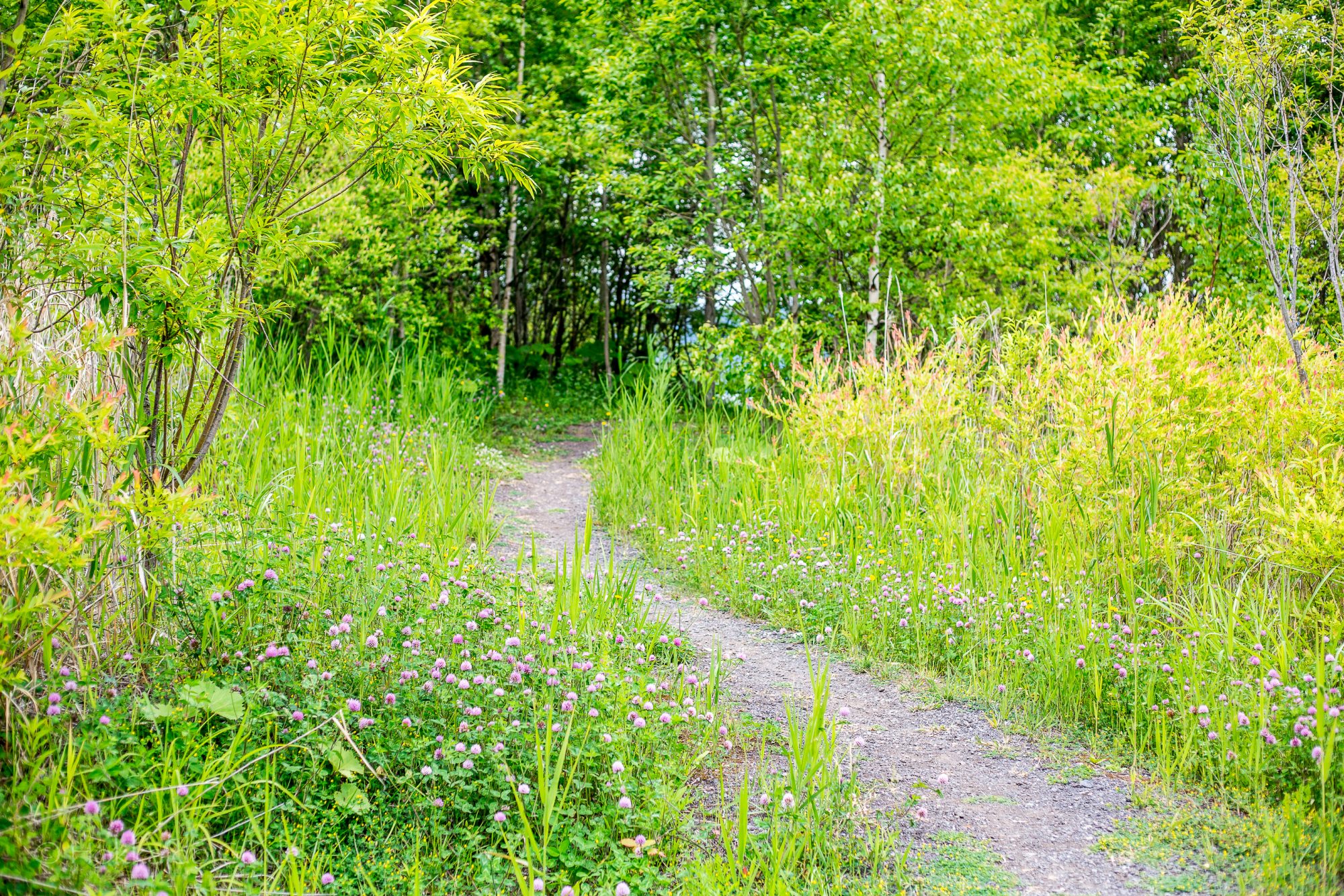
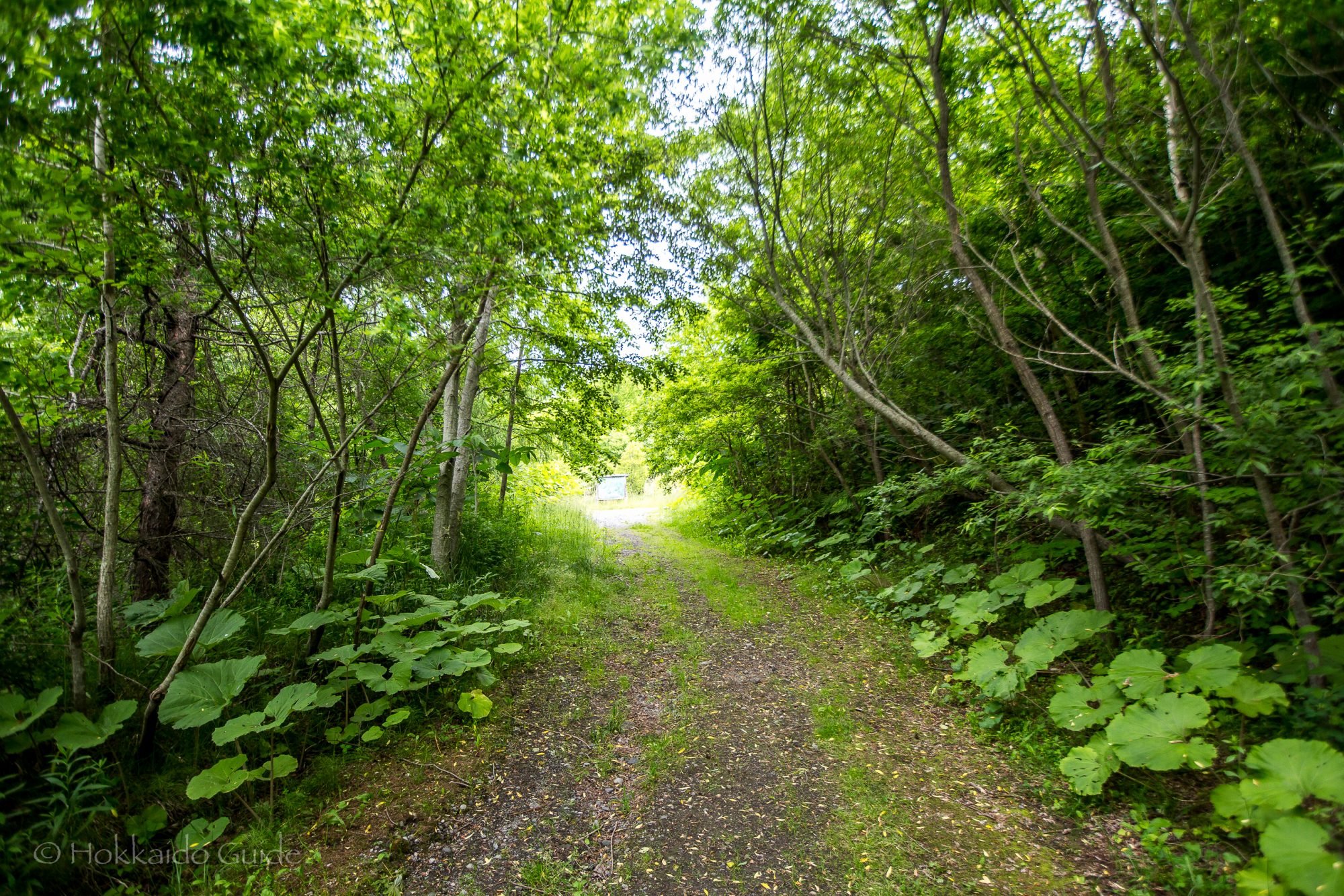
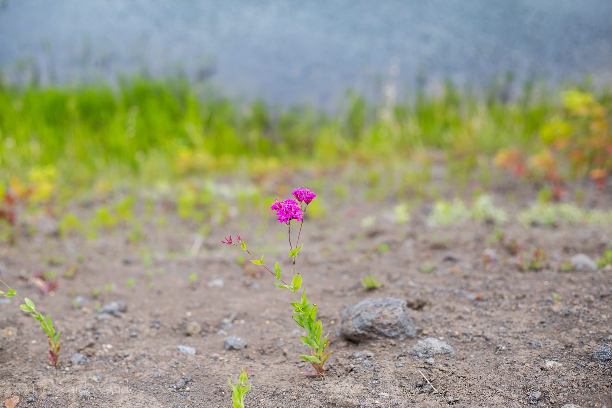
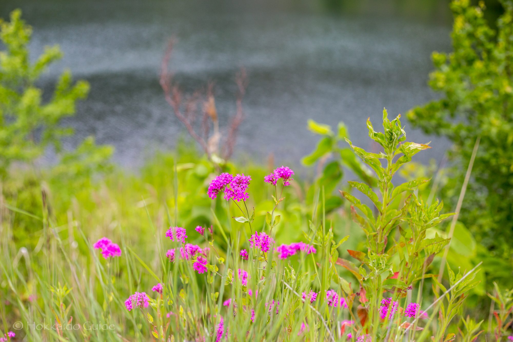
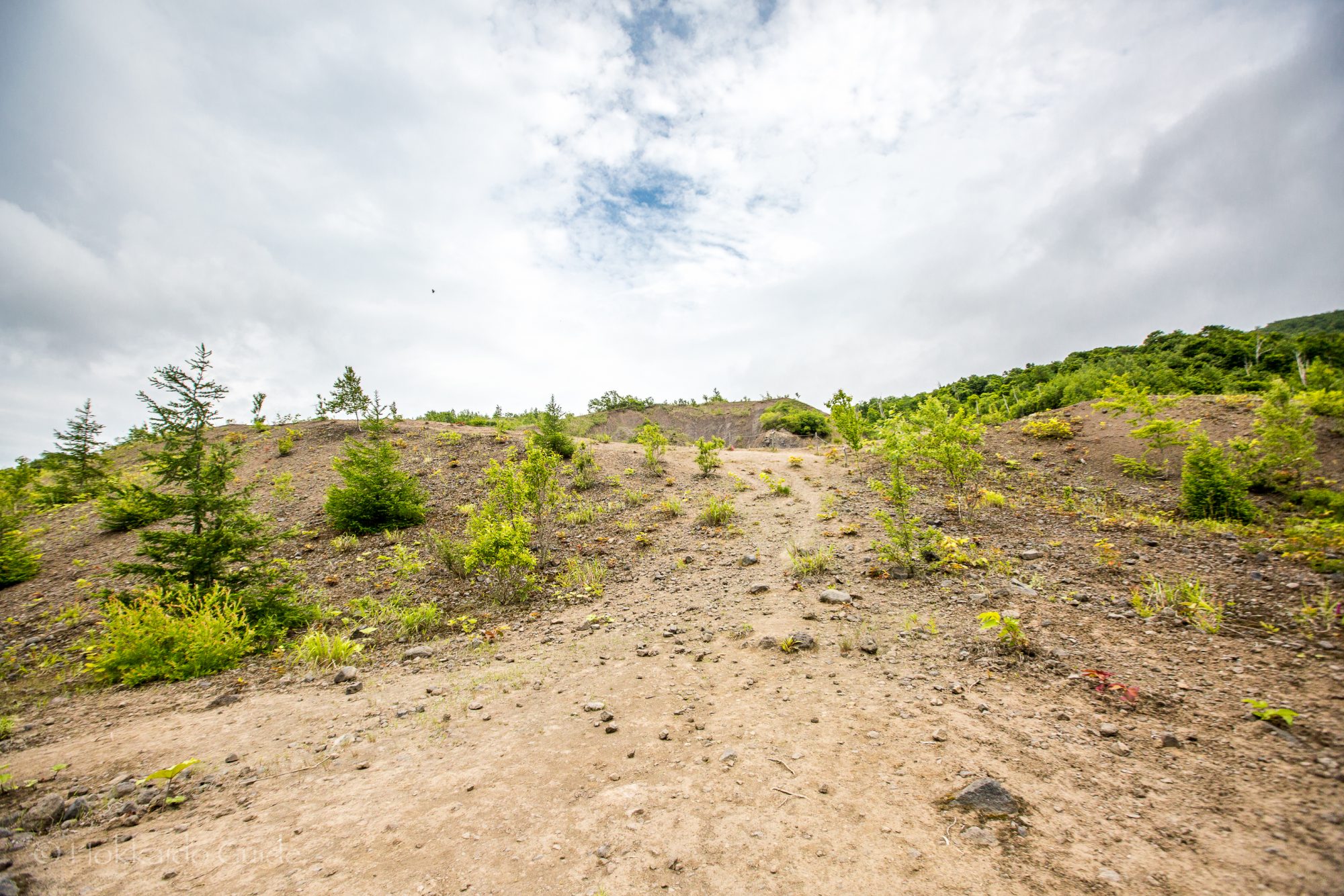
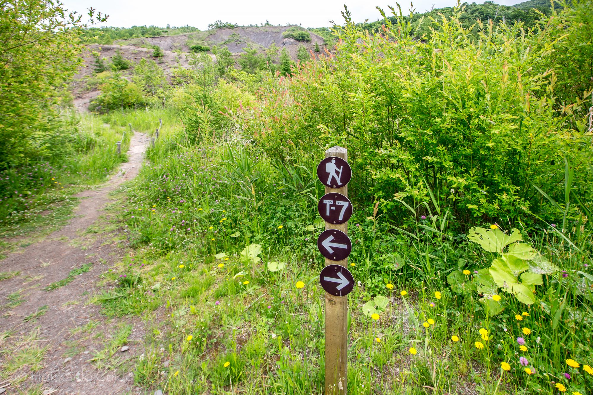
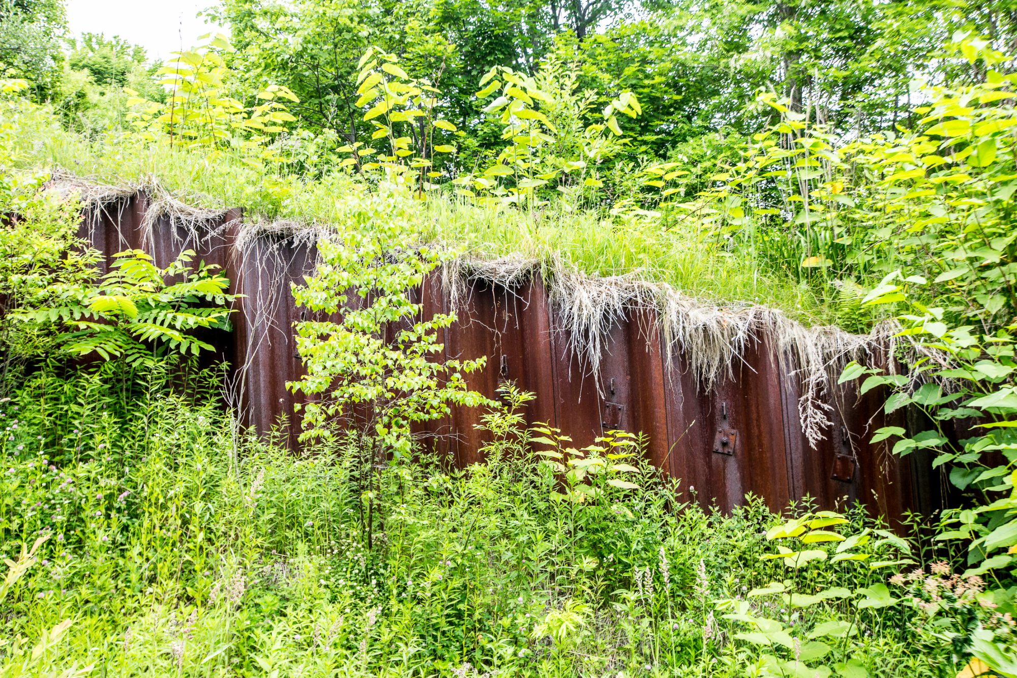
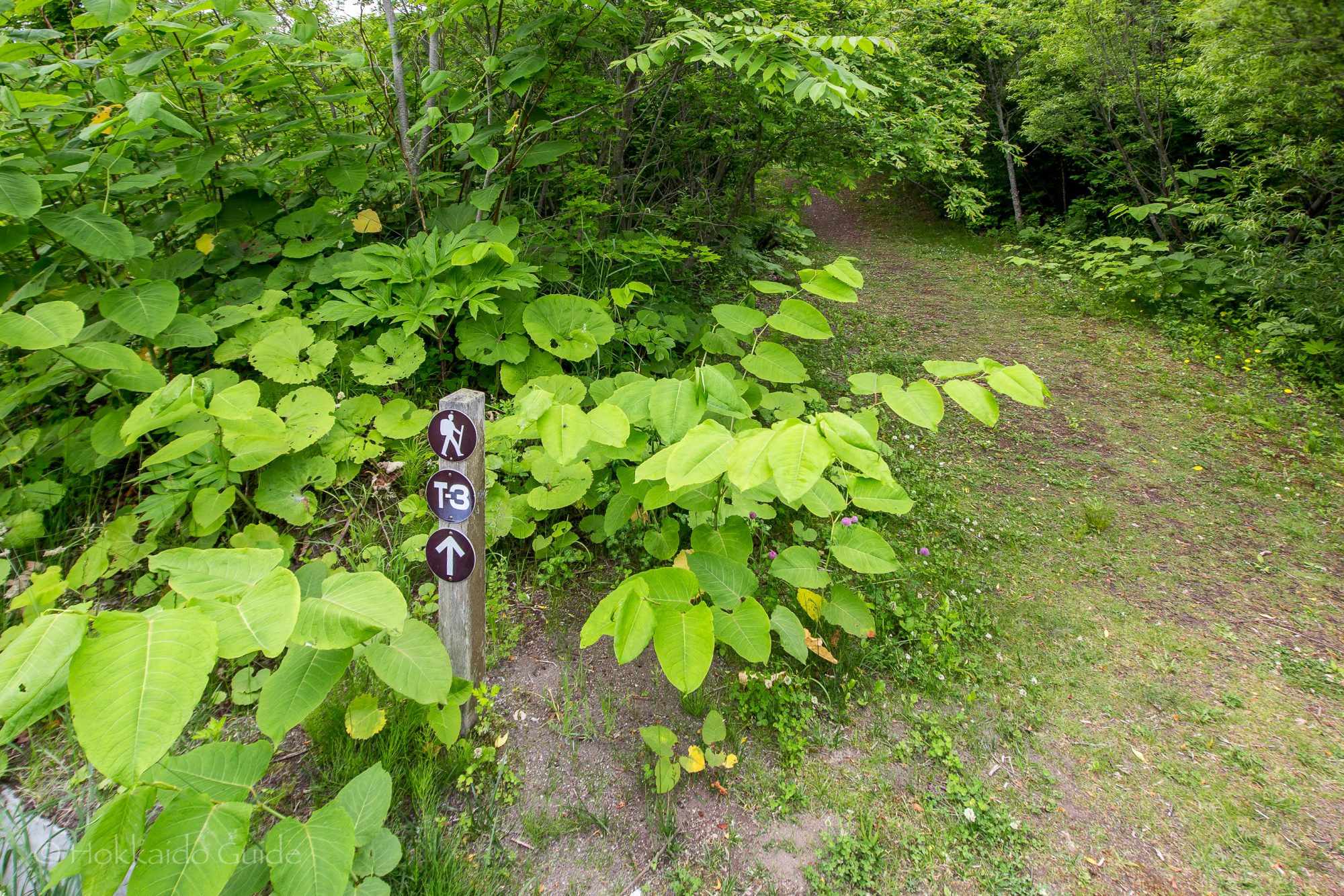
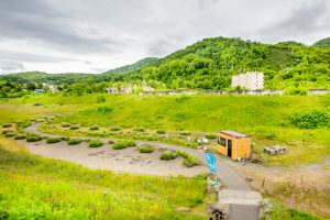 The walking trails are numbered from one to seven. You can find a map of these trails at the small hut at the base of the stairs that lead to start of the hike. The walk leads up into the hills where you can view the Ari-kun crater. Simply follow the sign mark T-7 and this will lead you to the crater. Along the way, you can see the steel barriers that were erected to protect the town from the hot mudflow after the 1977 eruptions. The trail is a circuit that also leads past the Sakuragaoka Housing Complex Ruins. Not only can you enjoy the views, but you also learn about the interesting history of the impact of the volcanoes in the area!