Yuni Togakushi Shrine
Posted on
Yuni Togakushi Shrine is a small rural Shinto shrine located in the Furusan district of Yuni, Hokkaido. Although little is known about its exact origins, it is believed to have been established during Hokkaido's settlement period Read More ....


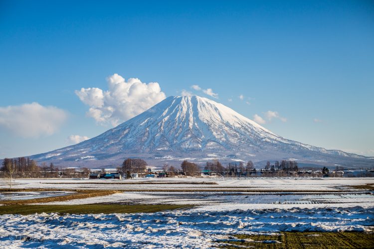

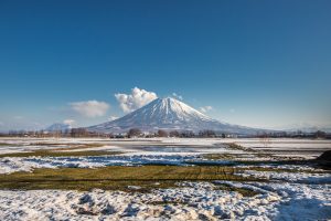 Mount Yotei is an active stratovolcano that can be found in the Shikotsu-Toya National Park. It is also known as ‘Ezo Fuji’ (Ezo being the old name for Hokkaido). It is in the top hundred mountains of Japan, and is definitely a breathtaking mountain to look at. This iconic mountain can be seen from all the surrounding farmlands and the ski slopes of the big towns of Hirafu, Niseko, Rusutsu and Kutchan. Not only is its snow covered peak popular in Winter, but the Summer, Spring, and Autumn brings hikers and trekkers to its base as there is a great hiking trail on the western side. From this peak, you will be amazed at the beautiful views from its peak. For those who do decide to trek to the top it takes about seven to ten hours for a round trip. There is a campground near the base as well.
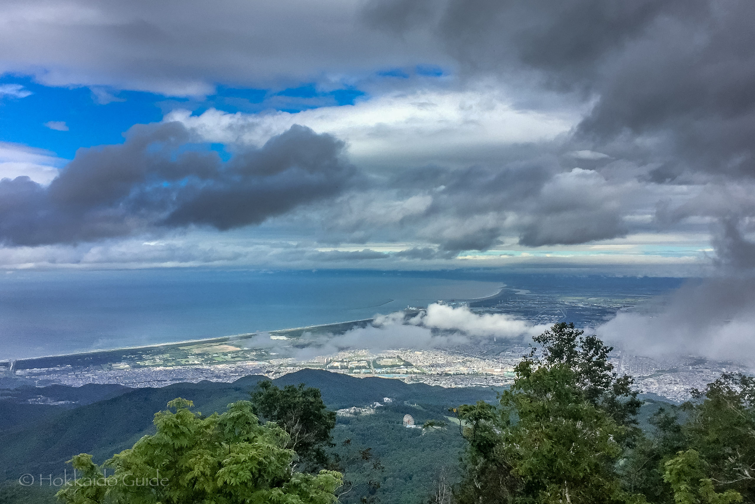

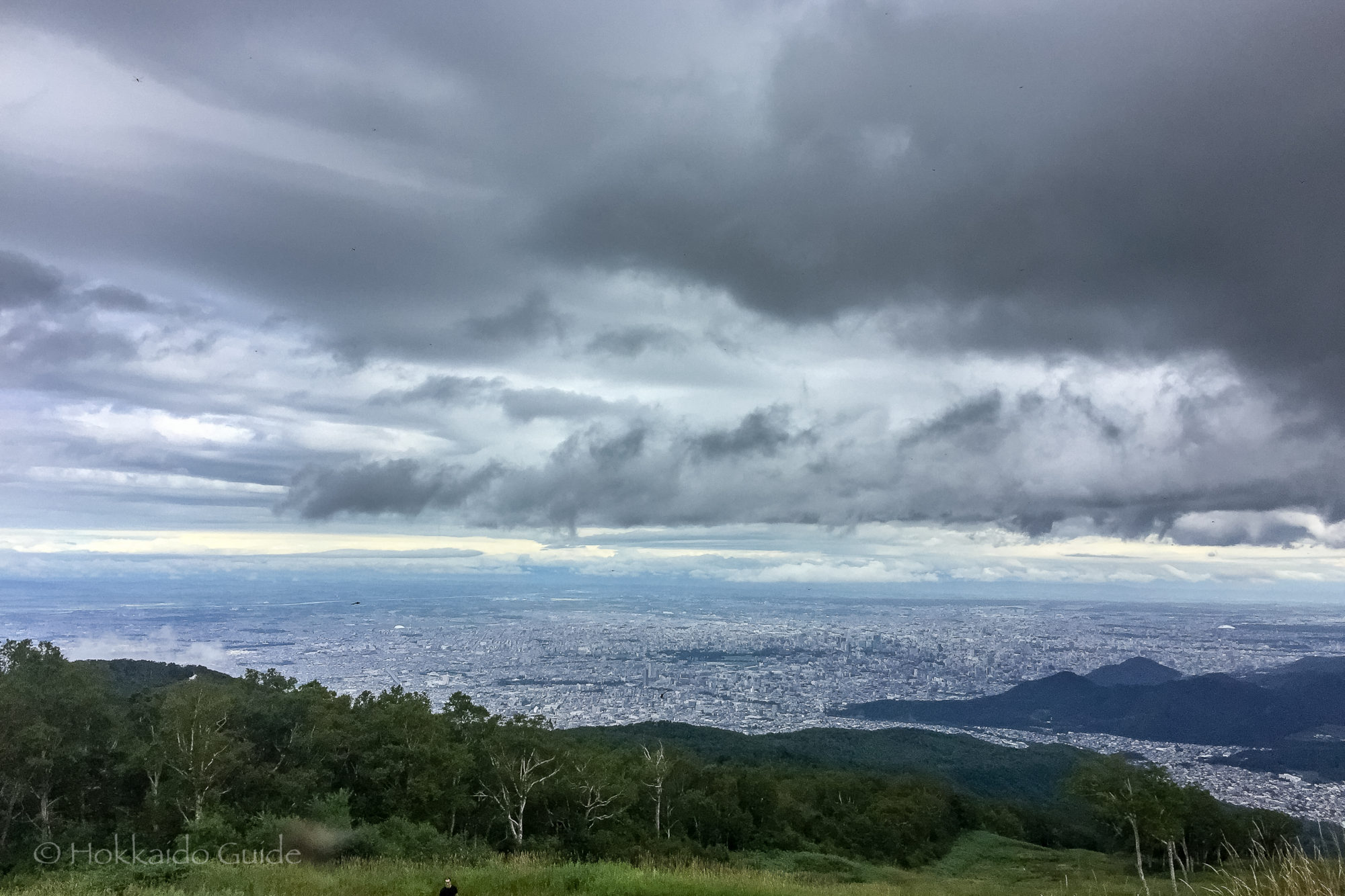
 Mt Teine is a very popular mountain on the western outskirts of the city of Sapporo. The mountain has an elevation of 1,023 meters, or 3,356 feet. This mountain is busy during summer as well as winter. During the winter months Mt Teine serves as a ski resort which sees thousands of locals and visitors enjoying the ski slopes whether it be skiing, or snowboarding. Mt Teine was one of the sites of the first Winter Olympics held in Asia, in 1972. This mountain hosted the giant slalom and slalom events in alpine skiing.
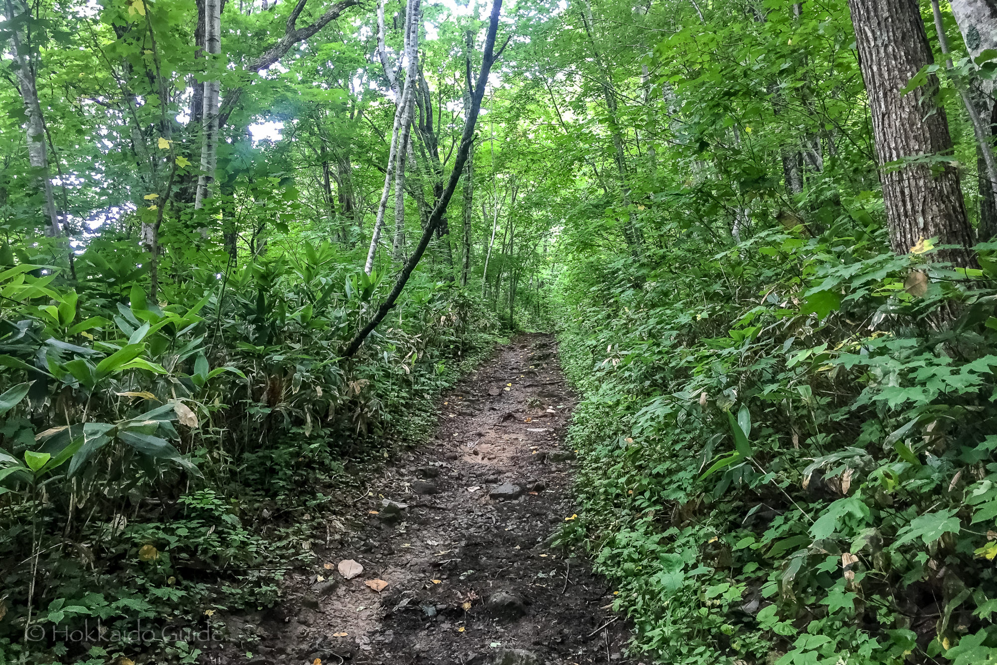
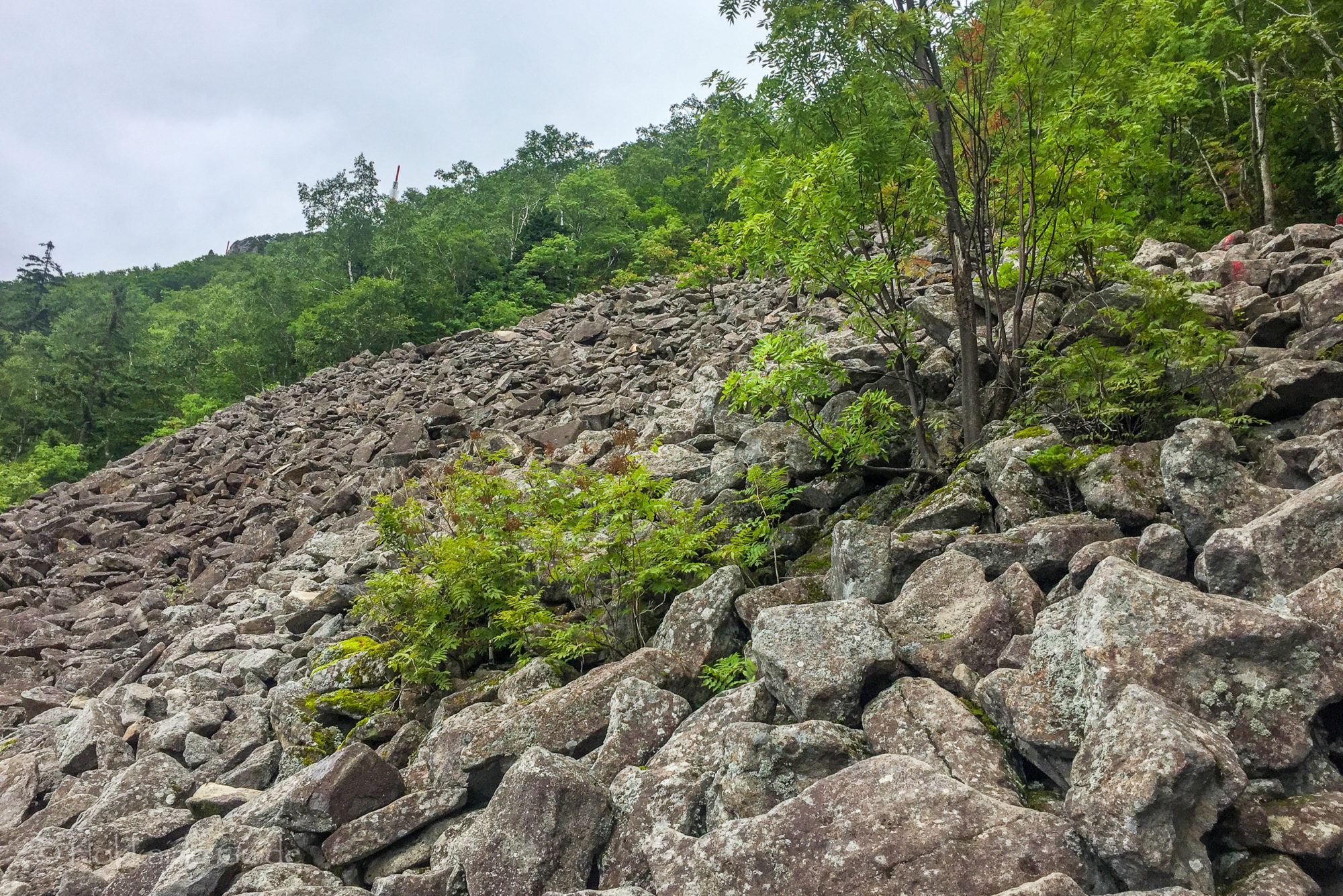
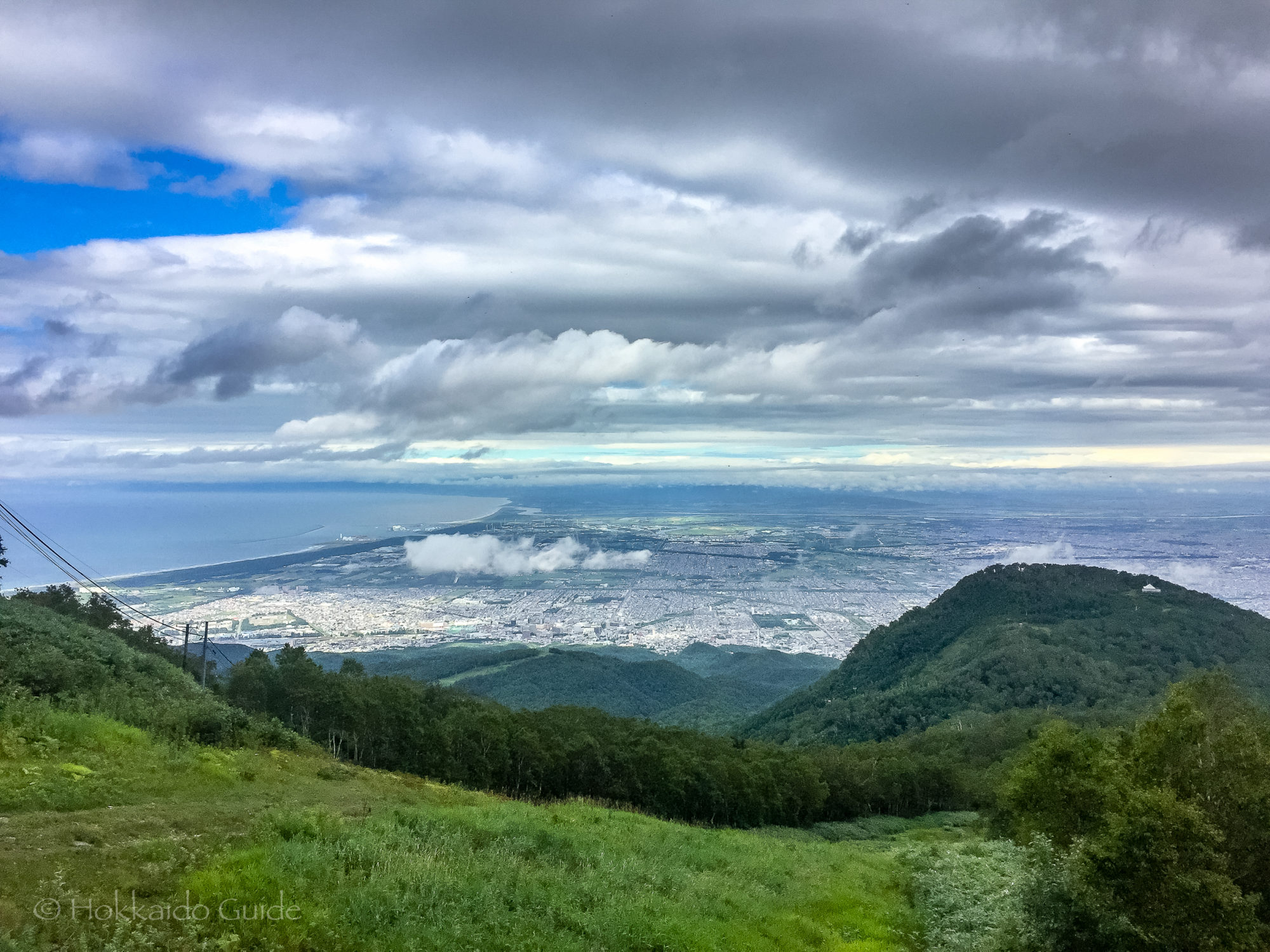
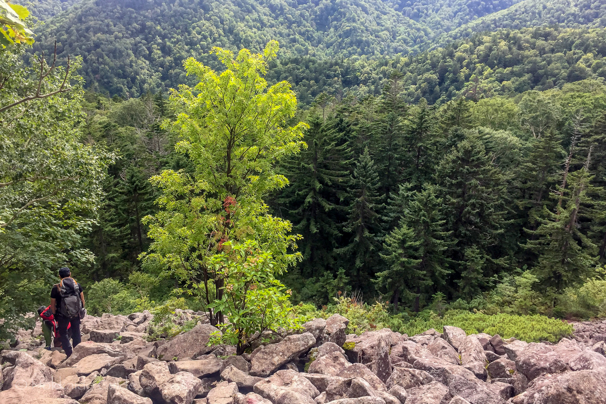
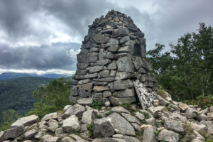
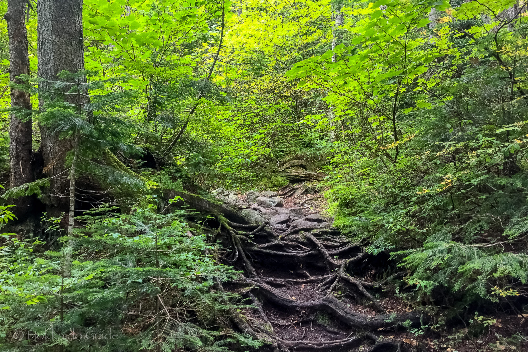
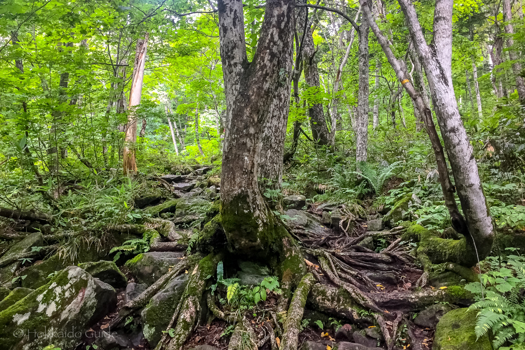
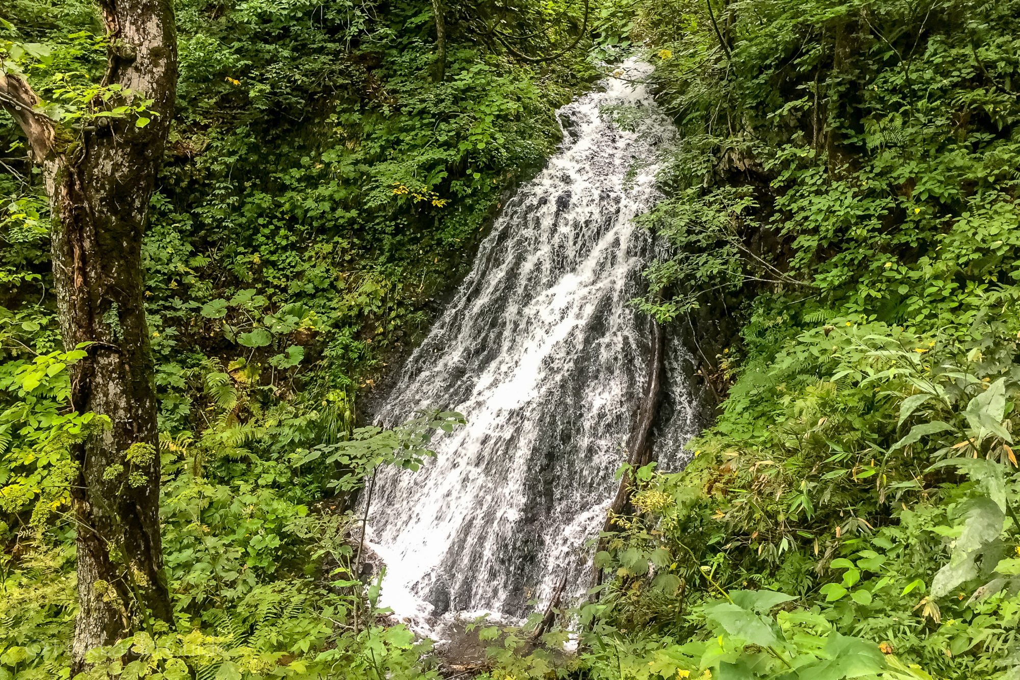
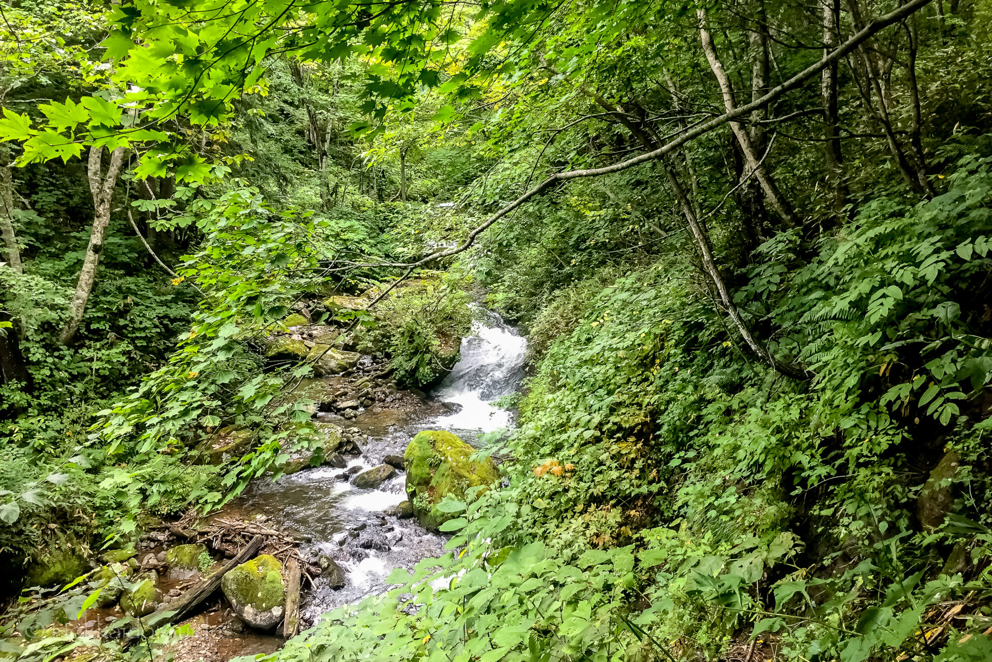
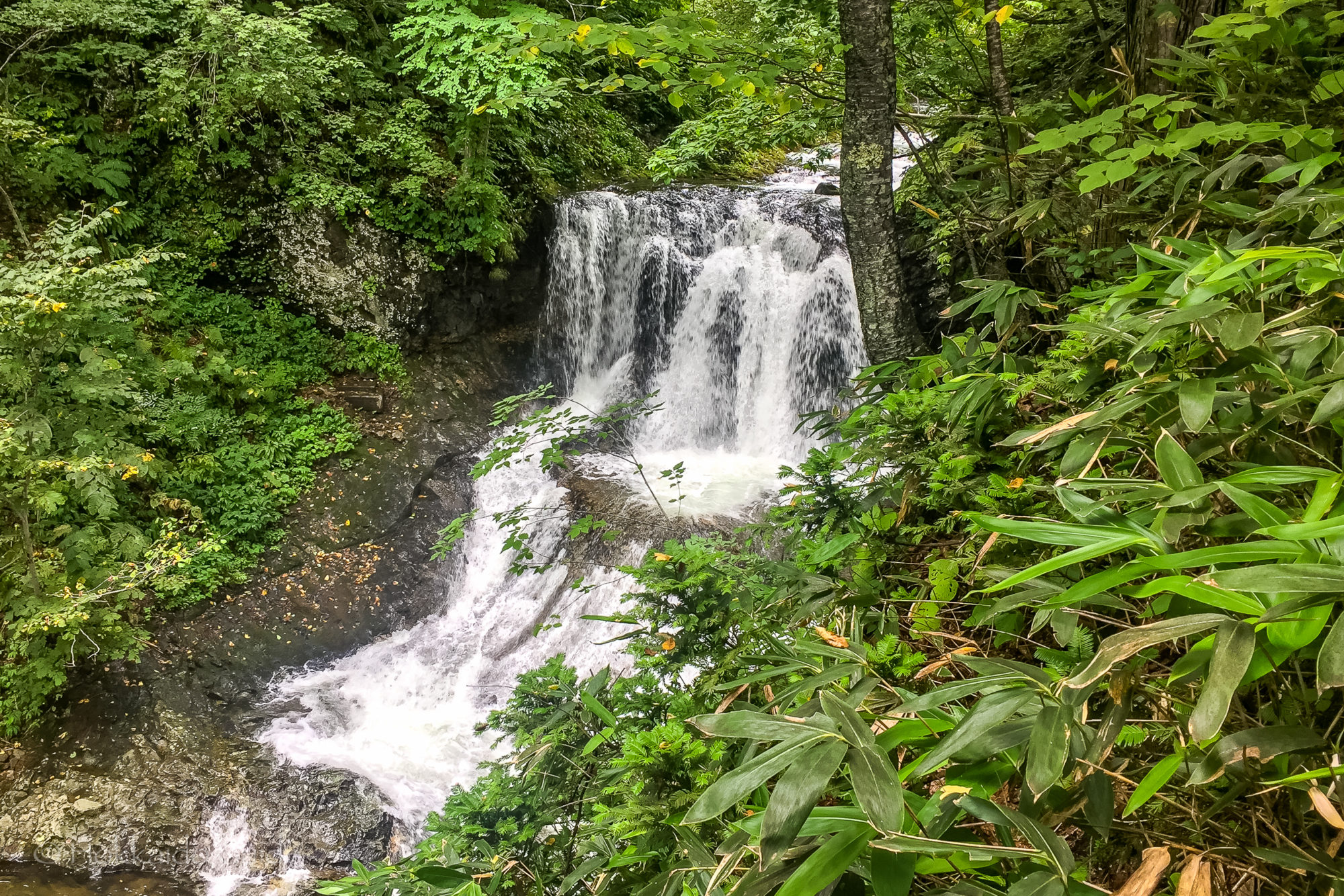
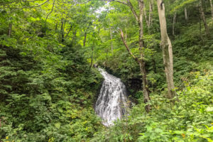 During the summer months there are hiking trails that lead to the summit of the mountain. For those who don’t wish to hike the trail (which takes about 2 hours to the top), there is an access road which can be used to drive up where you can enjoy the views over Sapporo and Ishikari Bay. The trail head can be found at Heiwa no Taki (peace waterfall). There is parking here and you can find the trail next to an old shrine here. Along the path you can see the Nunojikino Falls, a small waterfall, plus along the path you can pick wild vegetables including mushrooms. The trail turns into a rocky slope near the top so be sure to wear suitable foot wear.
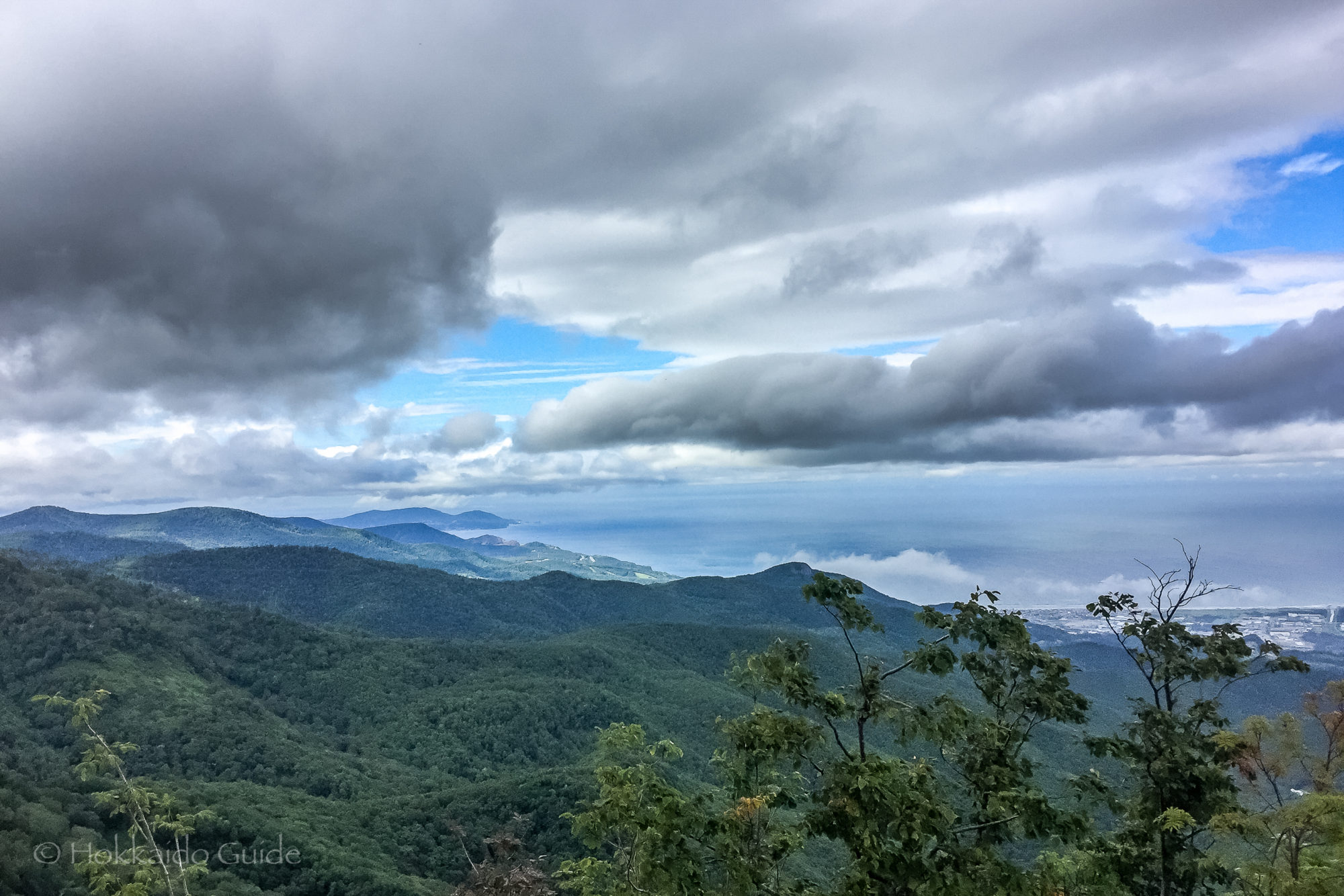

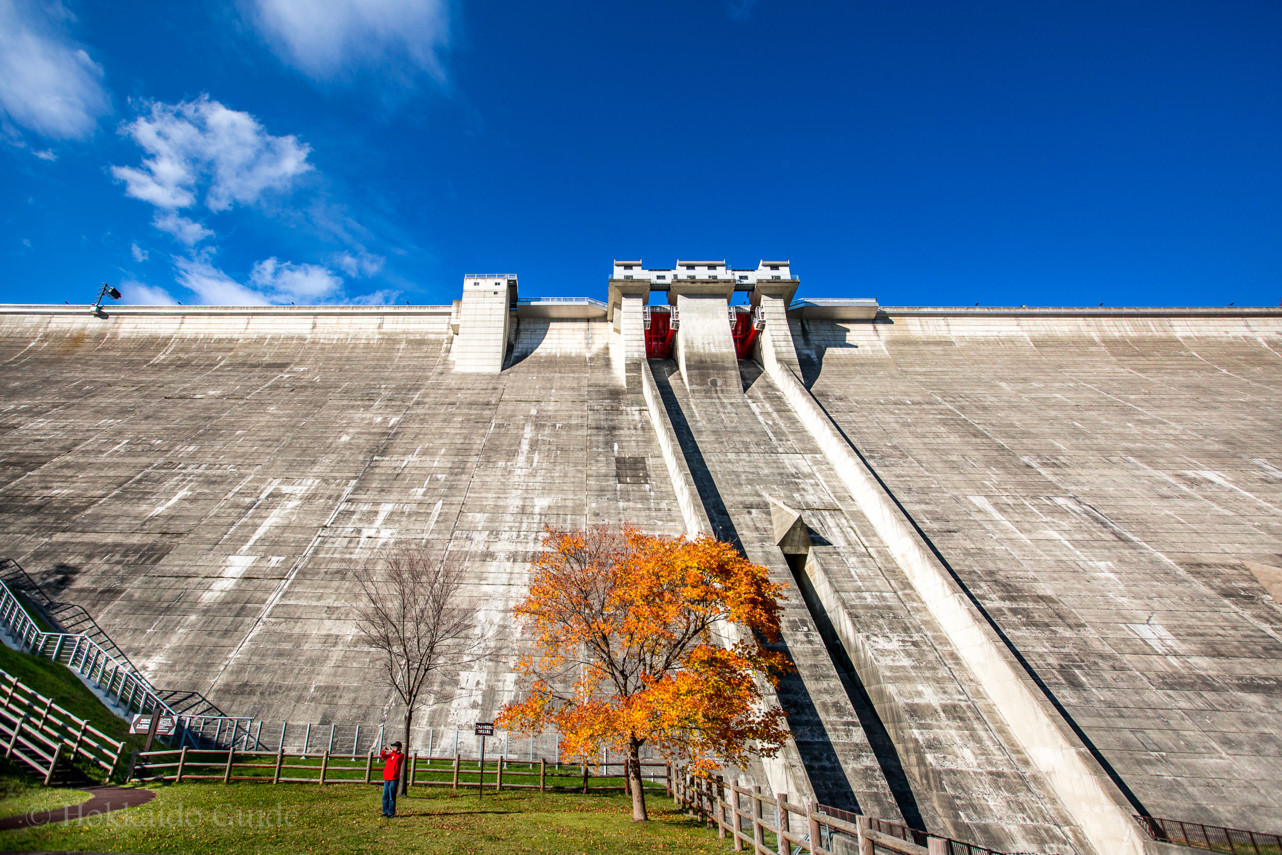

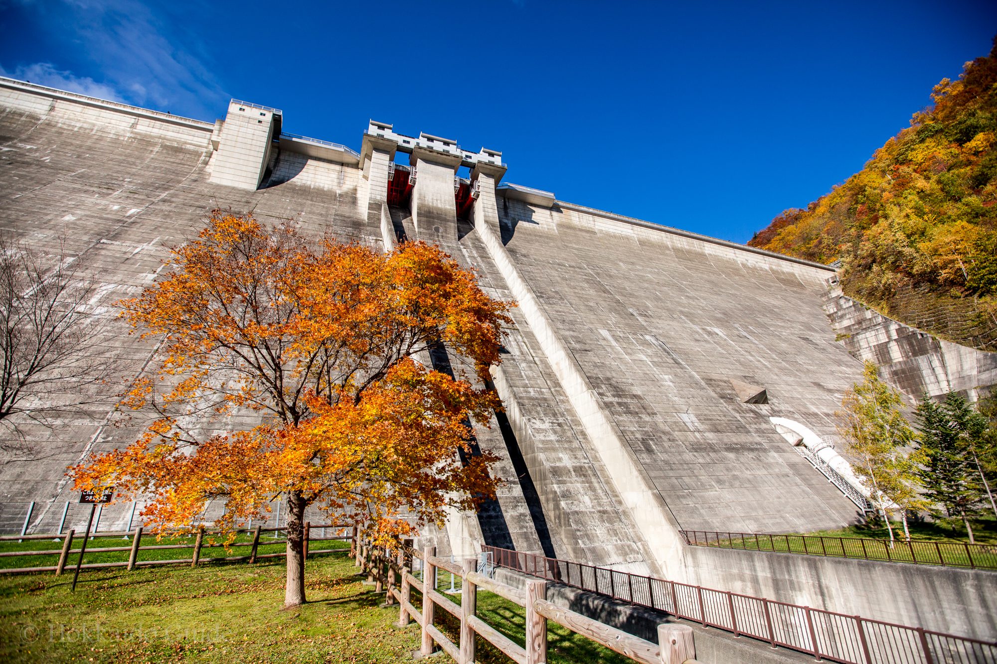
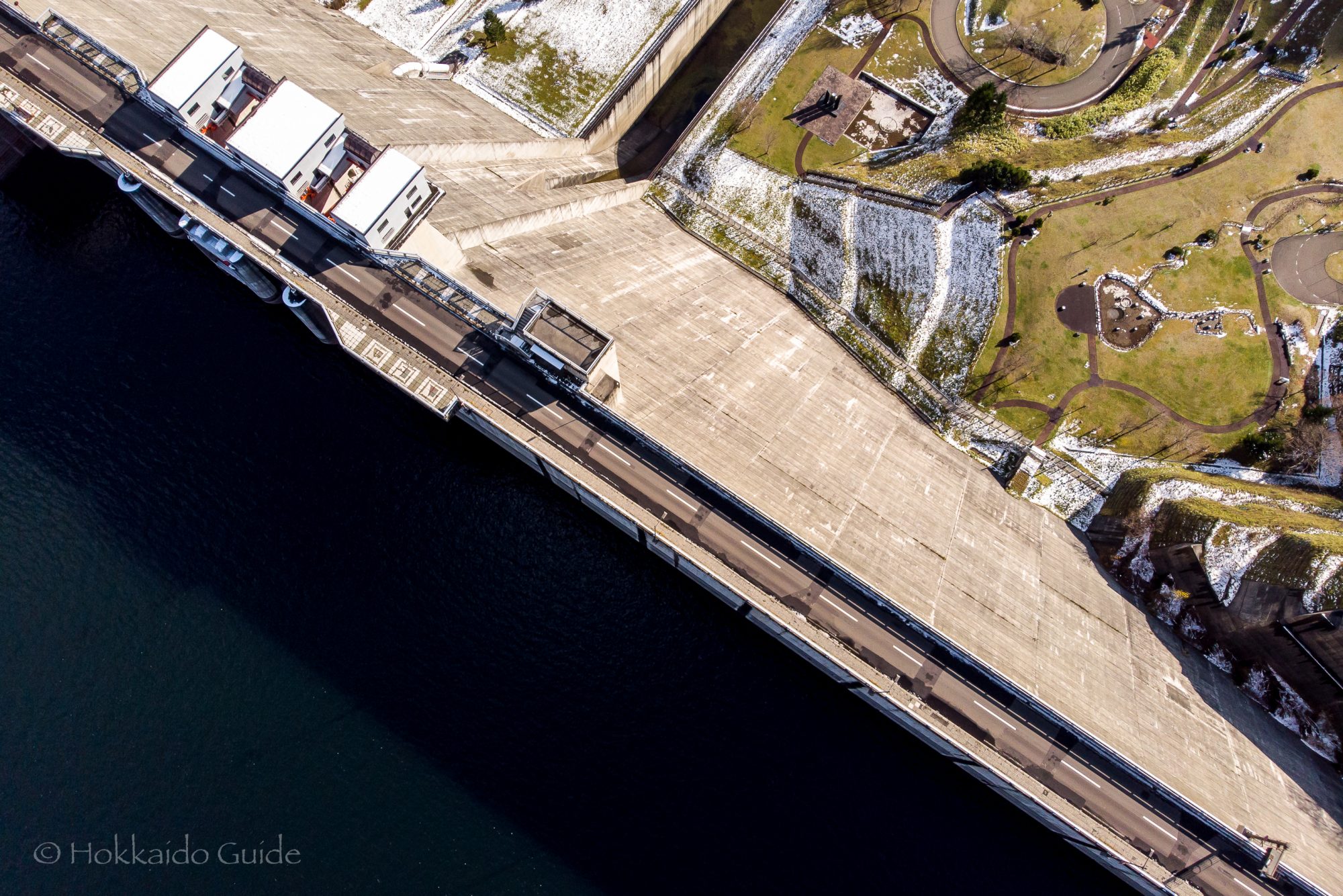
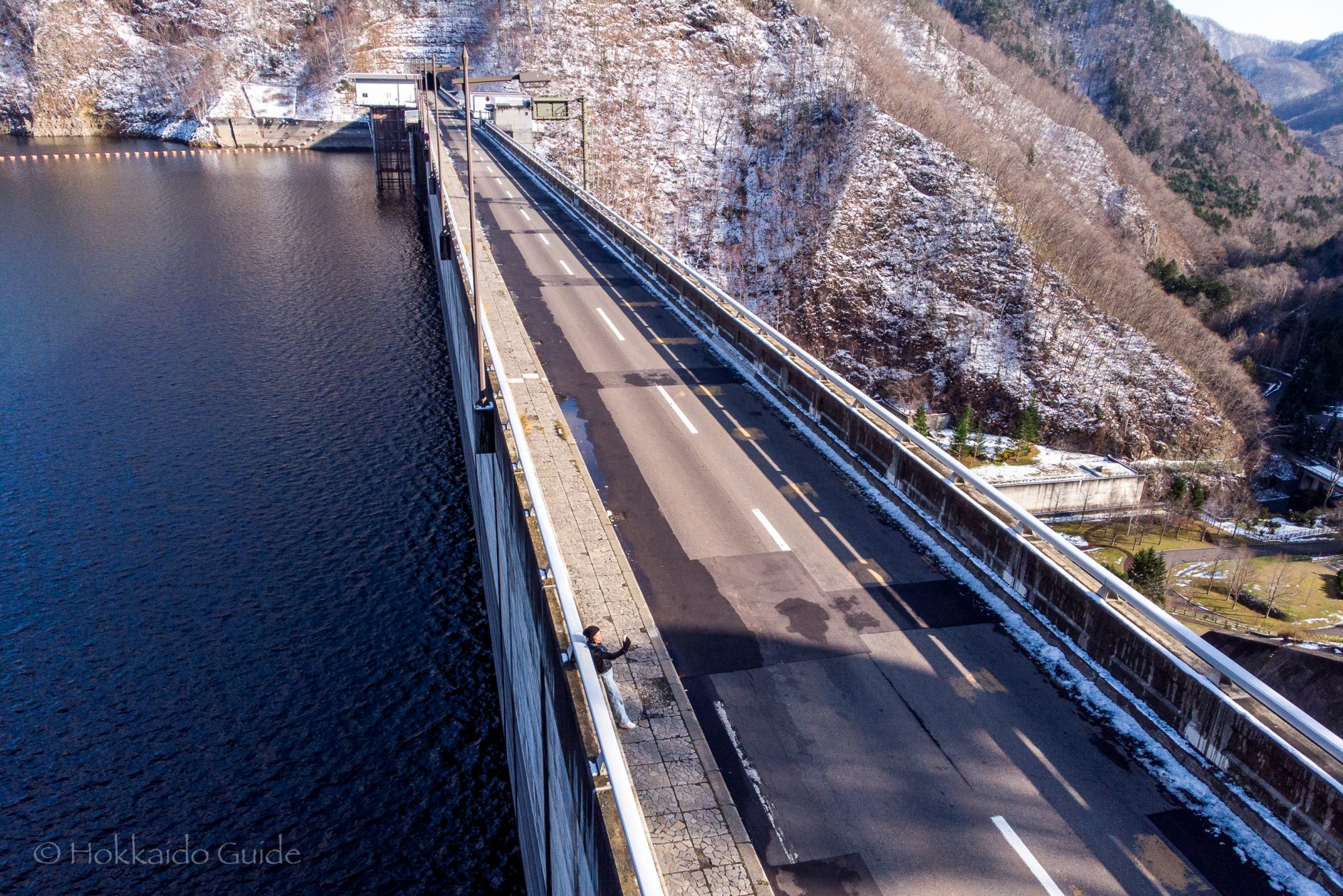
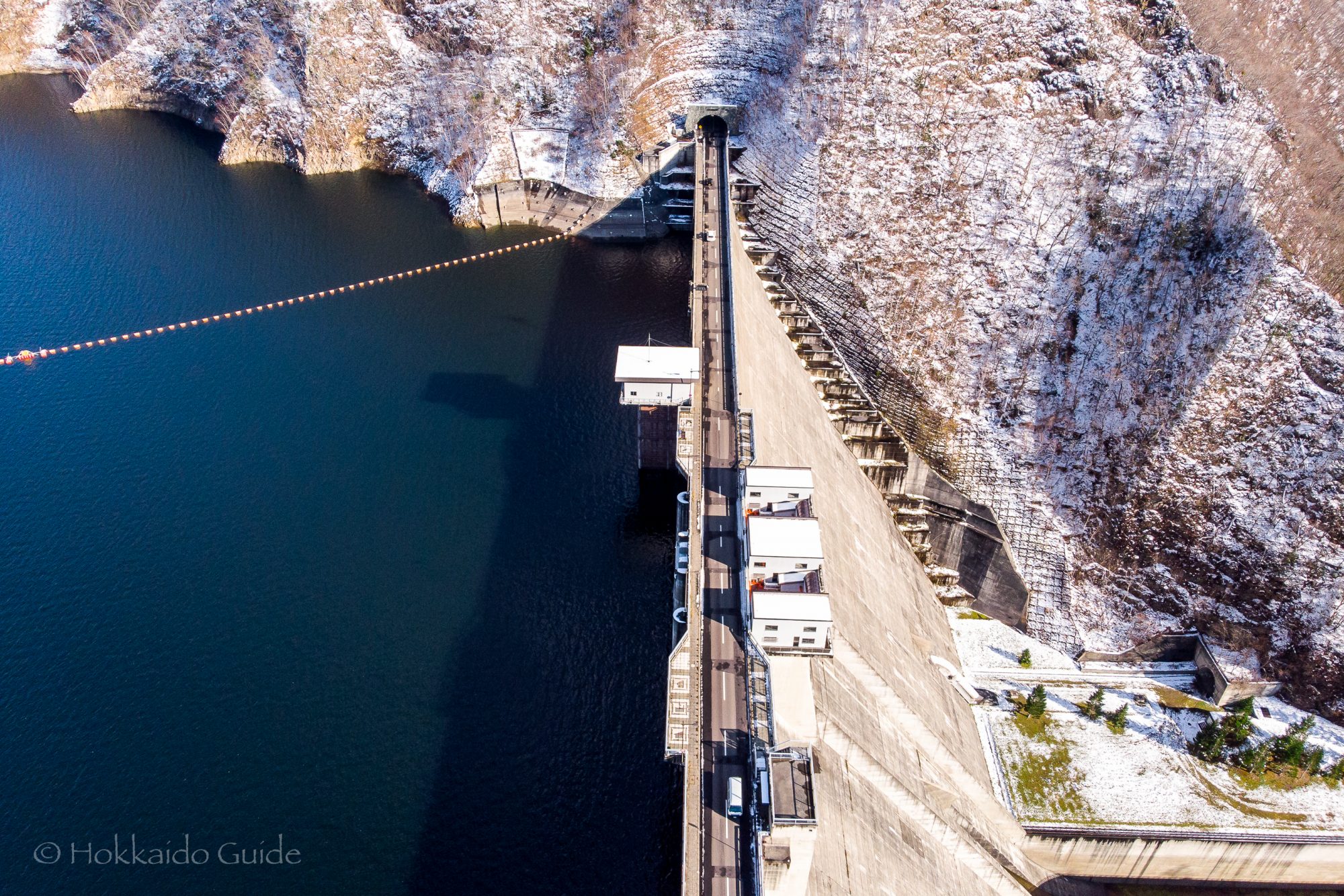
 Jozankei Dam is a great sightseeing spot. Completed in 1989 and measuring at 117 metres, it offers fantastic views over Lake Sapporo and down the river in which it feeds into. Not only does Jozankei Dam have great views, but it also has a museum that is free to enter. The museum displays diorama models of the dams construction, has historical pictures and panels of the local area, and videos and exhibits detailing the electricity system. You will need access to your own transport to get there, though if you are a bit more adventurous, its a good walk from the central onsen district of Jozankei.
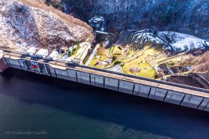
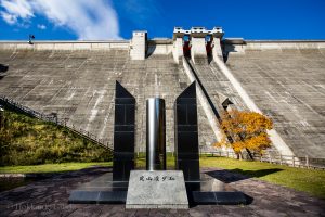 There is plenty of parking at the dam if you are driving. There is a trail that leads down to the bottom of the dam which makes for a pleasant walk through the trees and park areas. It makes for a great spot for a picnic, a spot of lunch or to view the autumn leaves in season. The trail to Mt. Kotengu can also be found here. The whole area of Jozankei is nice spot to drive or walk around. While in the area, there is not only Jozankei dam, but also the
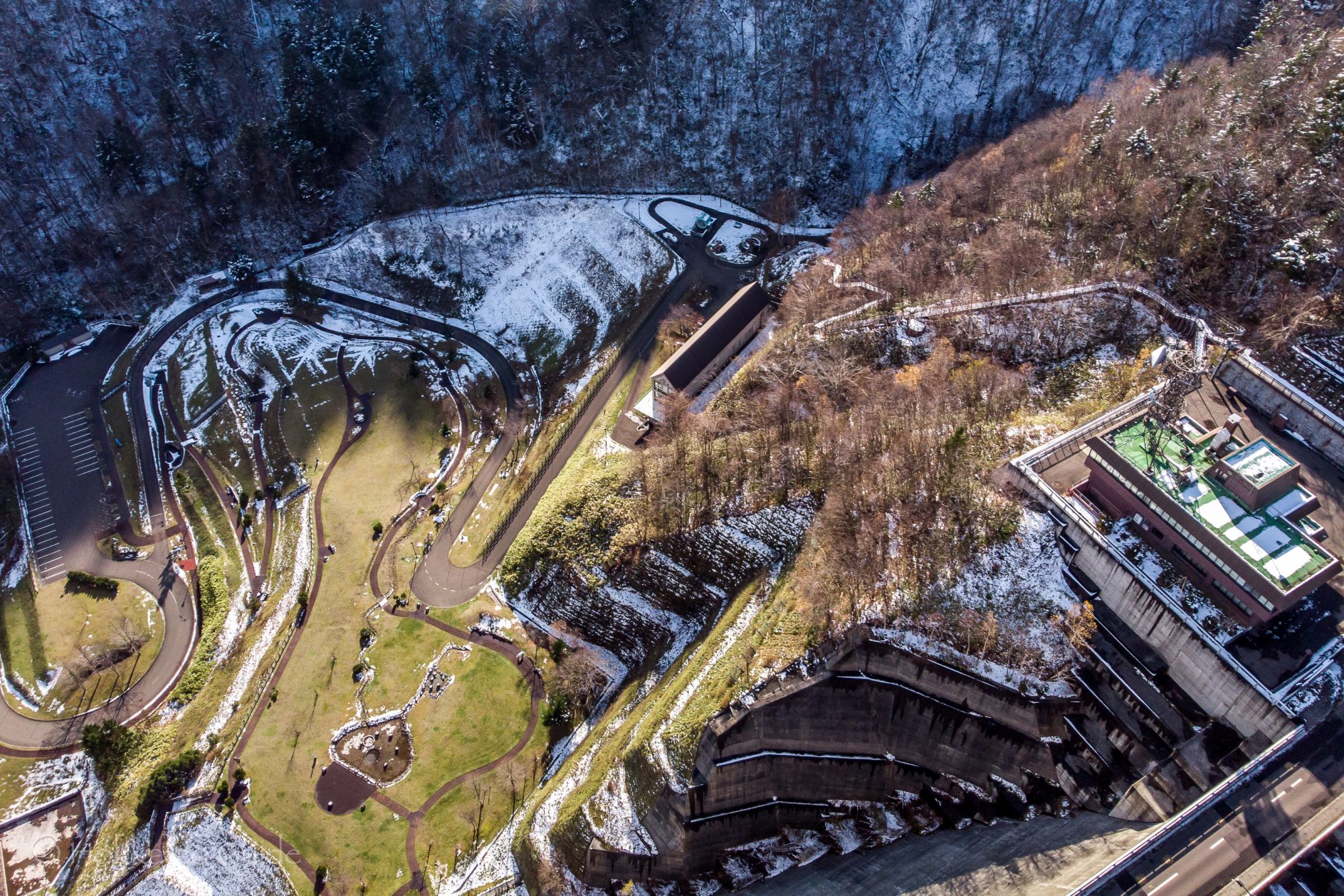

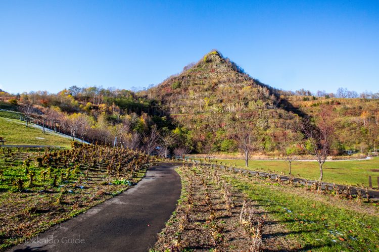

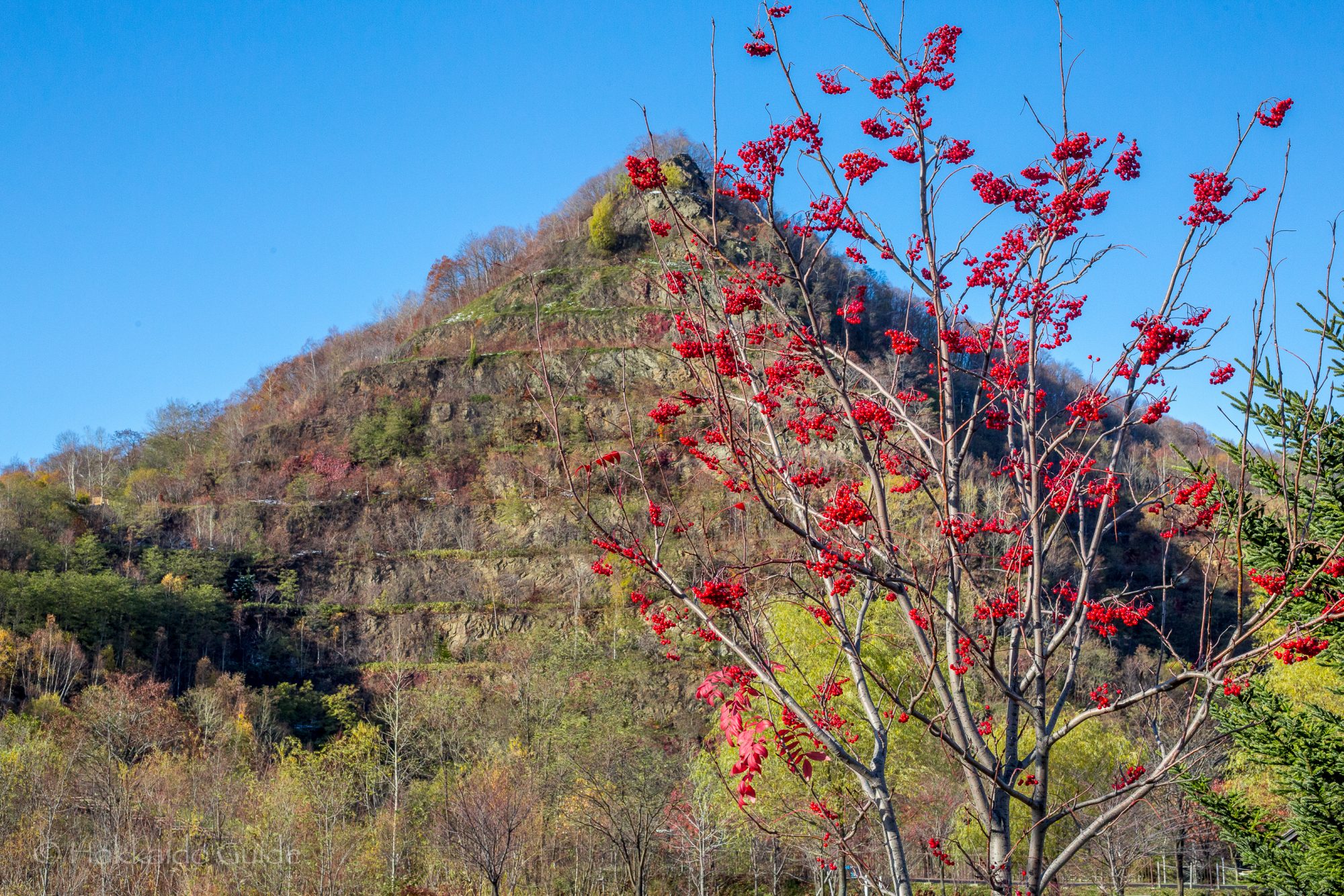
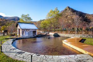
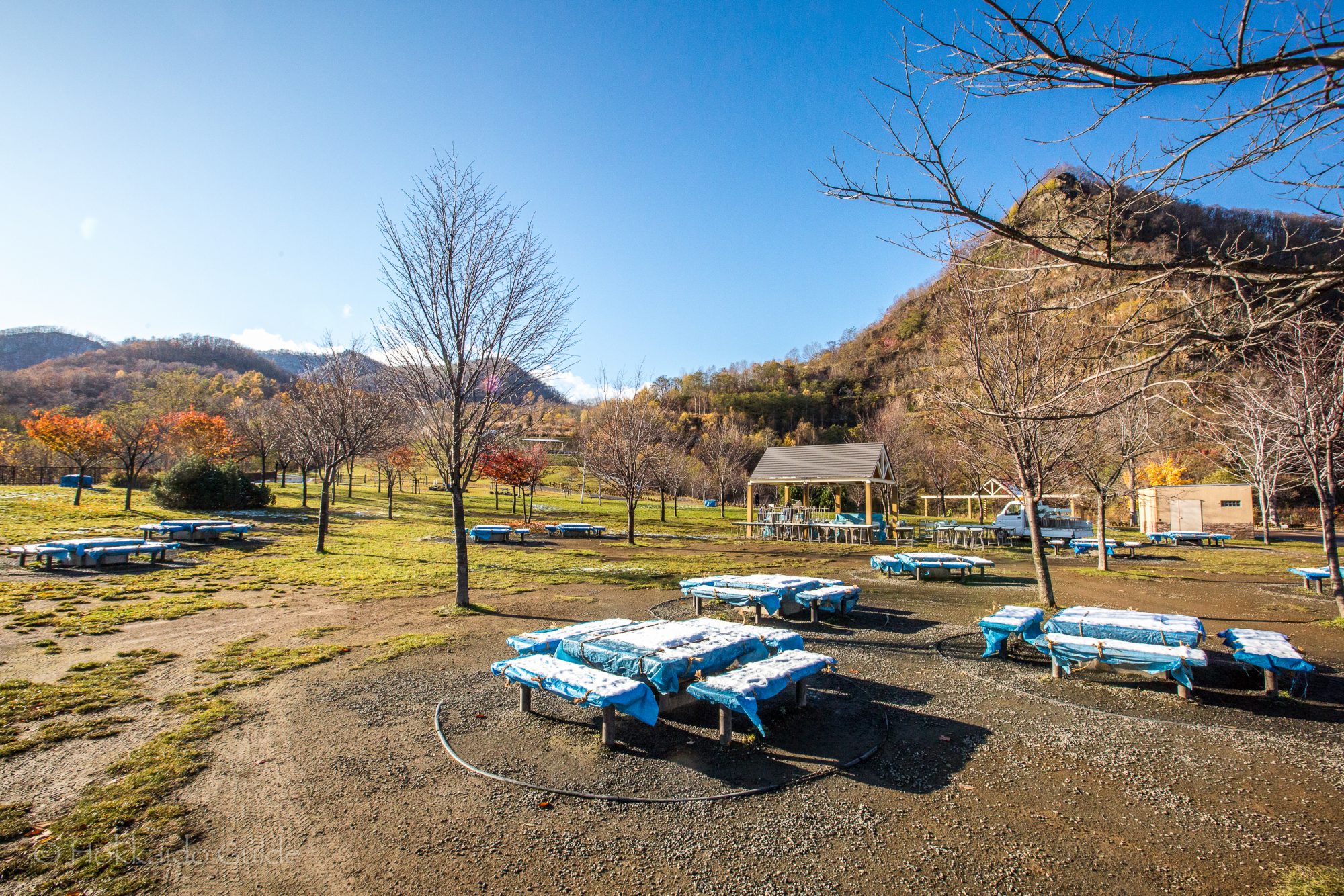
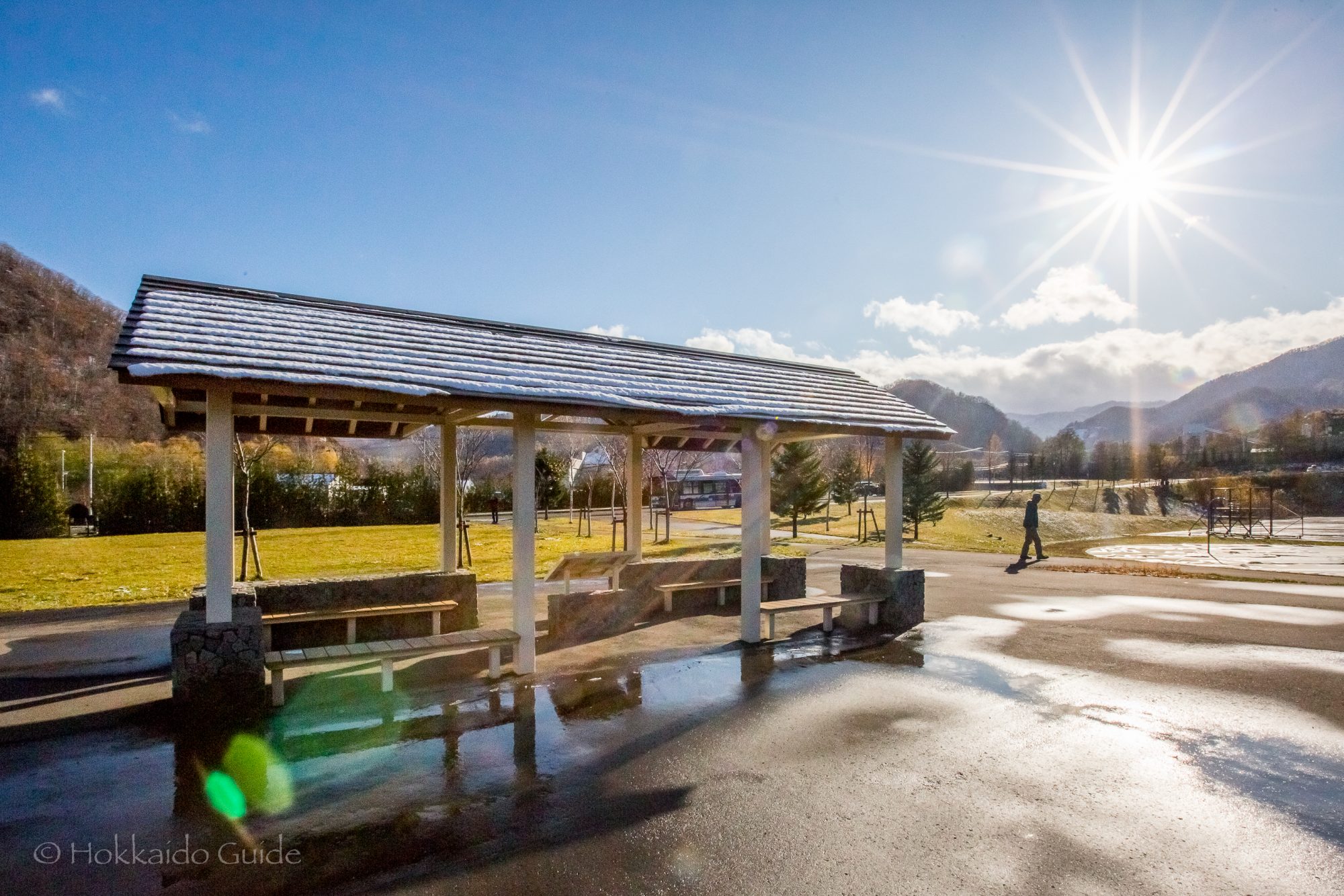
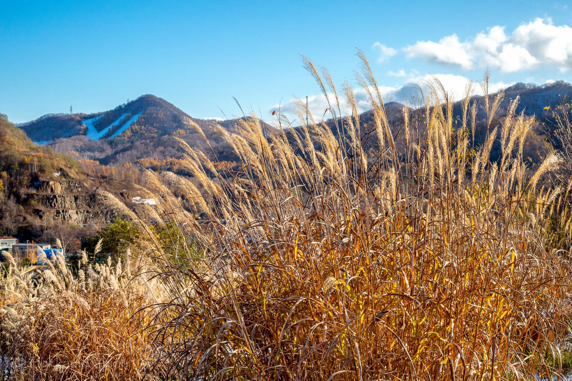
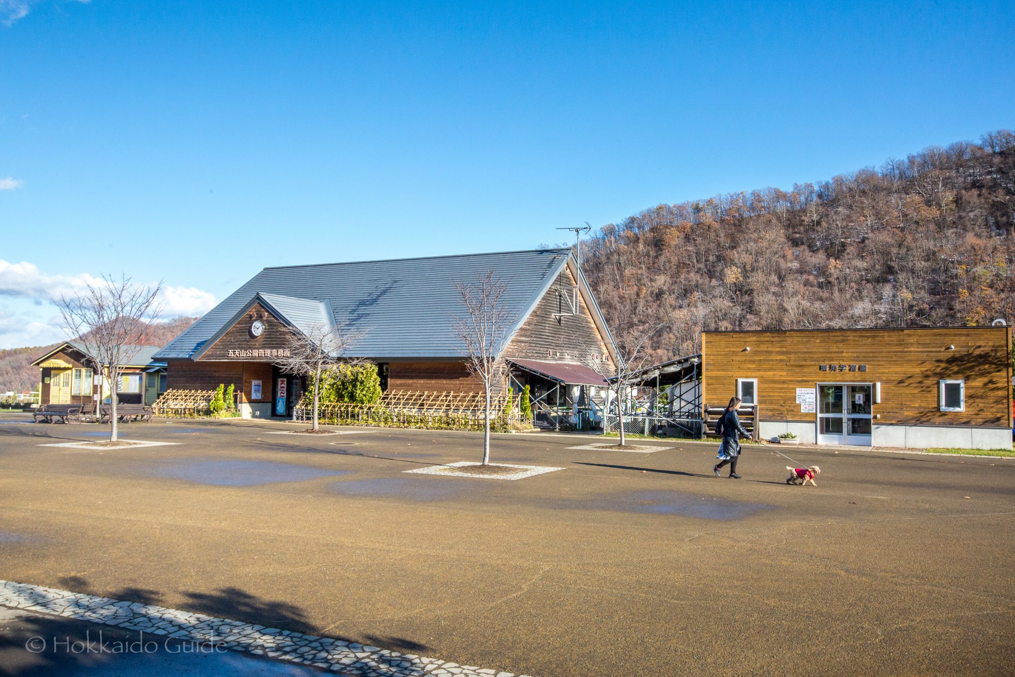
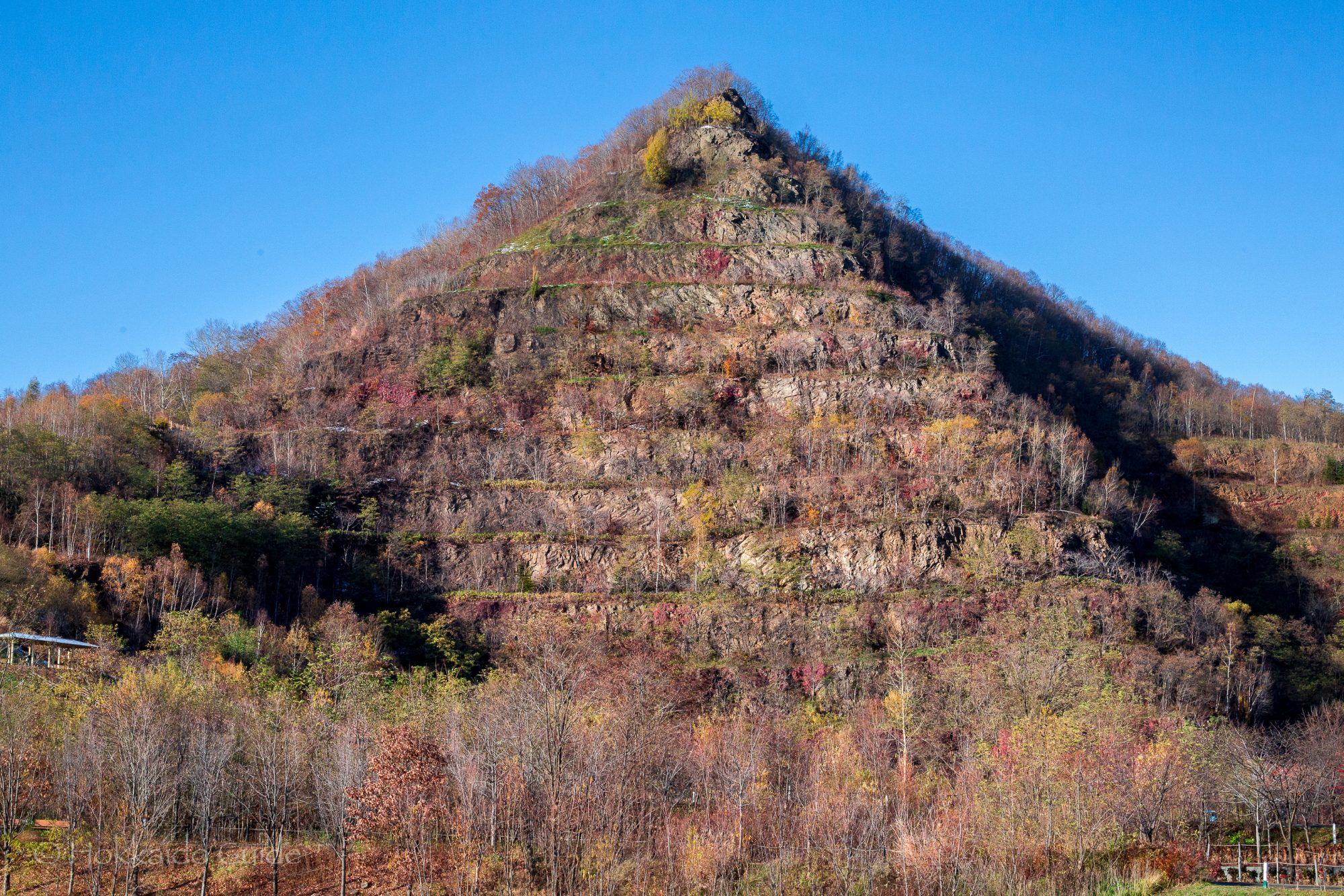
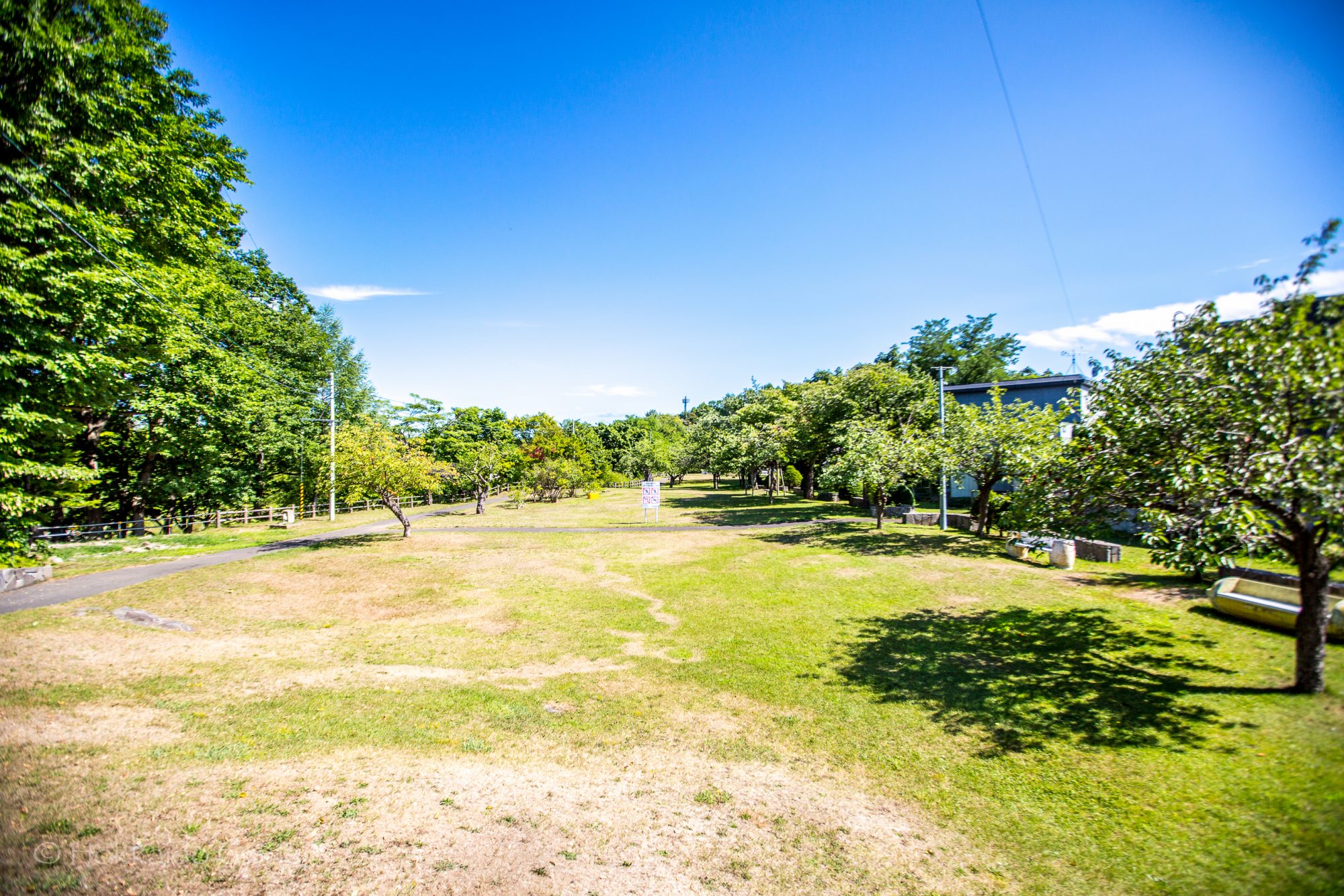
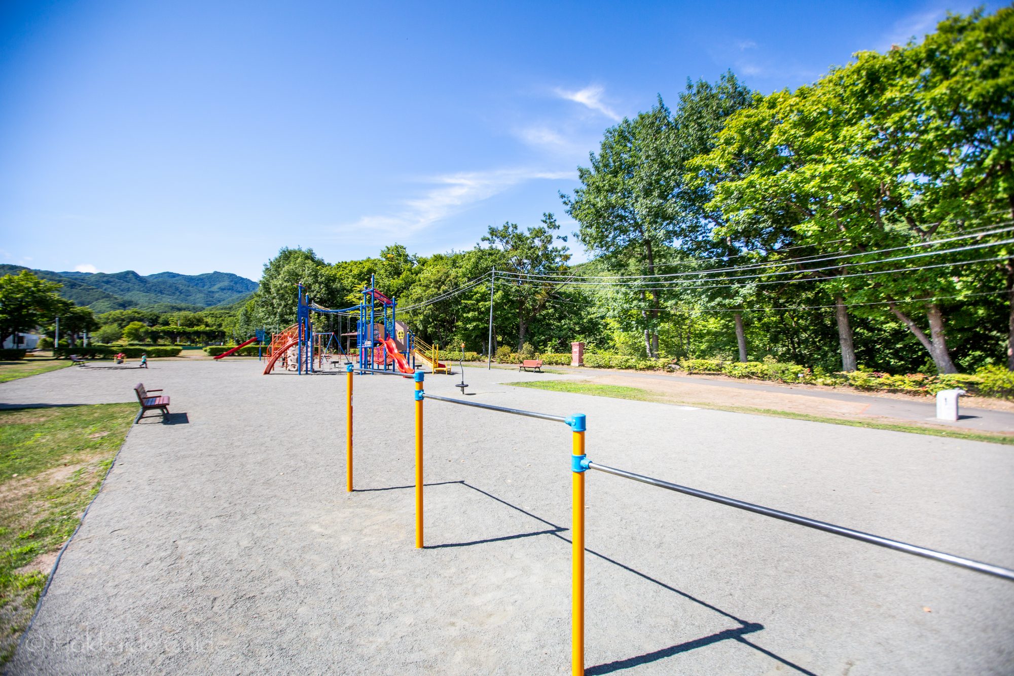
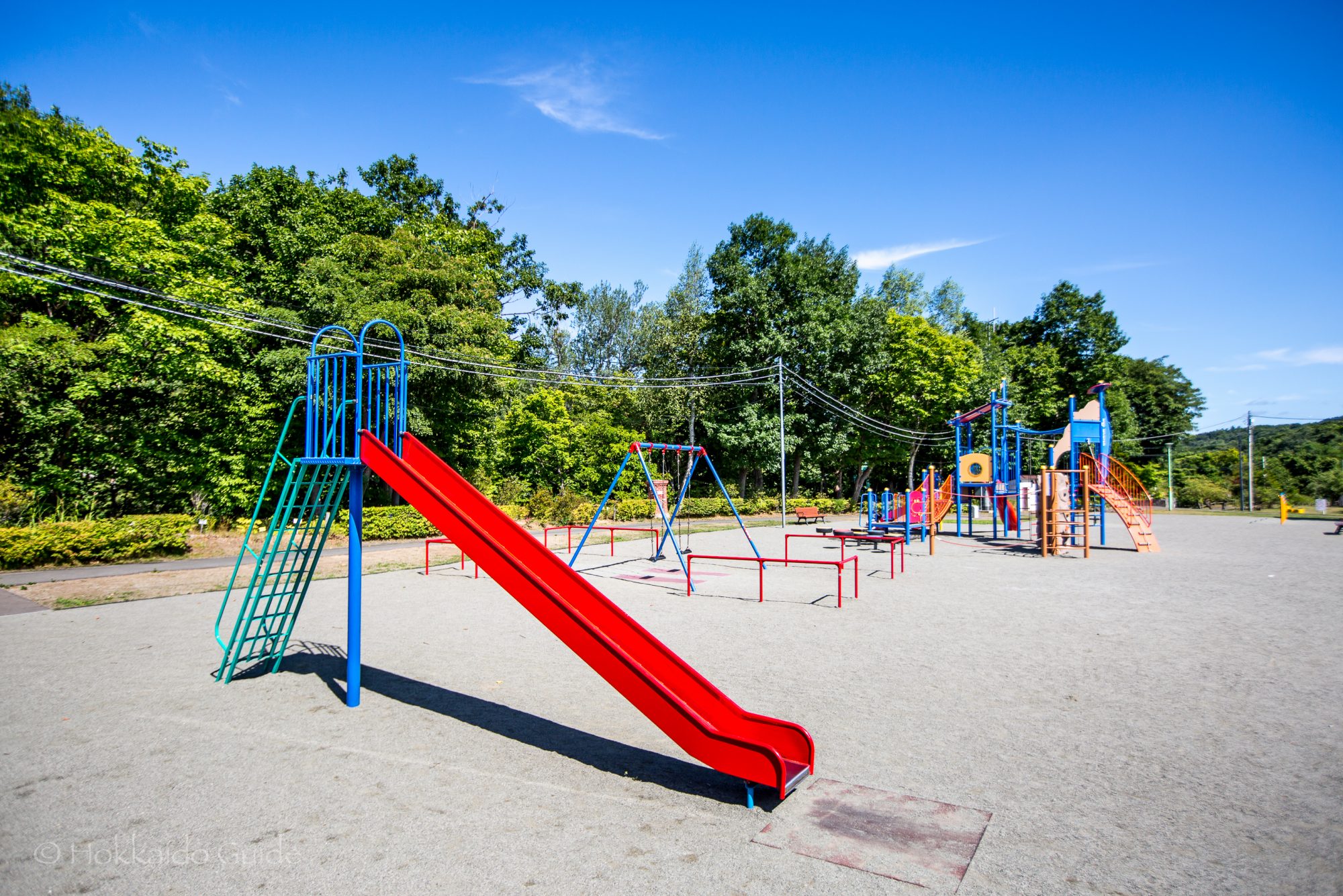
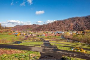 This large recreational space (which was originally an old quarry) can be found up in the mountains and was opened in 2009. The park was the first of its kind, found in the west ward of Sapporo. It is easily recognizable by its pyramid shaped mountain overlooking the whole area. The park has BBQ cooking huts for use (enquire at the office), plus a playground for the kids, a ball game space for football and basketball, and a 27 hole park golf course on the grounds. During the summer, there are fireflies that converge at the ‘firefly waterway’ which also has a restored windmill running.
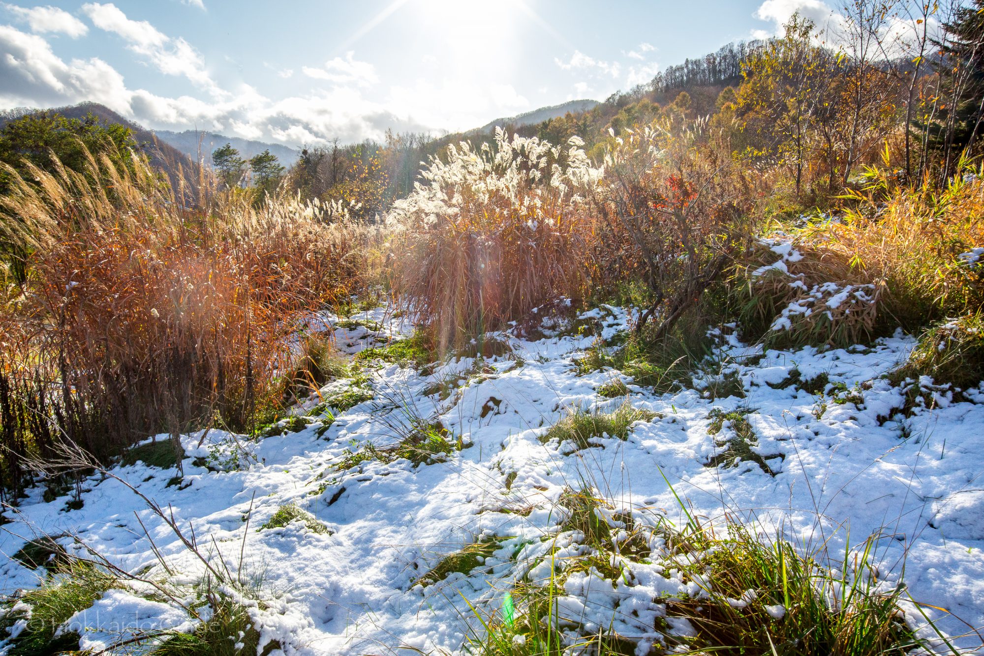
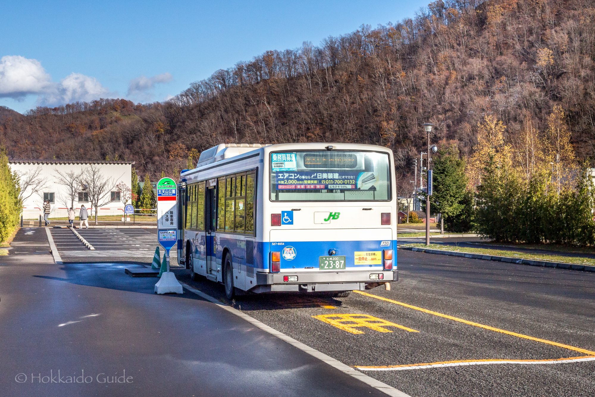
 If you want to stretch your legs even further, take a walk up to Mt. Goten which has two viewing platforms. The springtime is especially popular for its beautiful flowers. Even though this large recreational space is up in the mountains it is actually not that far from central Sapporo. It is about a twenty minute drive from central Sapporo. The road winds its way west up through the mountains until you reach the park of Gotenzan. Take advantage of the ample free parking here, that has enough space for 550 vehicles! For those without access to a vehicle, you can take the bus up from Kotoni station in Sapporo.
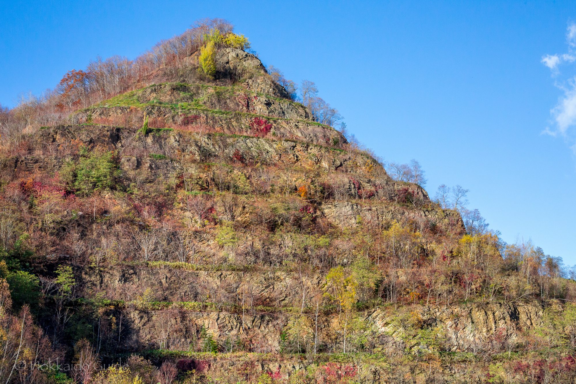


 Along
Along 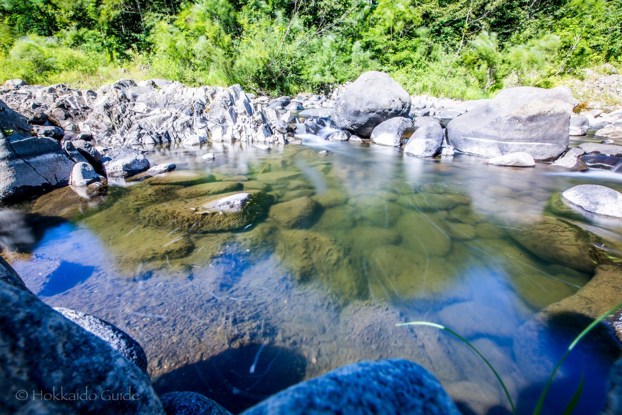
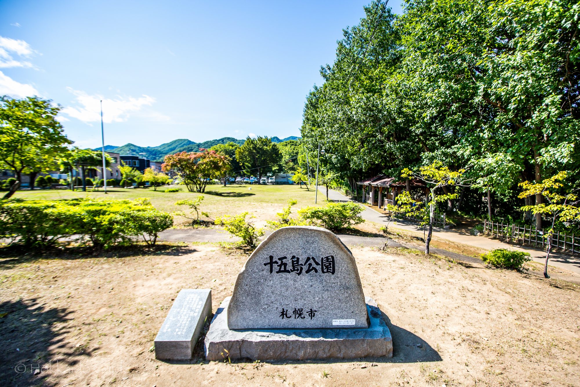
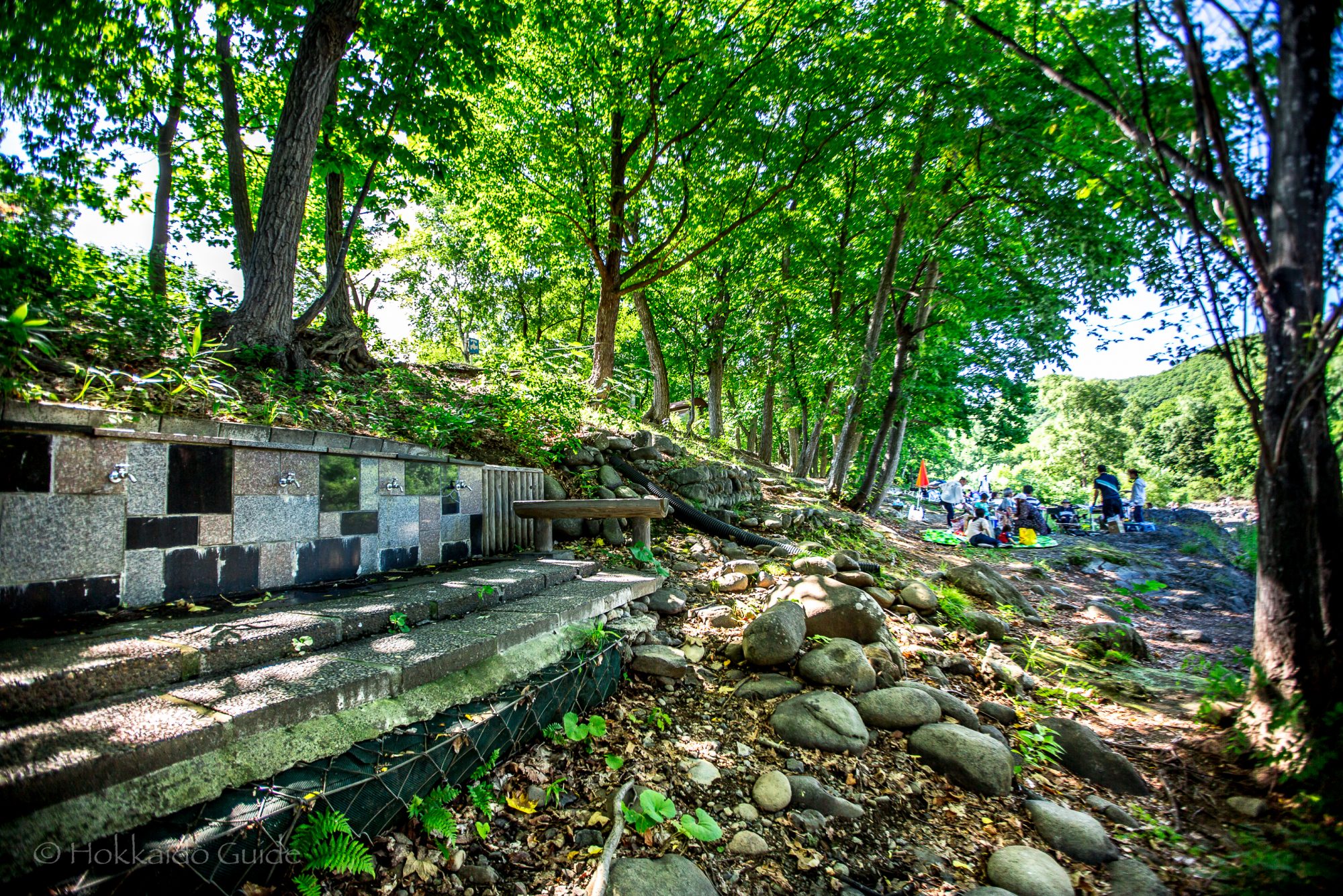
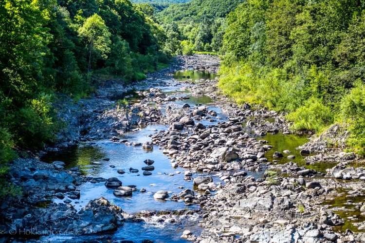
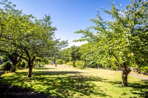
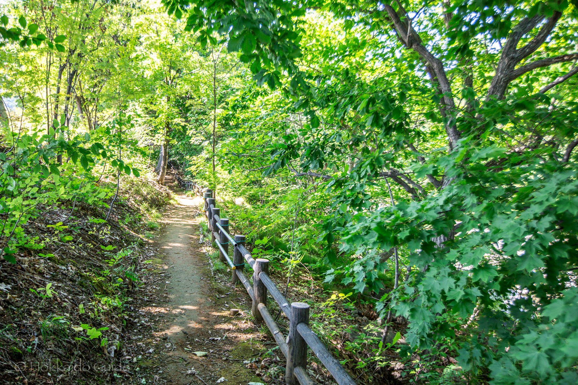
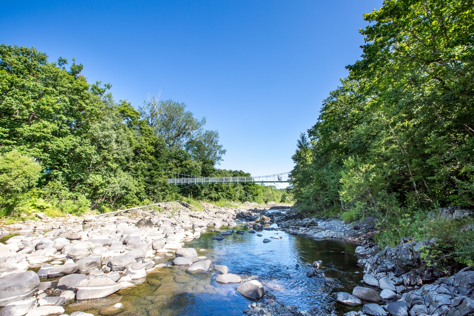
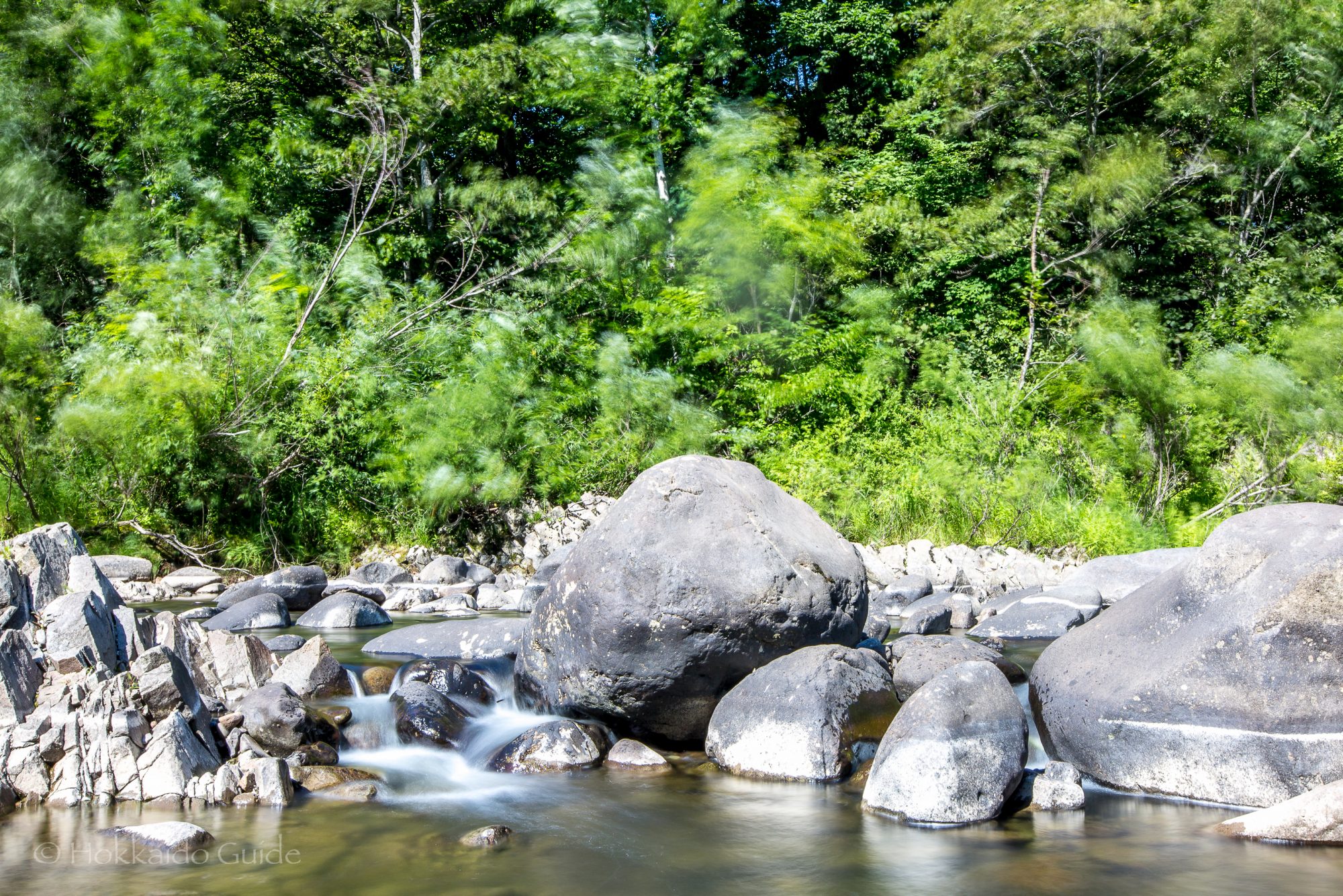
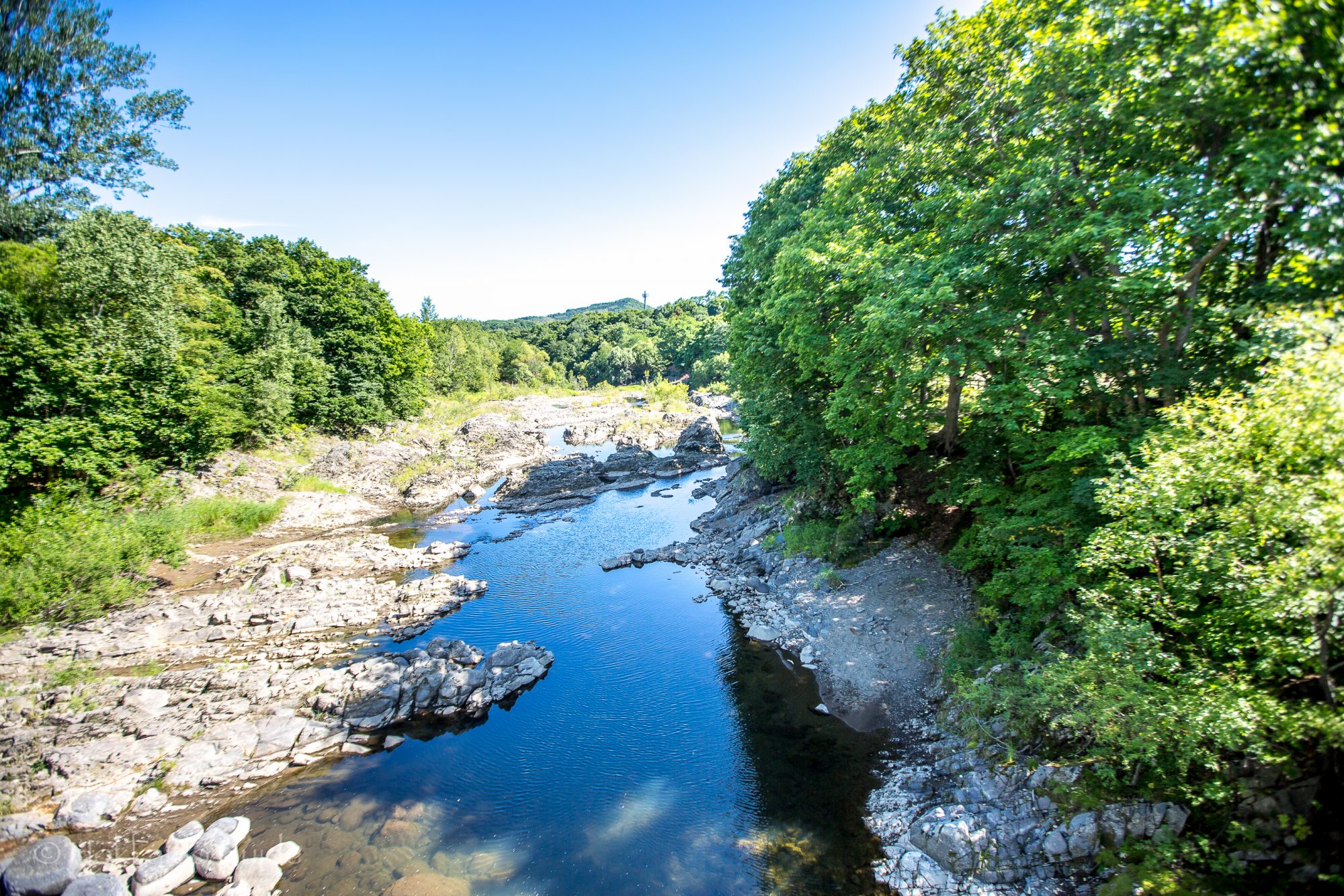
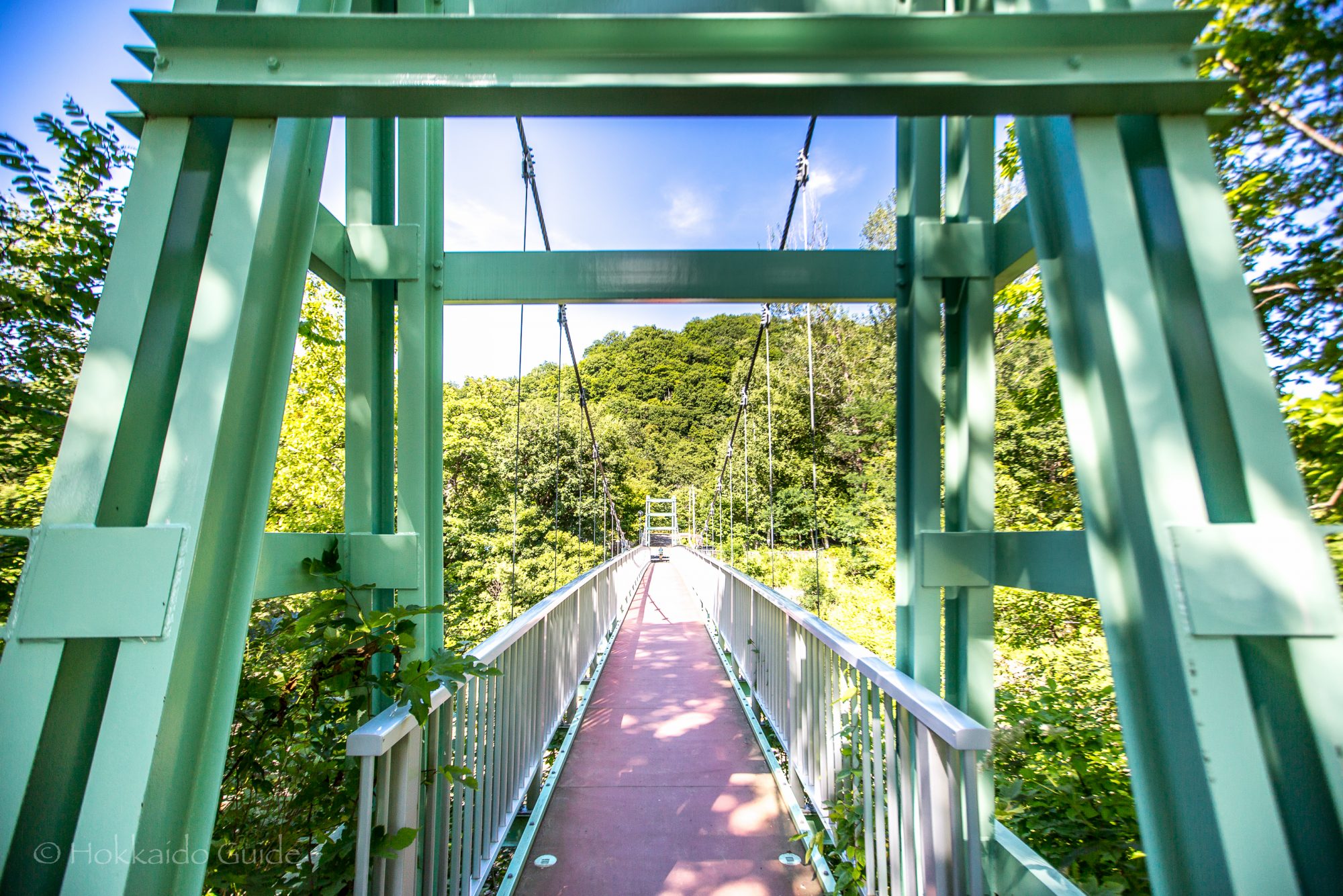
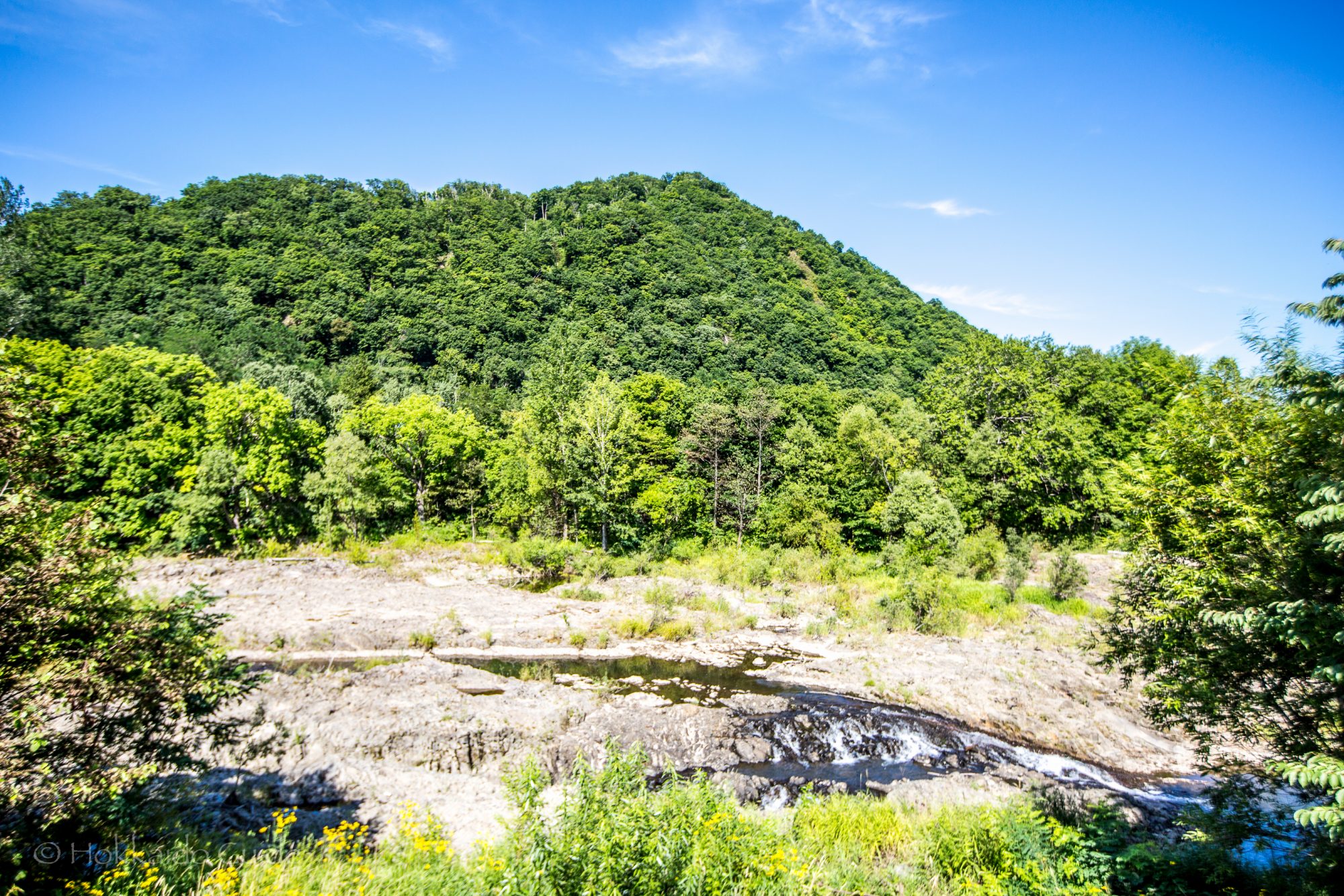
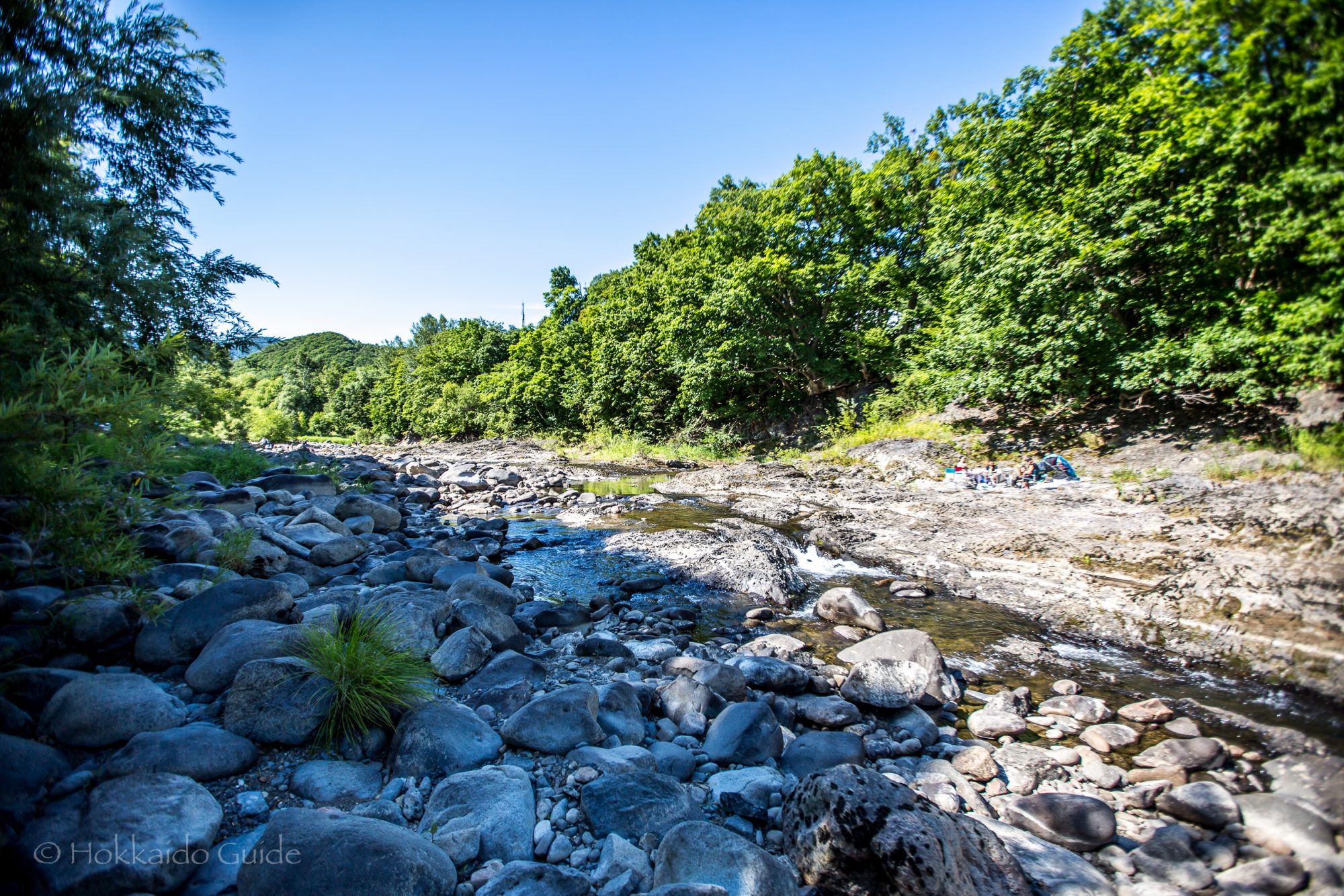
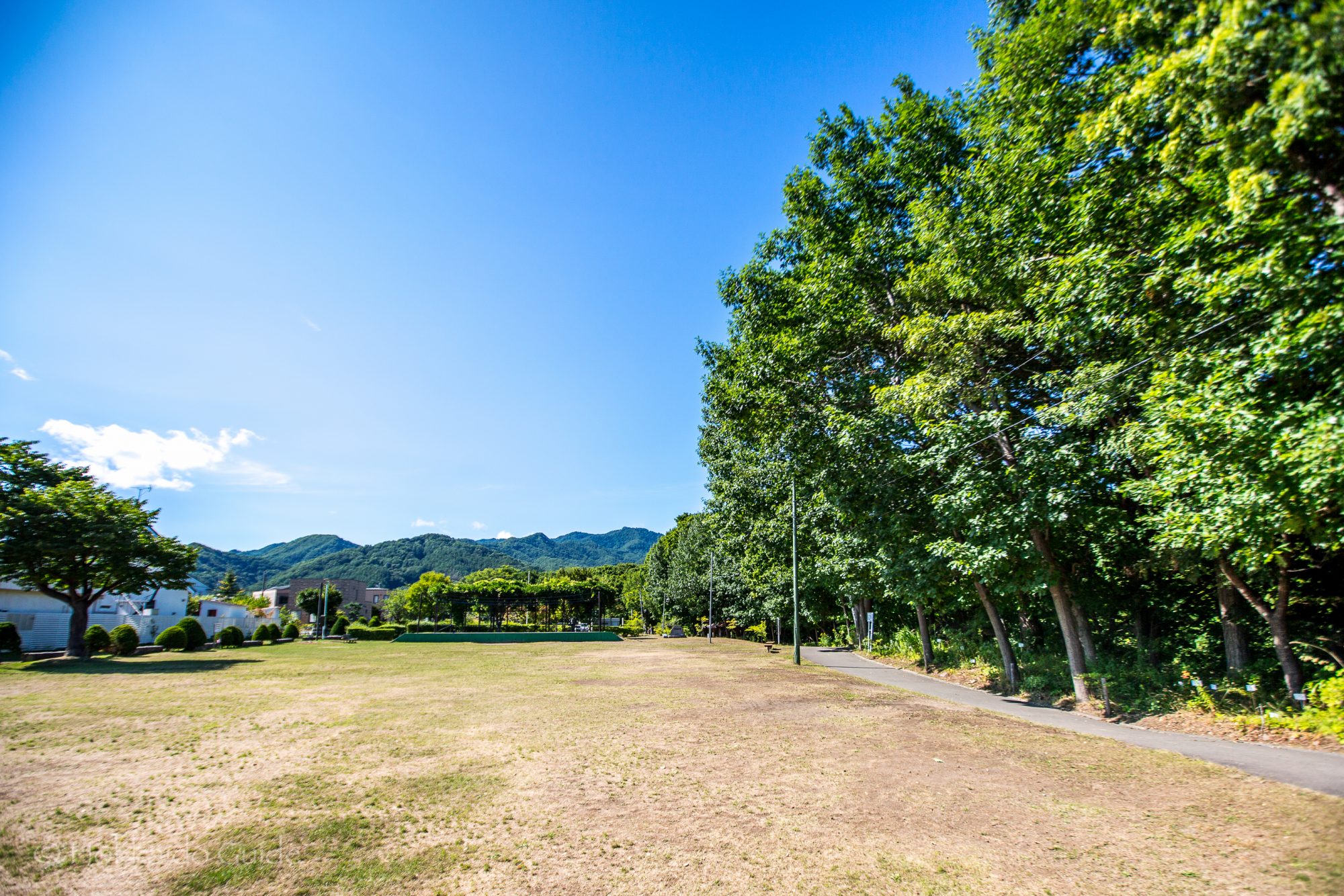
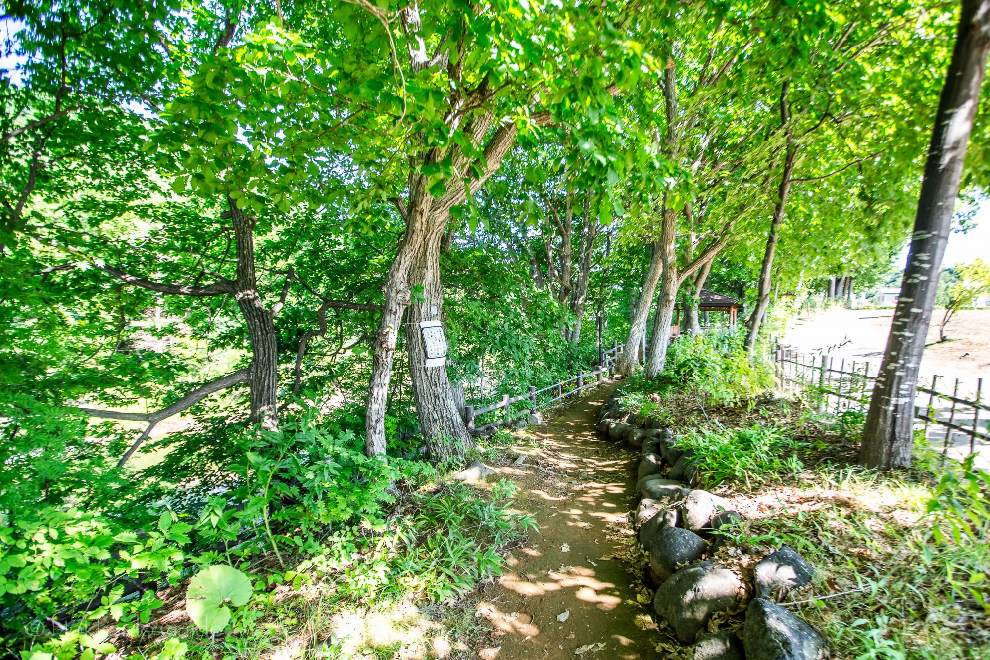
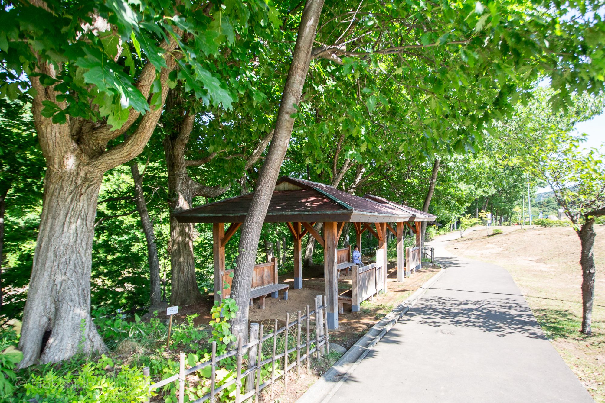
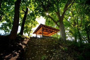 The park is not only popular during the summer months, but during the spring you can see cherry blossoms here! And during the autumn, the leaves turn to beautiful shades of red and gold and this a great spot to get some stunning photos. There are walking paths to wander and enjoy the scenery. The park has covered rest areas as well to stop and take a break. For those with kids, the park has a playground as well as the river which is the perfect size to explore the rick pools and streams. With plenty of parking, Jugoshima Park is a nice spot to check out!
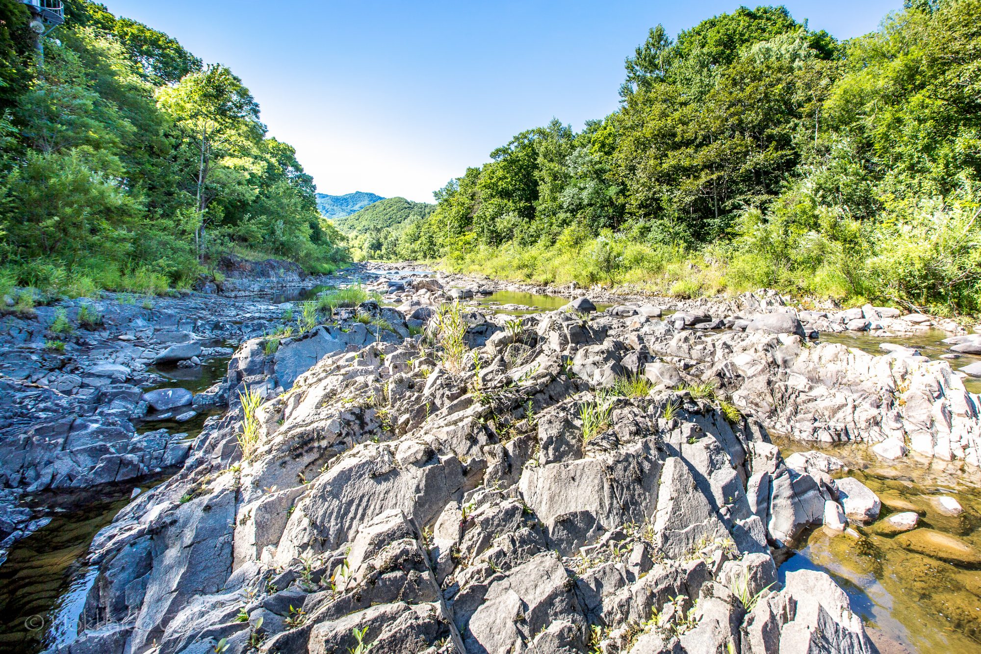
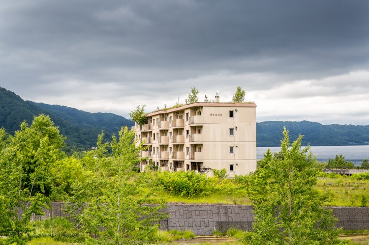

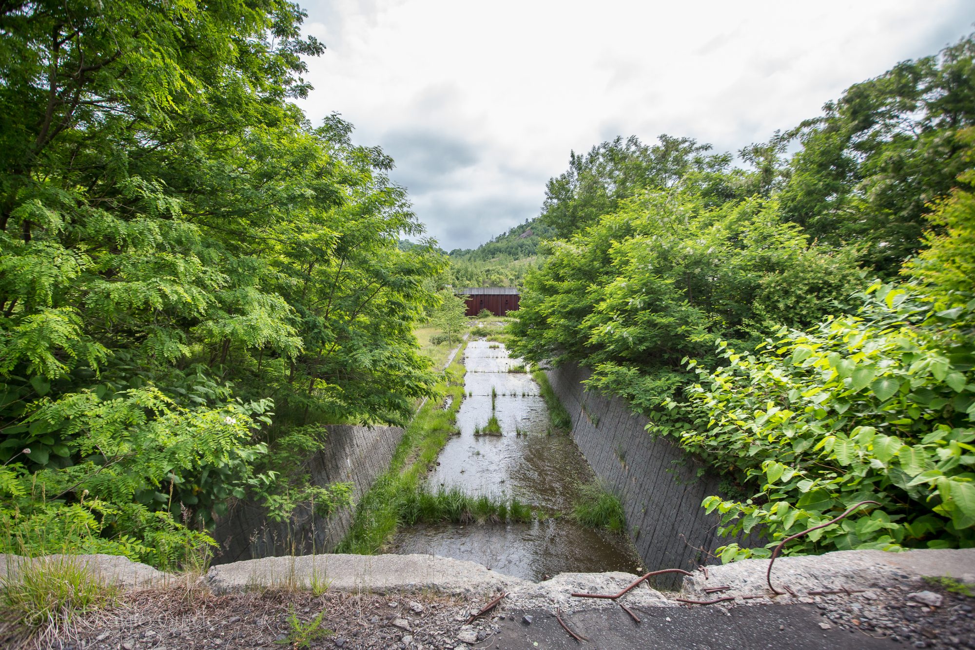
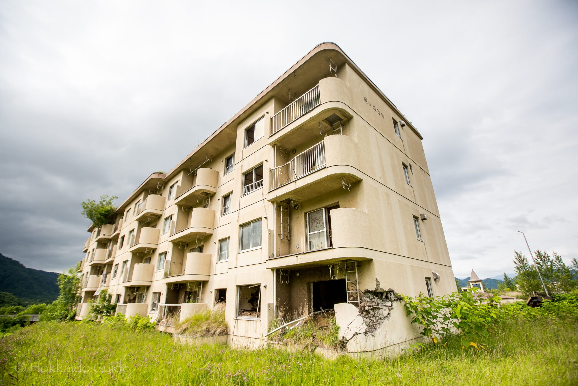
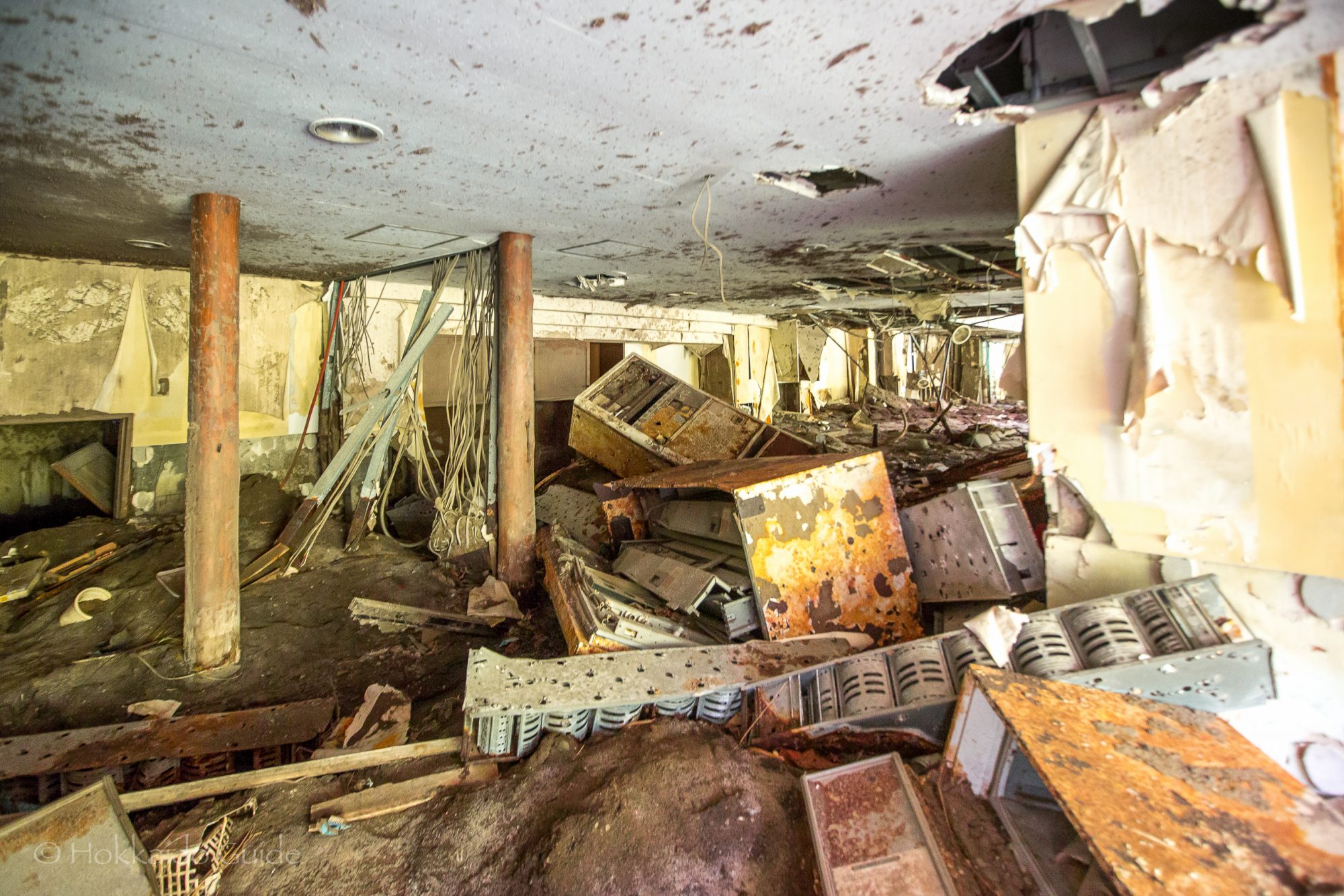
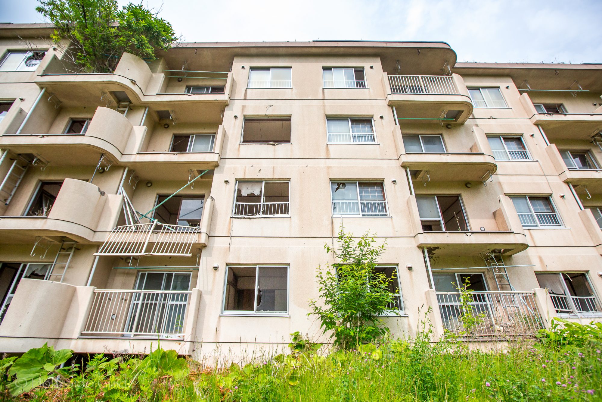
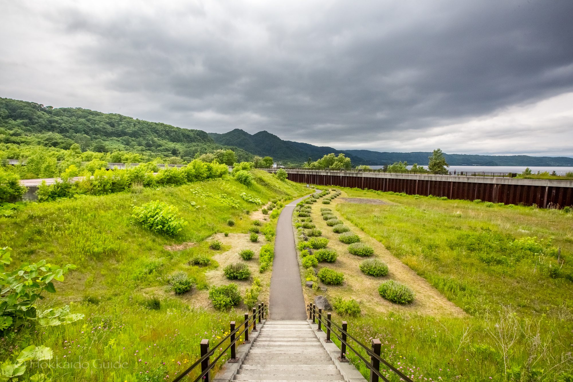
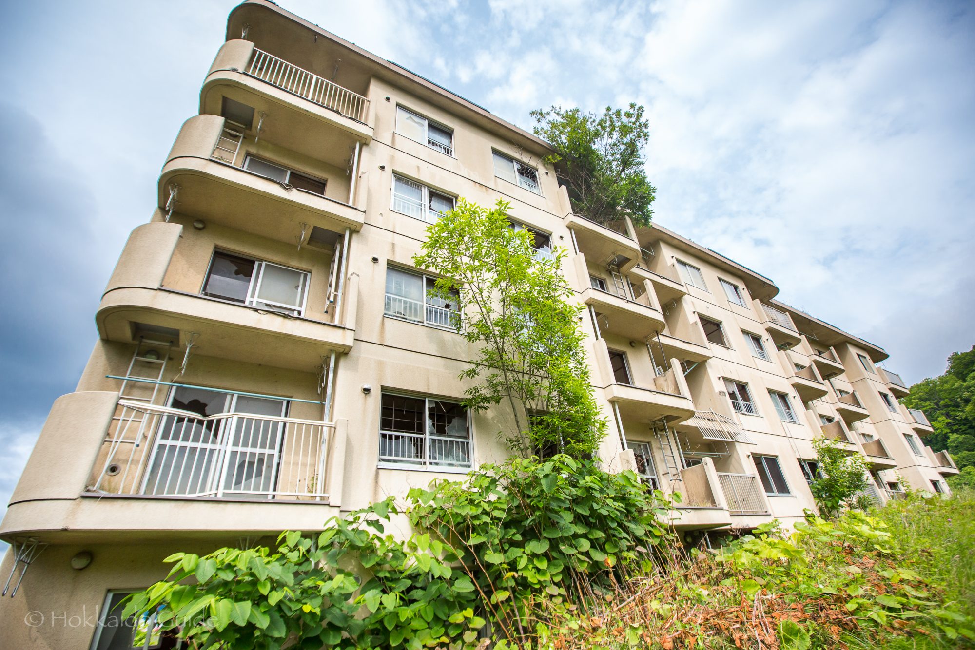
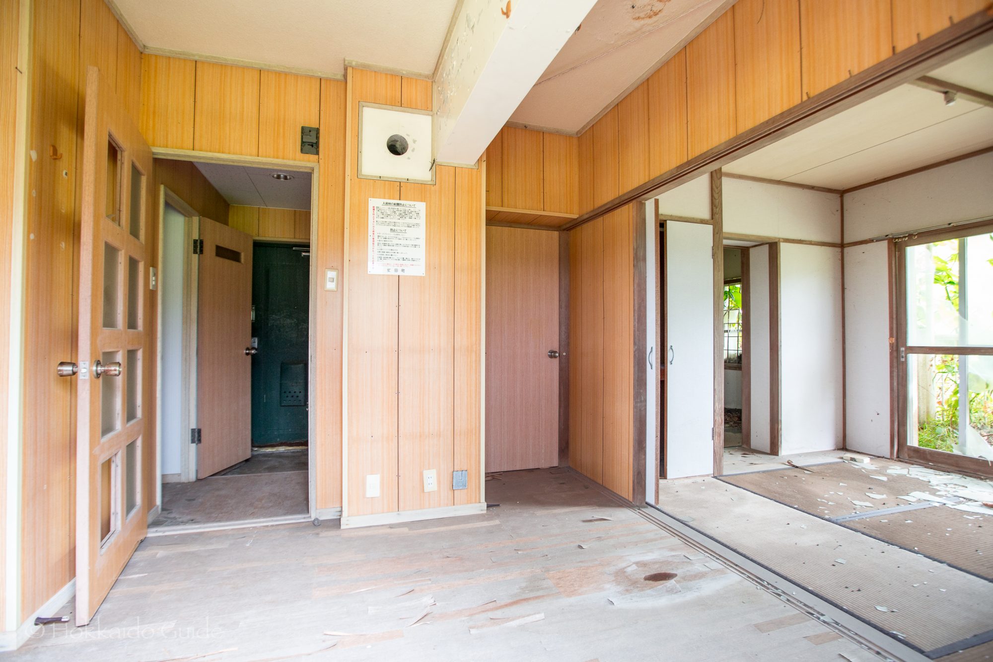
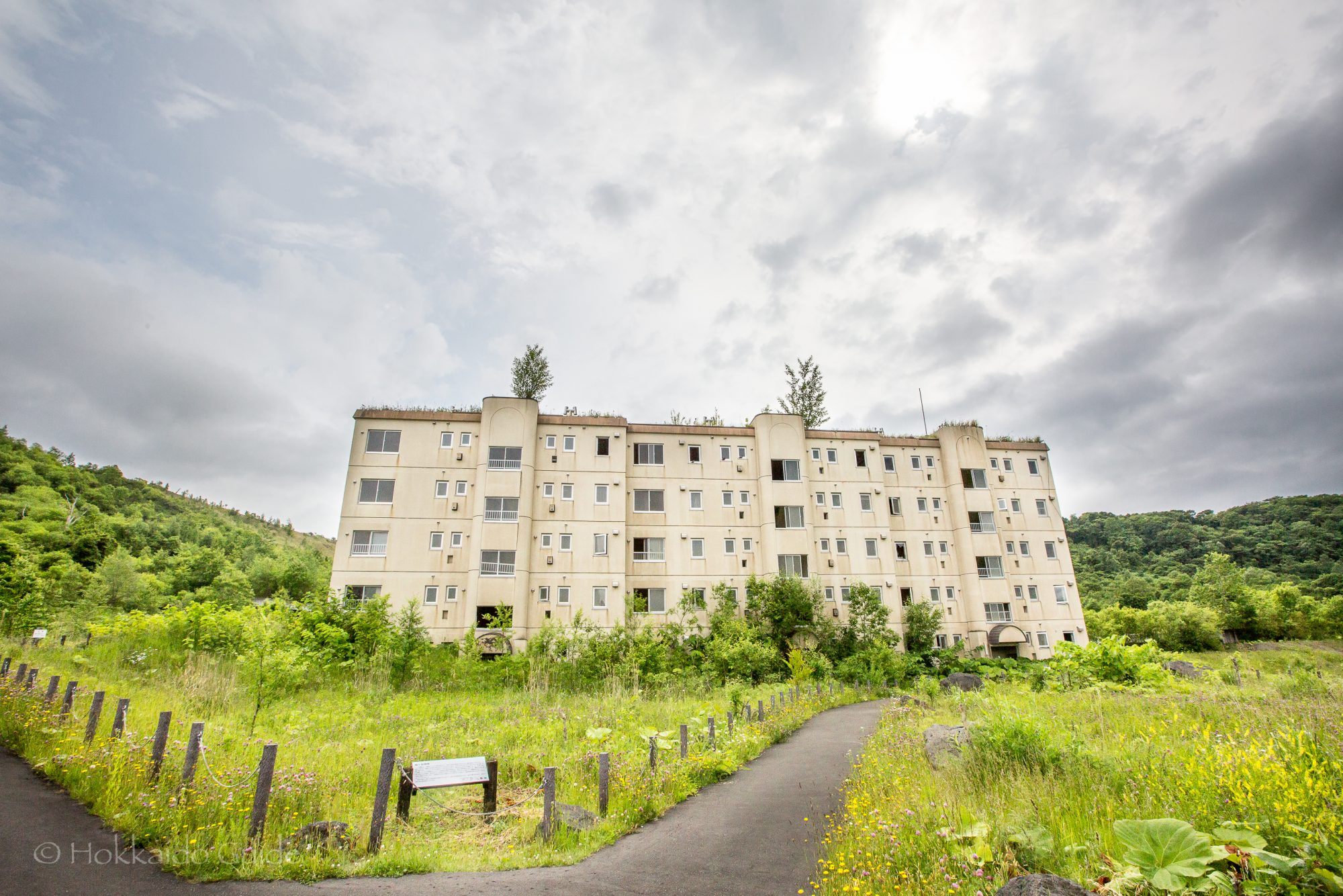
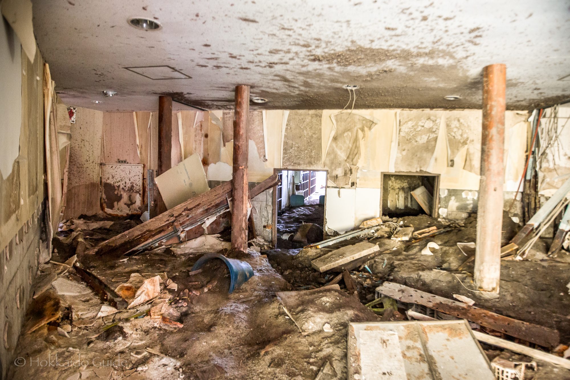
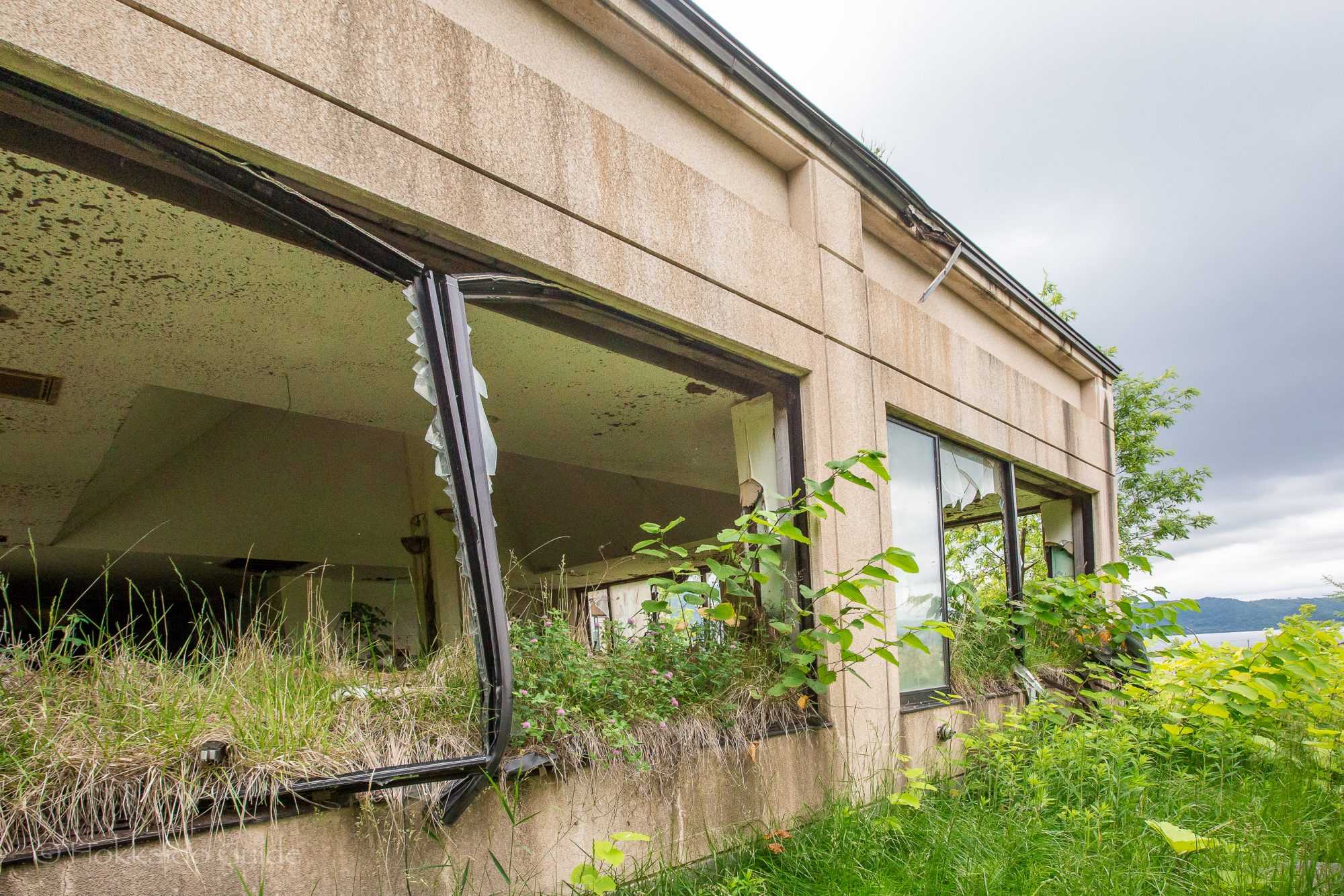
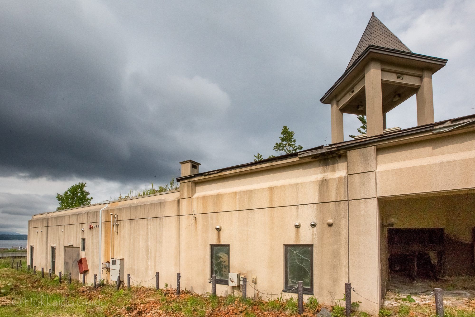
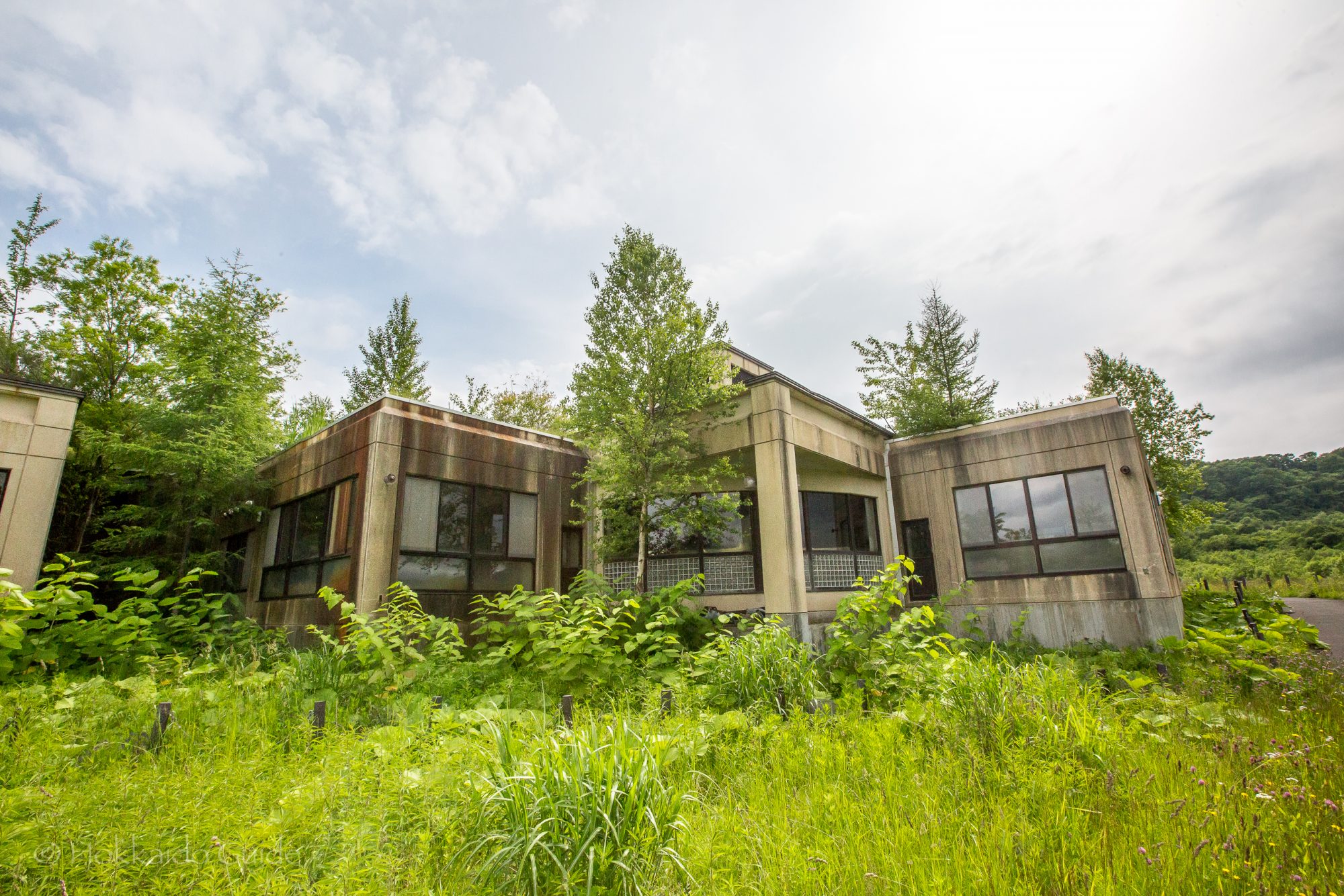
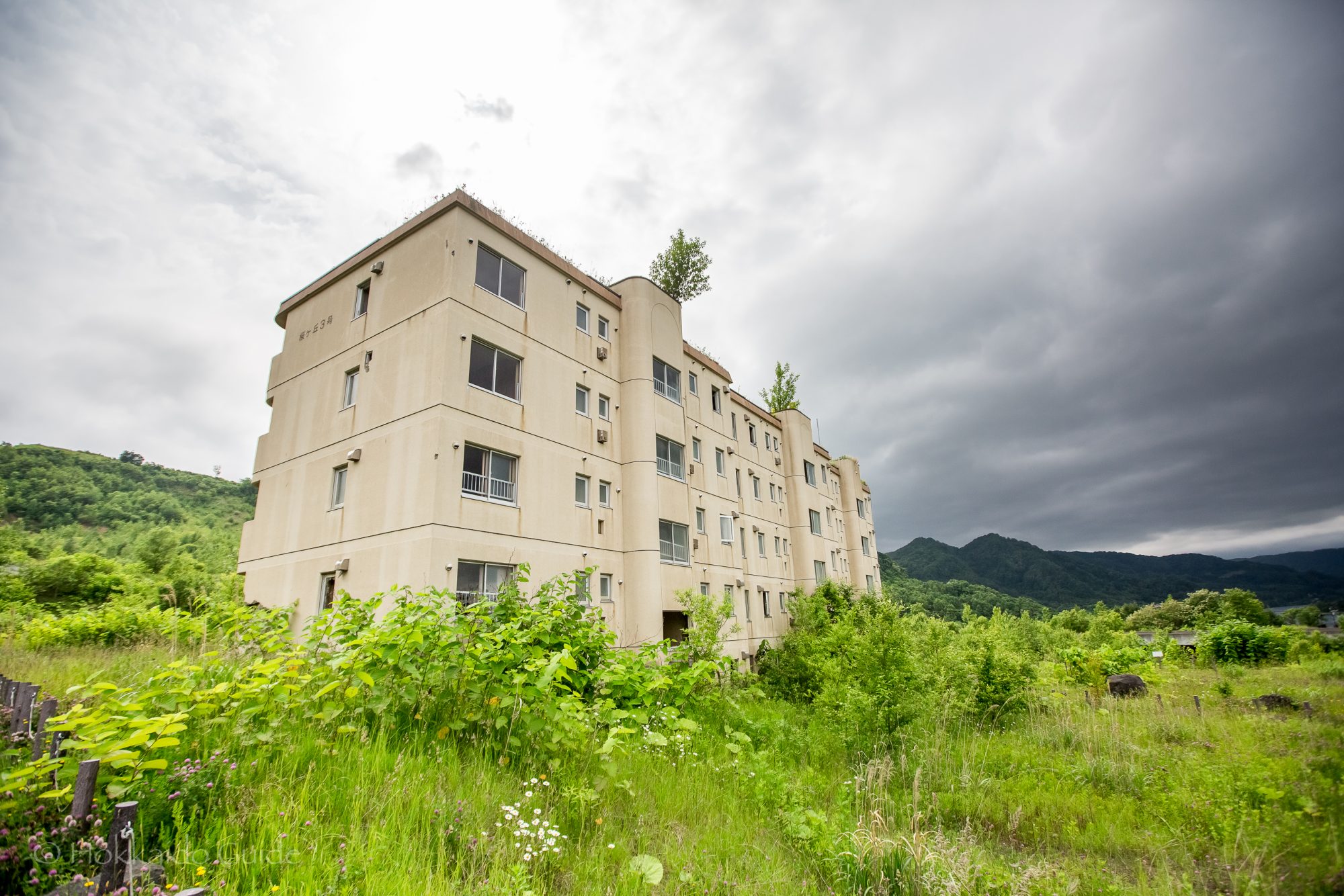
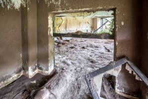 On March 27, 2000 Lake Toya was hit by volcanic activity and a number of large earthquakes causing some fault lines and the evacuation of the local residents. 4 days later,
 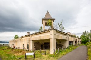 The outcome included the destruction of 234 homes and damage to a further 217. Fortunately, due to the evacuations there were no casualties. These buildings are fascinating to walk around and to peer into past events. In the quiet of the countryside, they serve as a spooky reminder to the power of mother nature. The path to the building ruins is easy to follow and it is recommended to follow it further up to the