Yuni Togakushi Shrine
Posted on
Yuni Togakushi Shrine is a small rural Shinto shrine located in the Furusan district of Yuni, Hokkaido. Although little is known about its exact origins, it is believed to have been established during Hokkaido's settlement period Read More ....


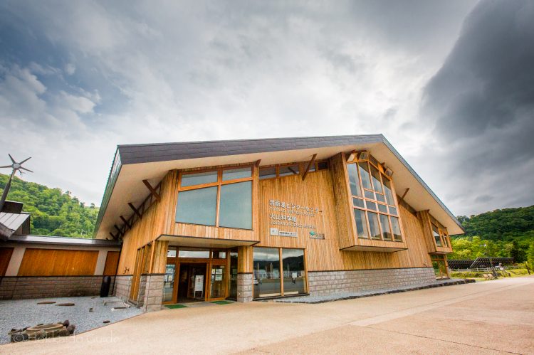

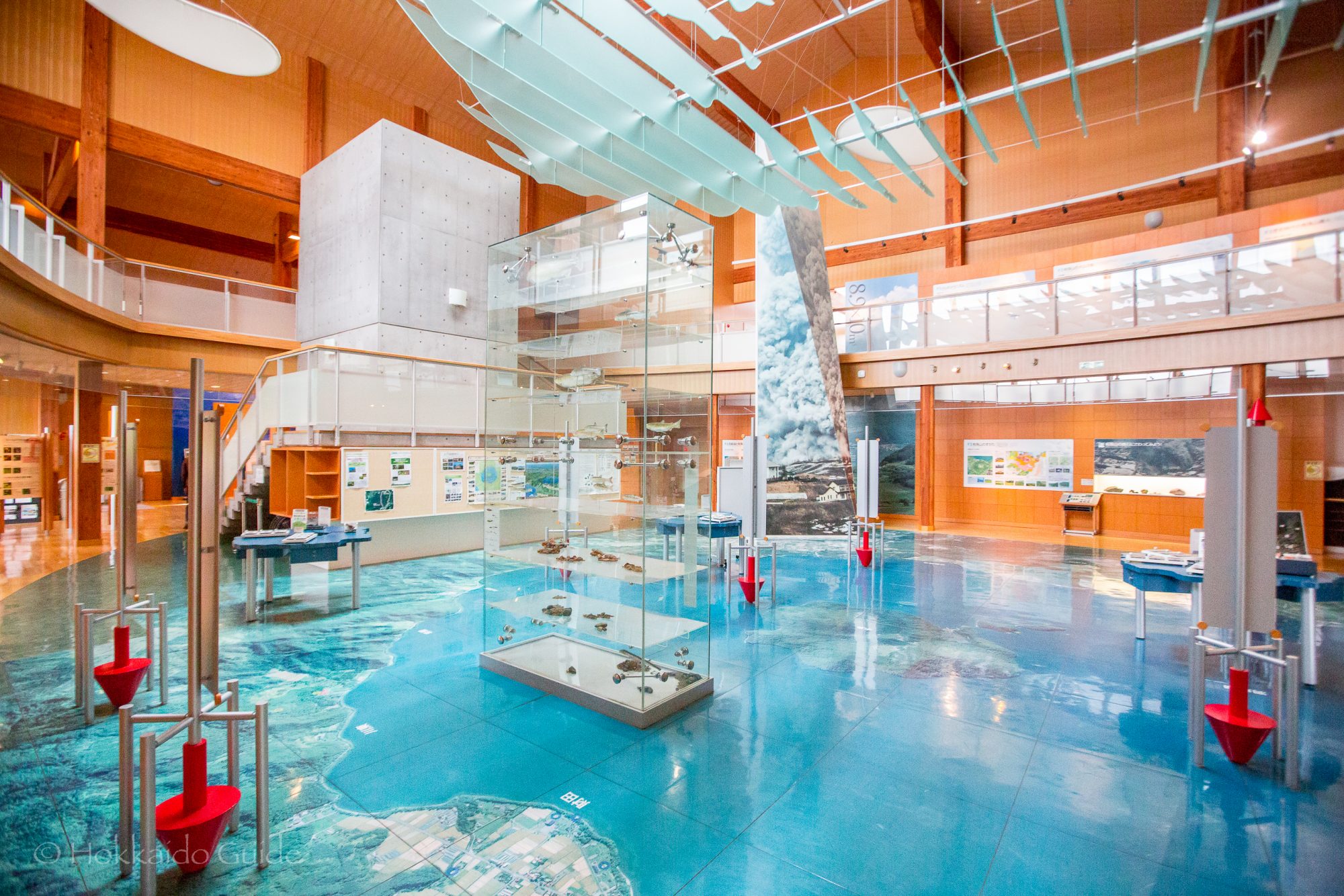
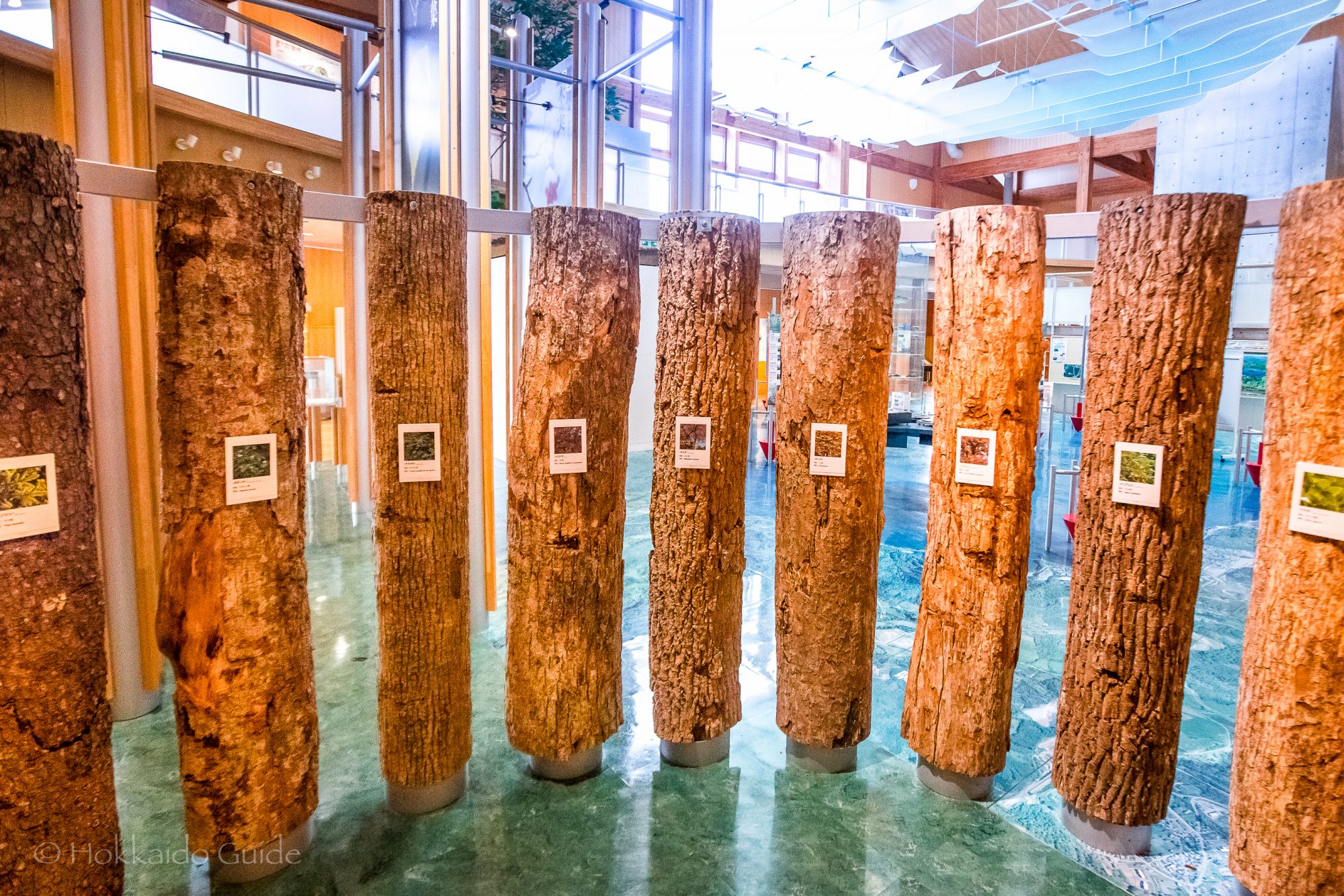
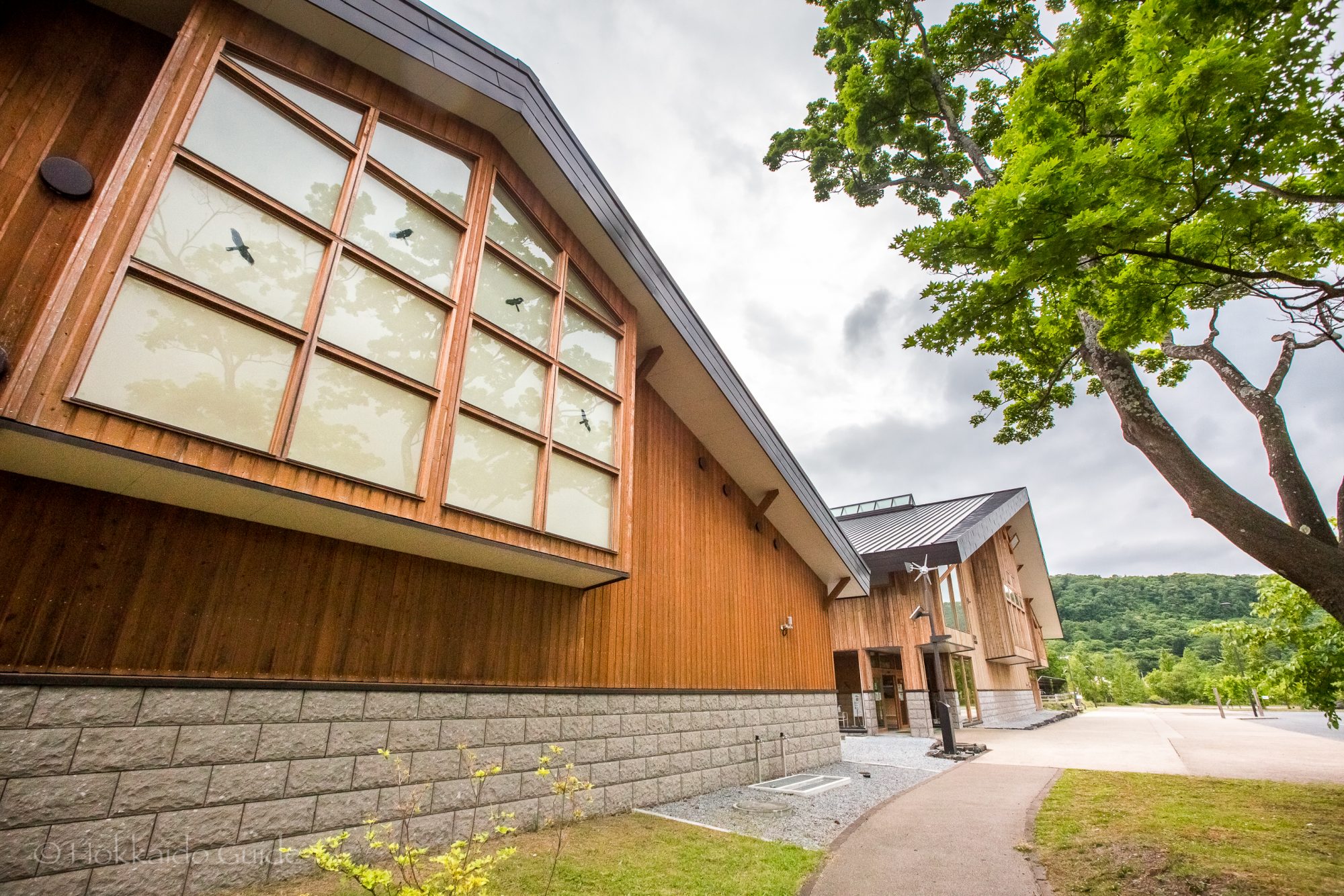
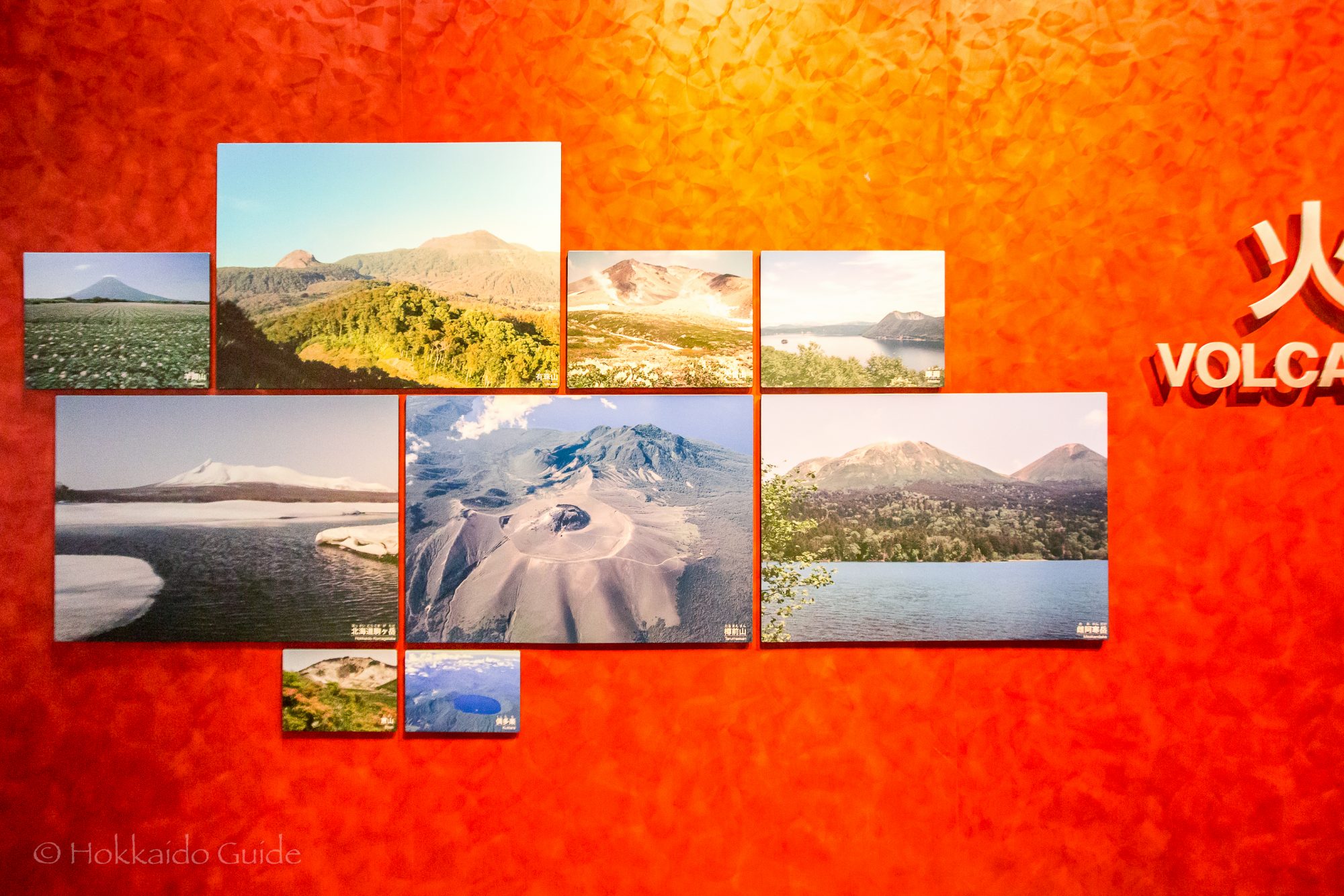
 The Toyako Visitor center is a beautifully designed building that was established in May of 2007. The facility was made by the Ministry of the Environment. It is an information center that focuses on the environment and the interesting biodiversity of Lake Toya. Through exhibitions and displays, the facility helps visitors get in touch with the area, and introducing various eco-museum projects. There is also a fantastic Volcano Museum inside, which looks at the volcanic activity of the area, both past and present!
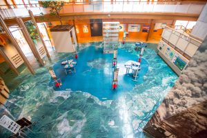
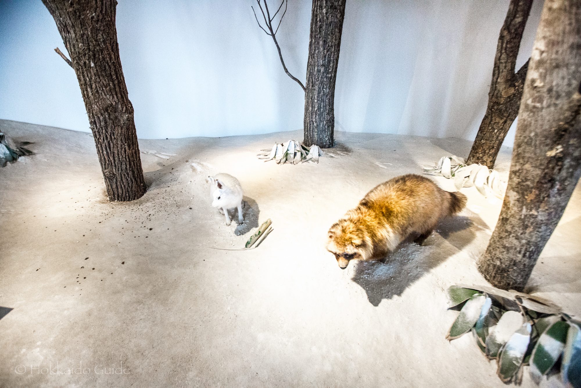
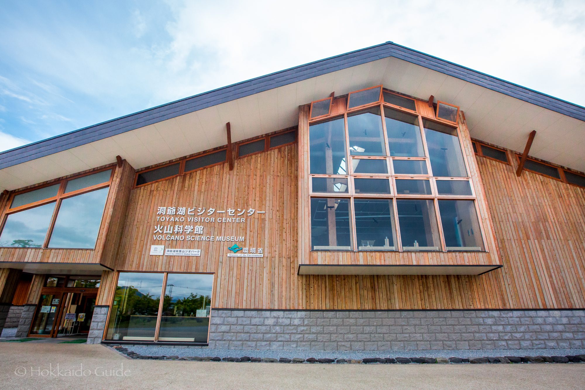
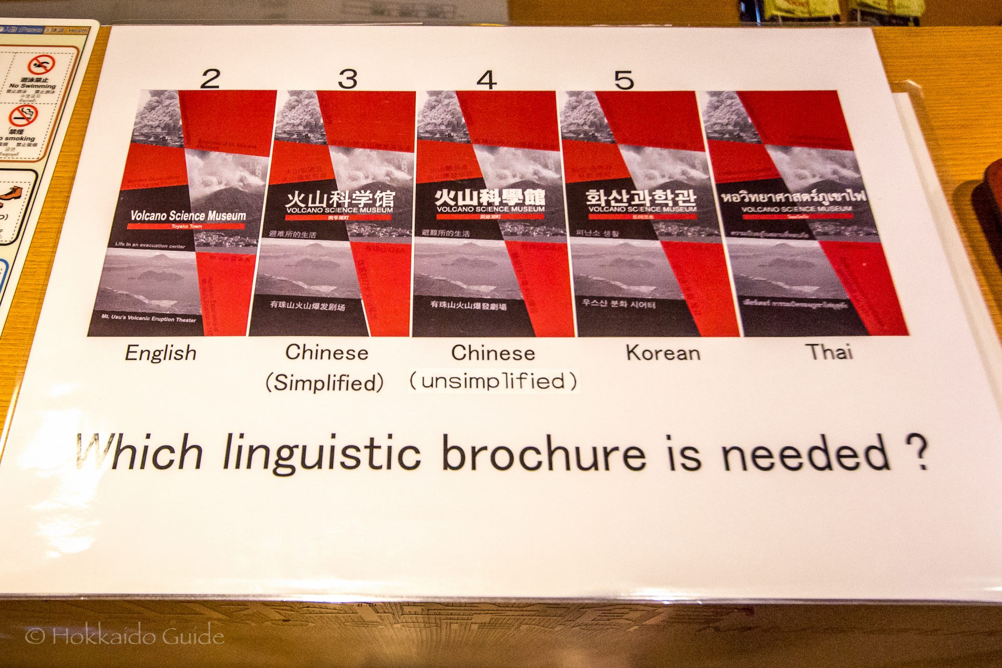
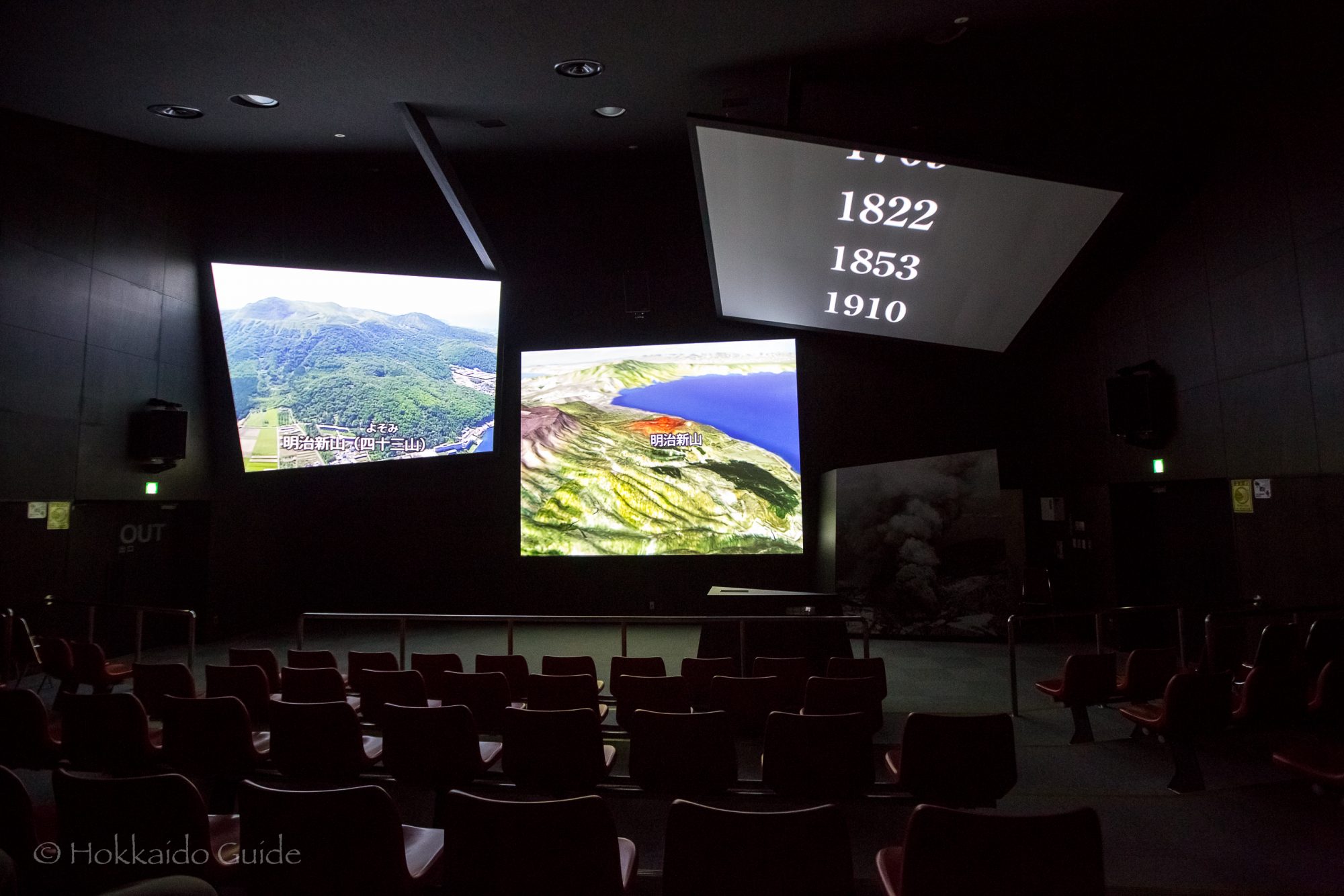
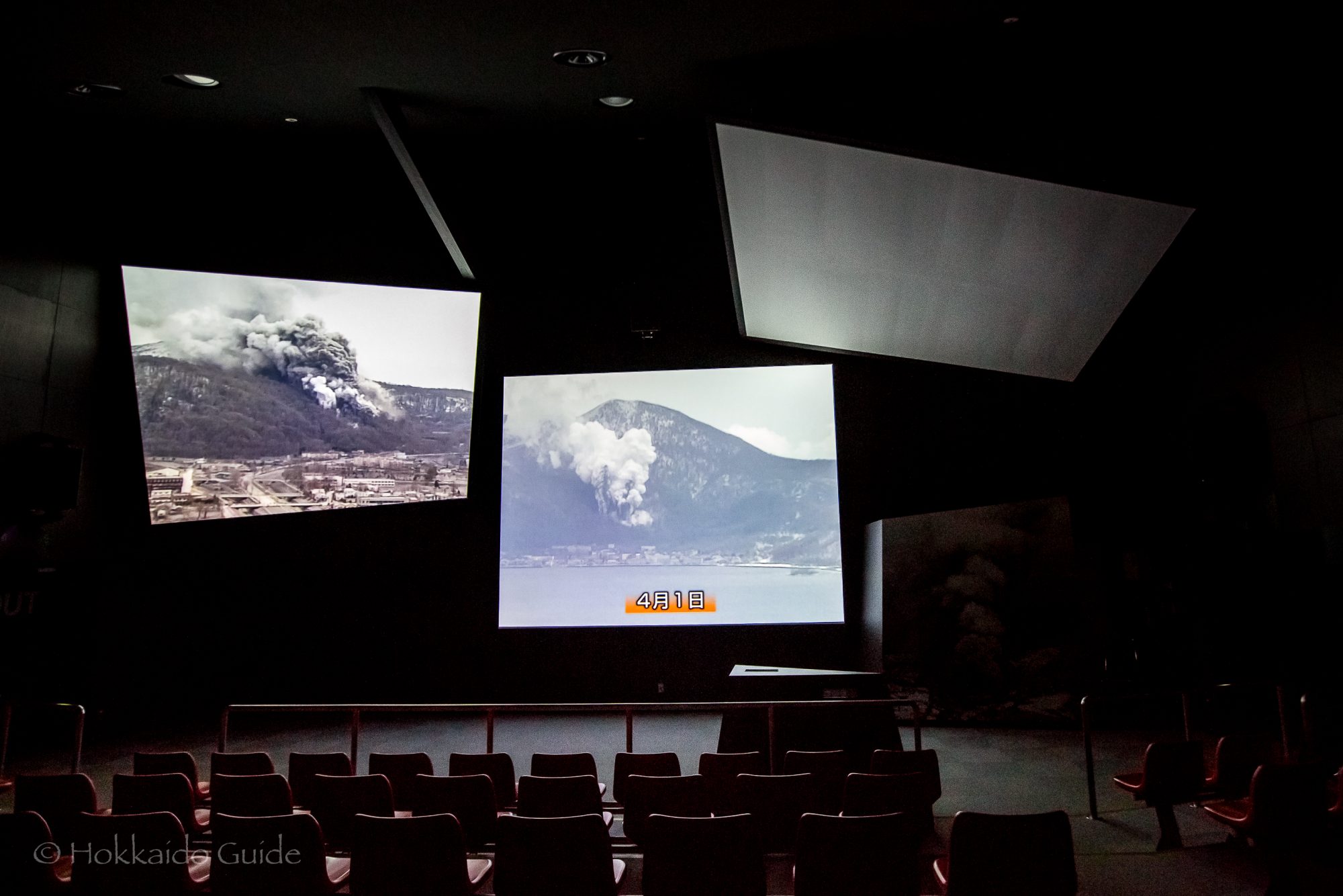
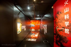 The volcanic science museum can be found at the Toyako Visitor Center. It is an interesting small museum that focuses on the eruptions at Lake Toya that occurred in 1977, and in 2000. Through exhibitions, and experience devices you can get a real feel for the impact of these volcanic eruptions, and introduces the history of Mount Usu. There is a theatre inside which is fascinating and definitely worth a visit. The 13 minute documentary delves into the eruptions with sound and visuals which leave a strong impact. The audio device has translations into English, Korean, Chinese, and Thai.
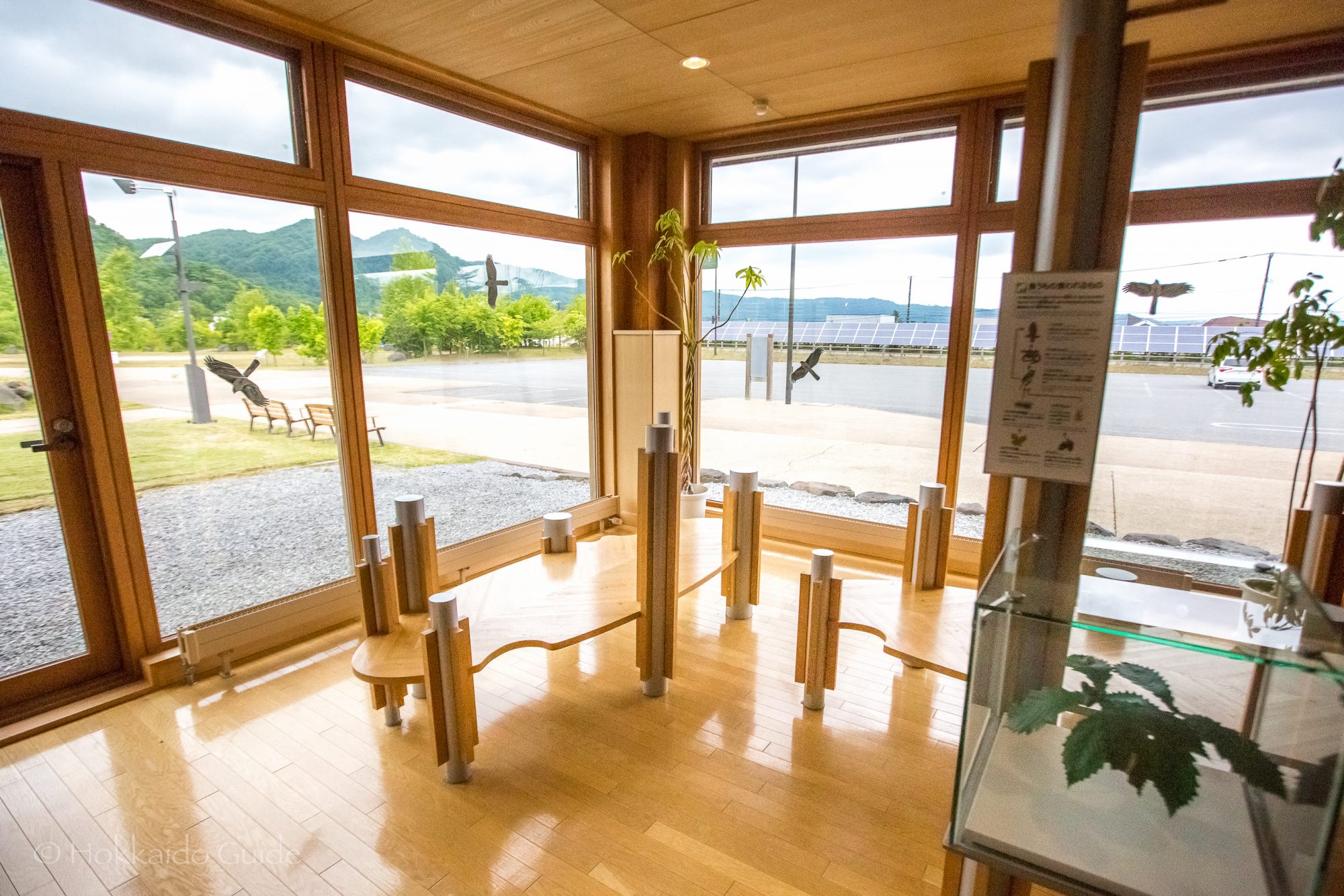
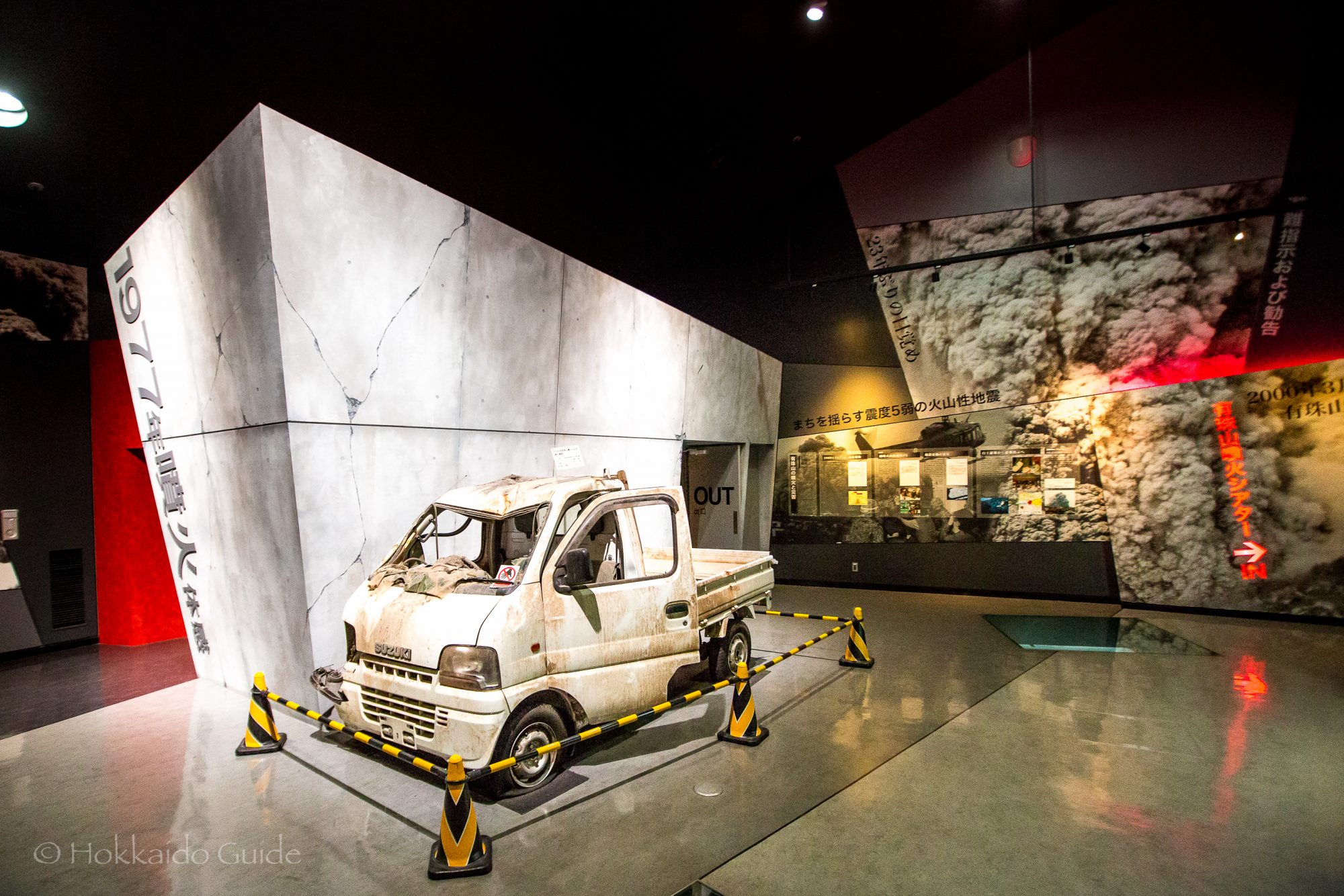
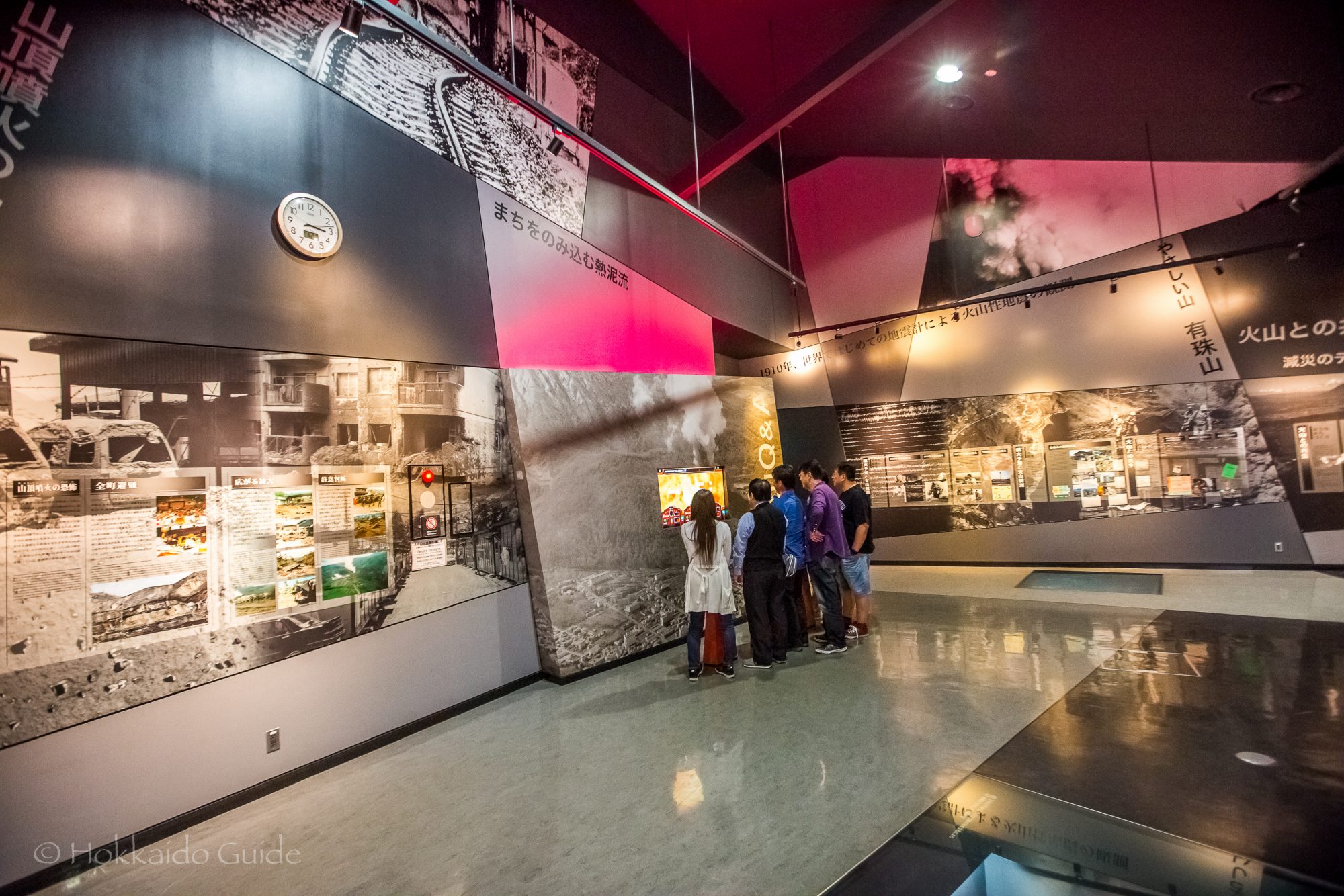
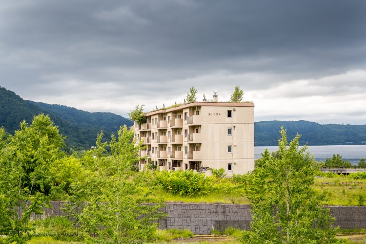

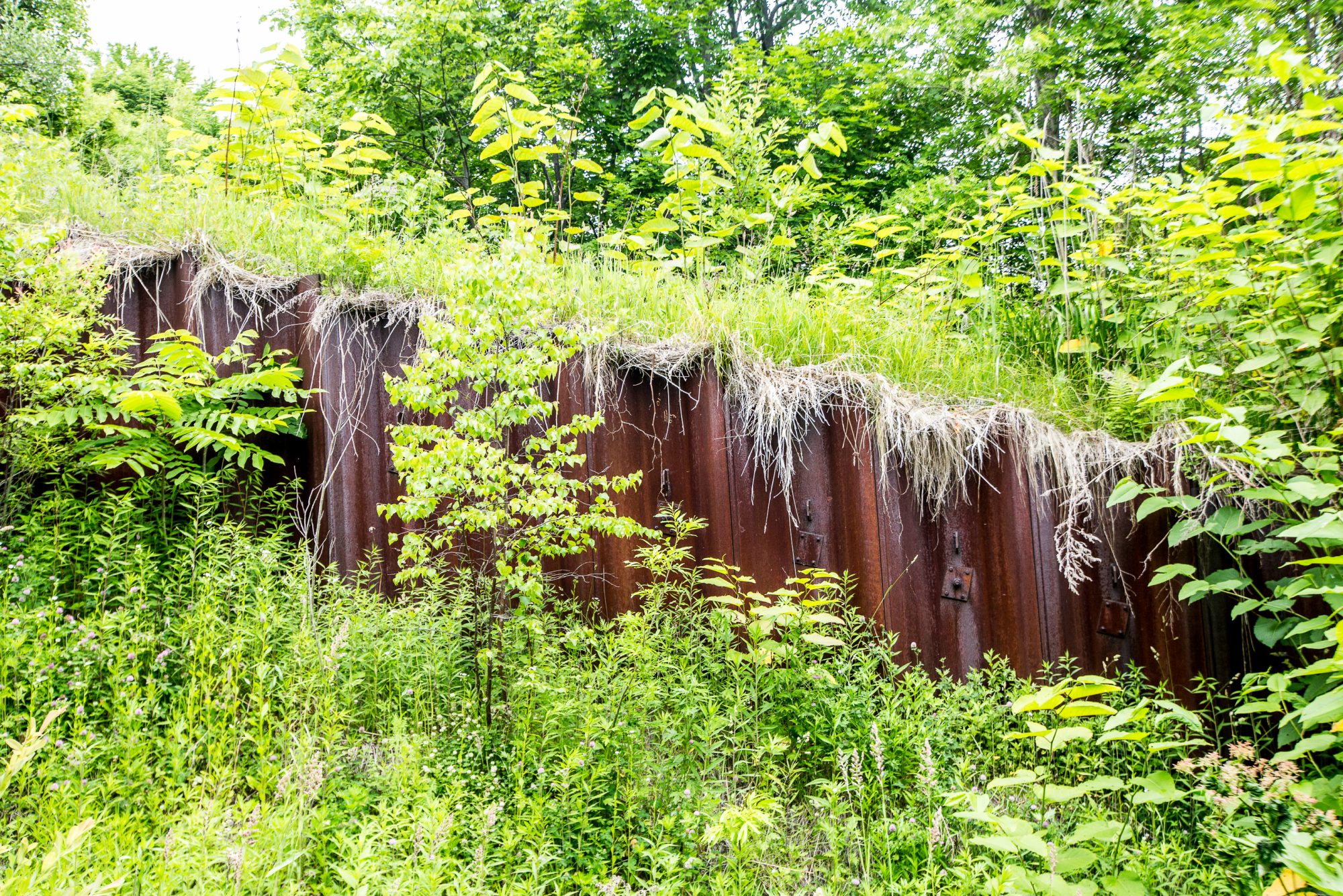
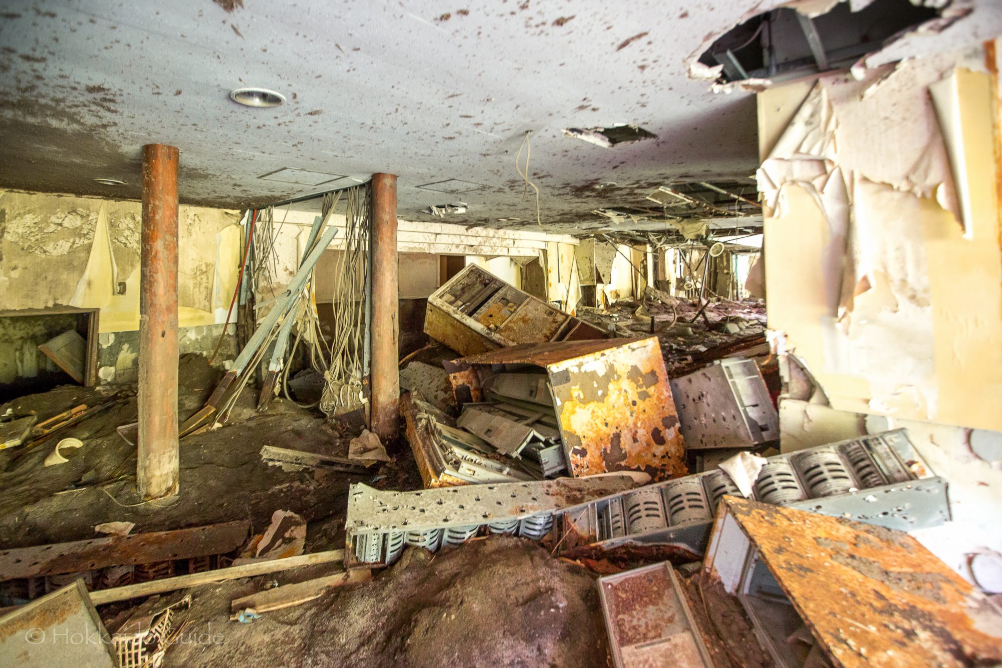
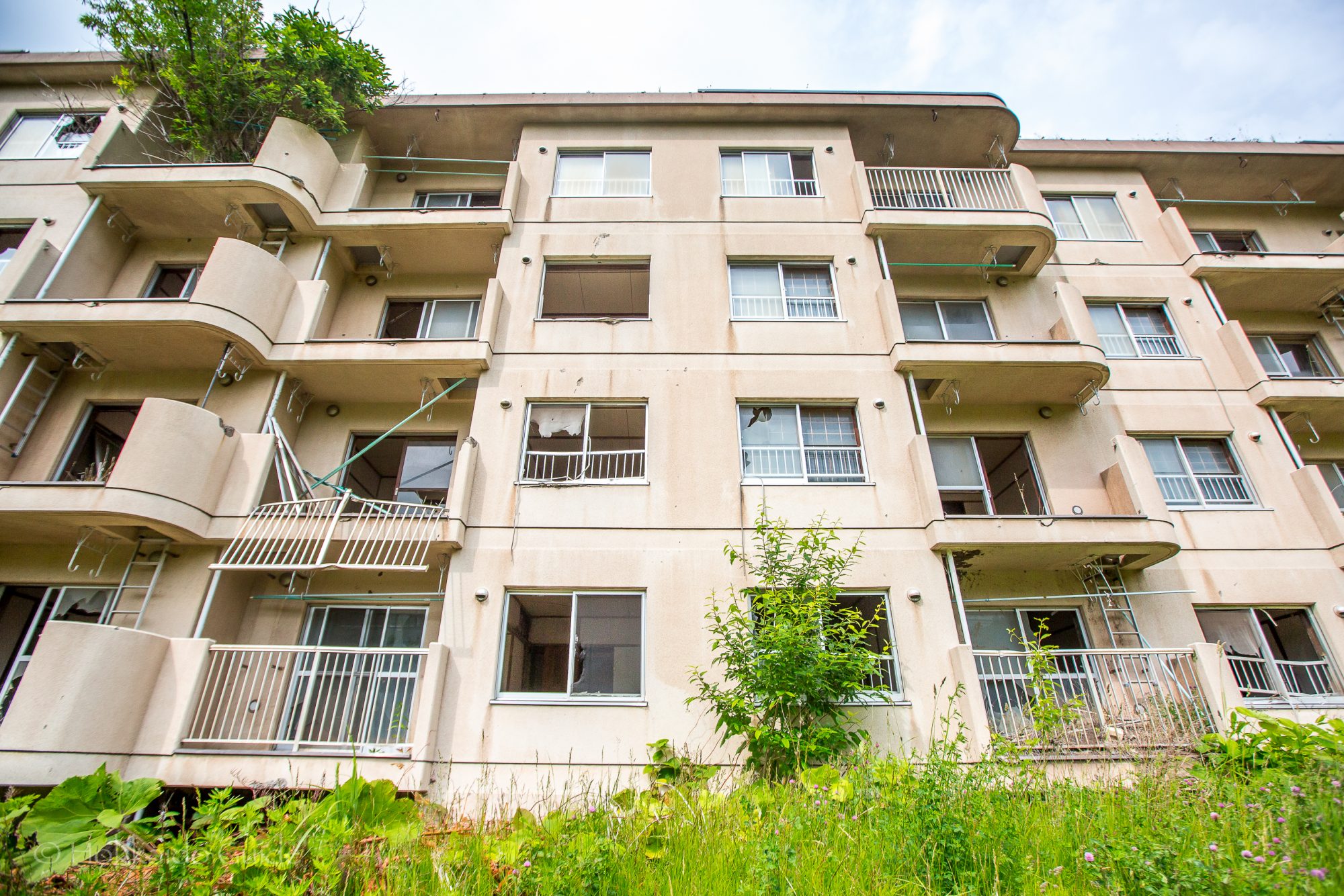
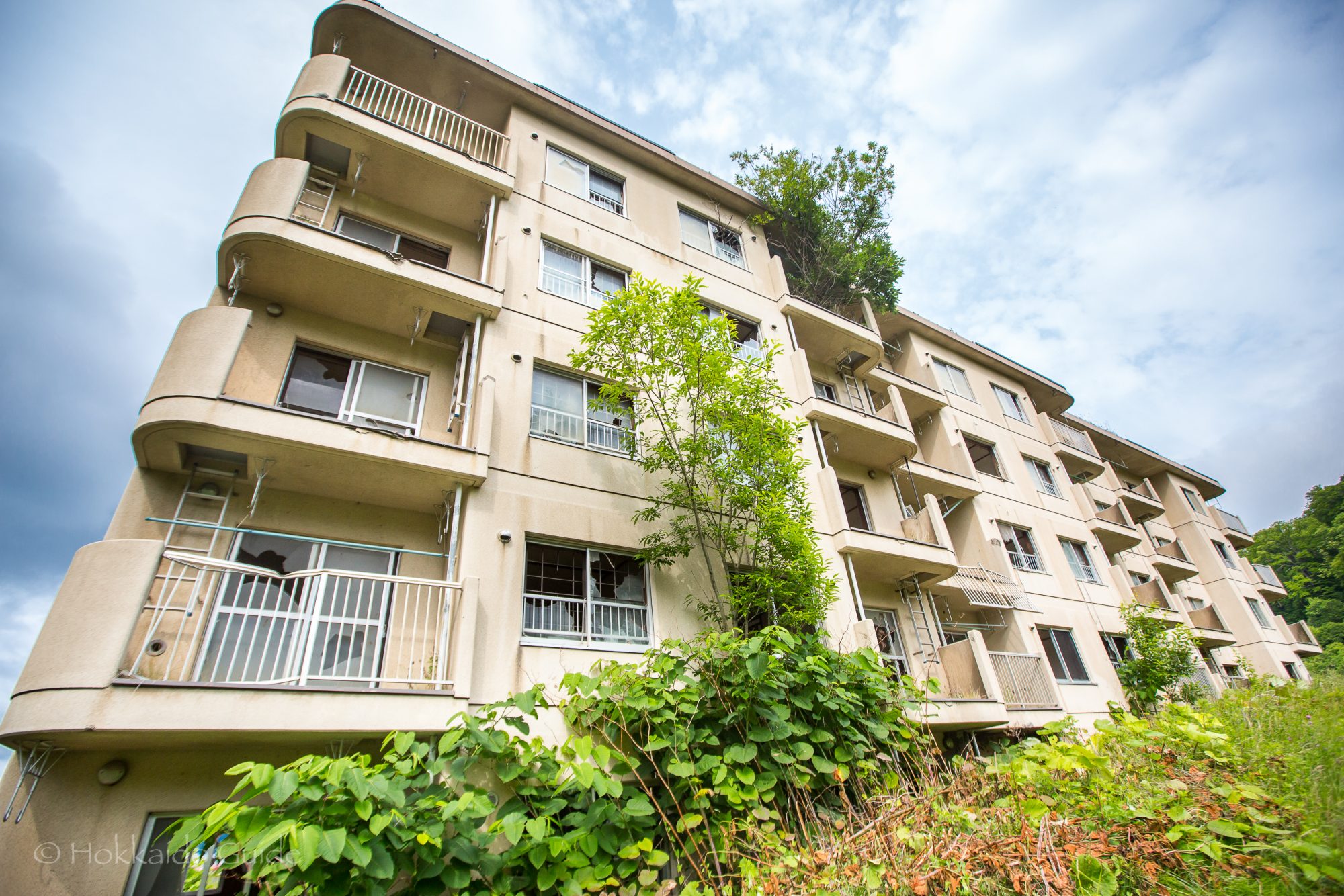
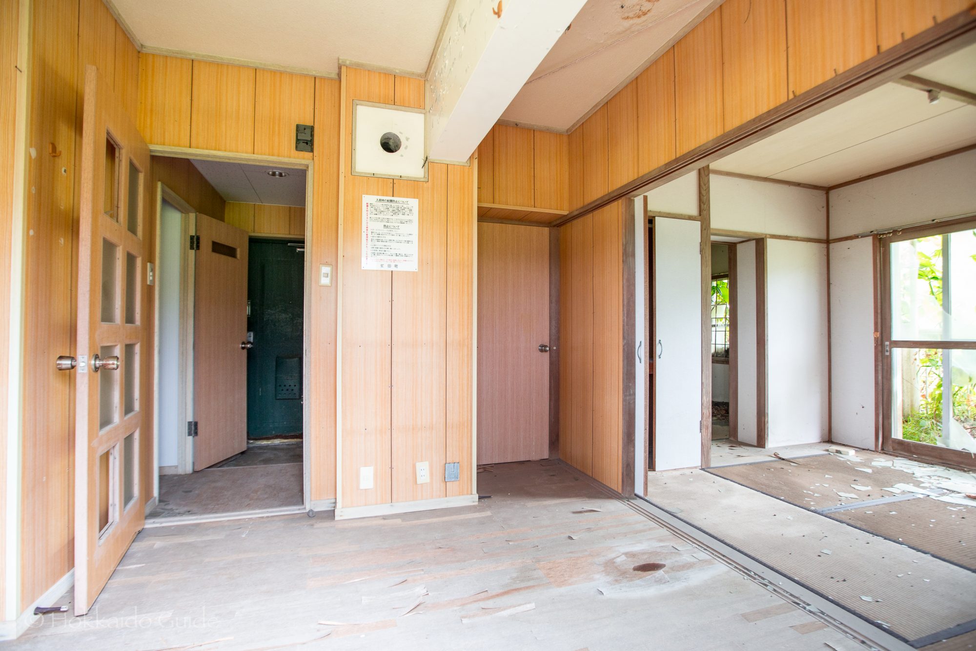
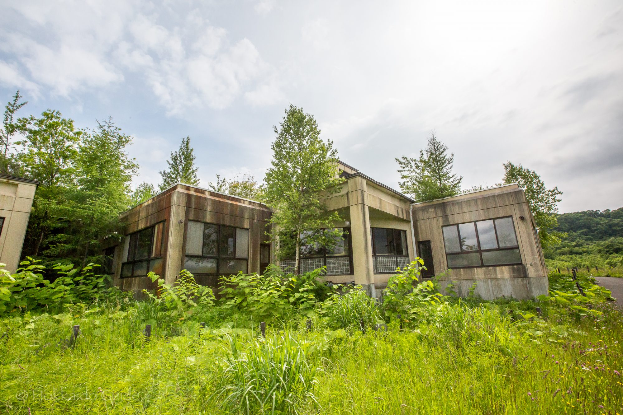
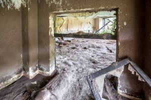 On March 27, 2000 Lake Toya was hit by volcanic activity and a number of large earthquakes causing some fault lines and the evacuation of the local residents. 4 days later,
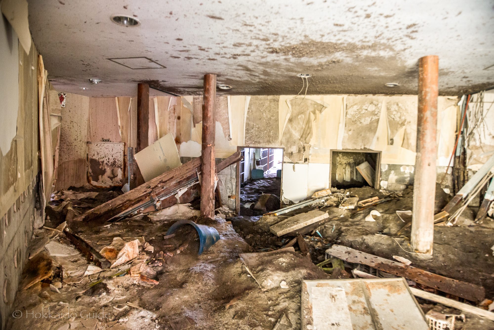
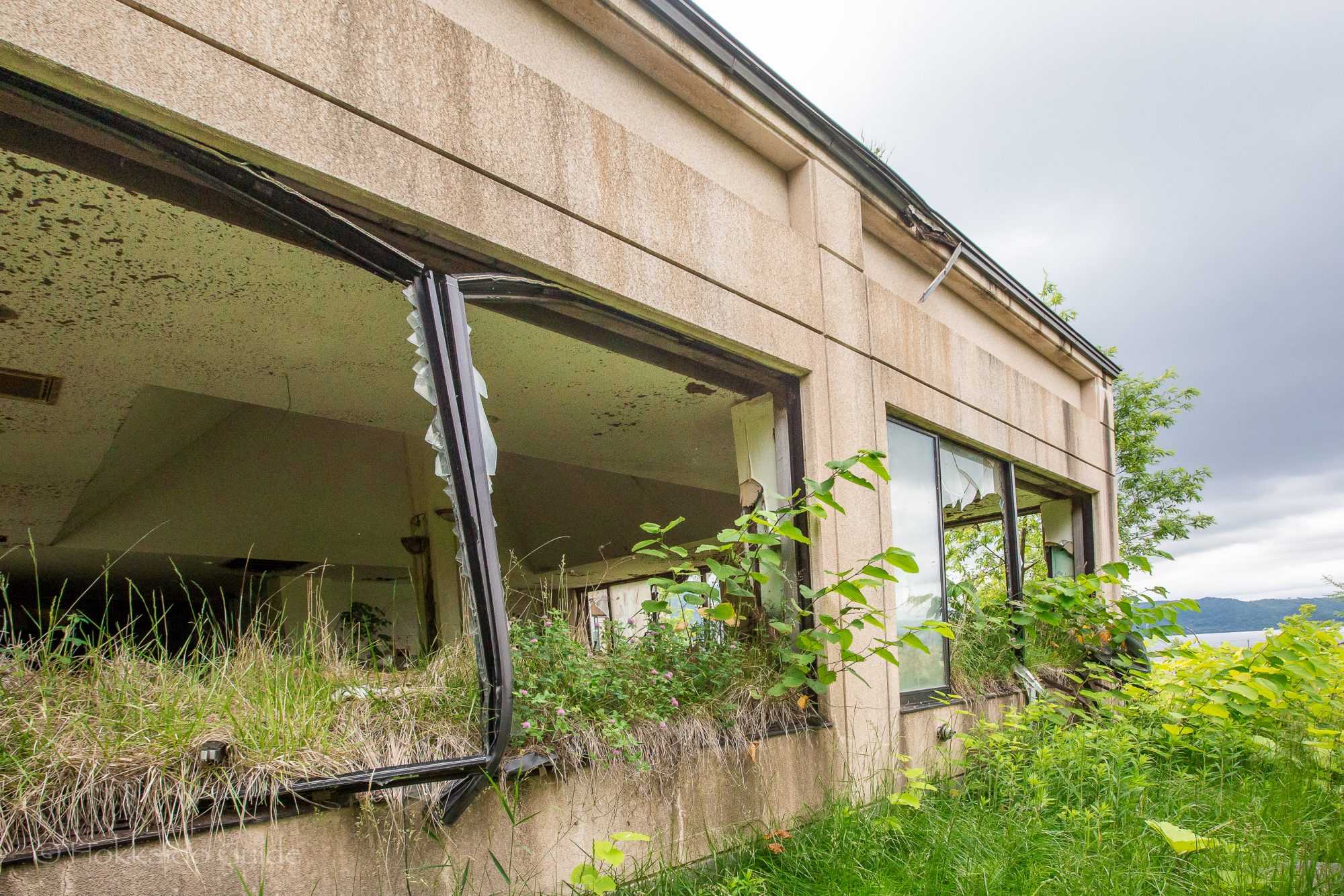
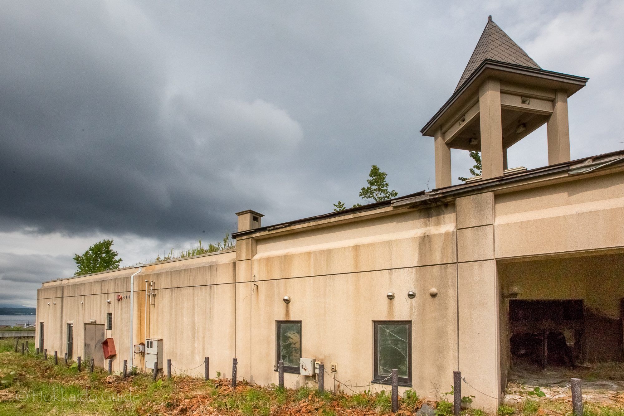
 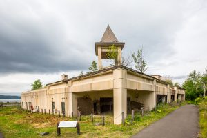 The outcome included the destruction of 234 homes and damage to a further 217. Fortunately, due to the evacuations there were no casualties. These buildings are fascinating to walk around and to peer into past events. In the quiet of the countryside, they serve as a spooky reminder to the power of mother nature. The path to the building ruins is easy to follow and it is recommended to follow it further up to the
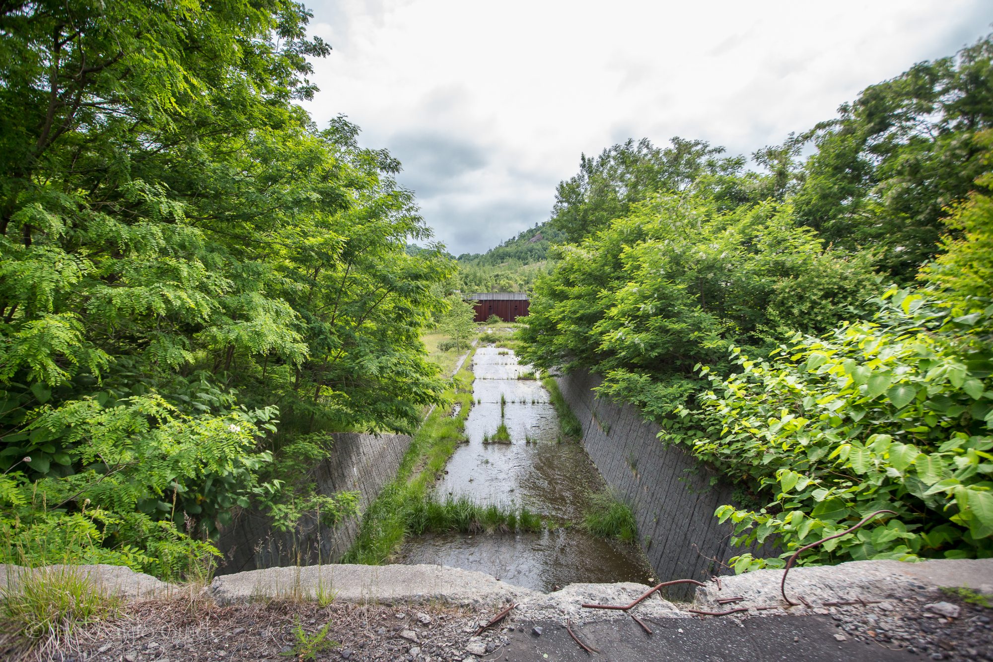
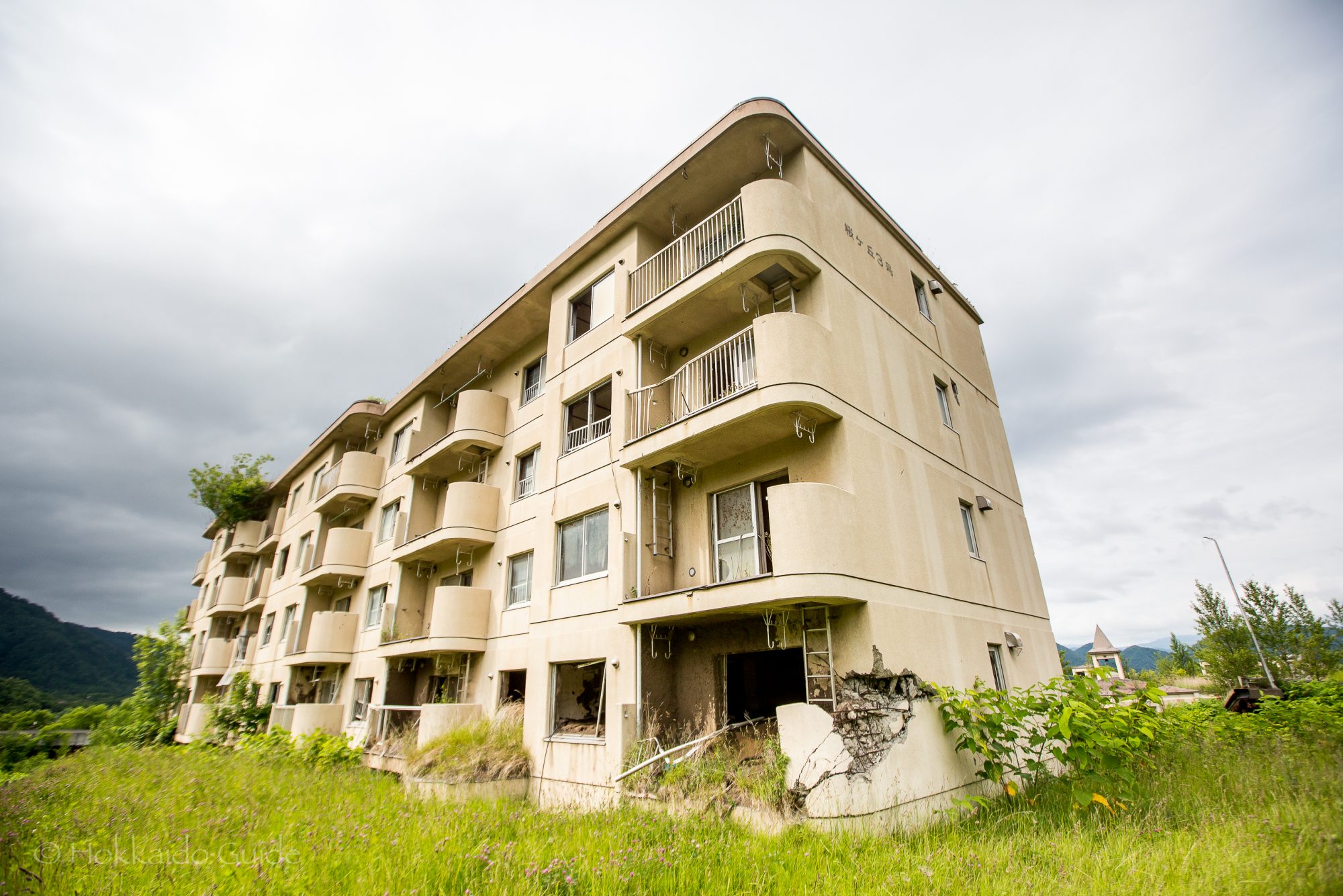
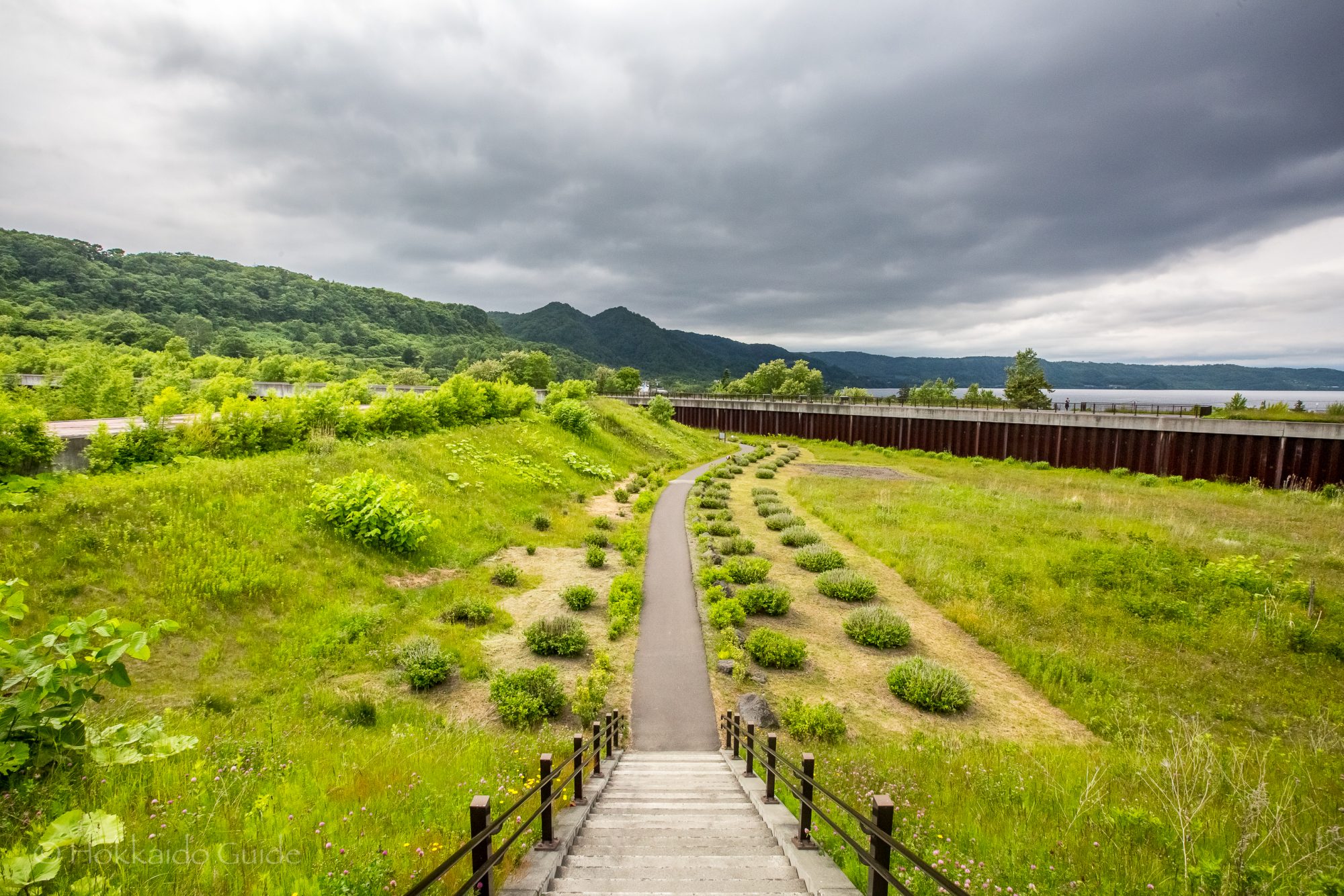
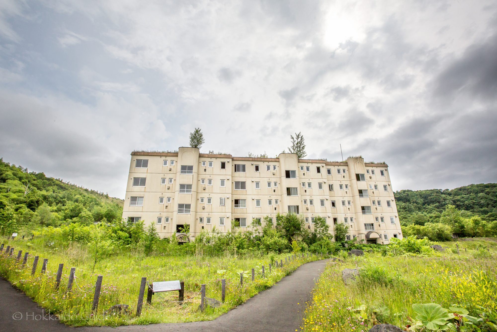
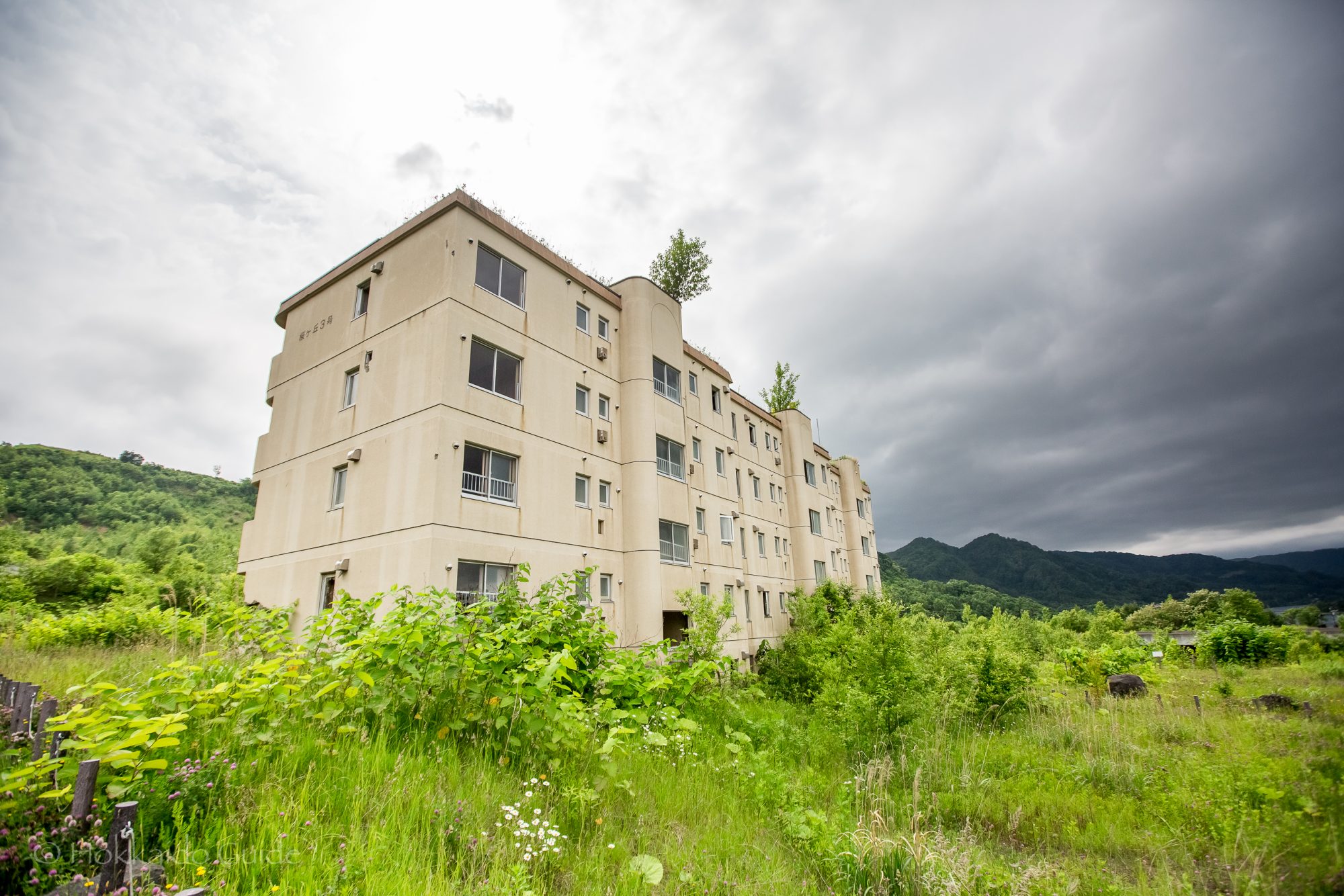
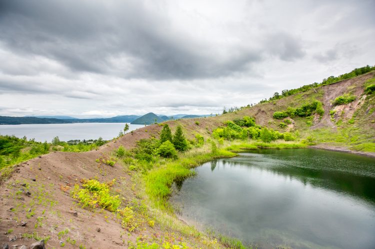

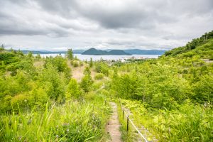
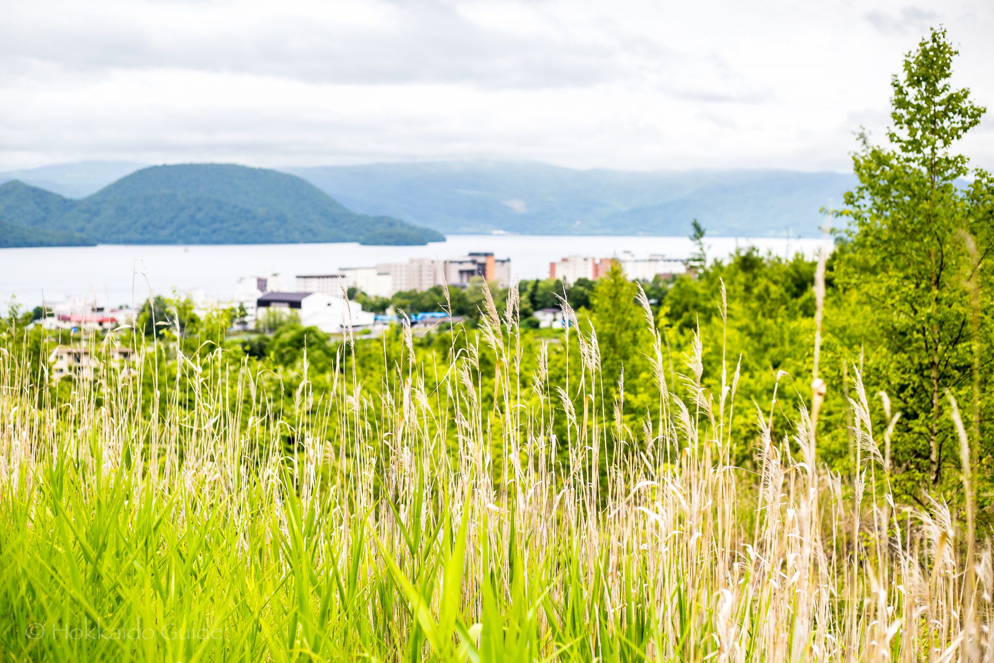
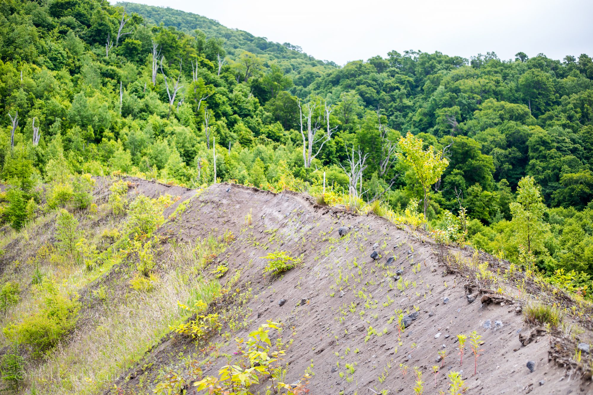
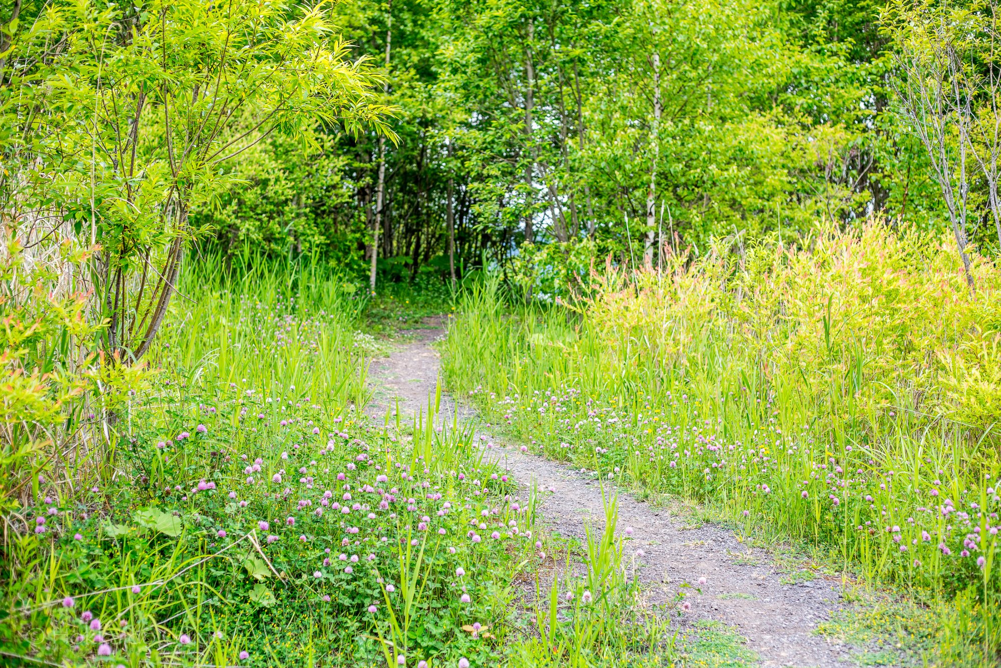
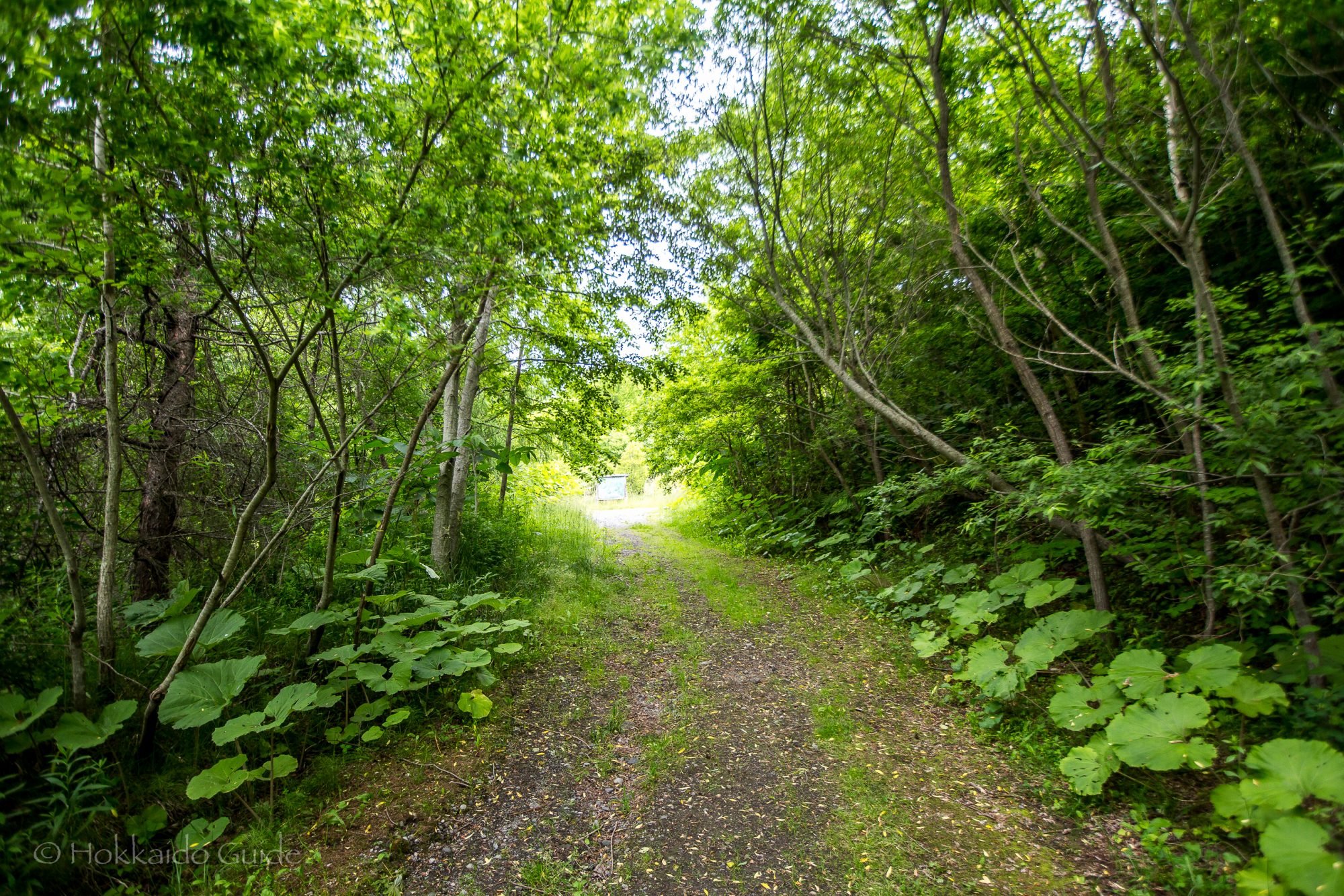
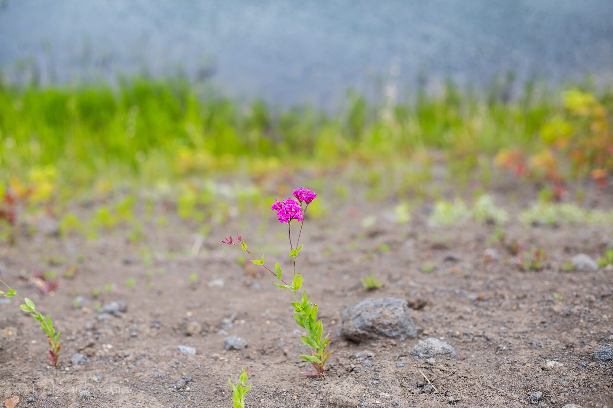
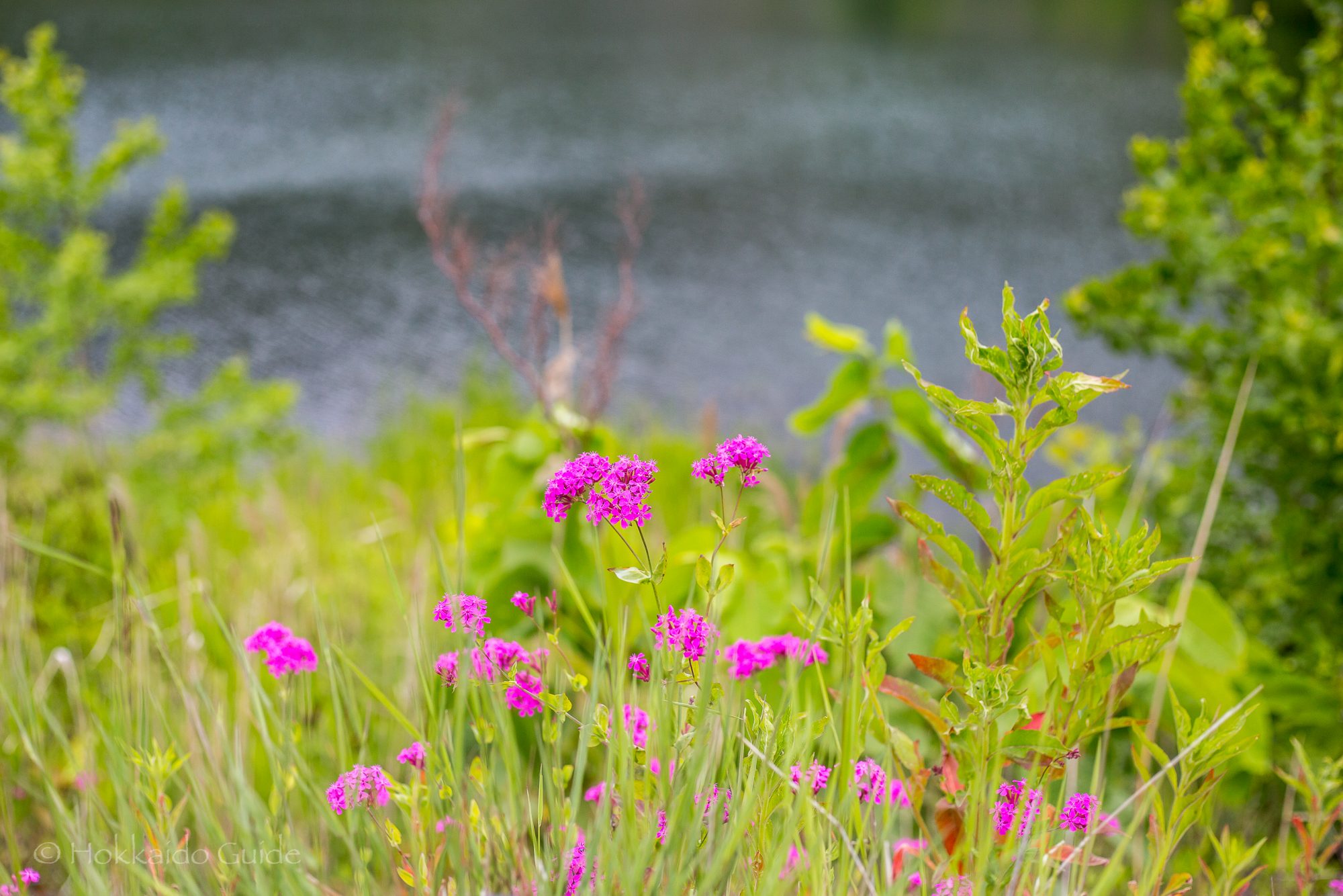
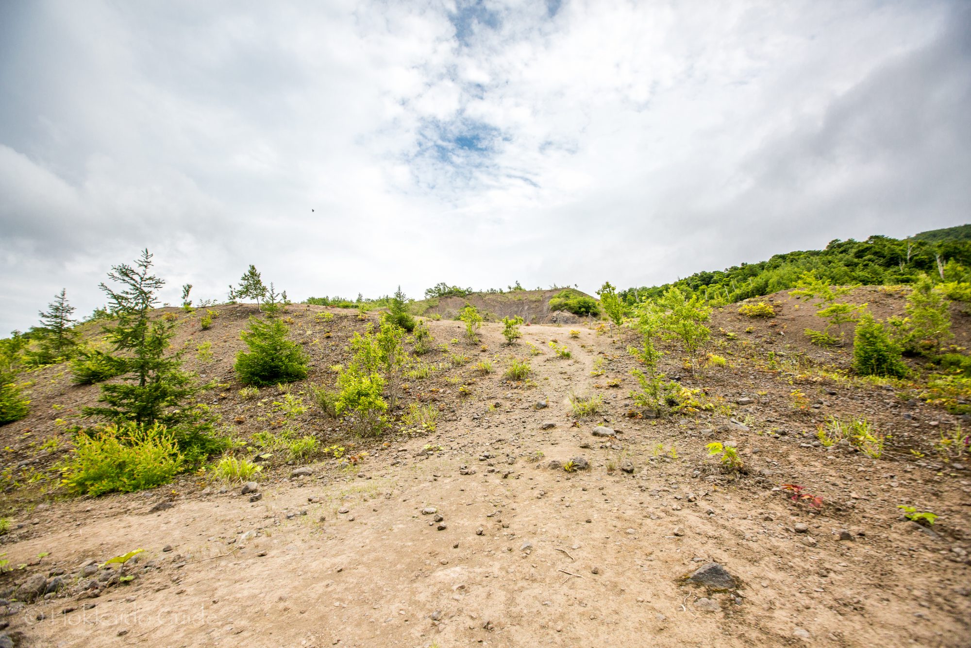
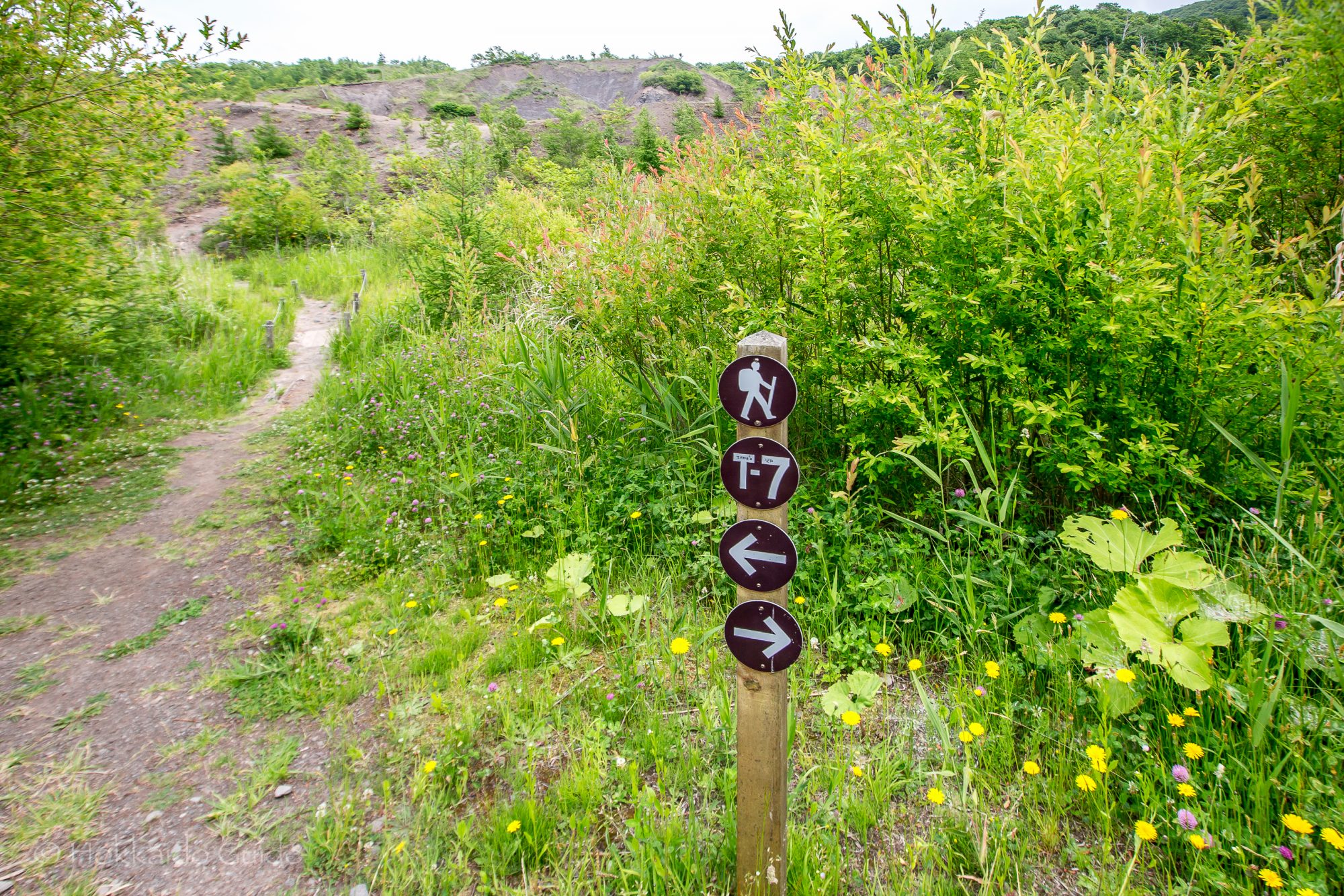
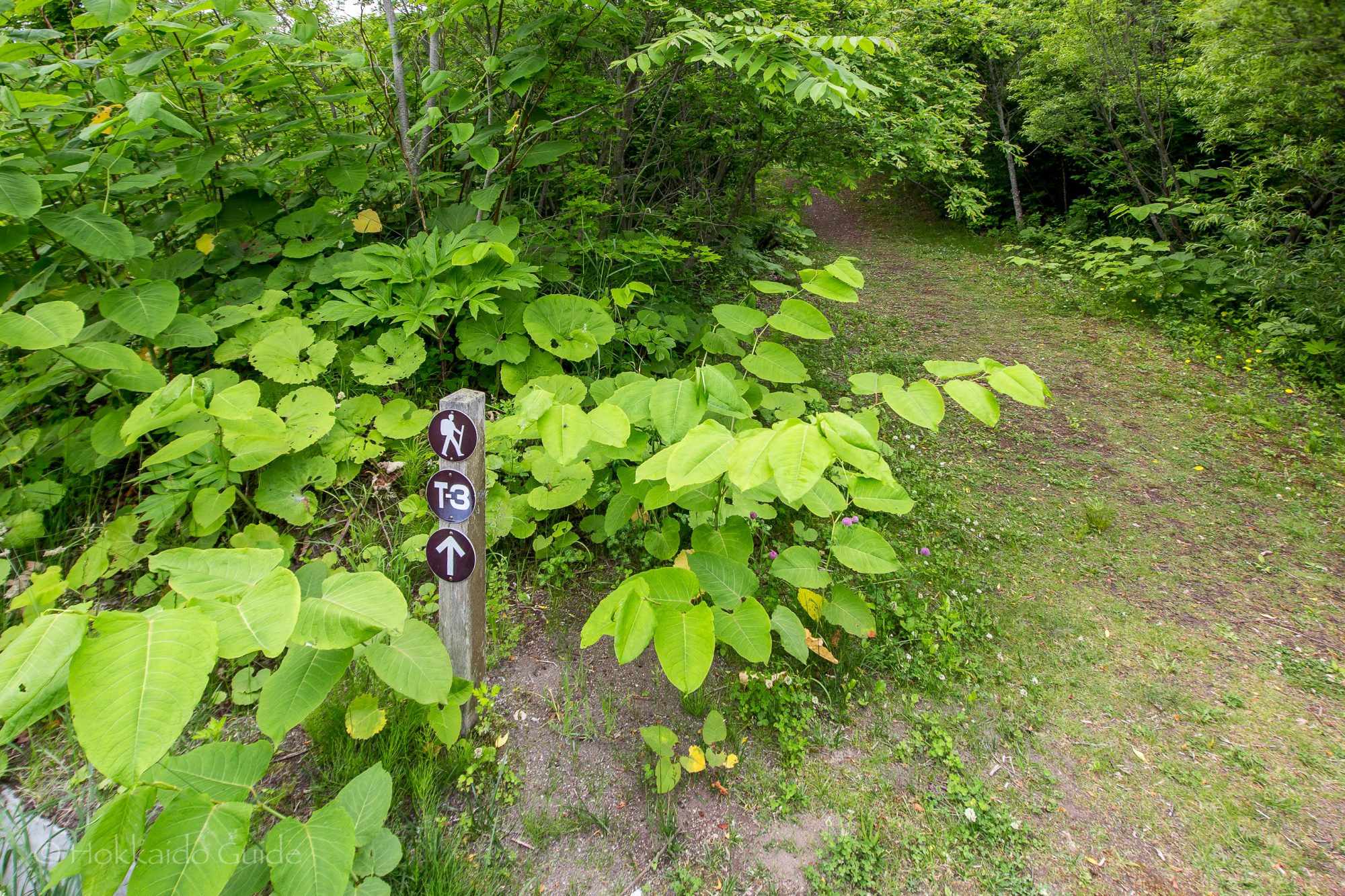
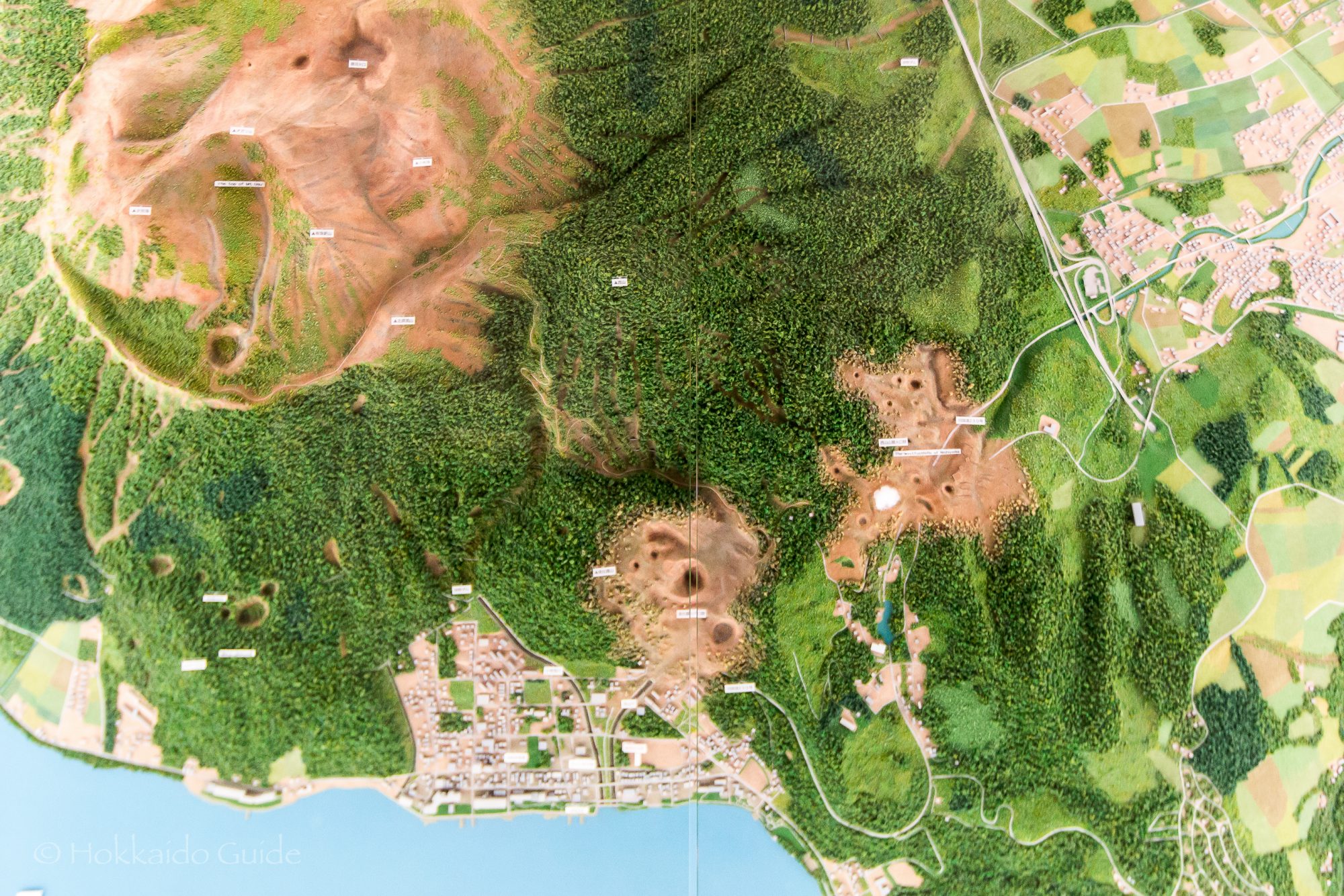
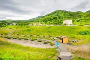 The walking trails are numbered from one to seven. You can find a map of these trails at the small hut at the base of the stairs that lead to start of the hike. The walk leads up into the hills where you can view the Ari-kun crater. Simply follow the sign mark T-7 and this will lead you to the crater. Along the way, you can see the steel barriers that were erected to protect the town from the hot mudflow after the 1977 eruptions. The trail is a circuit that also leads past the Sakuragaoka Housing Complex Ruins. Not only can you enjoy the views, but you also learn about the interesting history of the impact of the volcanoes in the area!