Haunted Yubari School
Posted on
For those who enjoy haunted stories, like dark and eerie places, and are ghost chasers, Yubari is definitely a place you need to stop and check out. Yubari was once a thriving town and due to the coal mine closing down and the town going bankrupt, it has seen a massive population decline. The abandoned infrastructure and silent streets create a stark, haunting environment, with some specific locations linked to paranormal stories. Read More ....


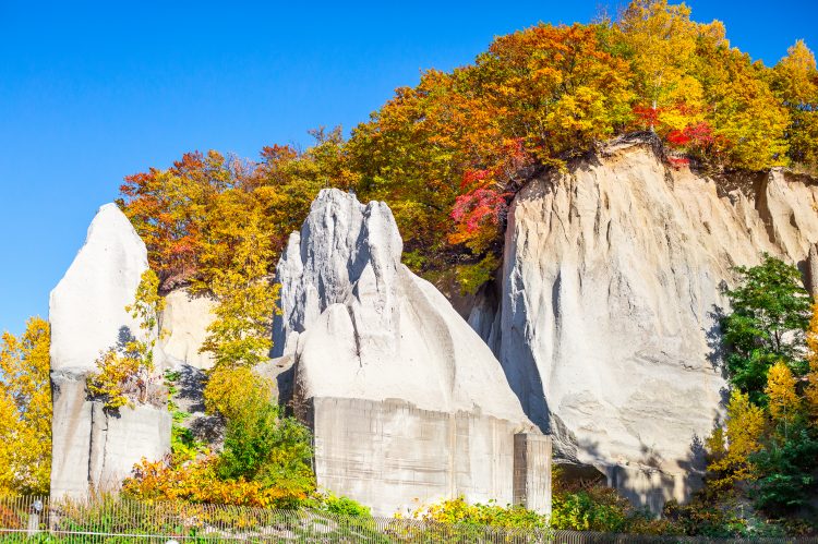

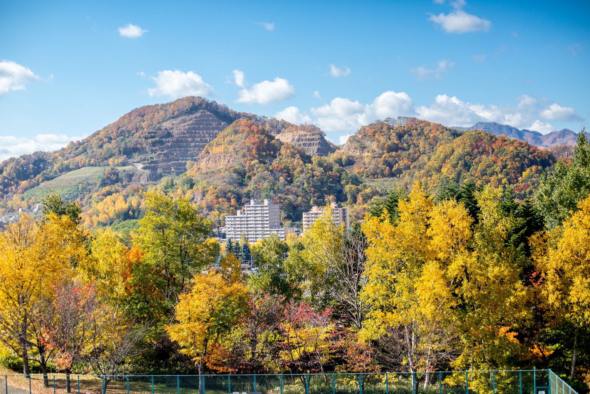
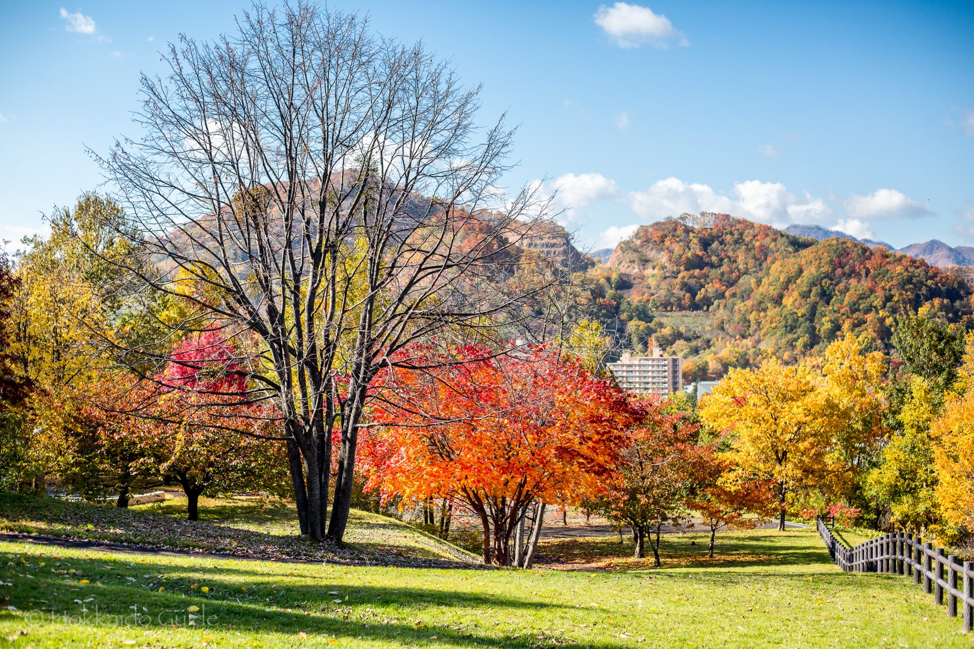
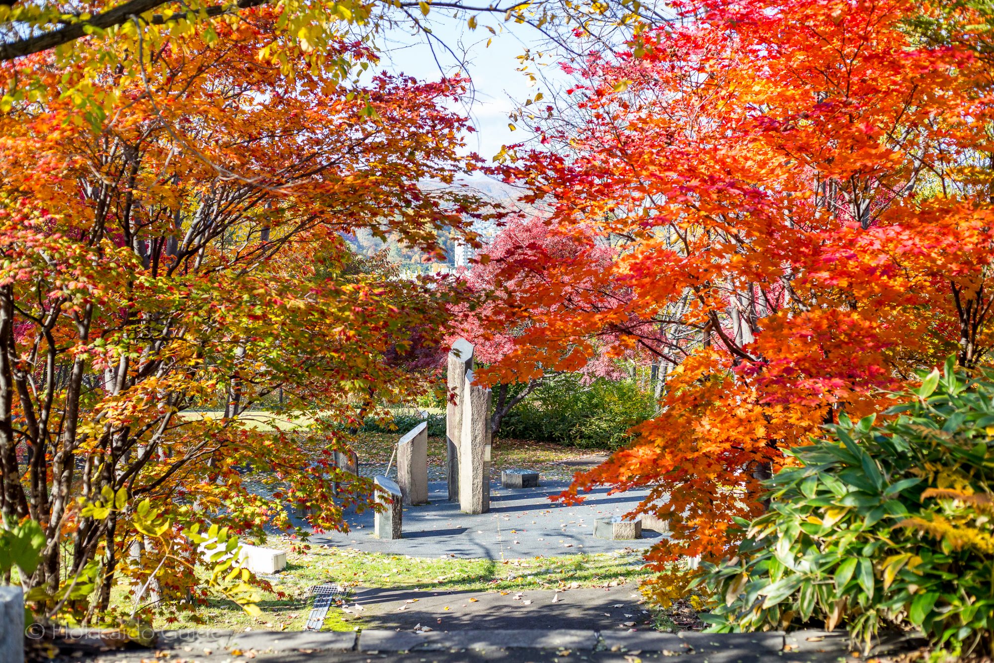
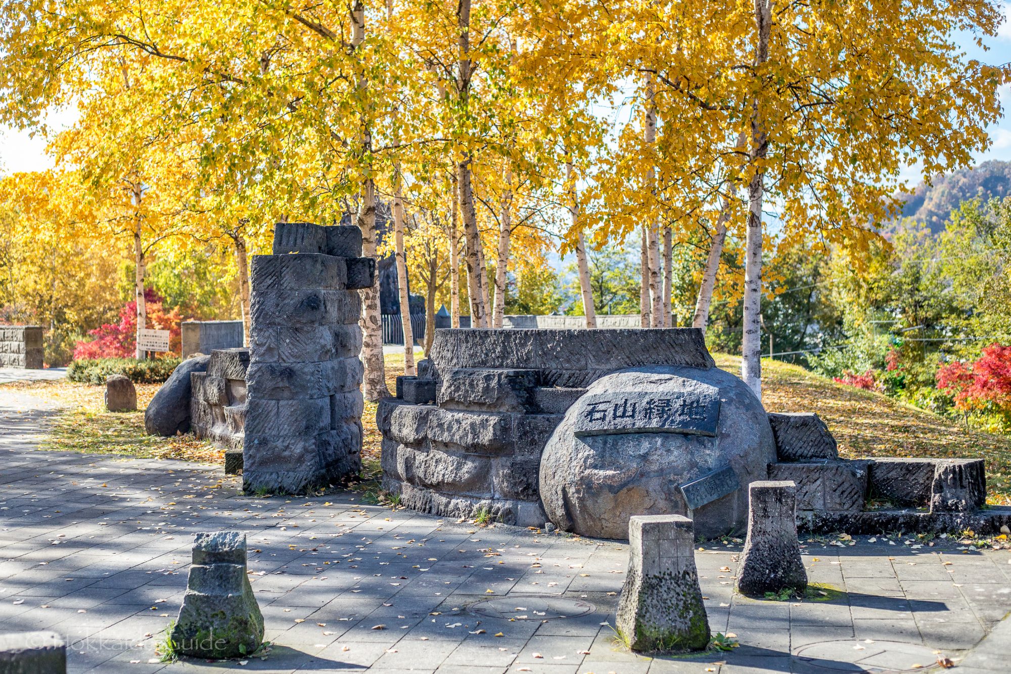
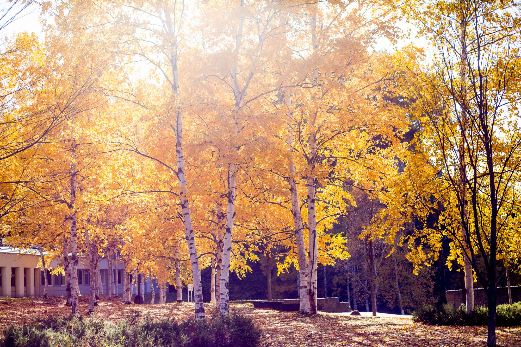
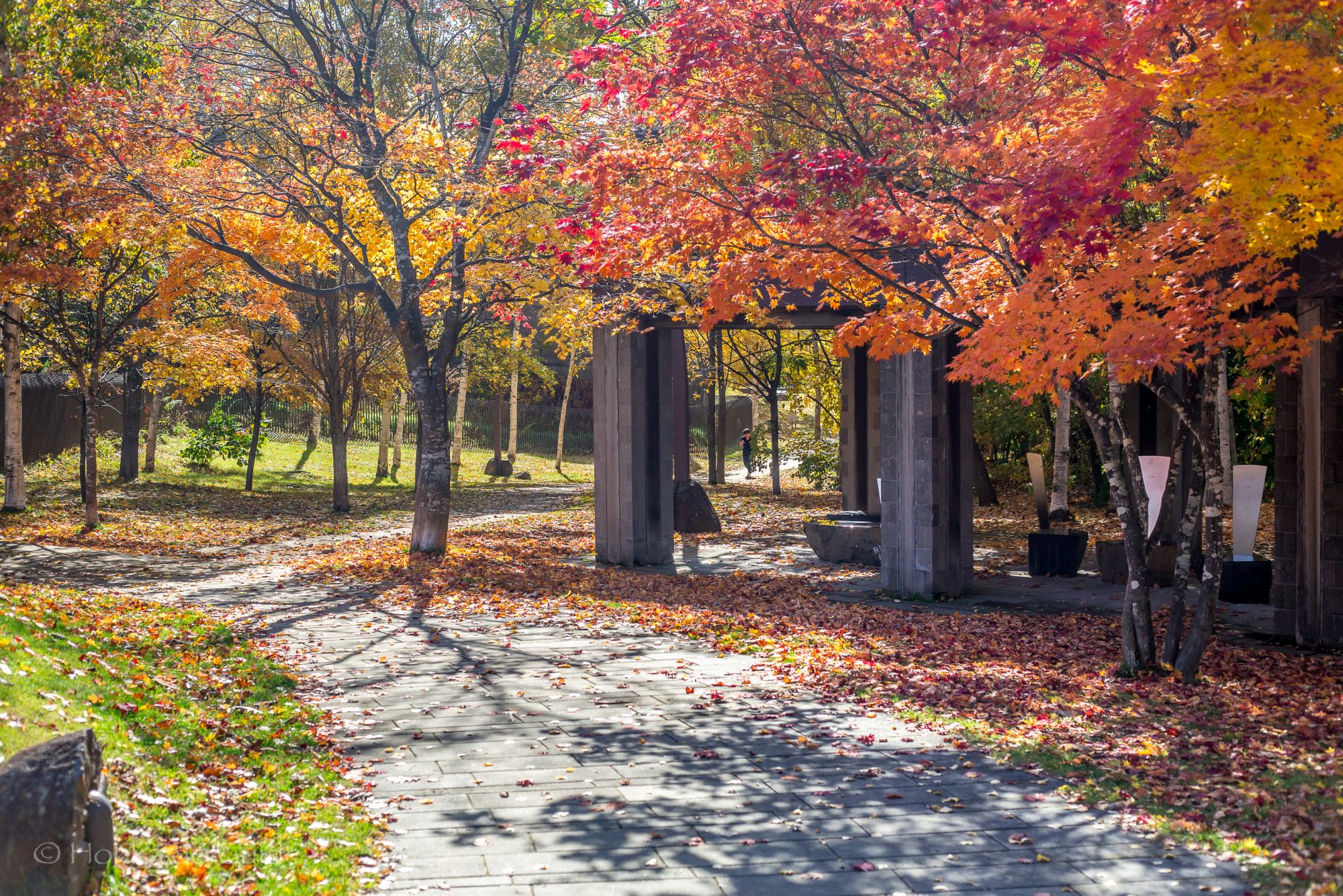
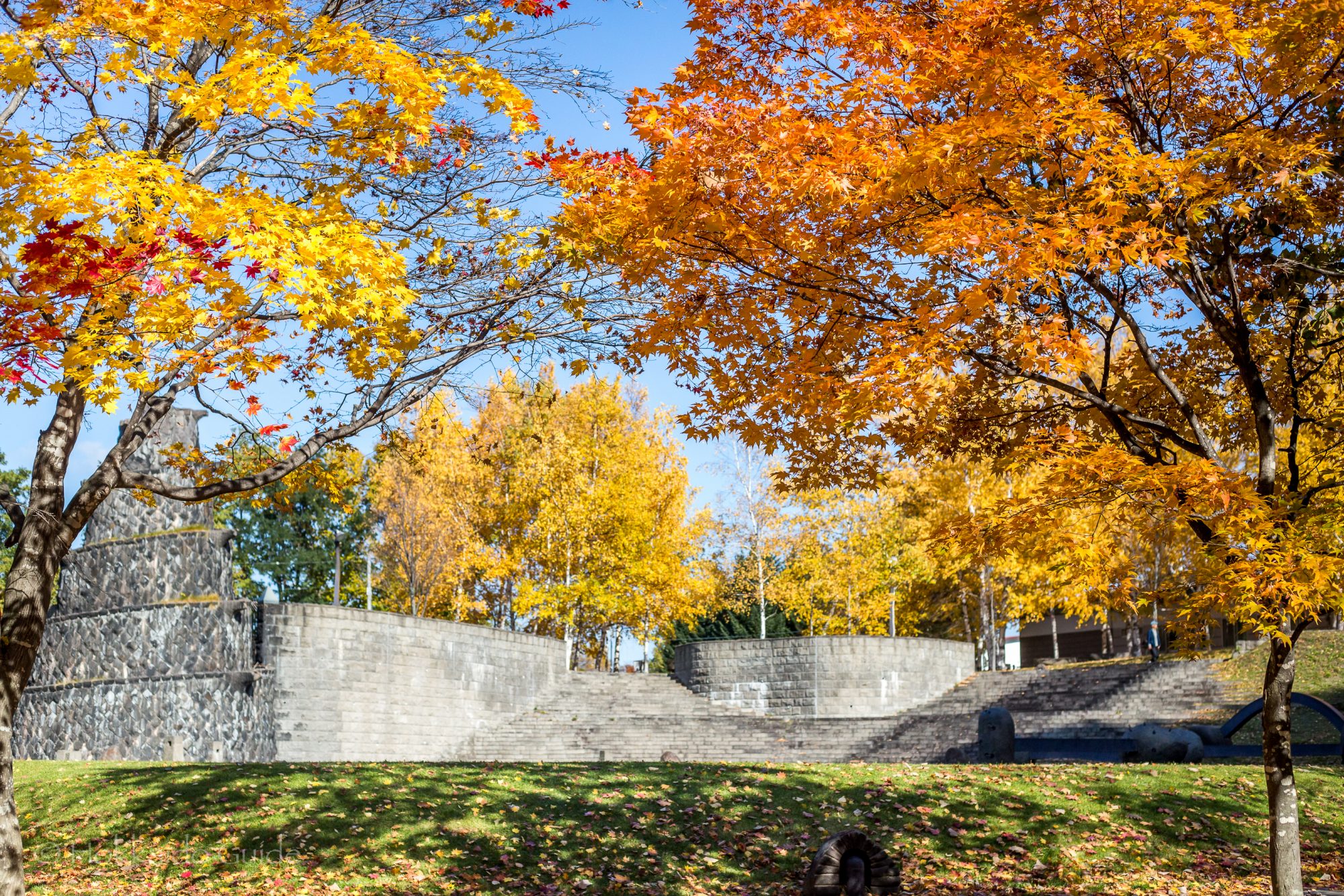
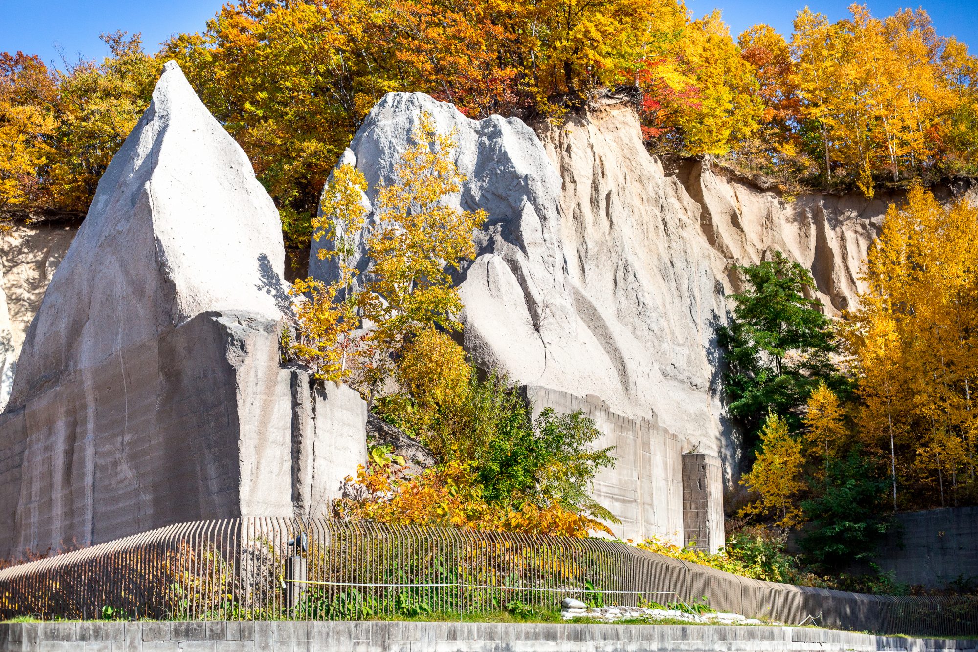
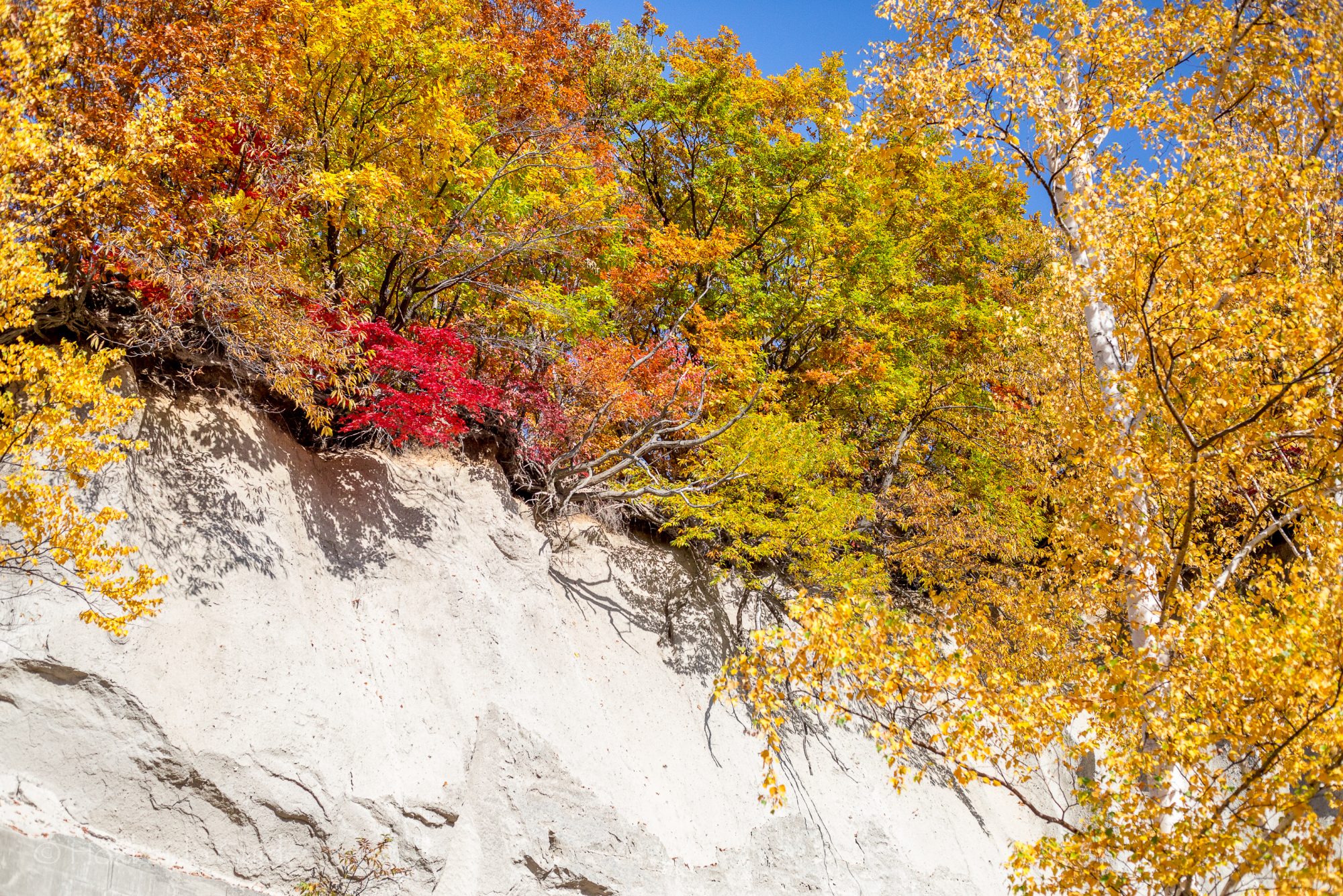
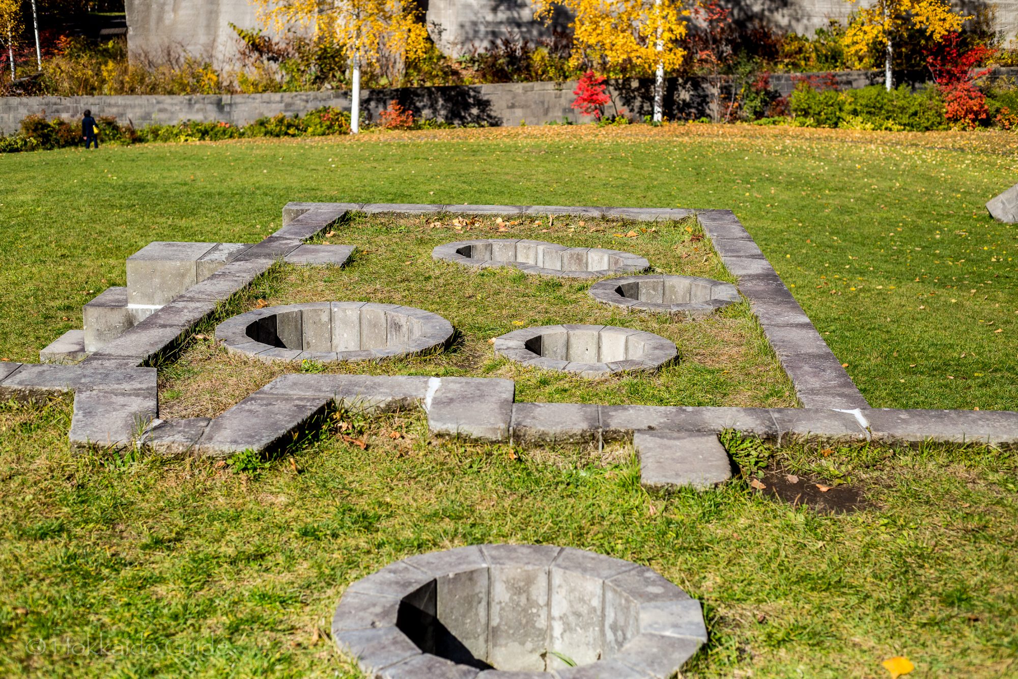
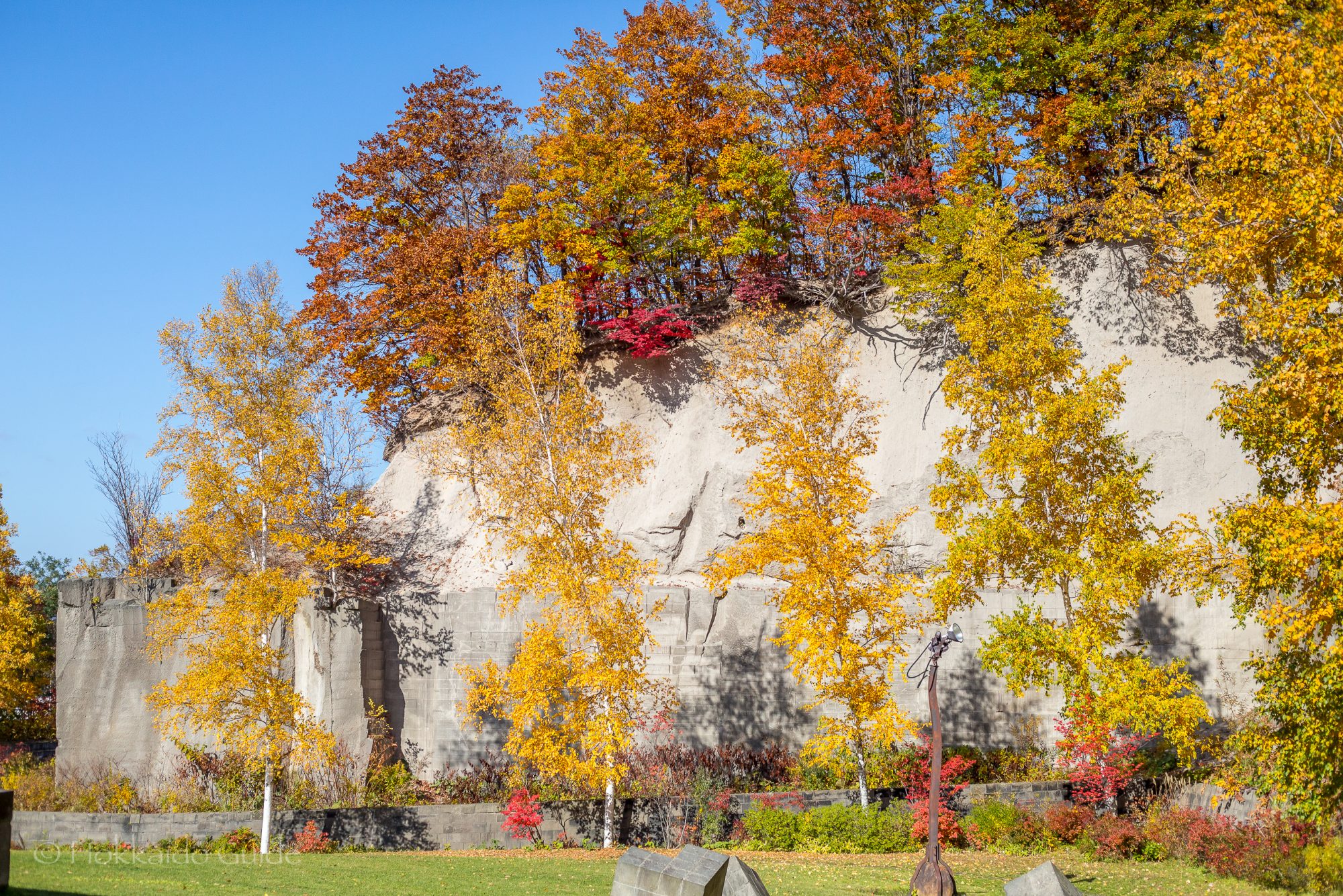
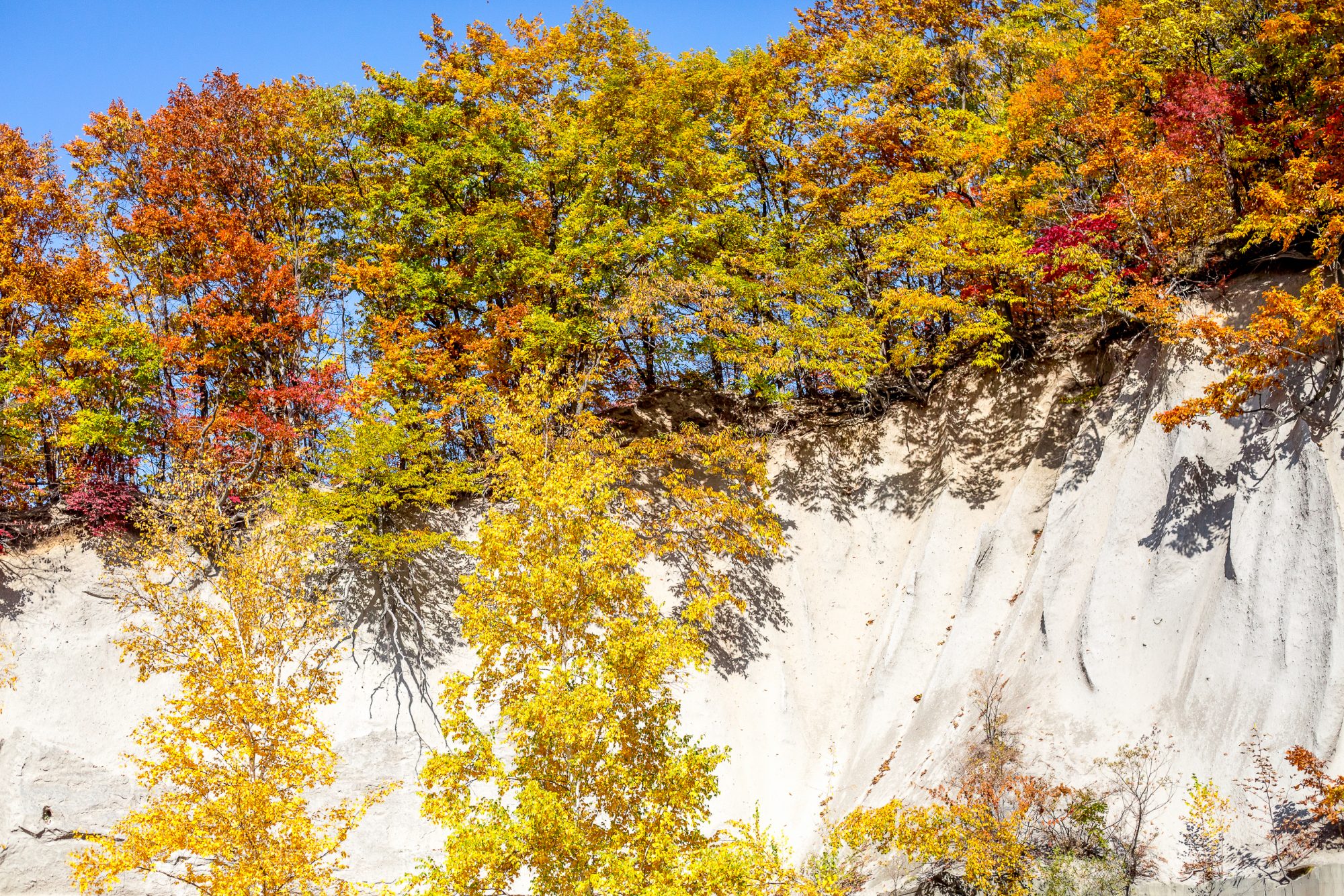
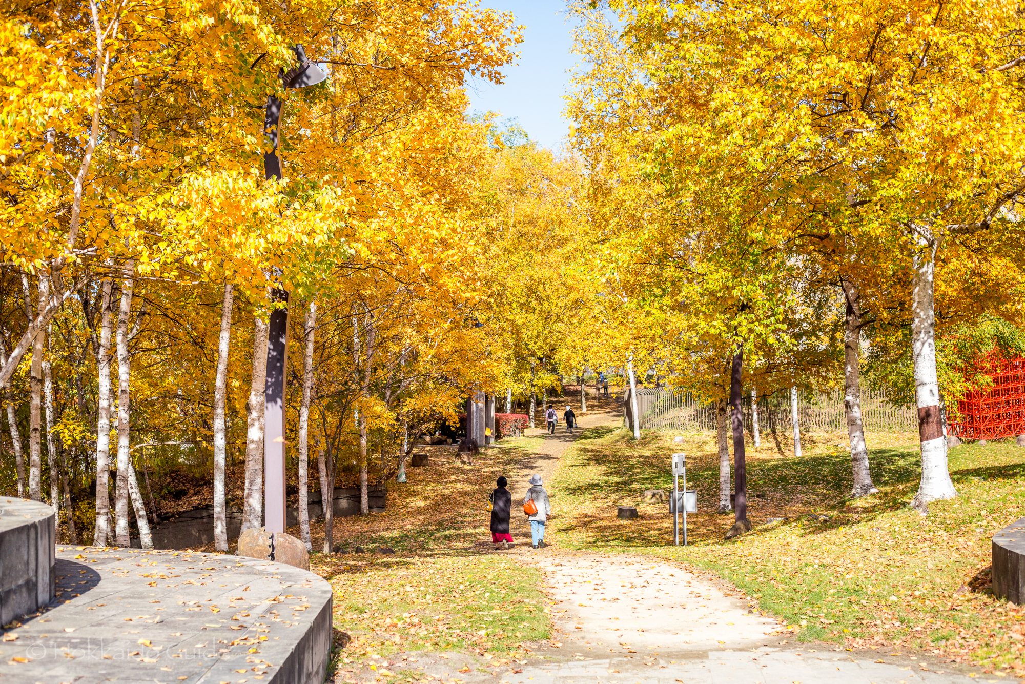
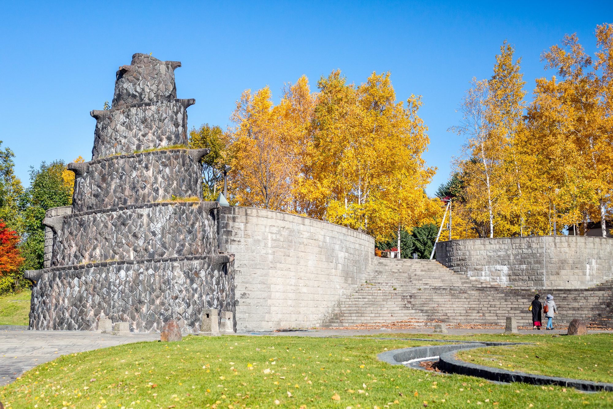
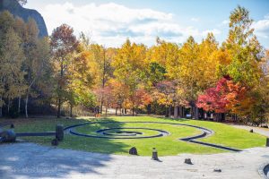 Ishiyama Green Space is a fantastic area to walk around, explore and relax. It has a real unearthly feel to it as the park is surrounded by sheer, white rock topped with overhanging trees. There are also beautiful and interesting sculptures placed around the park and are built into the landscape, adding to the mystique and beauty. The park was originally a soft rock mining site and in 1993 it was transformed into its current look. This park is definitely a must see during the autumn as the changing leaves add a vibrant color in contrast to the white cliffs!
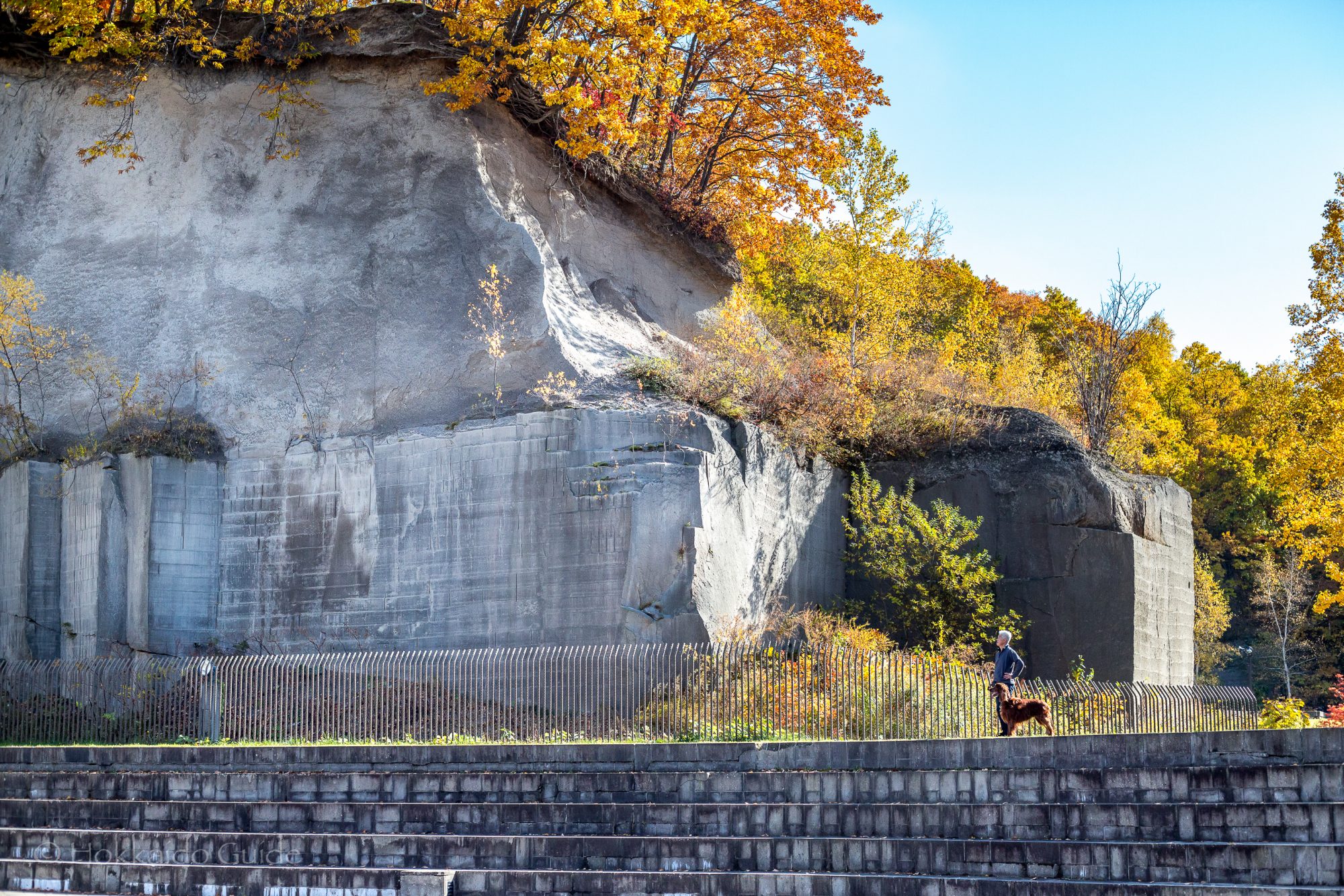
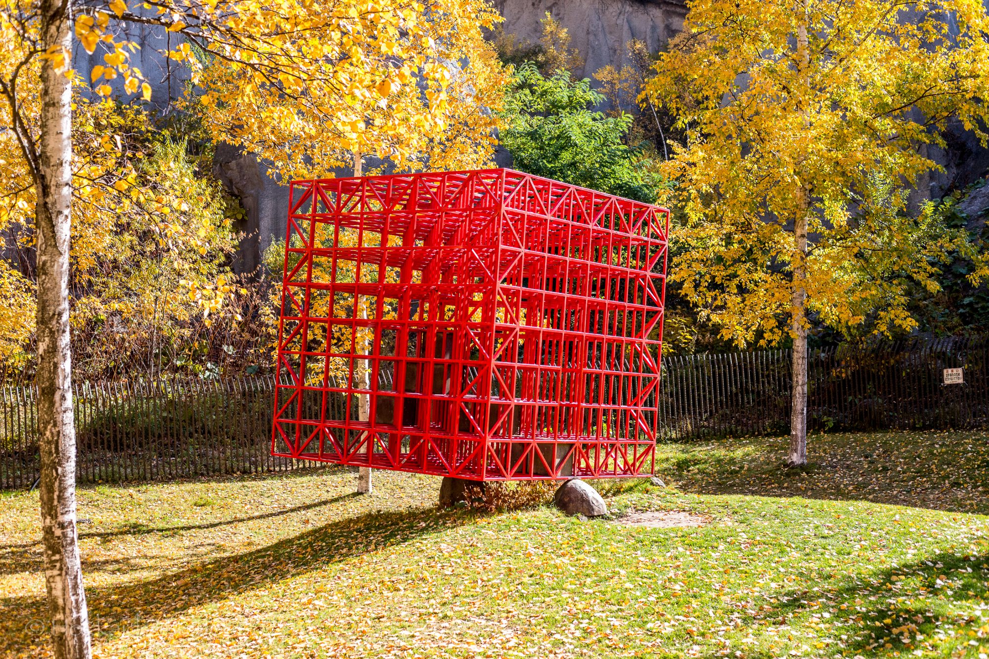
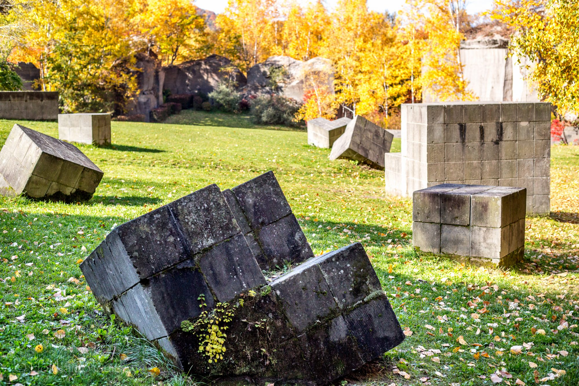
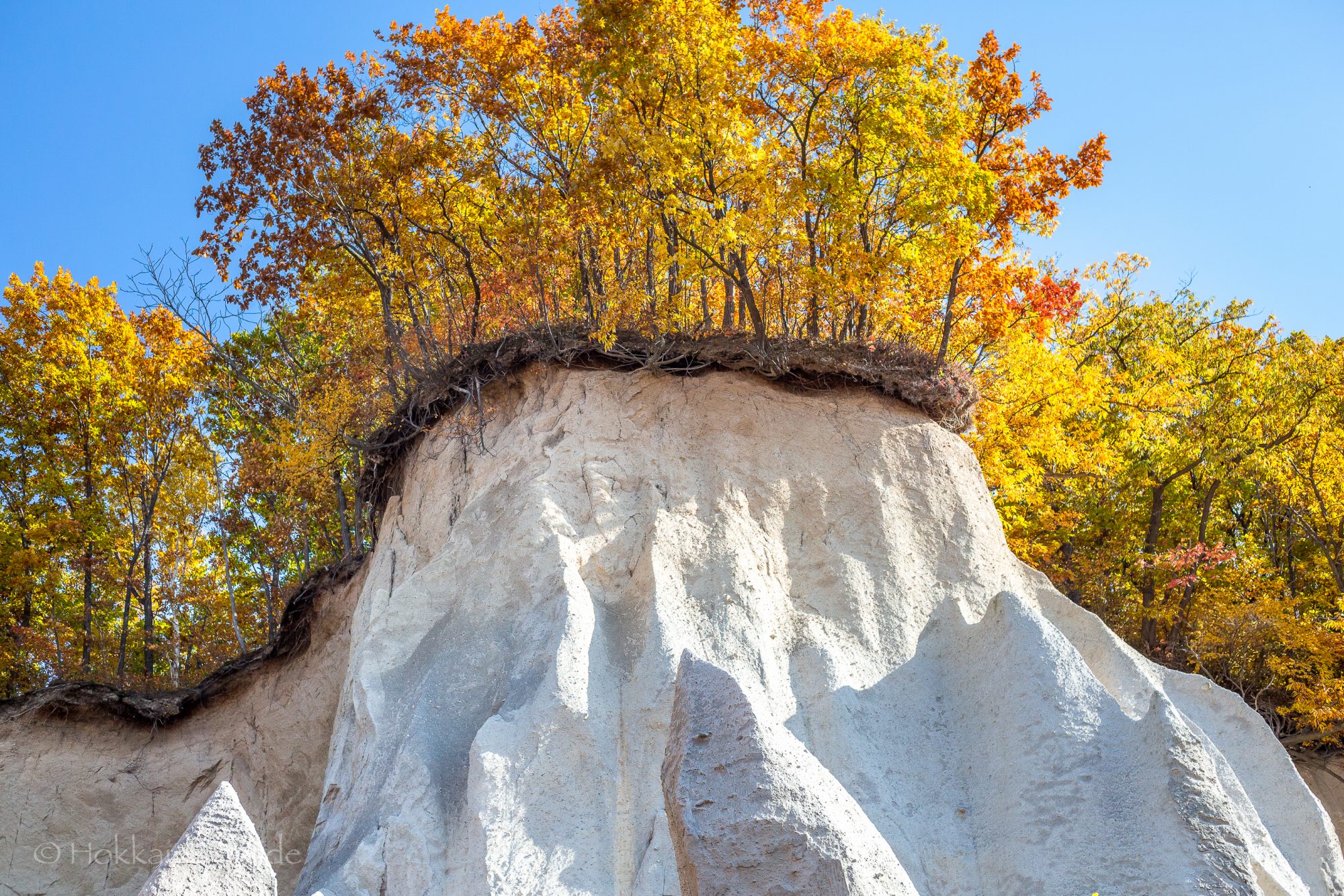
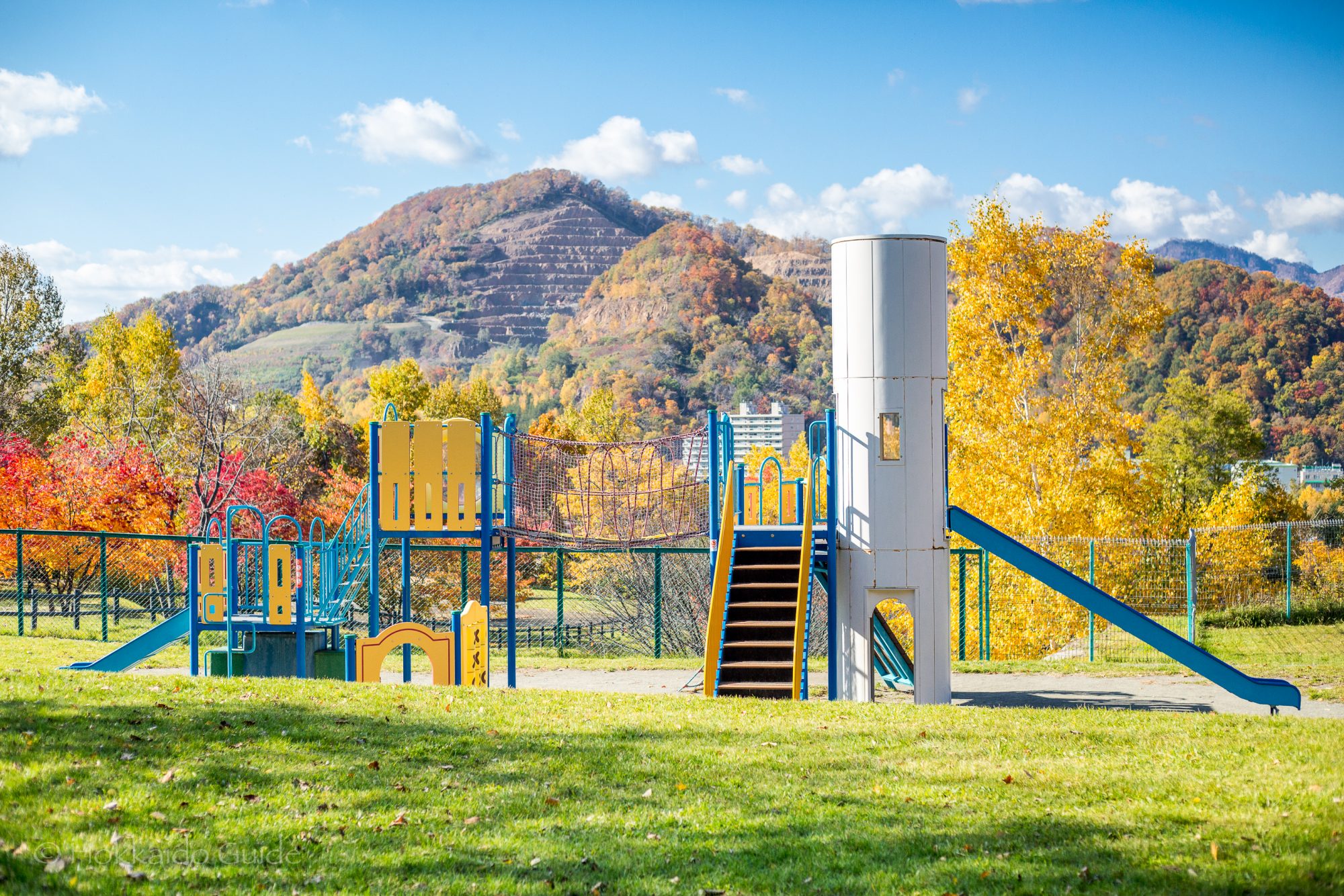
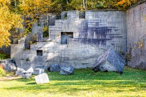 The park is split into two sections with a small road dissecting the space. There is parking on both sides. The northern park has a lookout point which offers great views down the valley that leads to Jozankei. It is also on this side you can find a play area for the kids, plus there are tennis courts that can be rented out for ¥620 per hour. There is also a gateball (a kind of croquet style game) field here. The southern section of Ishiyama Green Space has paths and sculptures that wind around by ten meter white rock cliffs. This space has areas to sit, to walk around and explore this amazing space.
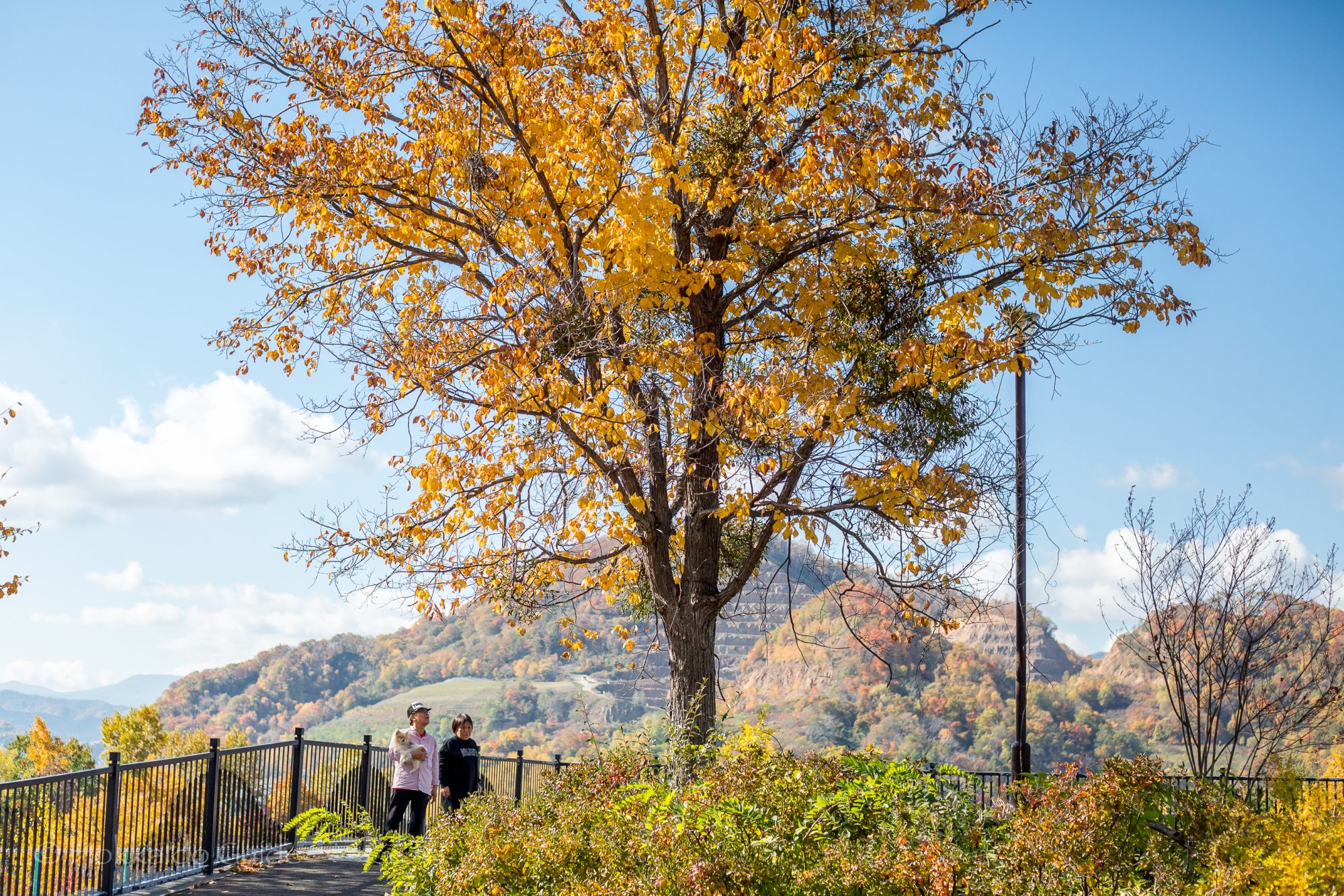
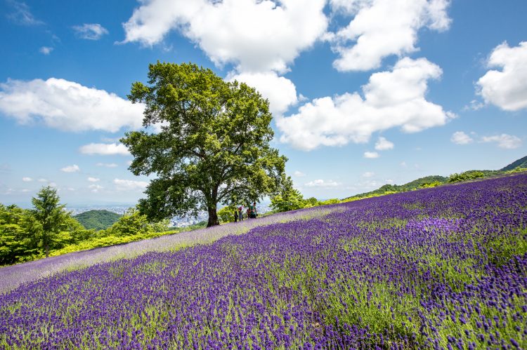

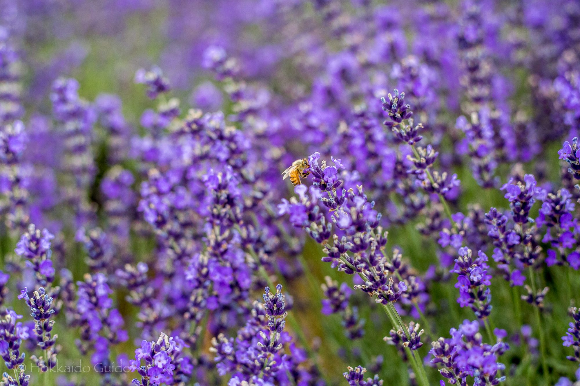
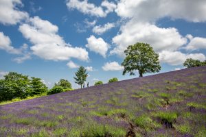
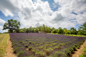
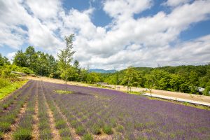
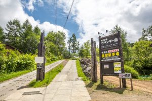
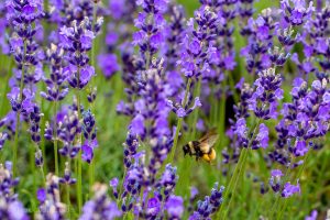
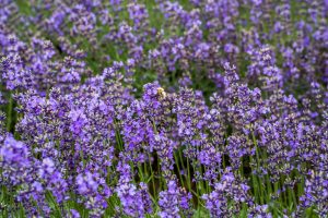
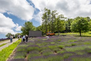
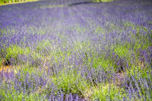
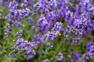
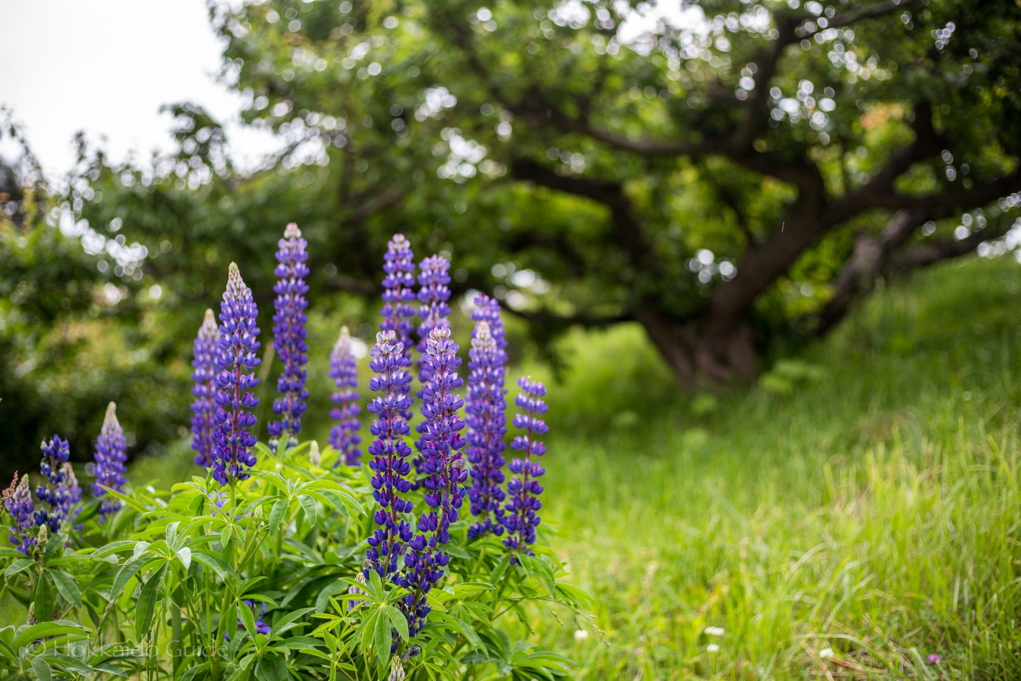
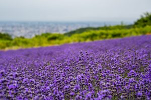 To see beautiful fields of lavender with stunning views, you don’t need to travel all the way to Furano. Sapporo has a secret spot where you can enjoy these beautiful lavender fields, and its right on the edge of town! If you only have a couple of days in Sapporo you can simply take a quick subway ride and then take a taxi to the Horomitoge Lavender Gardens. The gardens were created in 1987. Originally, there were only 120 lavender plants. This number has now grown to an impressive 5,000. It is a great place to wander around and get some stunning photos.
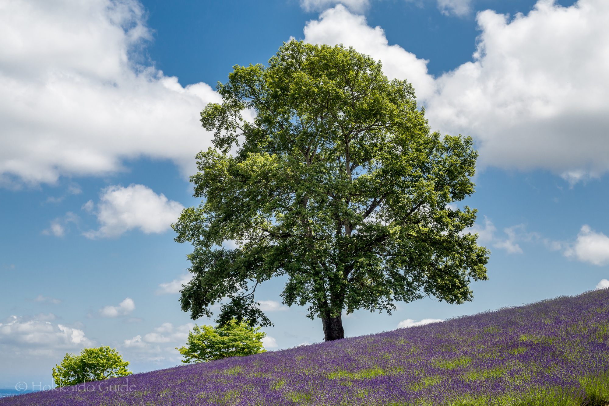

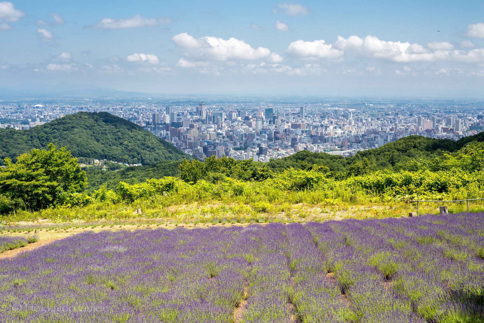
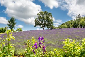
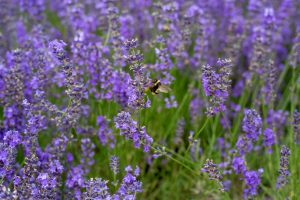
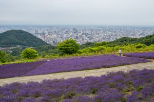
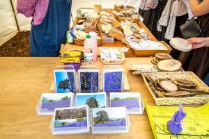
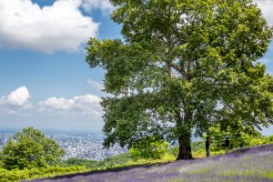
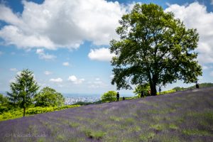
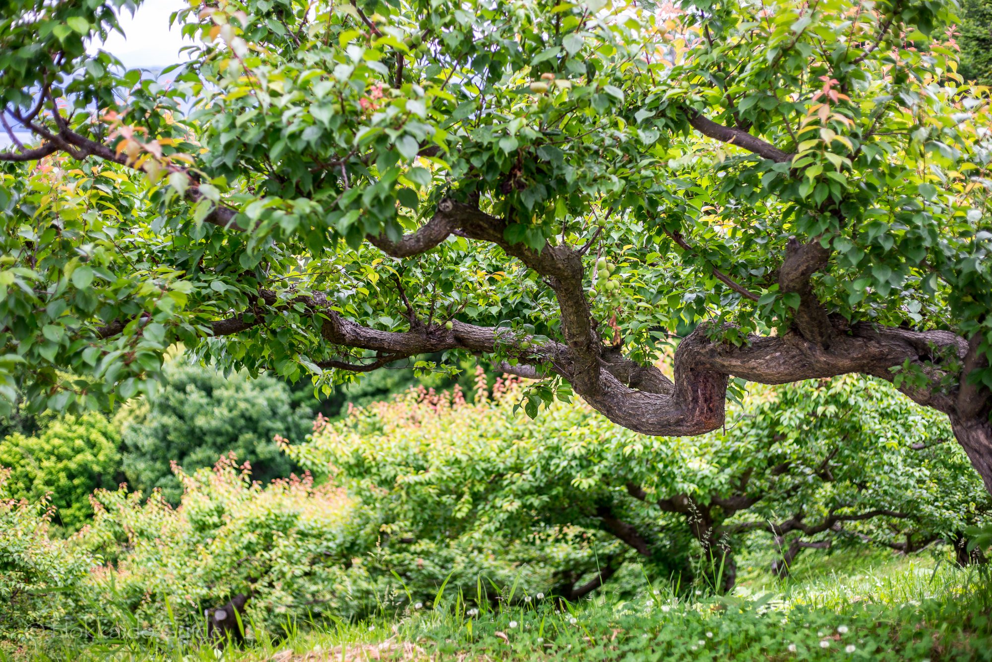
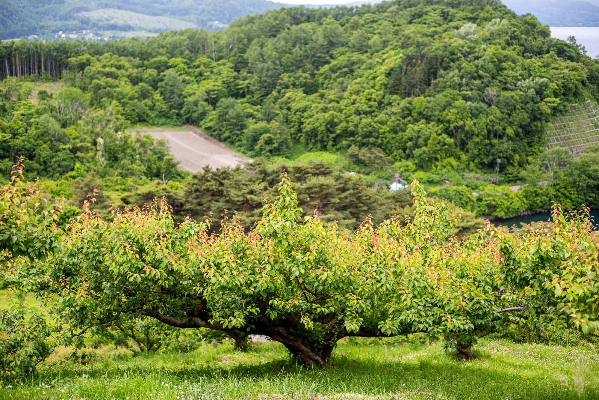
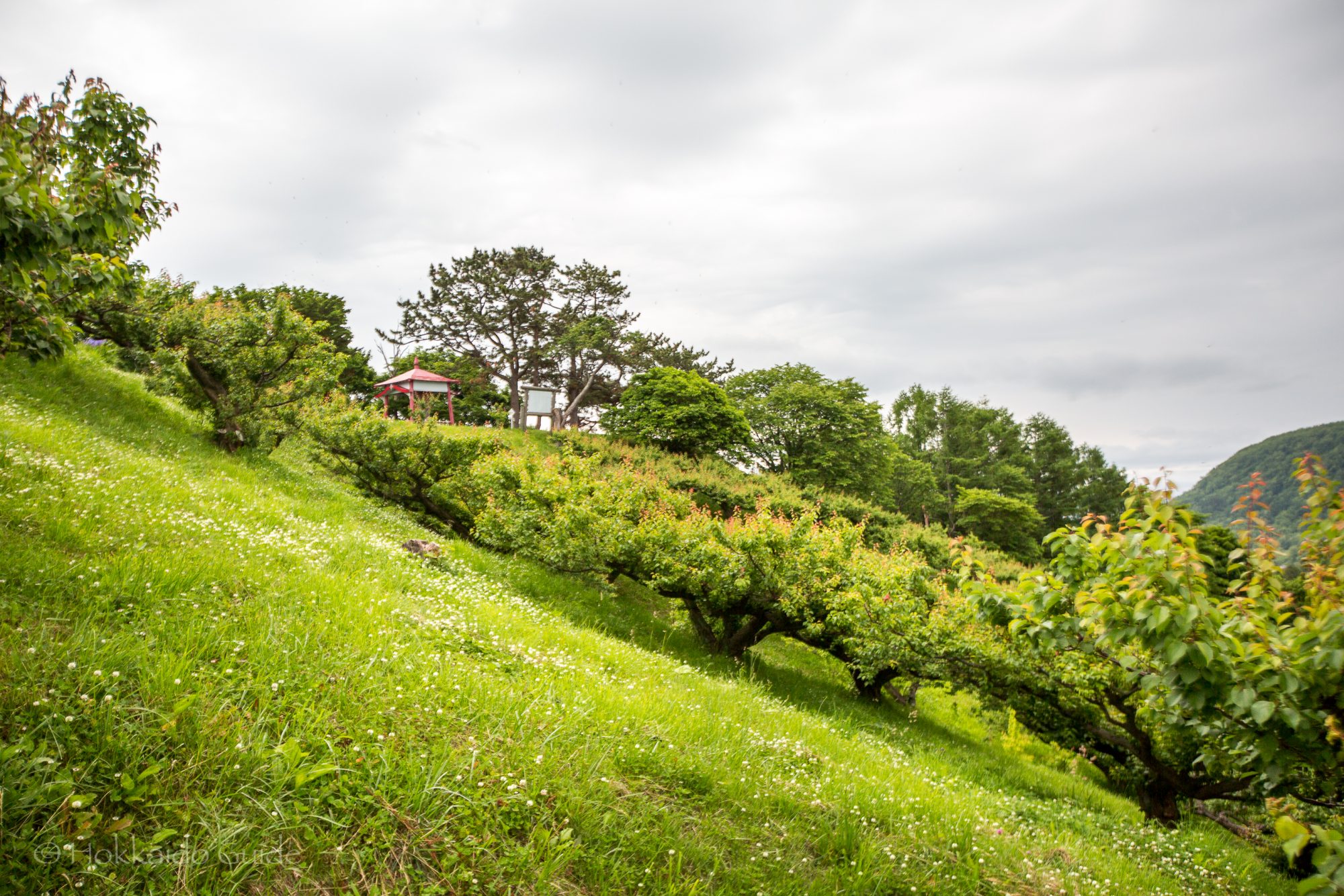
 Not only do the Horomitoge Lavender Gardens have beautiful flowers, but from the top of the hills here, you can get some sweeping views over the city of Sapporo. On the crest of the hill there is a large tree which is the centre piece of the gardens and creates a beautiful photography spot, so make sure you bring your camera! For ¥500 you can cut and take some lavender home. Why not take some of fragrance home or give it as a gift. There are also some lavender products and postcards to buy from a small store located in the gardens. And it being summer, there is a an ice cream shop set up.
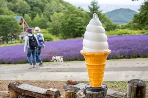


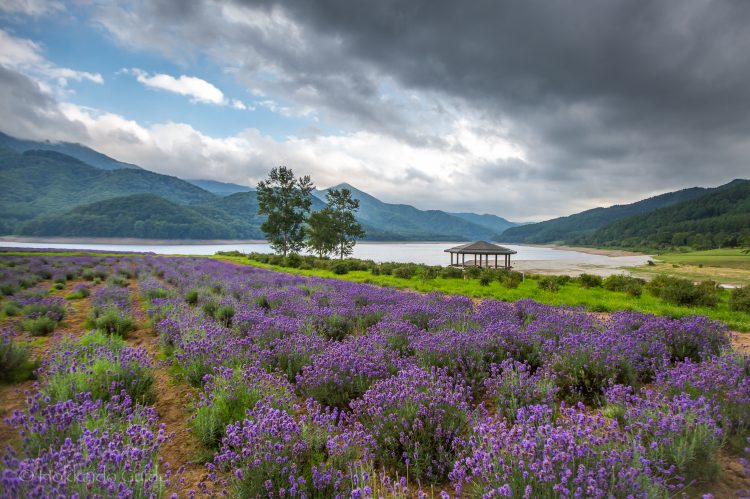

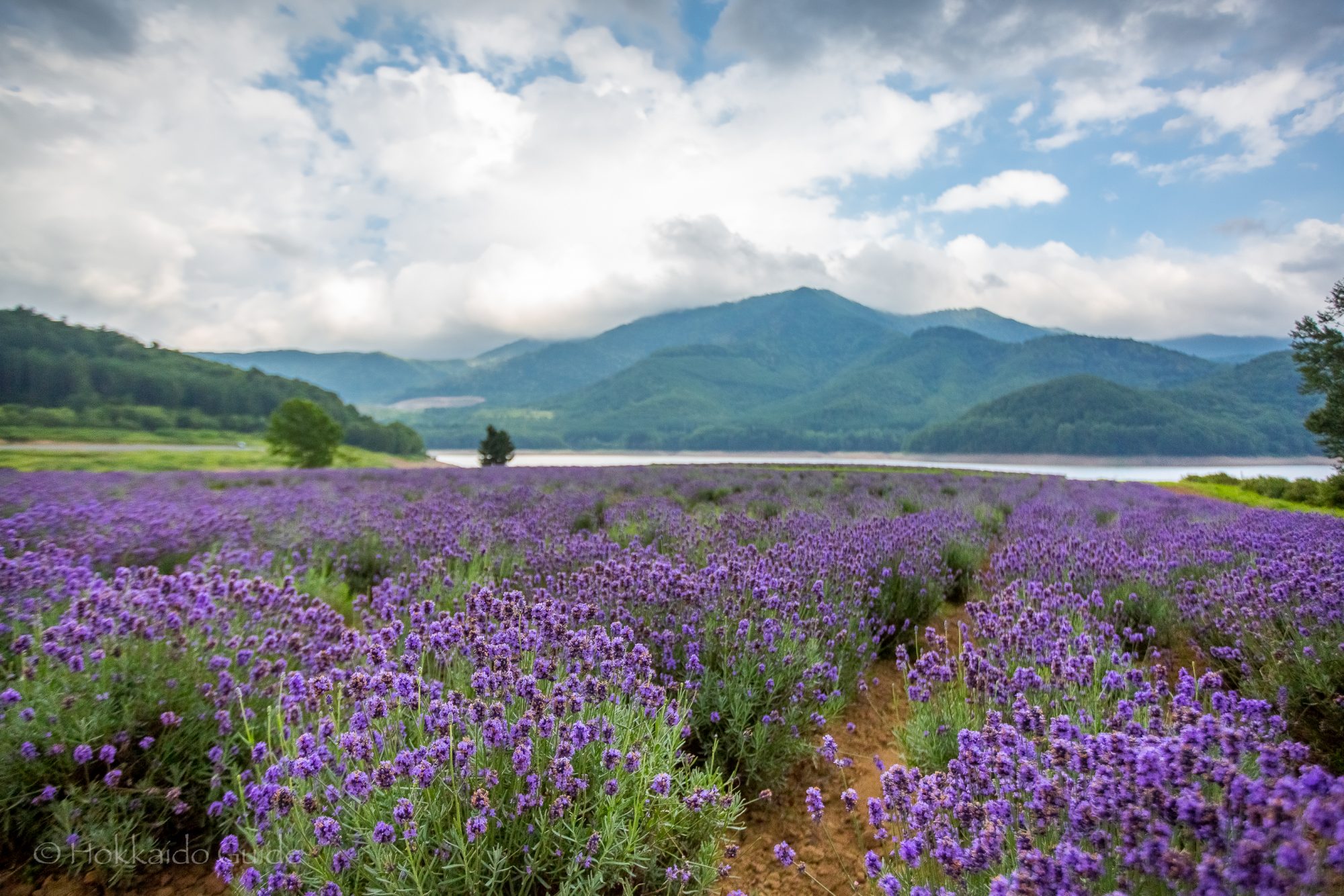
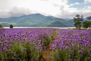 The Lake Kanayama Lavender Fields are found on the shores of
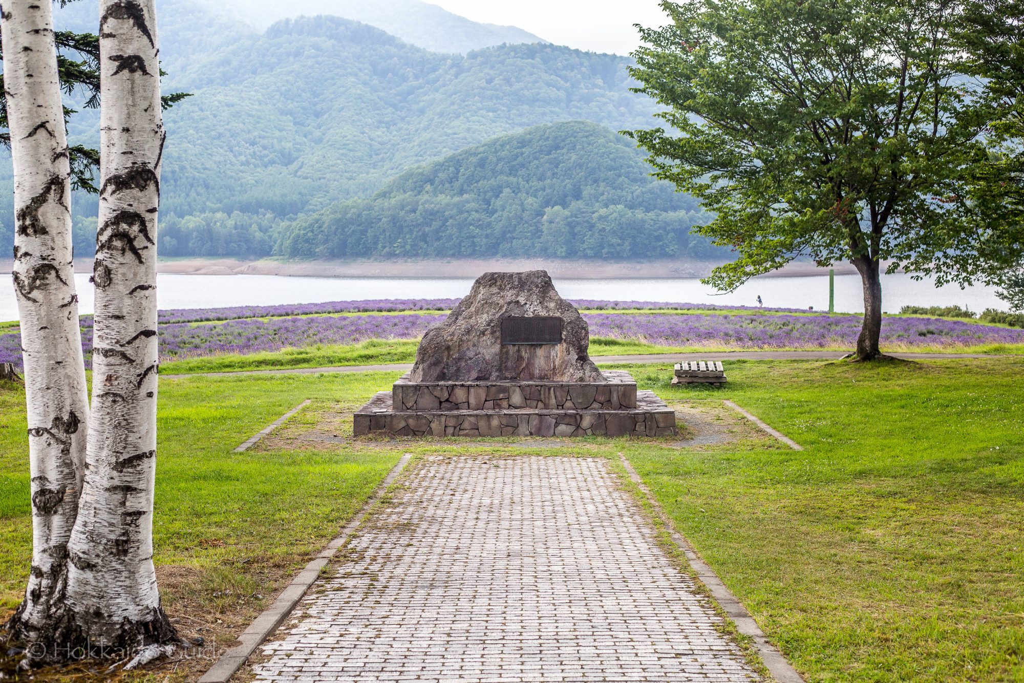
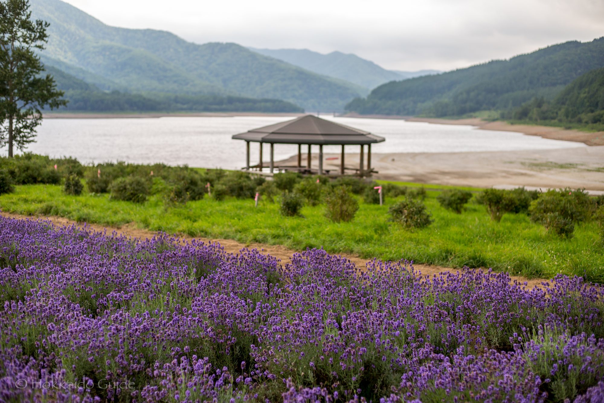
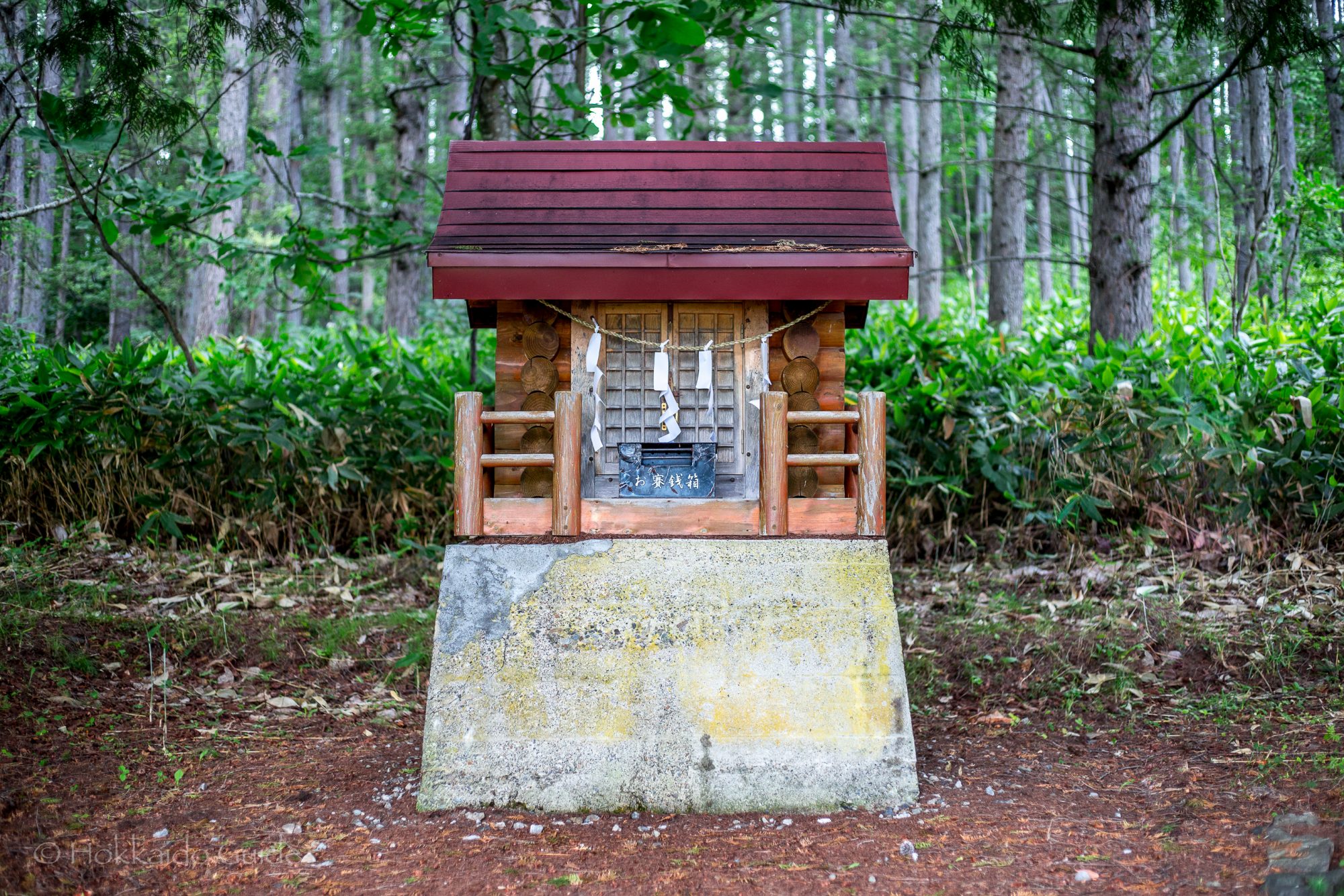
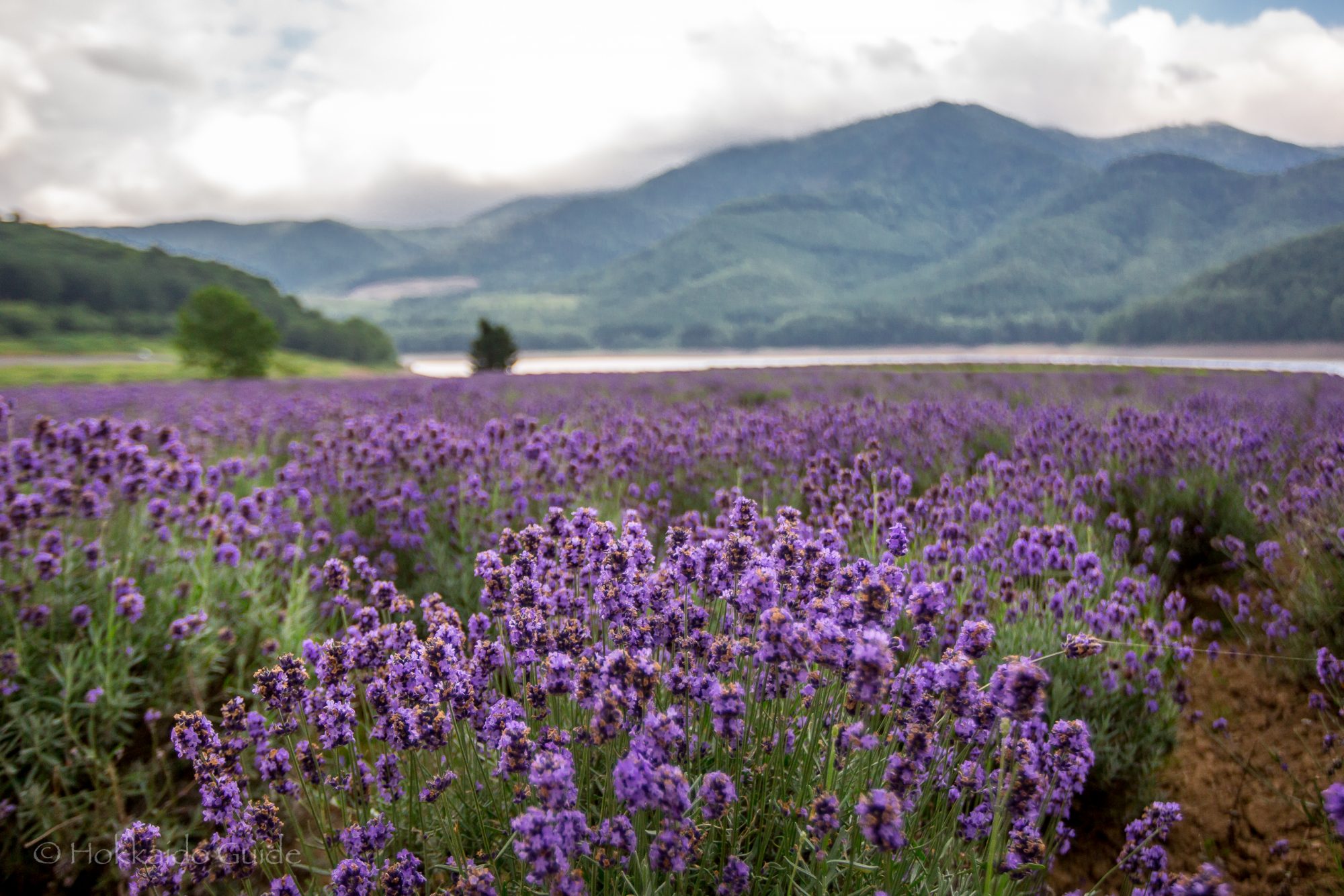
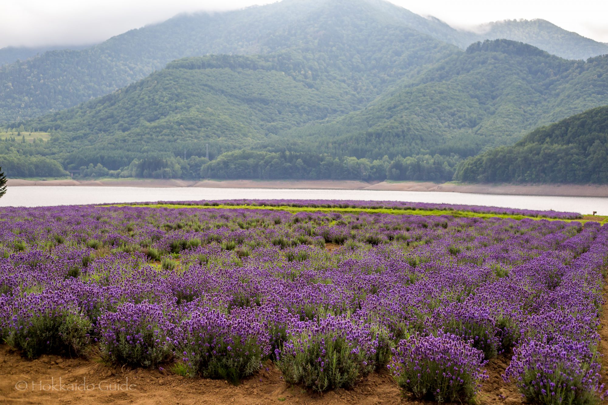
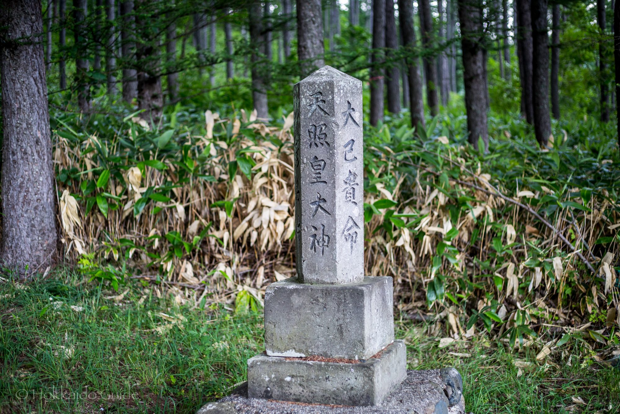
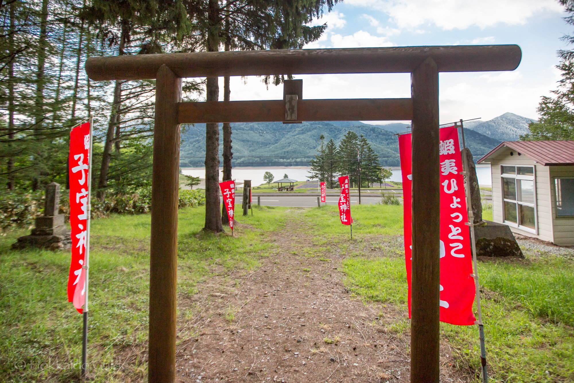
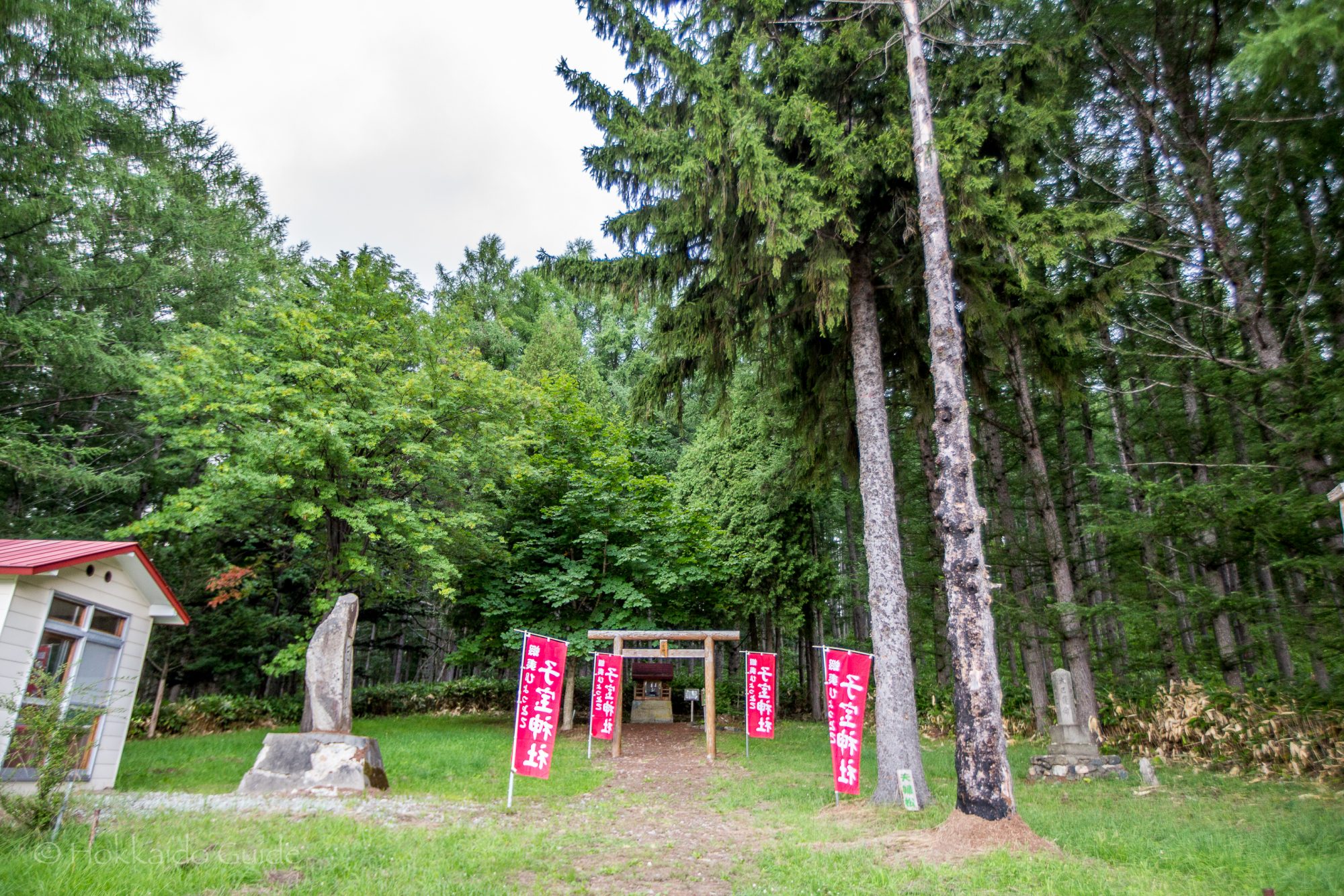
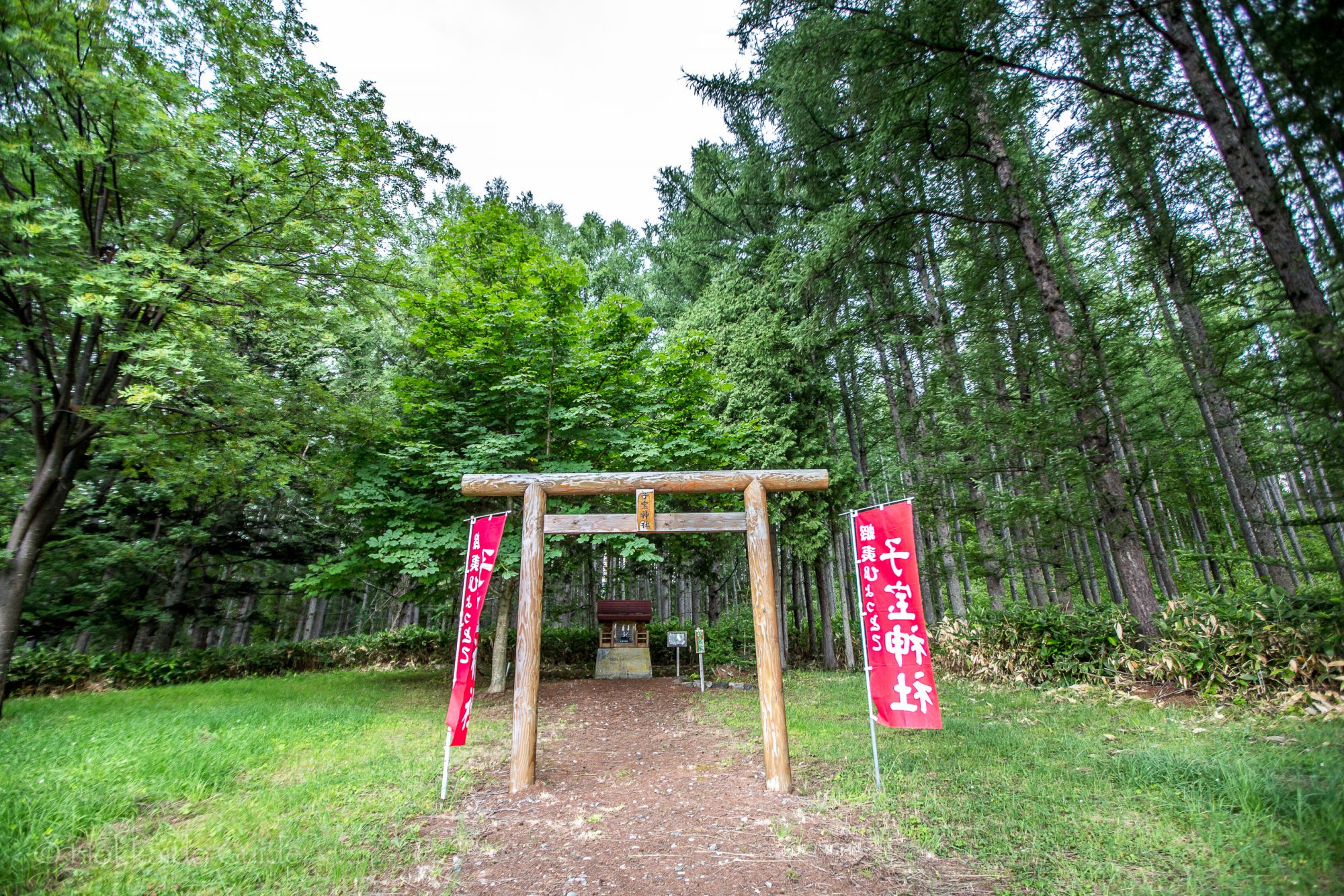
 With plenty of parking, and just being right off route 465, the Lavender Fields are an easy spot to visit. Just make sure to bring the camera! There are a few benches plus a covered table so you can take a seat and enjoy the scenic views. It makes the perfect spot to have some lunch or a picnic. Behind the lavender fields on the other side of the road, there is the Kodakara Shrine. This quaint shrine is surrounded by forest. Though beware, the shrine is home to a huge ants nest and the ground is crawling with ants. So while sightseeing, you will have to move quick! The lavender fields are a few minutes walk away from
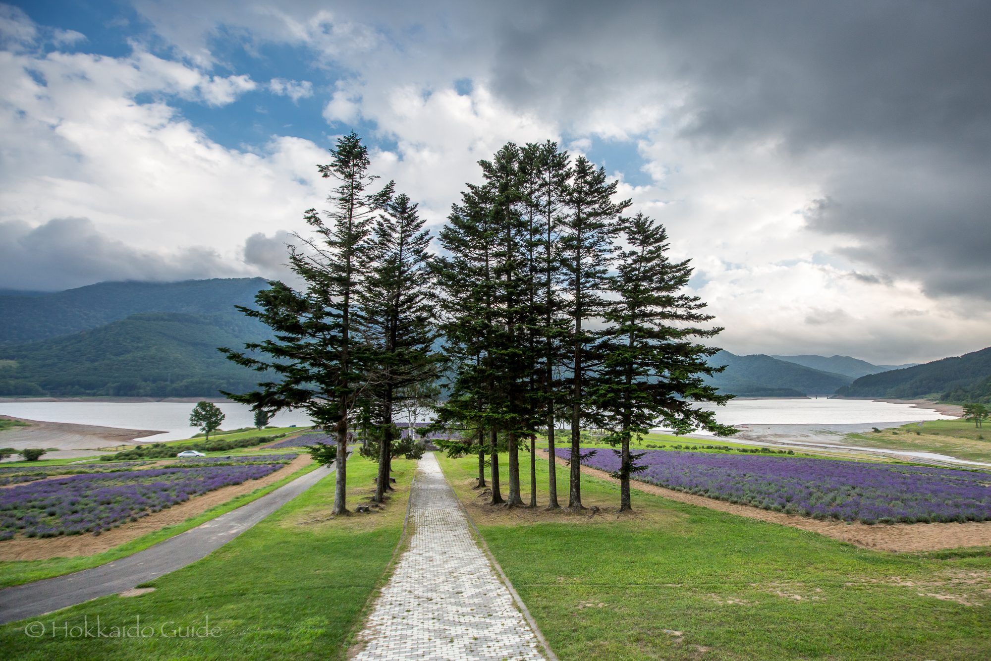


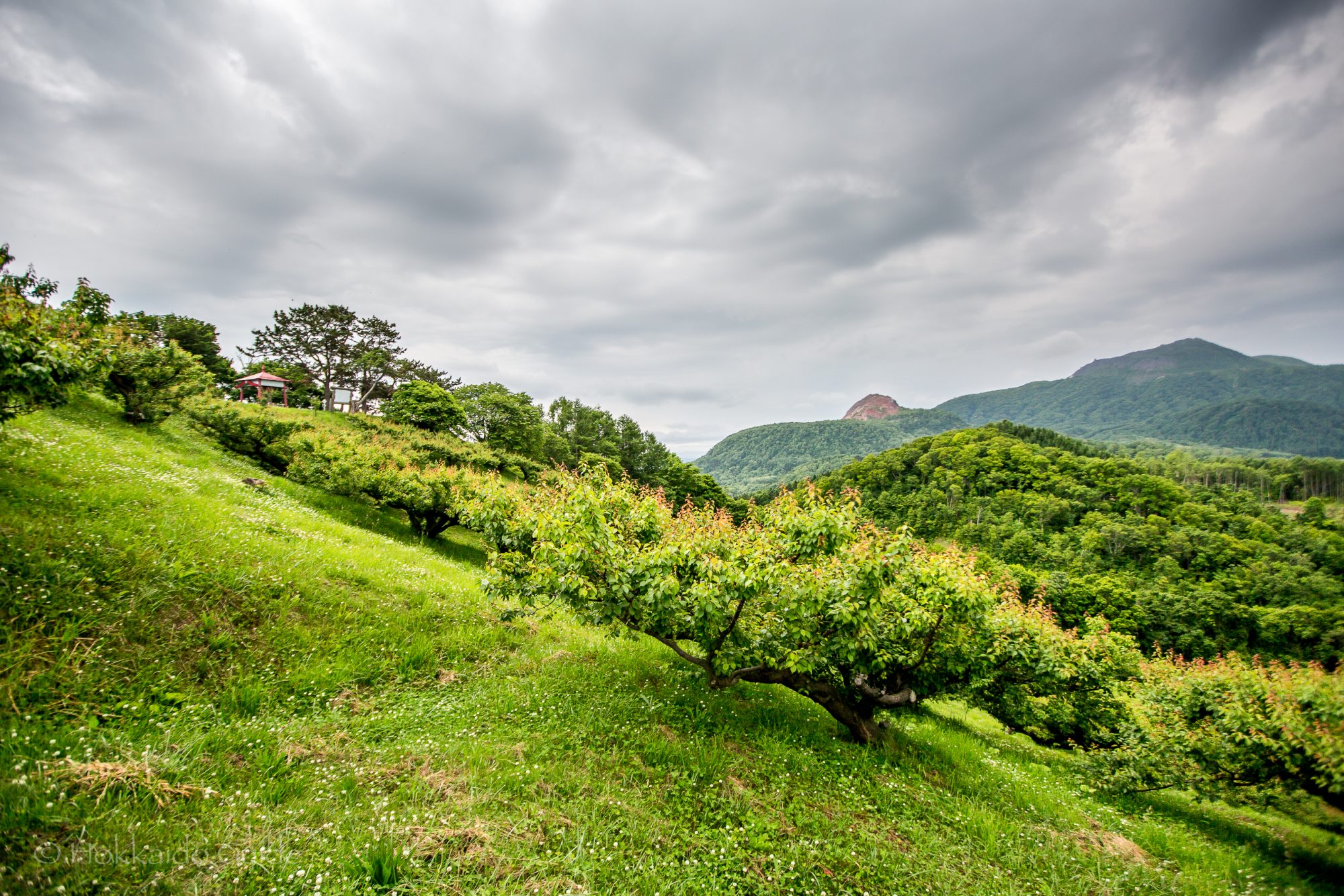
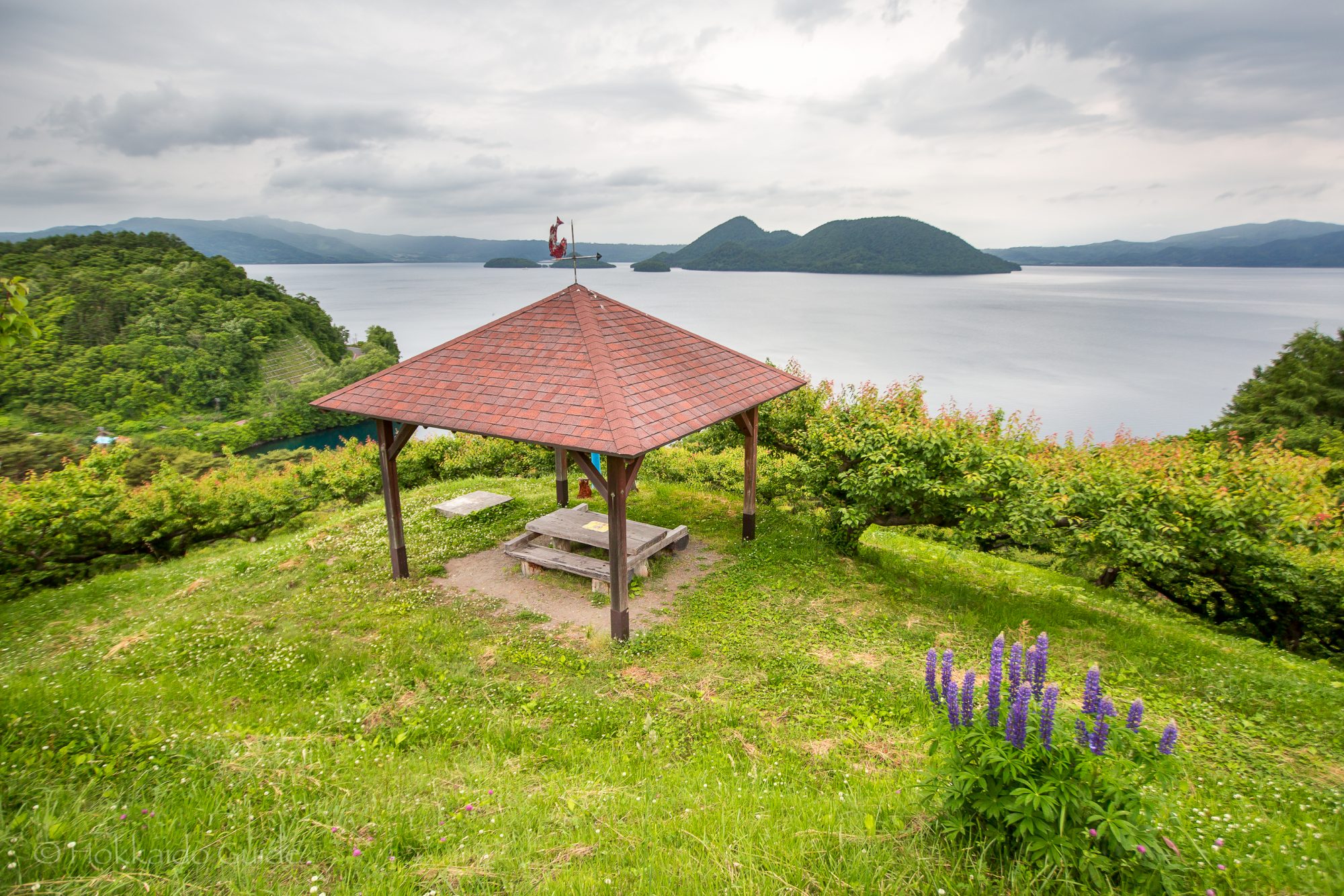
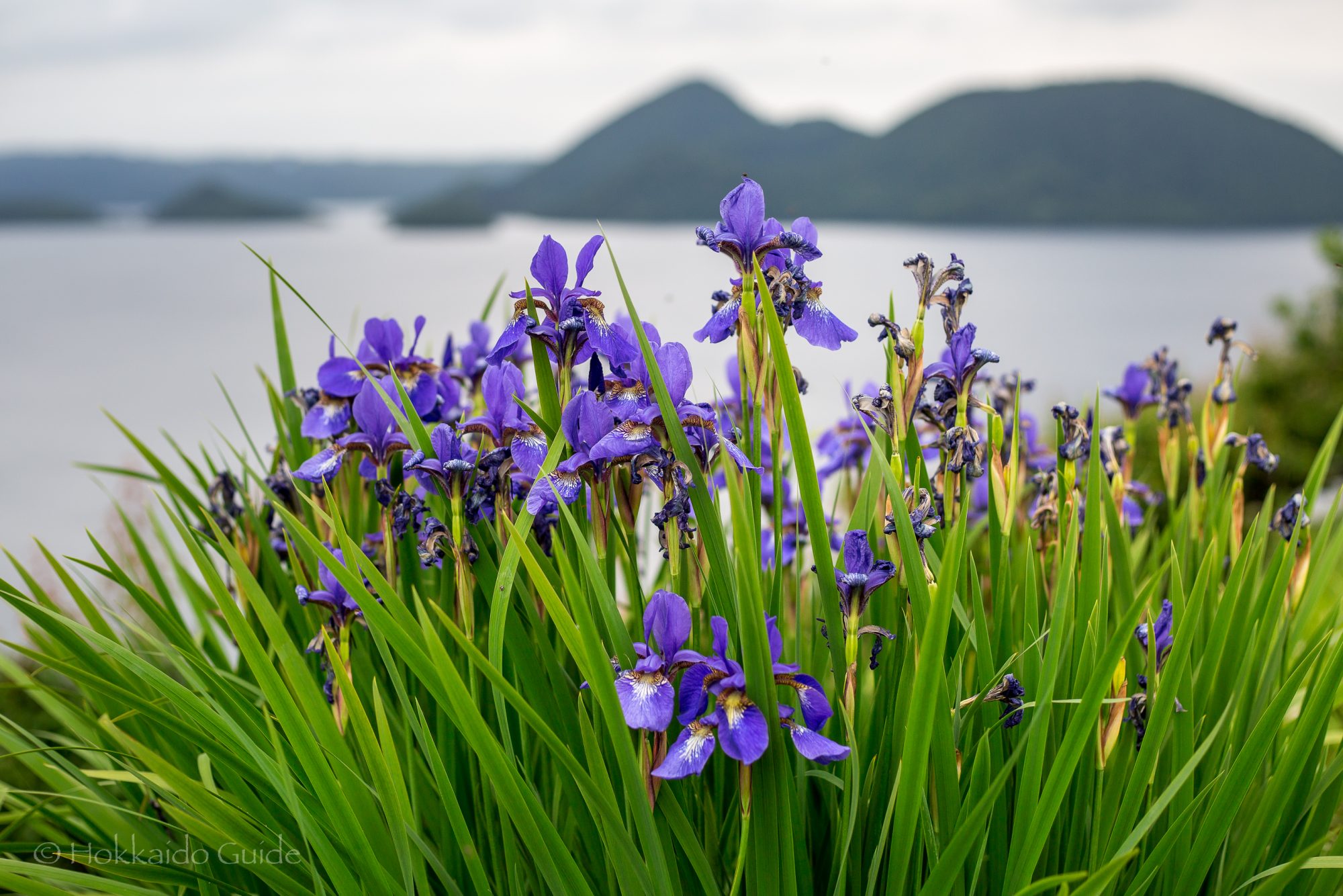
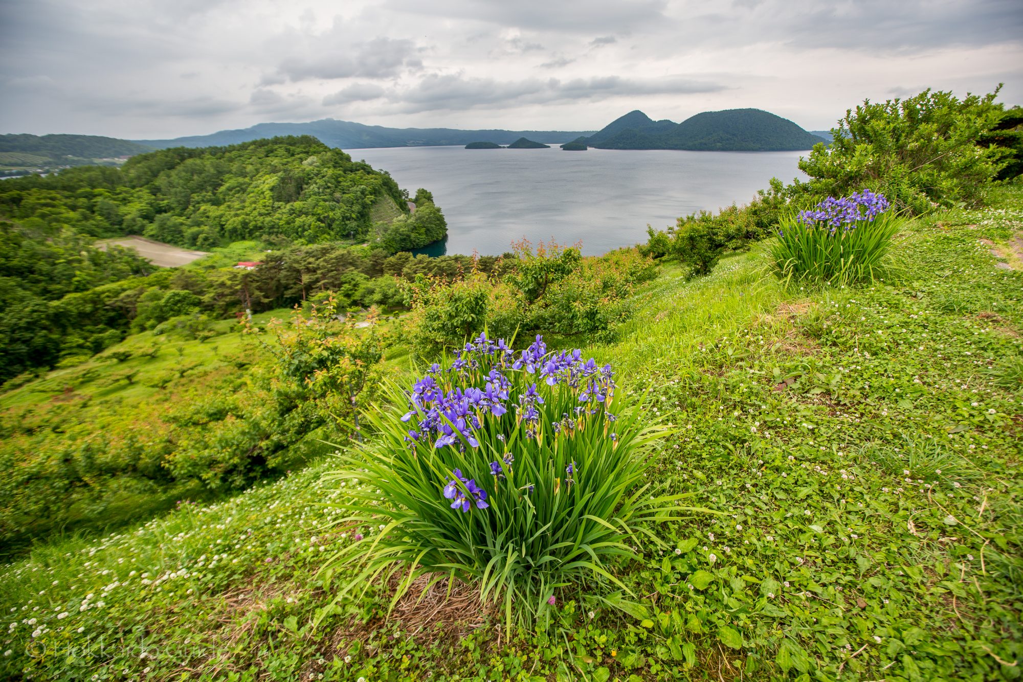
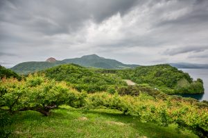 Sobetsu park is a beautiful hilltop park that commands some of the best of views of
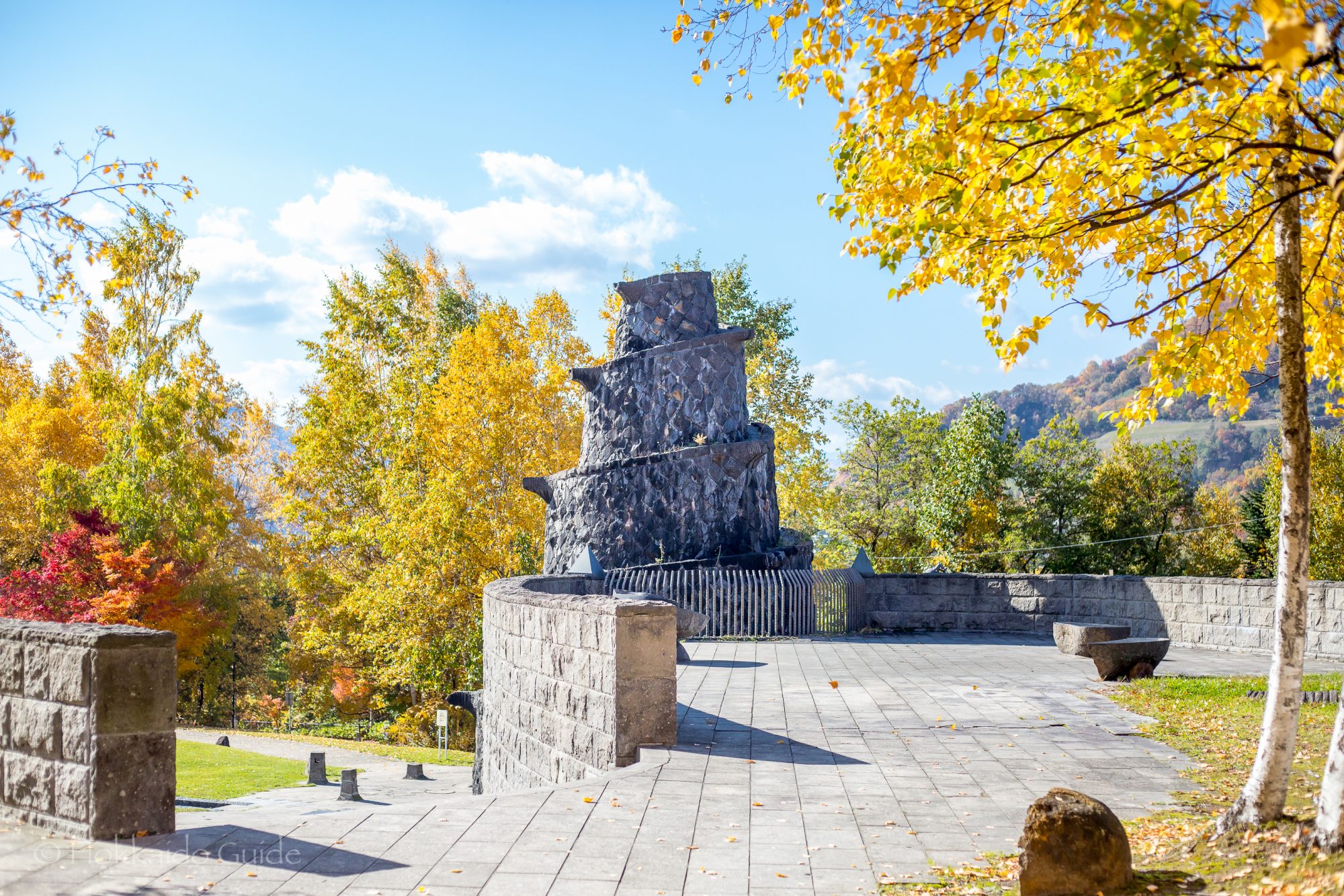
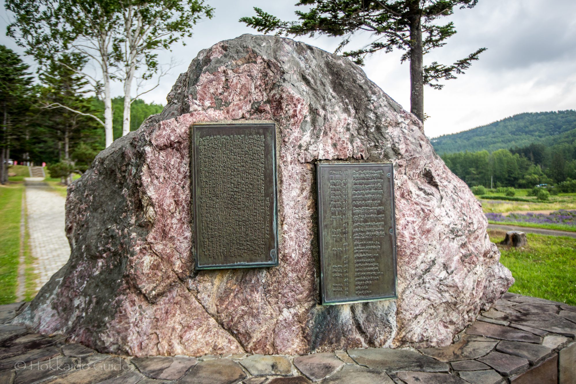
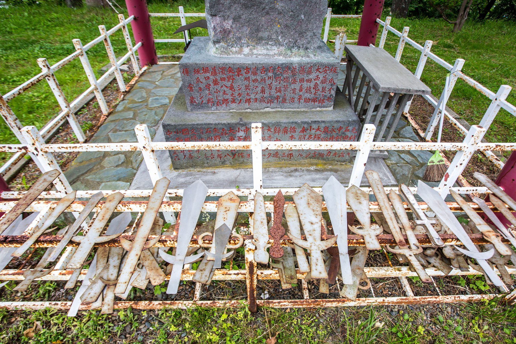
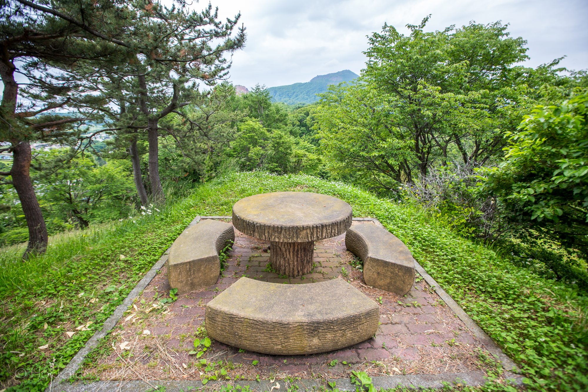
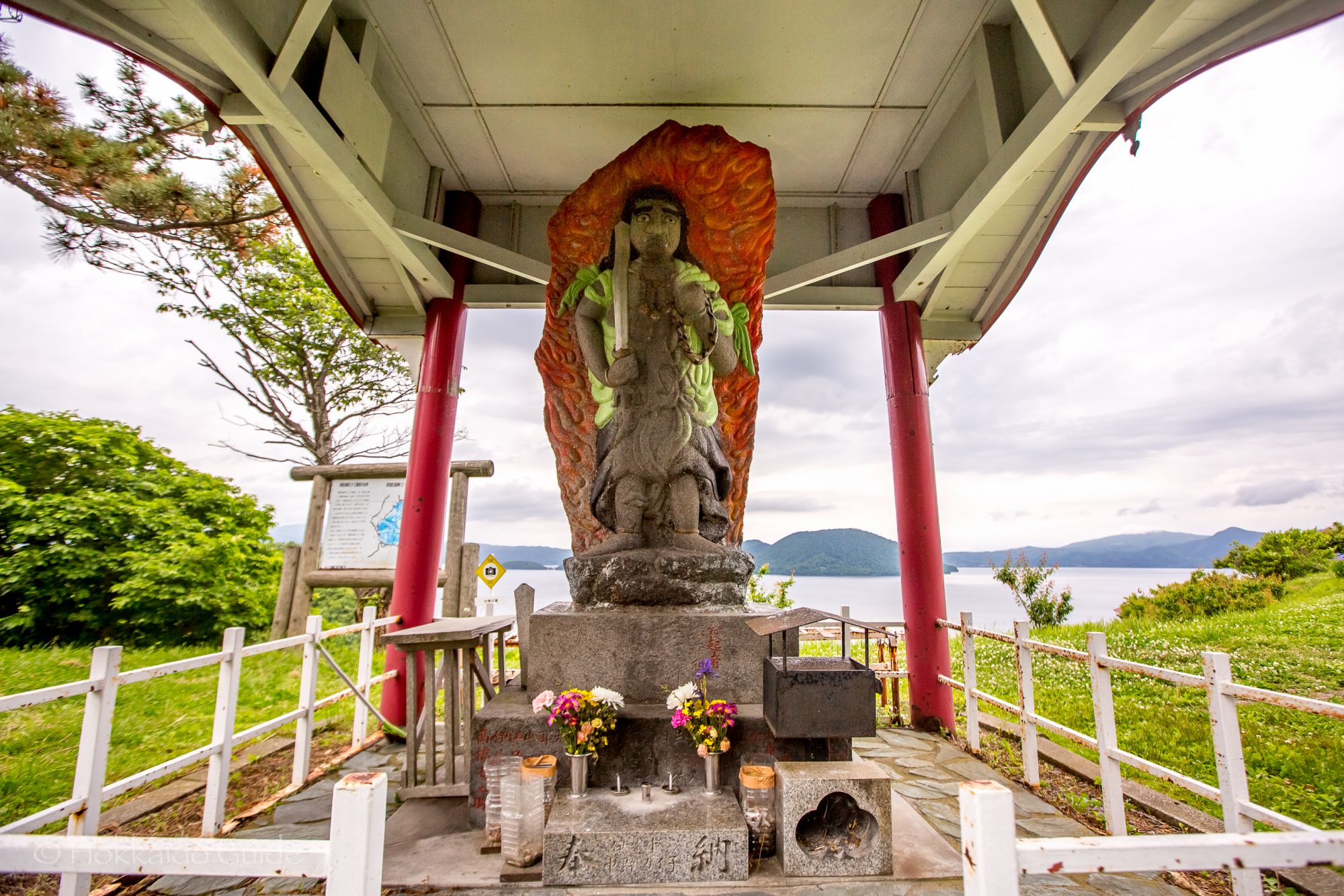
 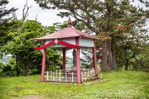 The park is huge and runs up the whole mountain and is adorned with a couple of sculptures. There is a narrow road that leads to the top where you can find parking for about twenty cars. Due to the winding road, it is inaccessible by bus. At the top, there are a few benches and tables and makes for a good picnic spot. Sightseers can also find a small shrine at the top here, which is surrounded, interestingly, by cut out steel swords and knives that have been placed on the fence. In the centre of the shrine, there is a warrior like statue. Sobetsu Park is a great place to take in the views!
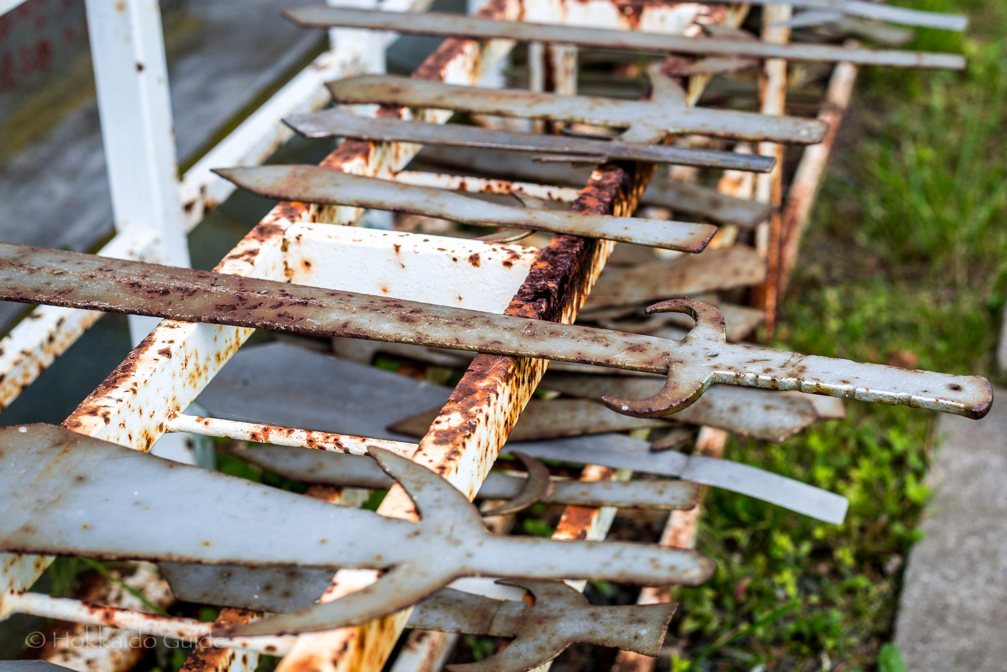
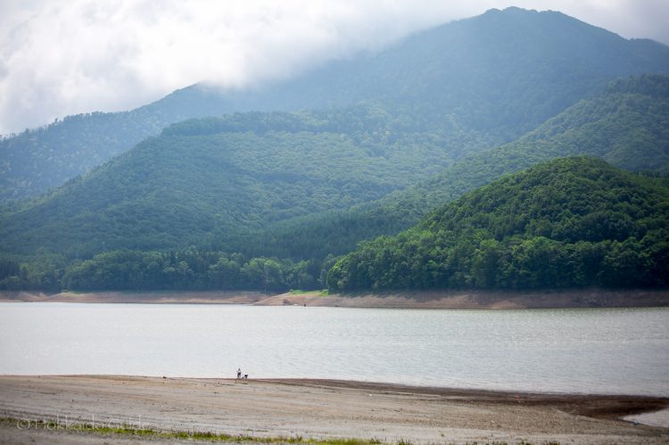

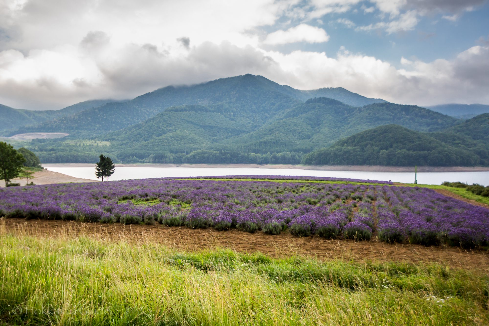
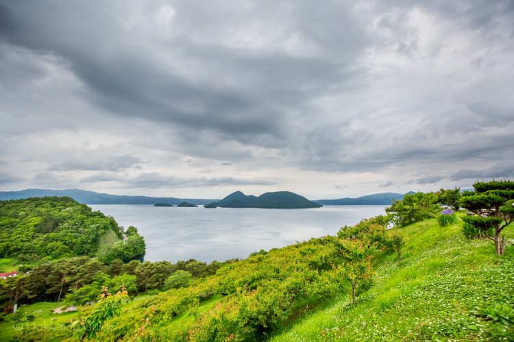
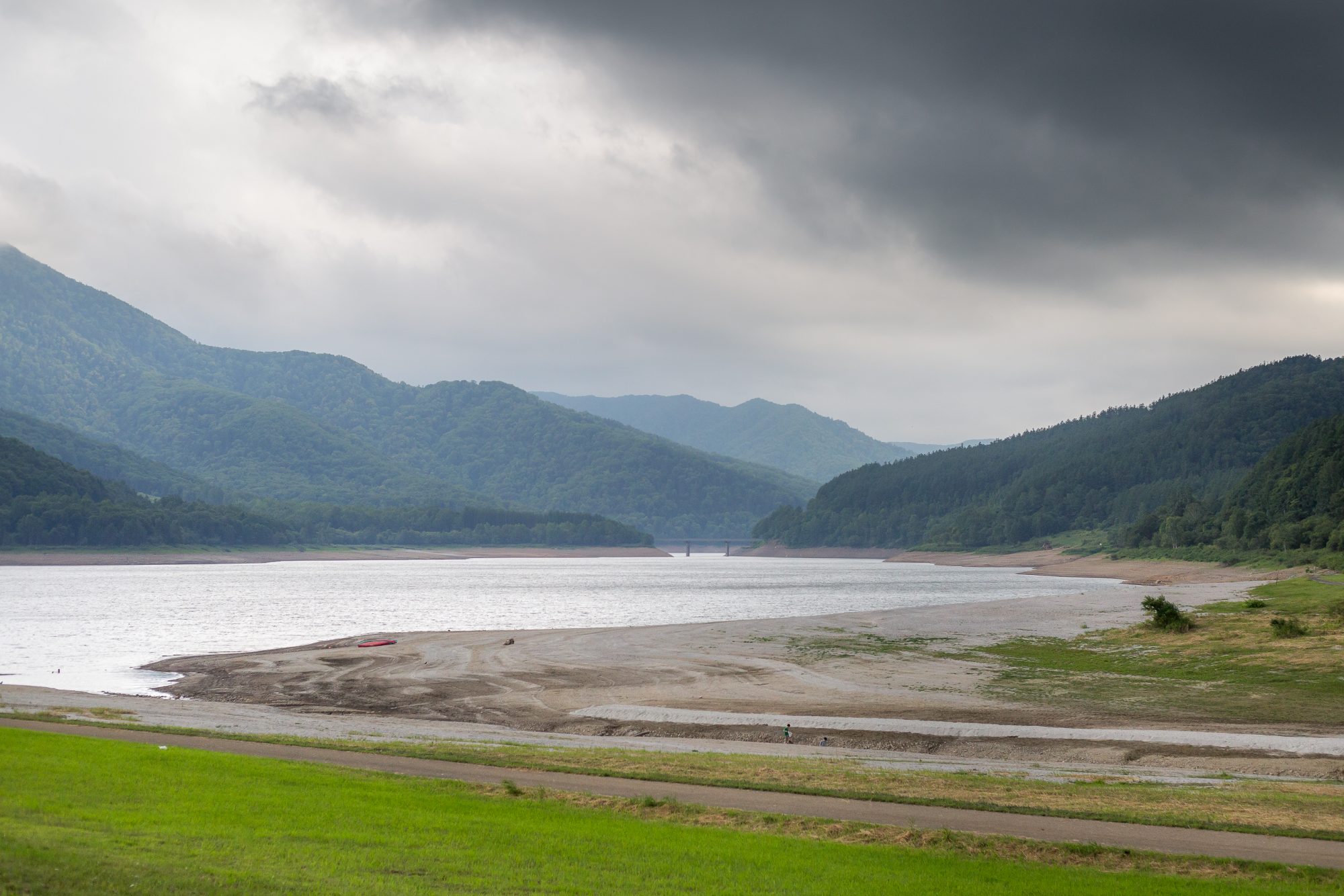
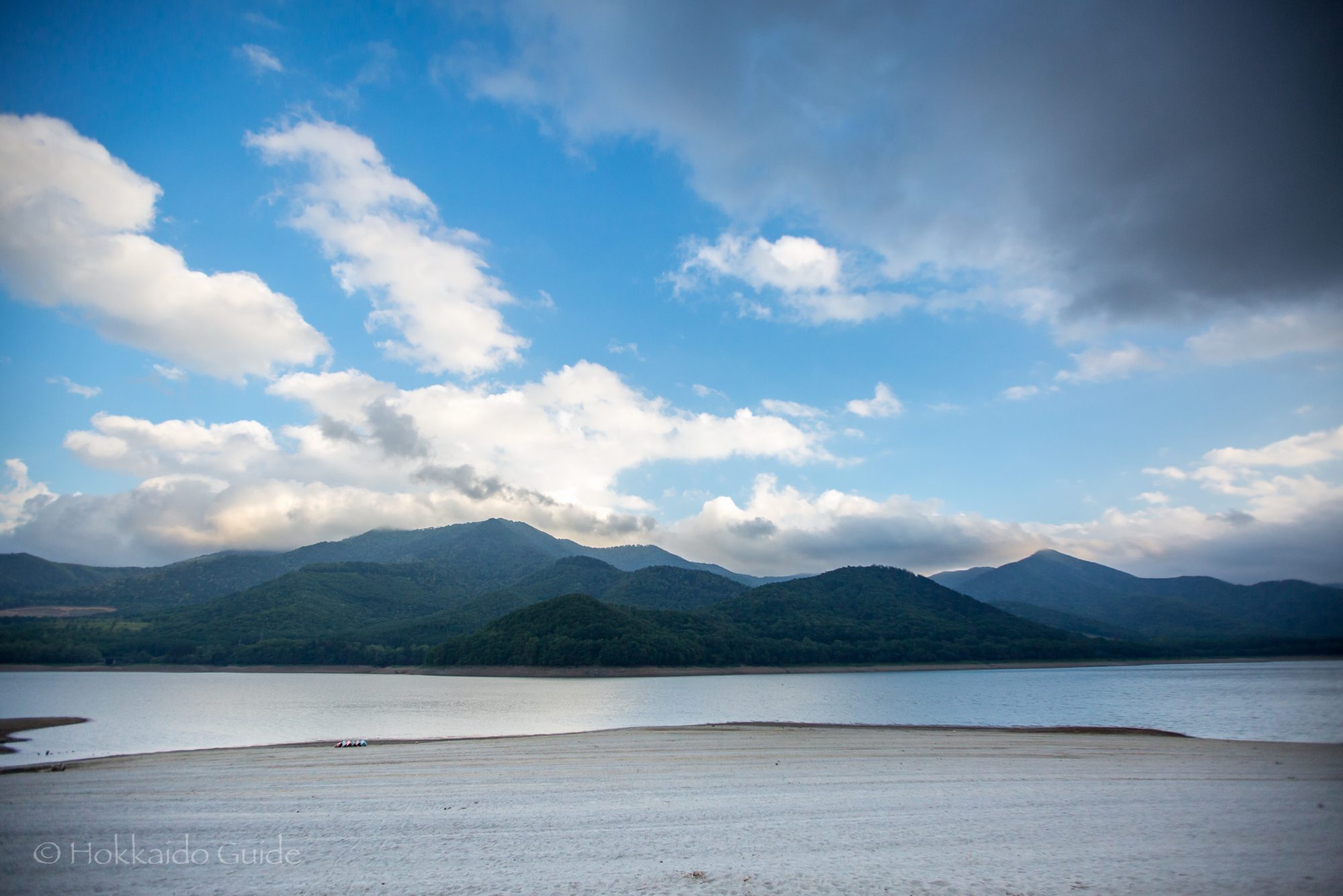
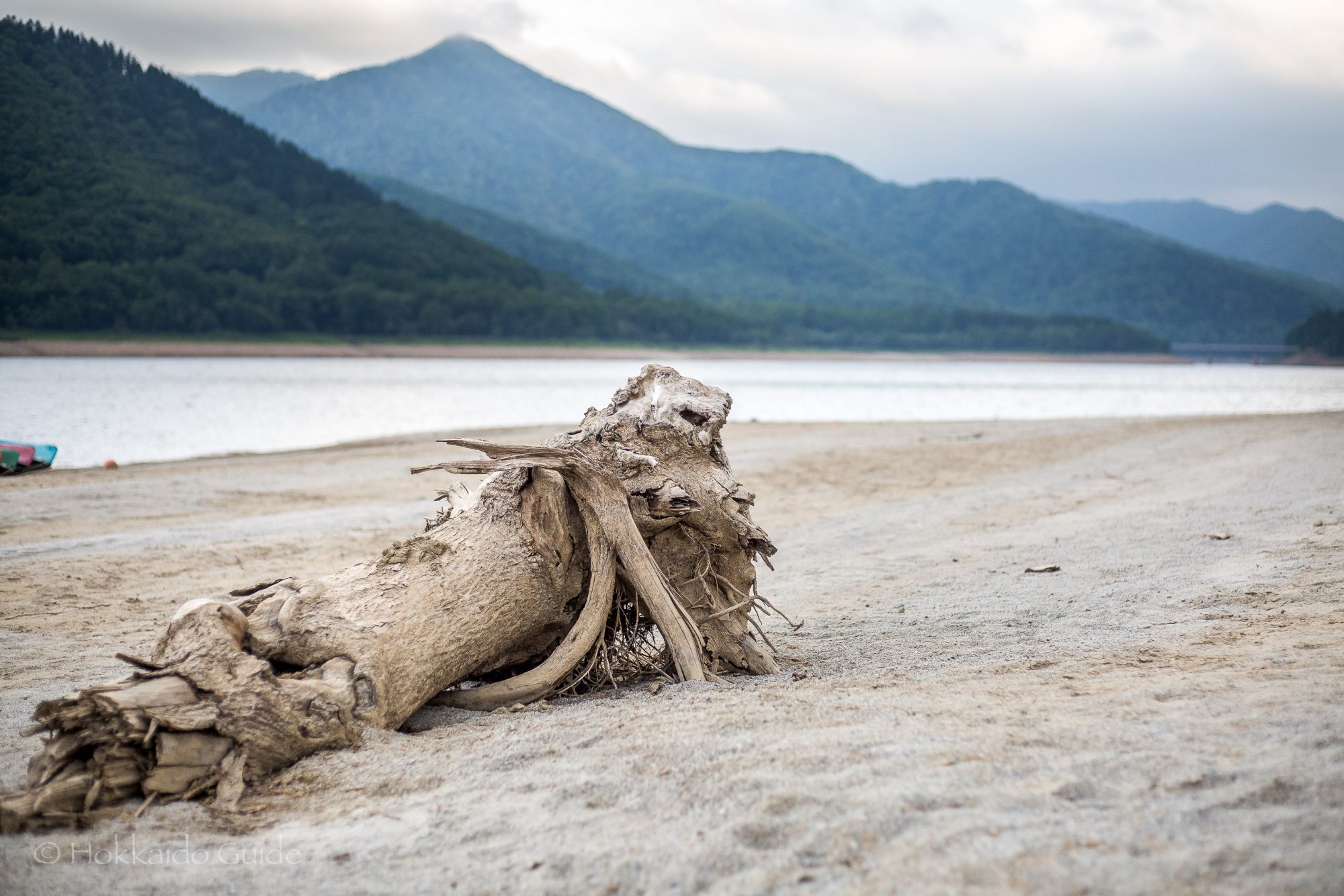
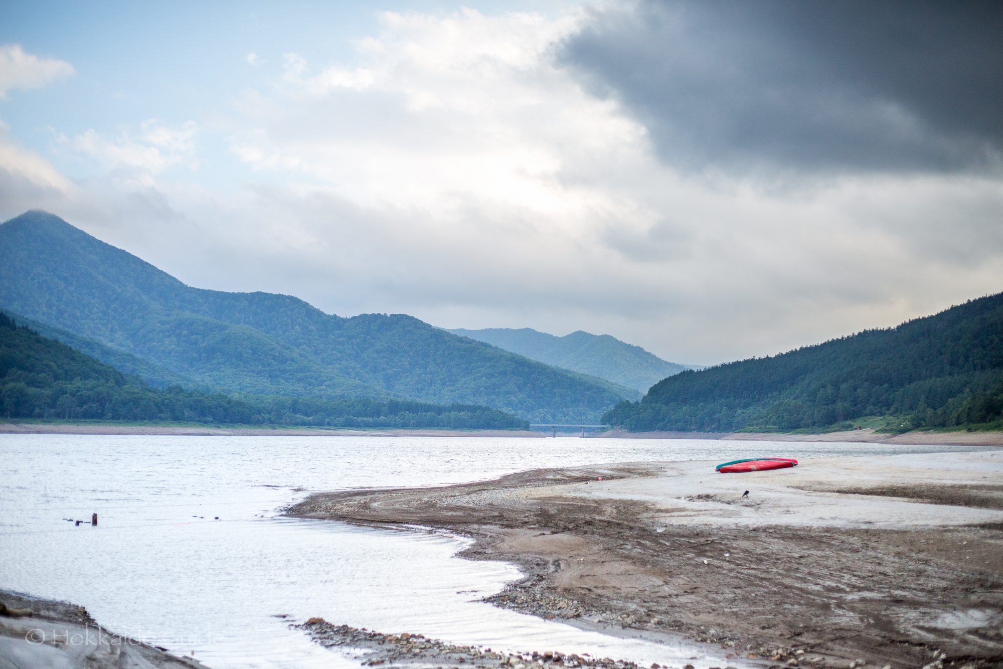
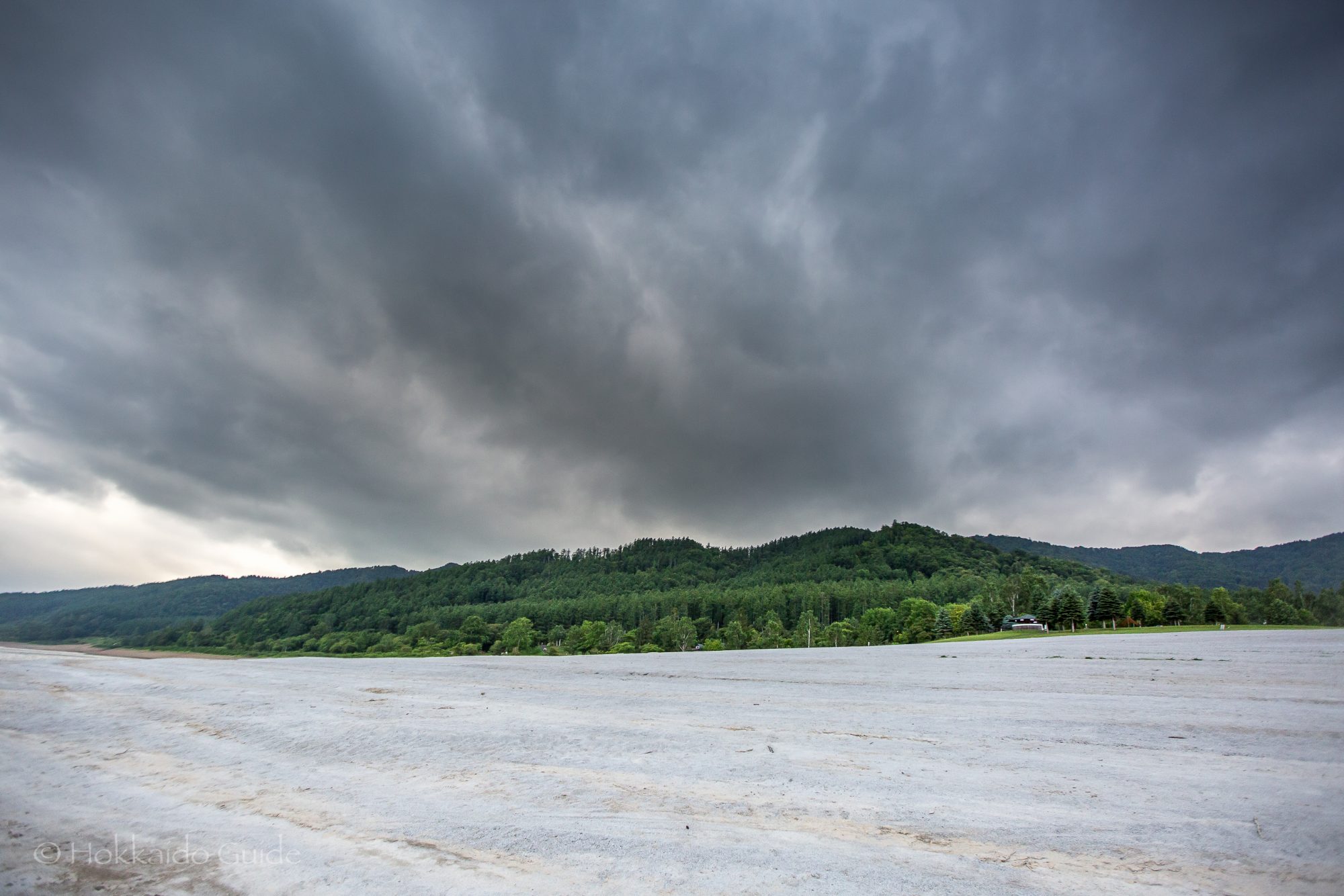
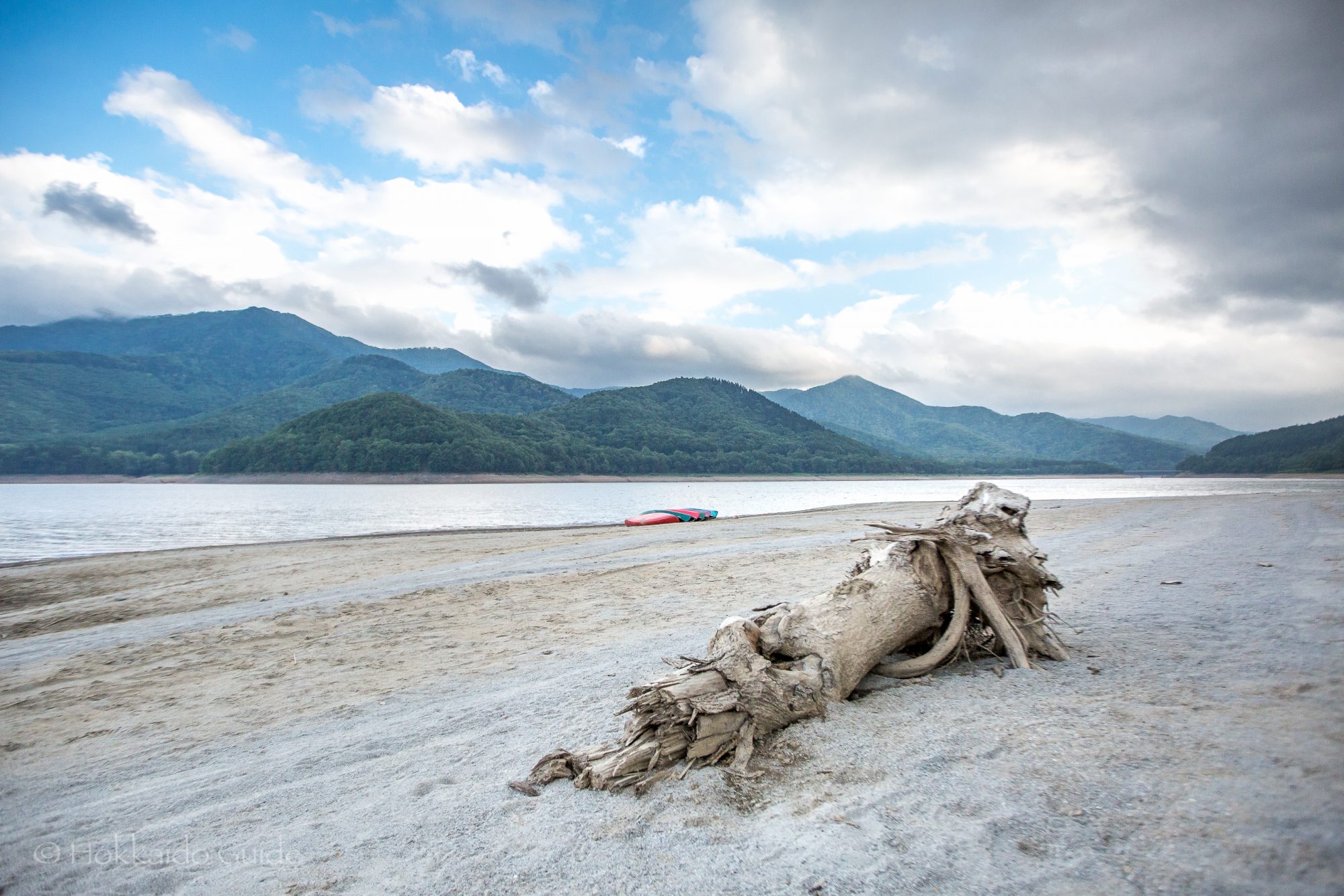
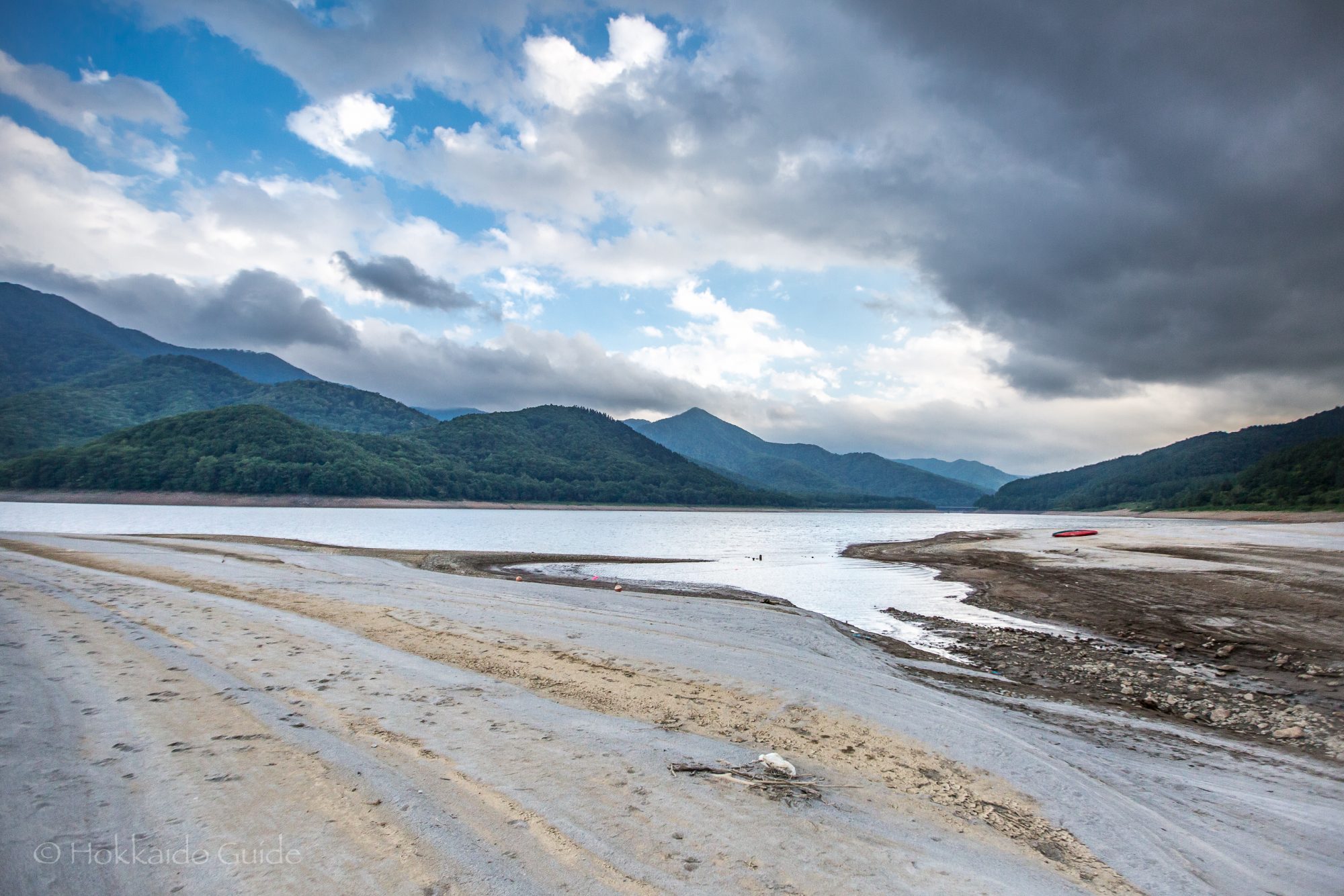
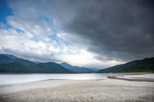 In Central Hokkaido located in the district of Minami Furano you can find the impressive Lake Kanayama. This narrow lake stretches for about ten kilometers and is surrounded by wooded mountains. It is formed from the Sorachi River among half a dozen others. It is a very picturesque place to visit, and is a good stop over point of you are driving from Sapporo to Furano via the backroads. On its central northern edge there is the Kanayama Forest Park, which is home to the
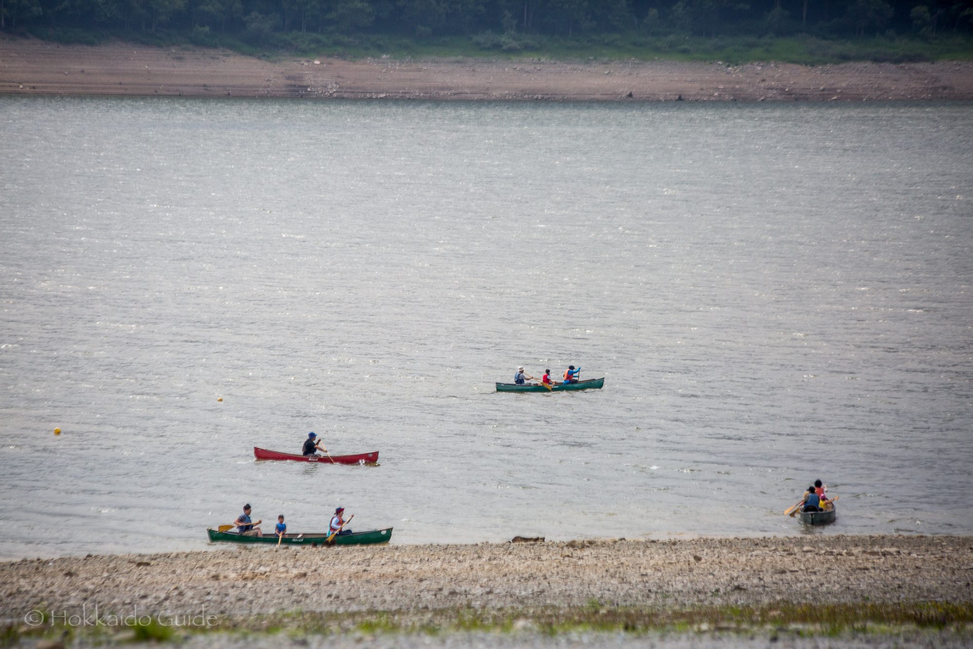
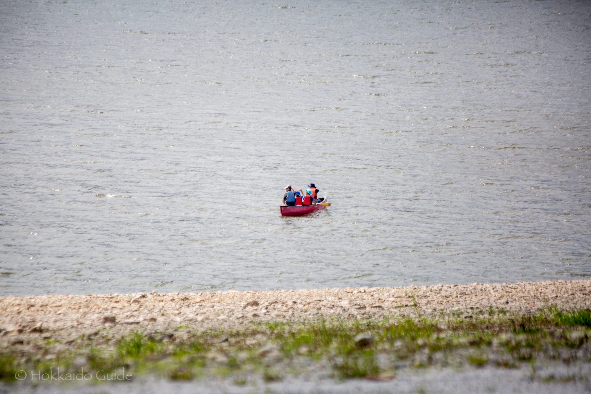
 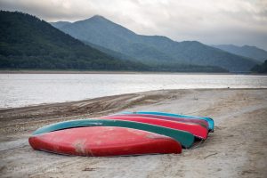 Along the lake you can often find a few fishermen, but if you want to get a closer look on the lake , then there is a fun canoeing tour that is available for the public! To rent out the canoes, you can talk to the staff at the Kanayama Camping Ground, as this is where the tour starts. The large canoes fit a maximum of five people (2 adults and 3 children) and the tour is overseen by a guide. Tours are from April to September and run for 1 hour 30 minutes. The canoes are available from 6:00 until 16:00. Guide, insurance, plus equipment is all included in the price, which is ¥5000 per canoe (cash only). There are five canoes so a maximum of up to 25 people!
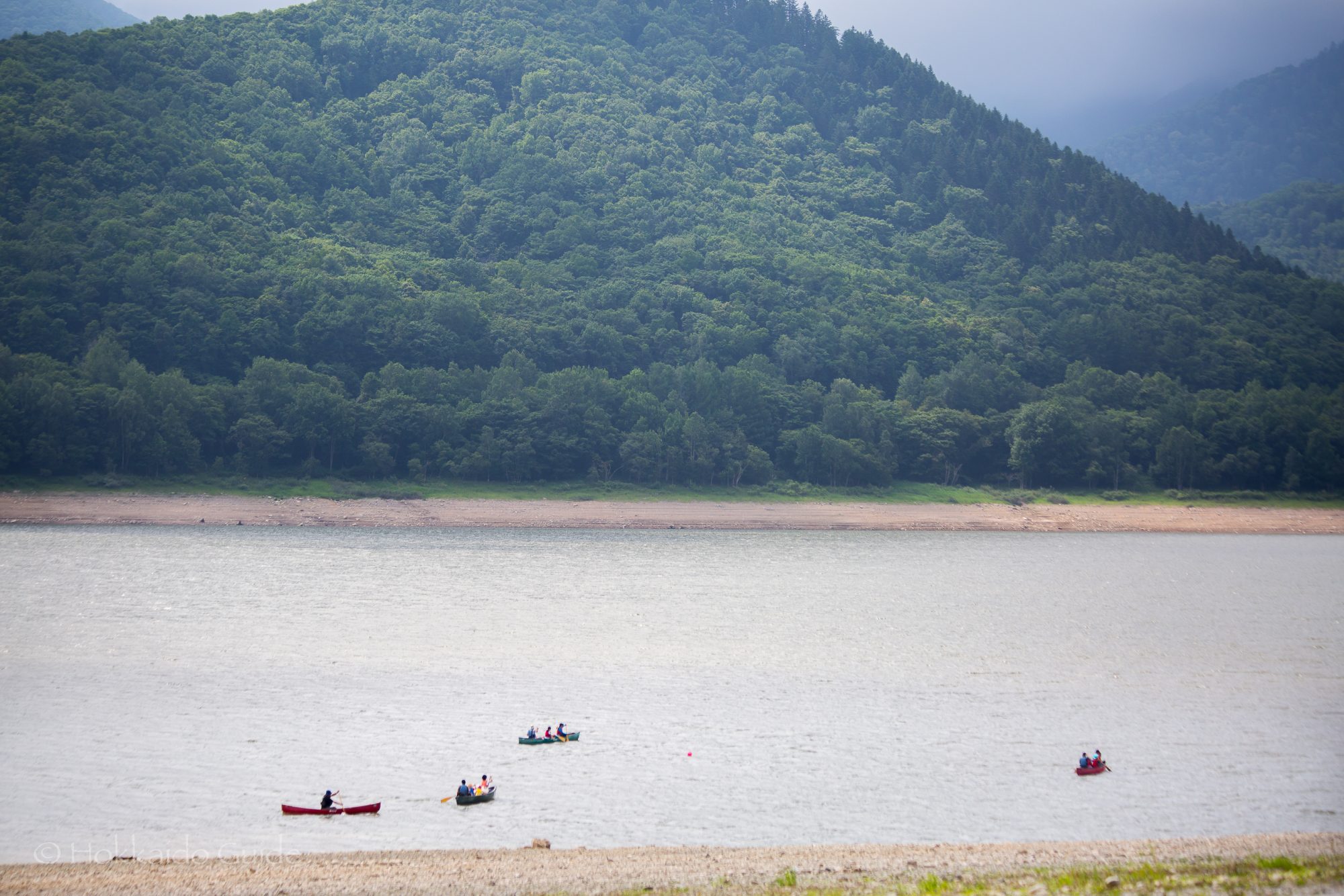
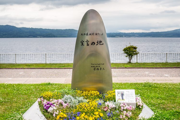

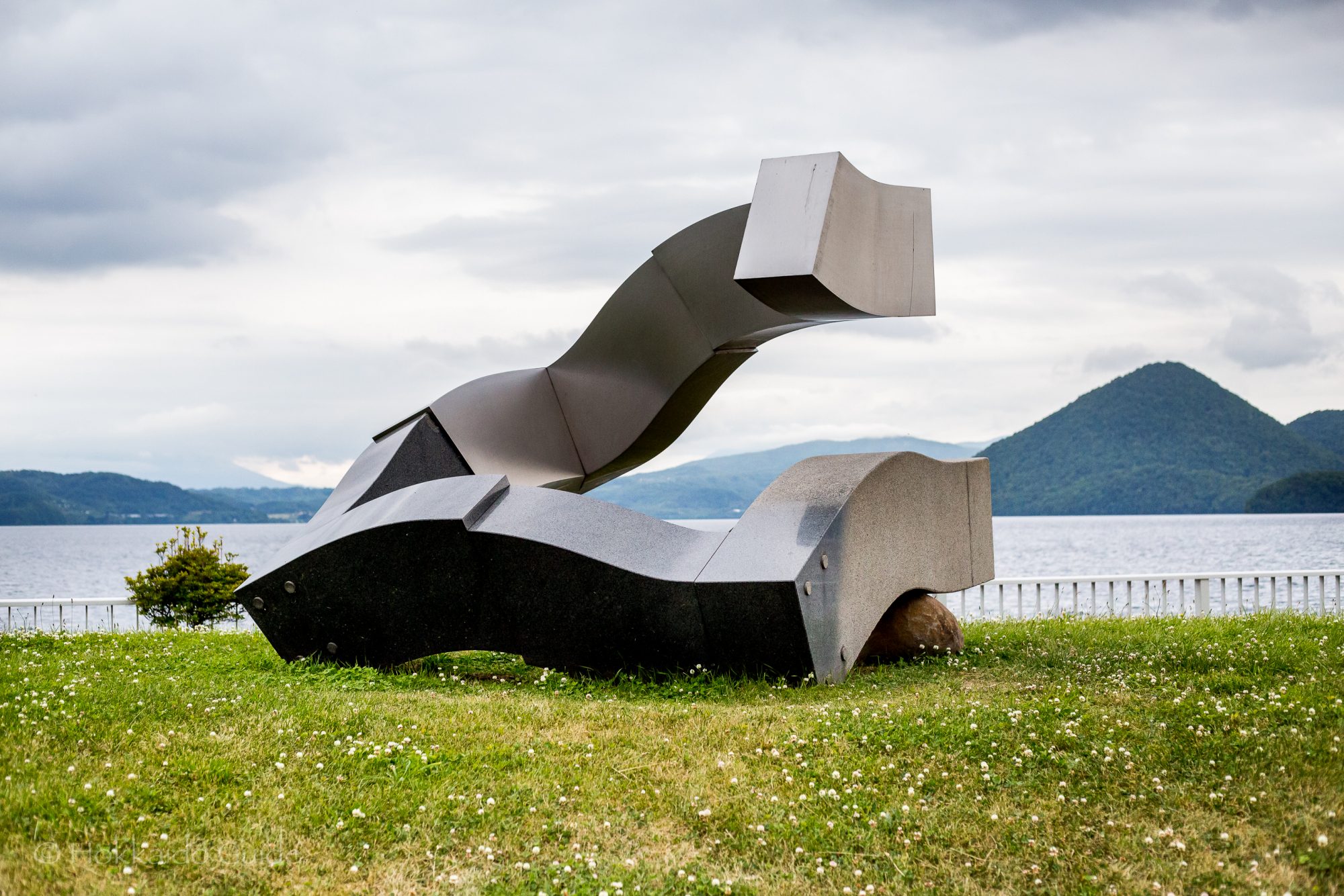
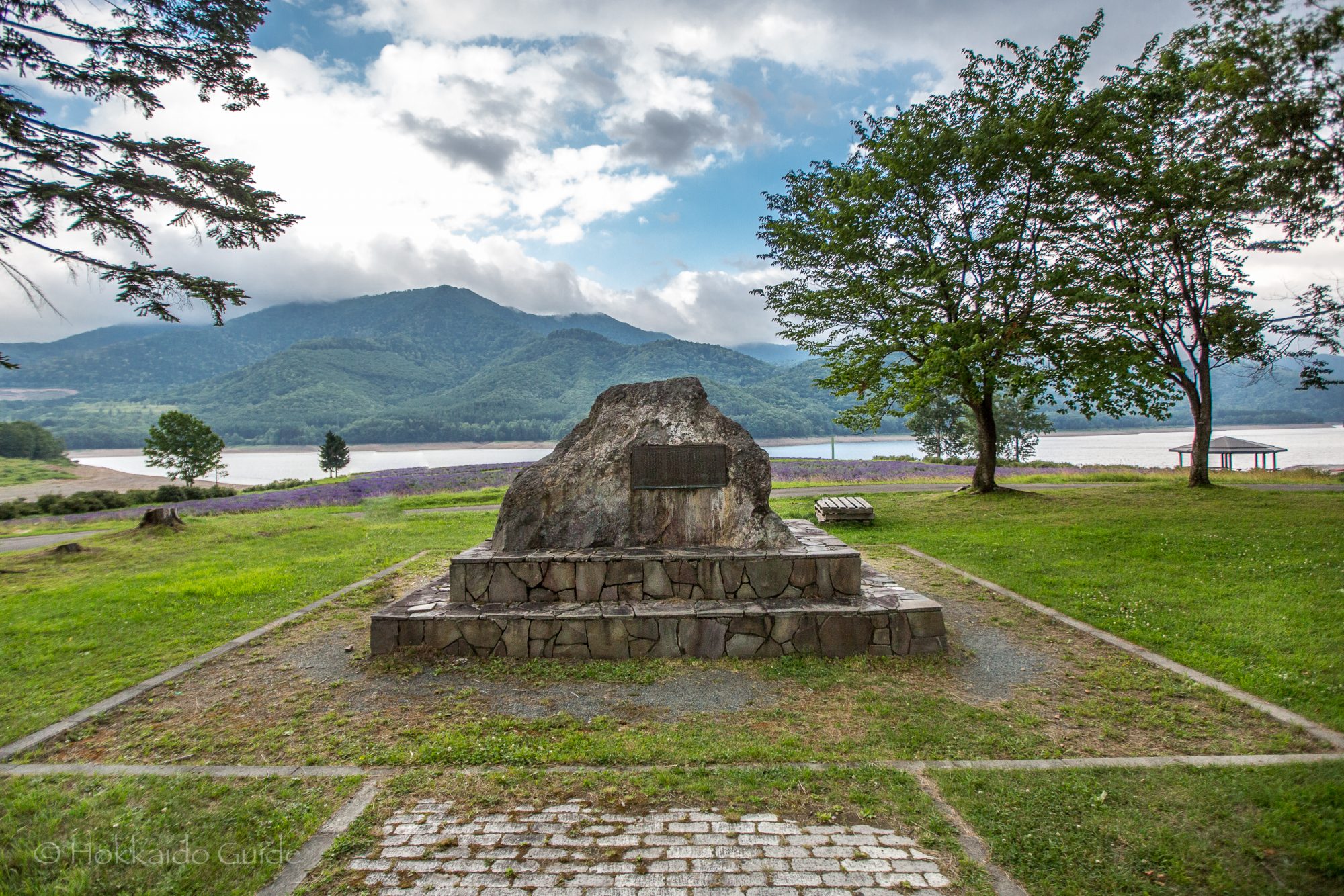
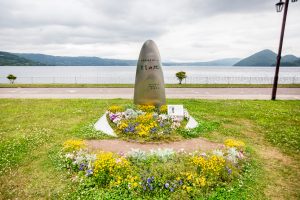 On July 7th to July 8th of 2008 the 34th G8 Summit was held at Lake Toya. This unofficial annual forum saw the leaders from Canada, the European Commission, France, Germany, Italy, Japan, Russia, The United Kingdom and the United States. The 34th G8 summit was the very first summit for British Prime Minister Gordon Brown, and the then Russian President, Dmitry Medvedev. The summit was also first and only summit for Japanese Prime Minister Yasuo Fukuda, and the last for U.S President George W. Bush. This was the first G8 summit ever held in Hokkaido.
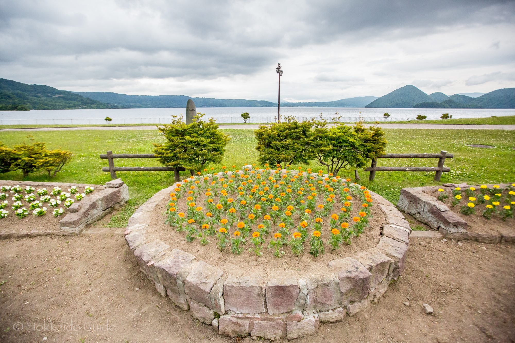
 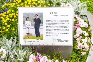 In July 2008, a monument decorated with flowers stands at the place where the Hokkaido Toyako Summit (Main Summit) was declared . The monument can be found in the Lake Toya Onsen district on the southern shoreline, and is part of the