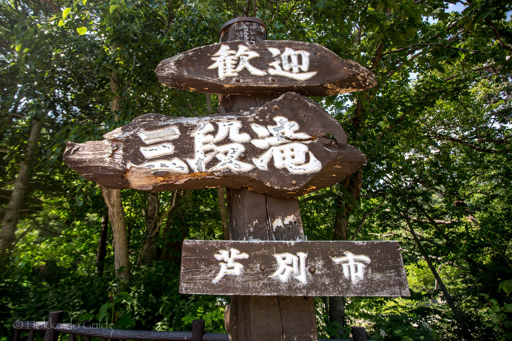
Haunted Yubari School
Posted on
For those who enjoy haunted stories, like dark and eerie places, and are ghost chasers, Yubari is definitely a place you need to stop and check out. Yubari was once a thriving town and due to the coal mine closing down and the town going bankrupt, it has seen a massive population decline. The abandoned infrastructure and silent streets create a stark, haunting environment, with some specific locations linked to paranormal stories. Read More ....


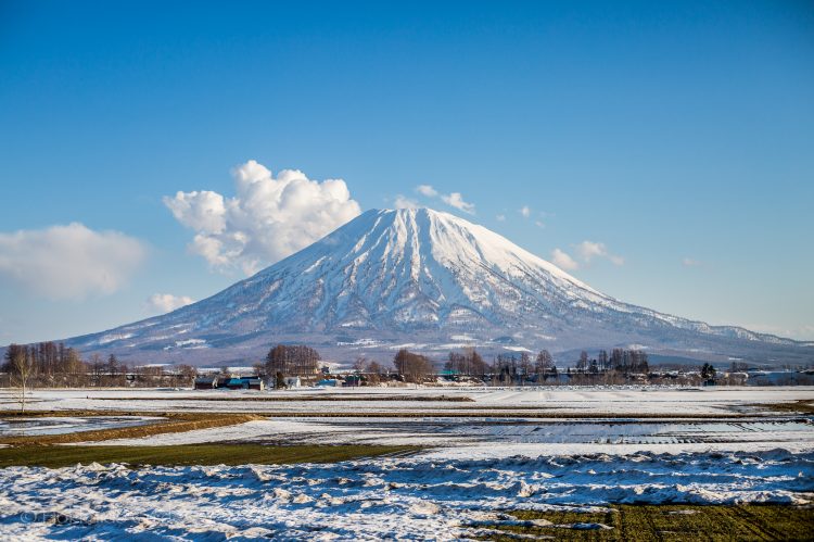

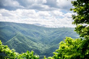
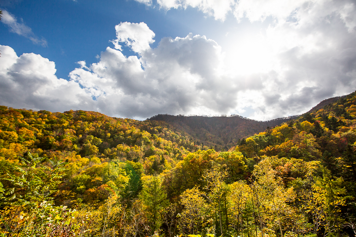
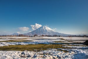 Mount Yotei is an active stratovolcano that can be found in the Shikotsu-Toya National Park. It is also known as ‘Ezo Fuji’ (Ezo being the old name for Hokkaido). It is in the top hundred mountains of Japan, and is definitely a breathtaking mountain to look at. This iconic mountain can be seen from all the surrounding farmlands and the ski slopes of the big towns of Hirafu, Niseko, Rusutsu and Kutchan. Not only is its snow covered peak popular in Winter, but the Summer, Spring, and Autumn brings hikers and trekkers to its base as there is a great hiking trail on the western side. From this peak, you will be amazed at the beautiful views from its peak. For those who do decide to trek to the top it takes about seven to ten hours for a round trip. There is a campground near the base as well.
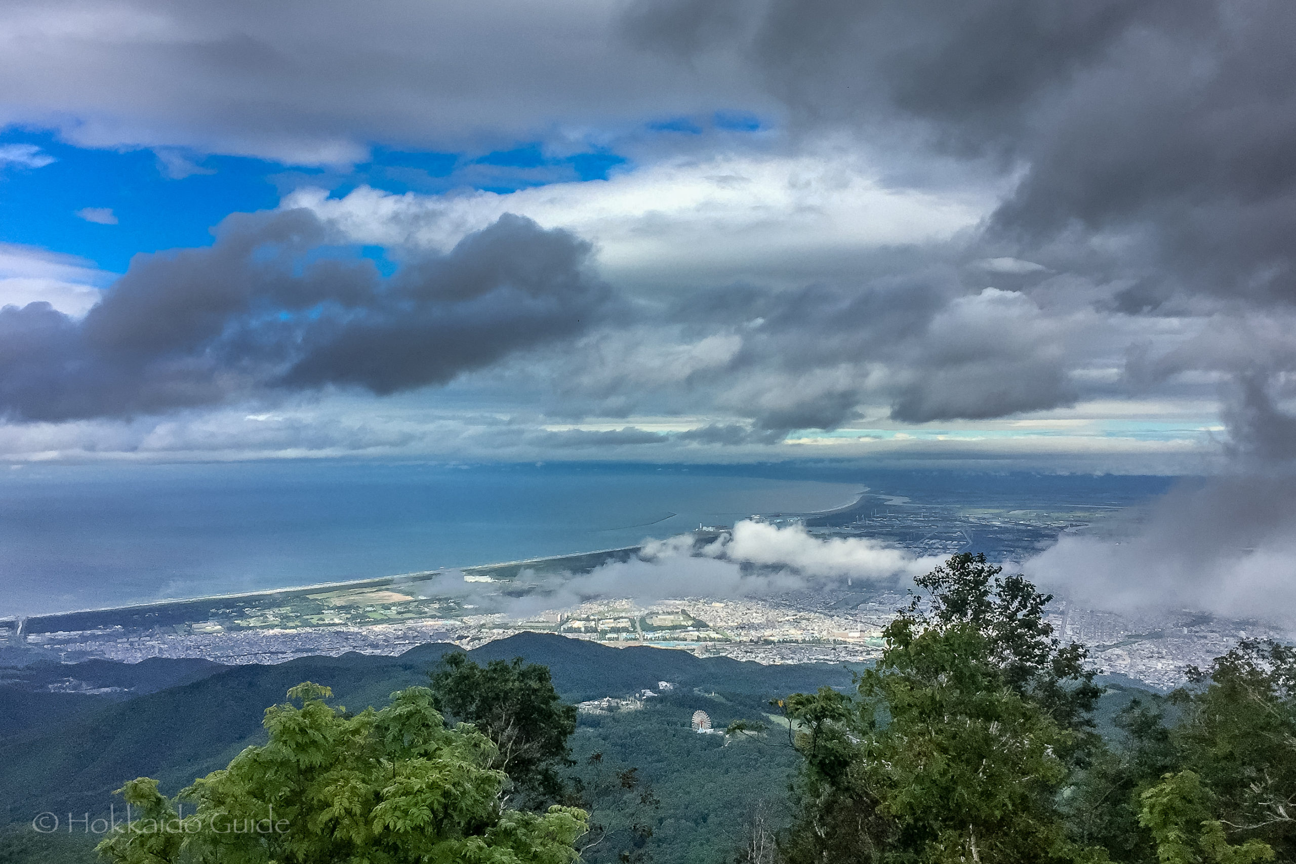

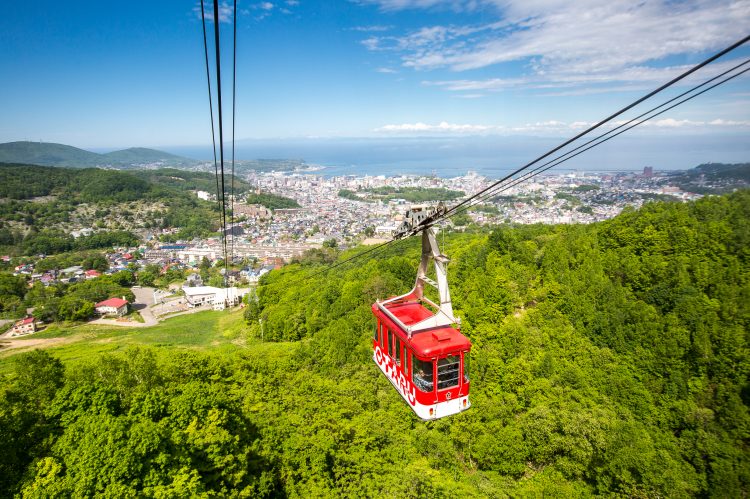
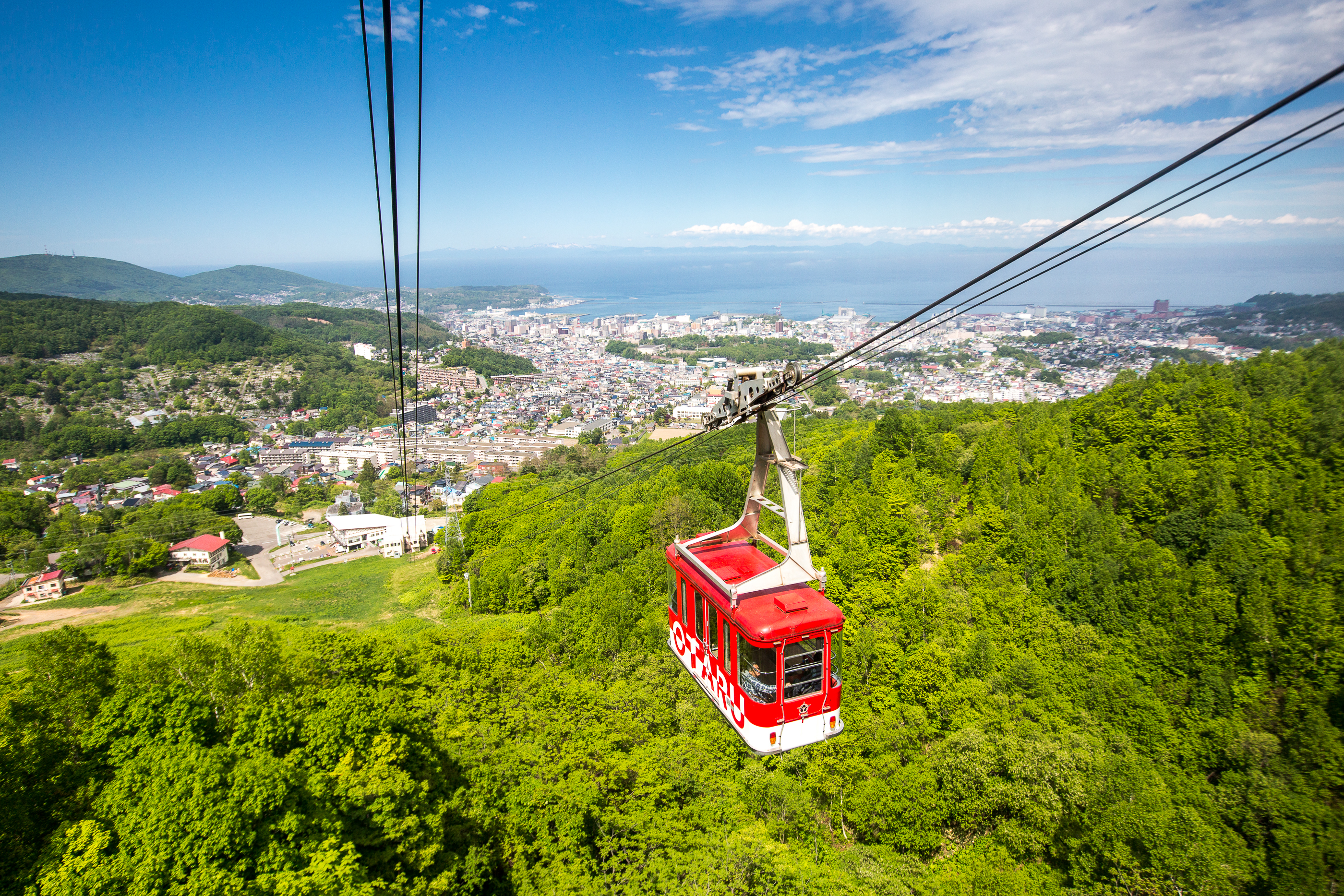
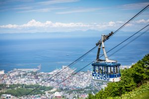
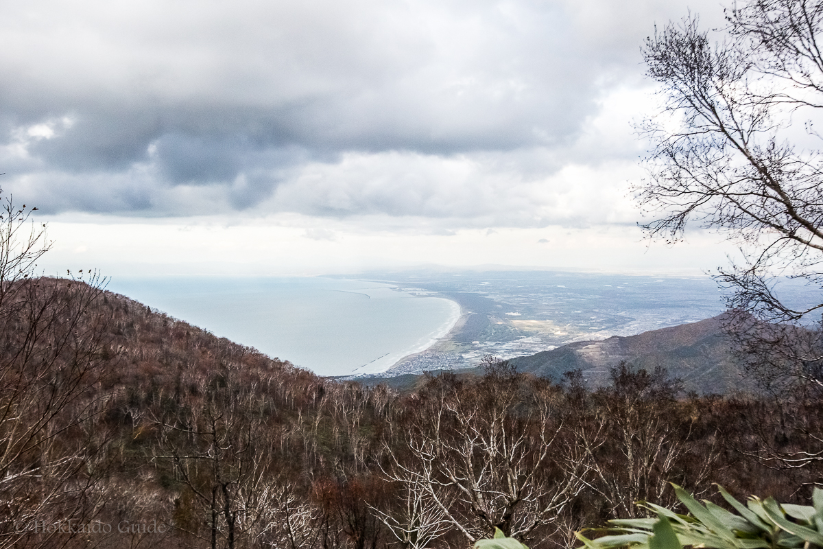
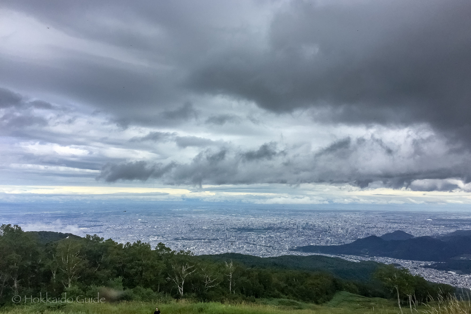
 Mt Teine is a very popular mountain on the western outskirts of the city of Sapporo. The mountain has an elevation of 1,023 meters, or 3,356 feet. This mountain is busy during summer as well as winter. During the winter months Mt Teine serves as a ski resort which sees thousands of locals and visitors enjoying the ski slopes whether it be skiing, or snowboarding. Mt Teine was one of the sites of the first Winter Olympics held in Asia, in 1972. This mountain hosted the giant slalom and slalom events in alpine skiing.
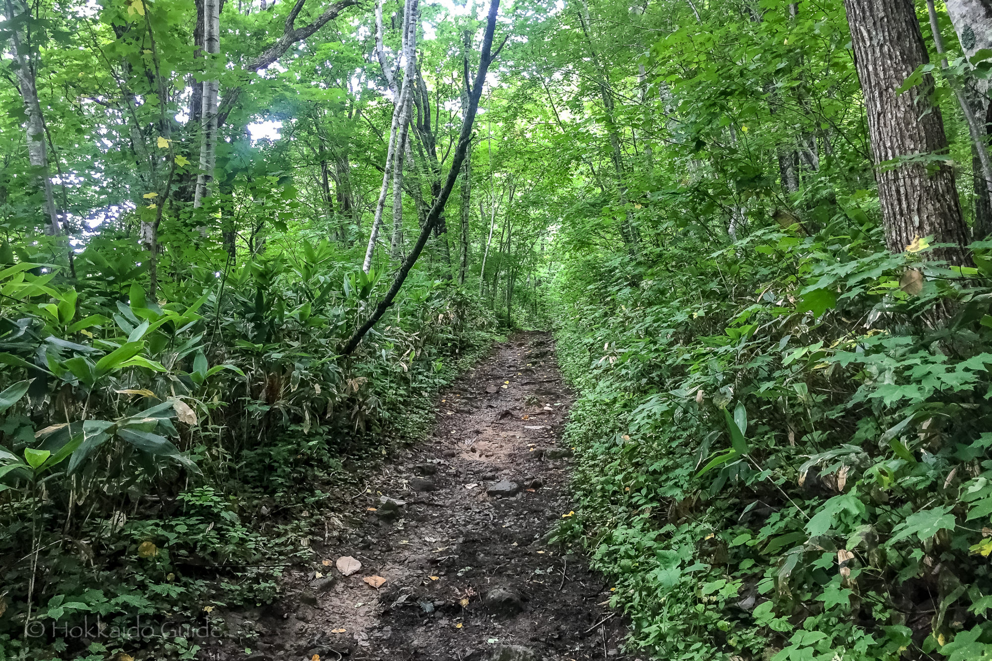
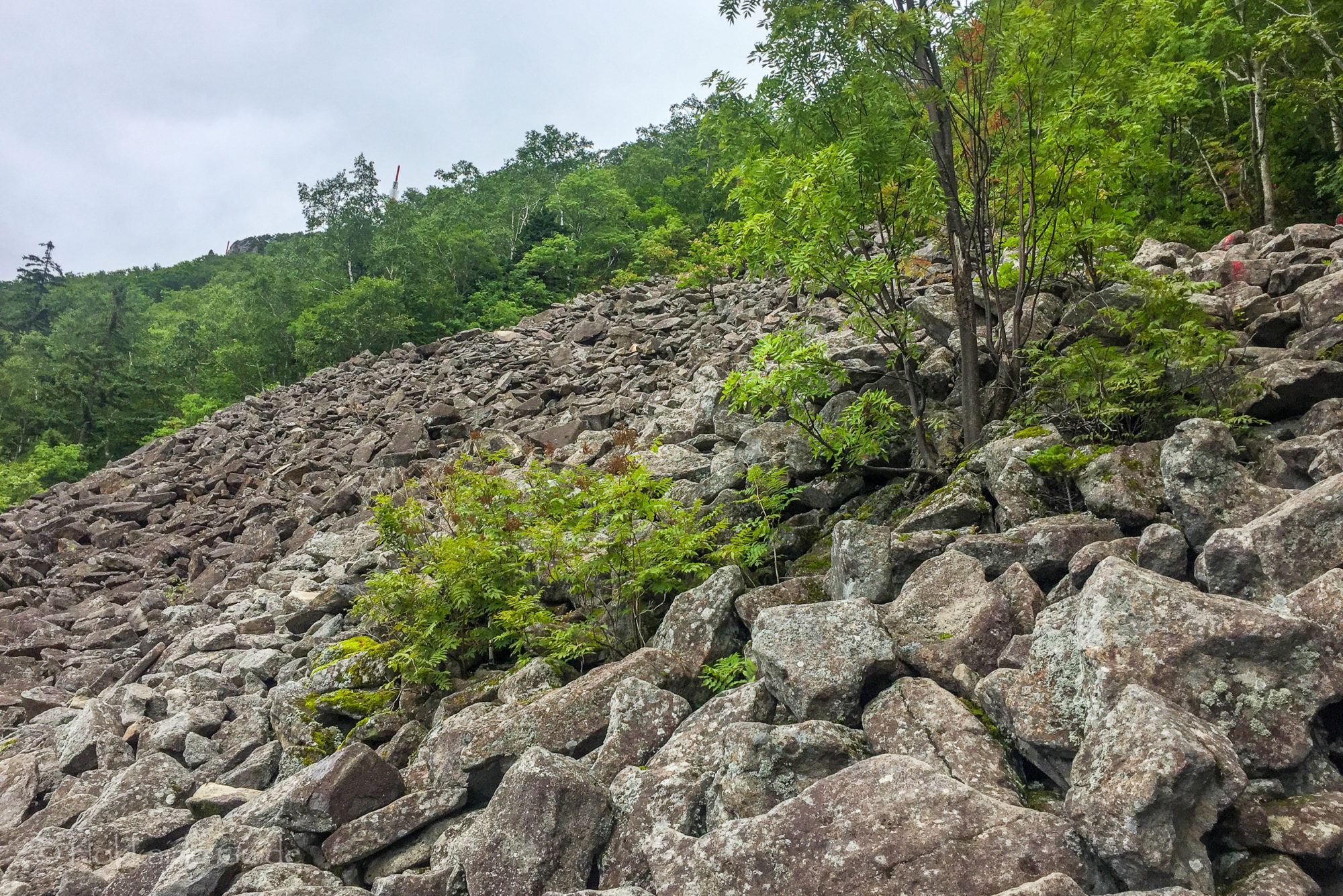
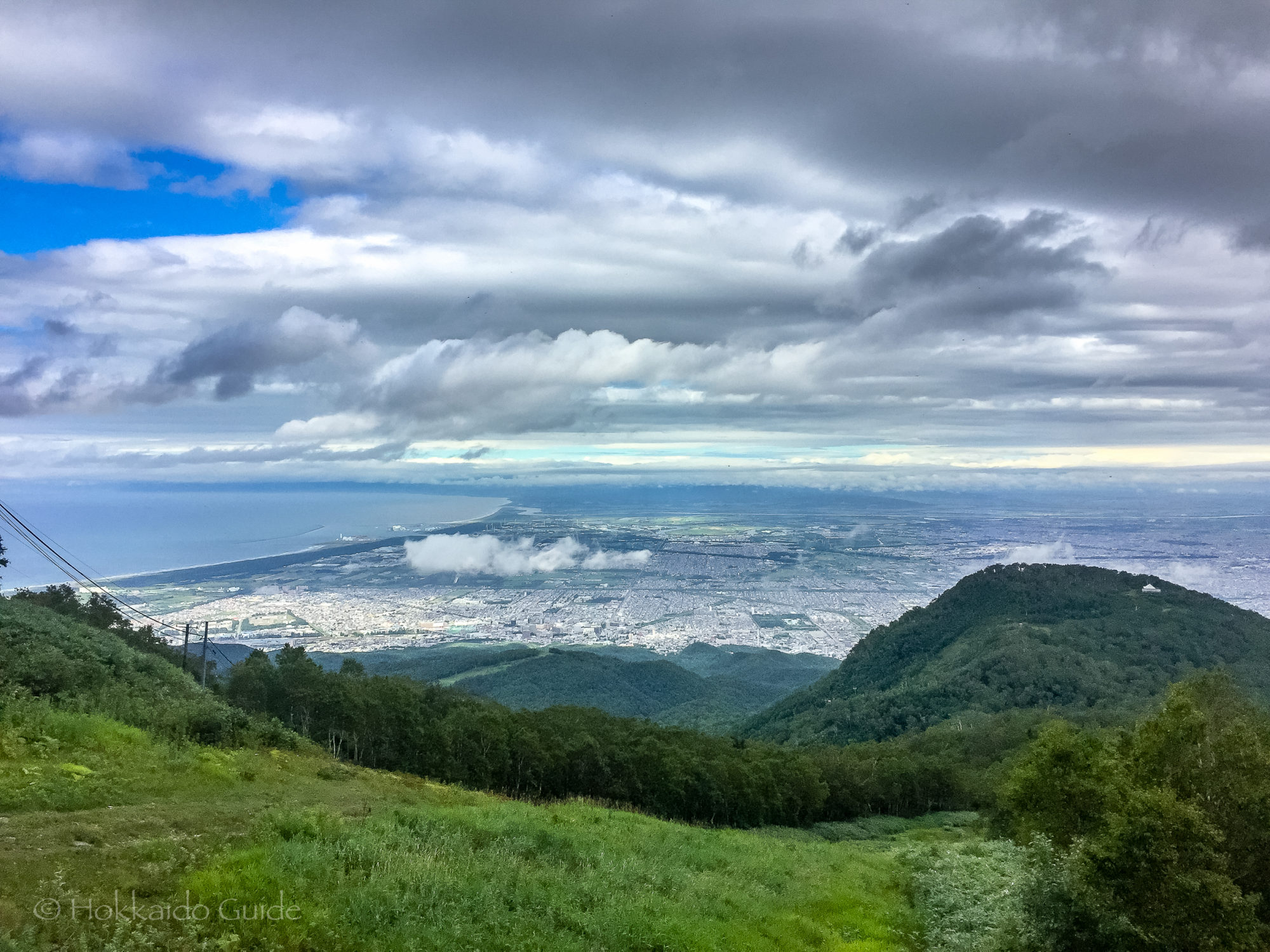
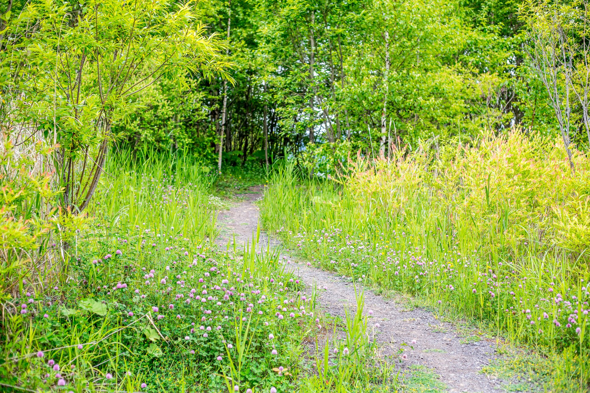
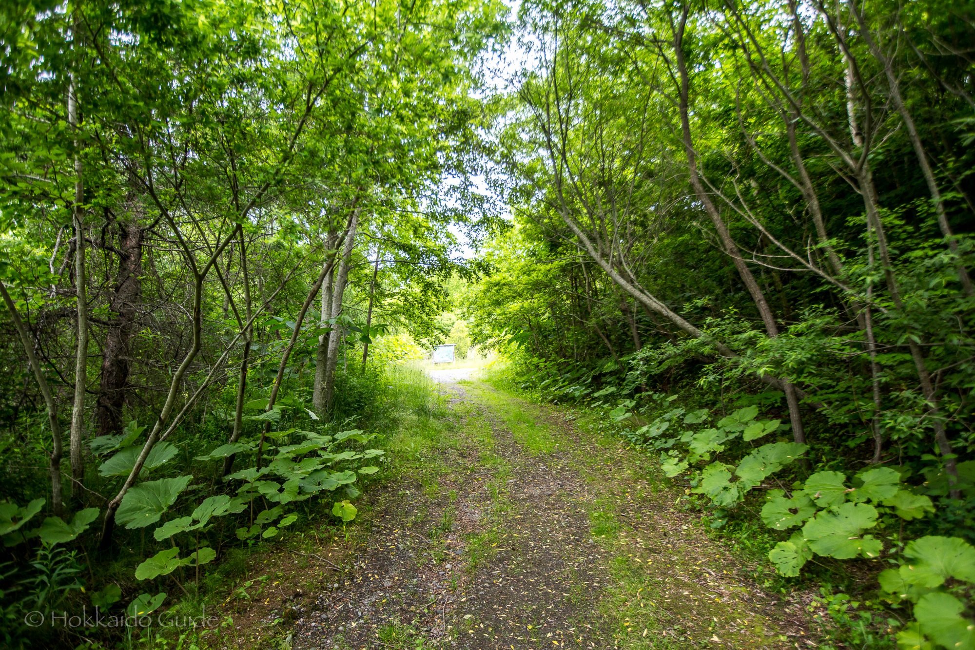
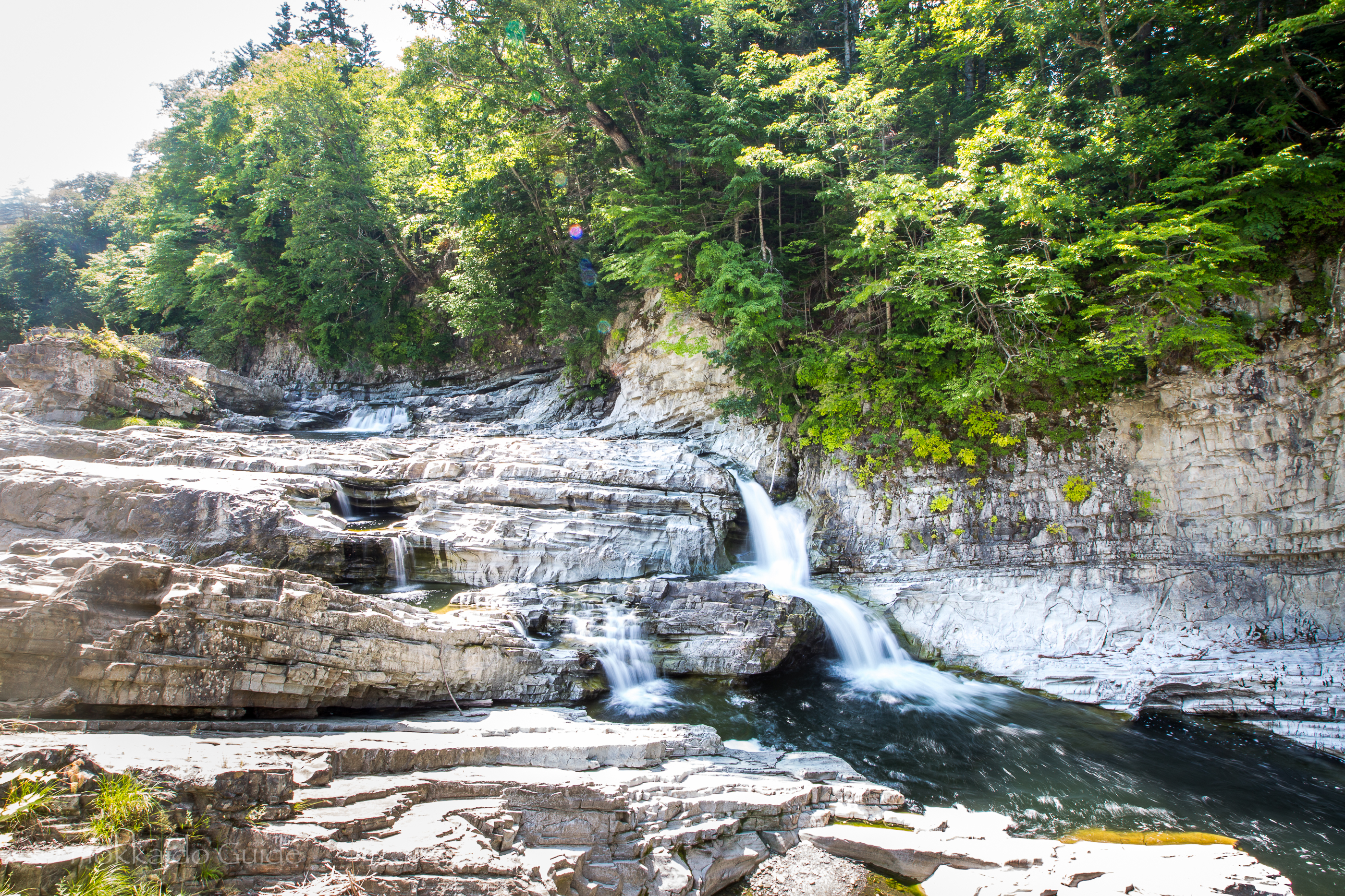
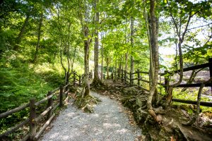
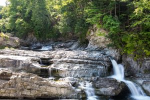
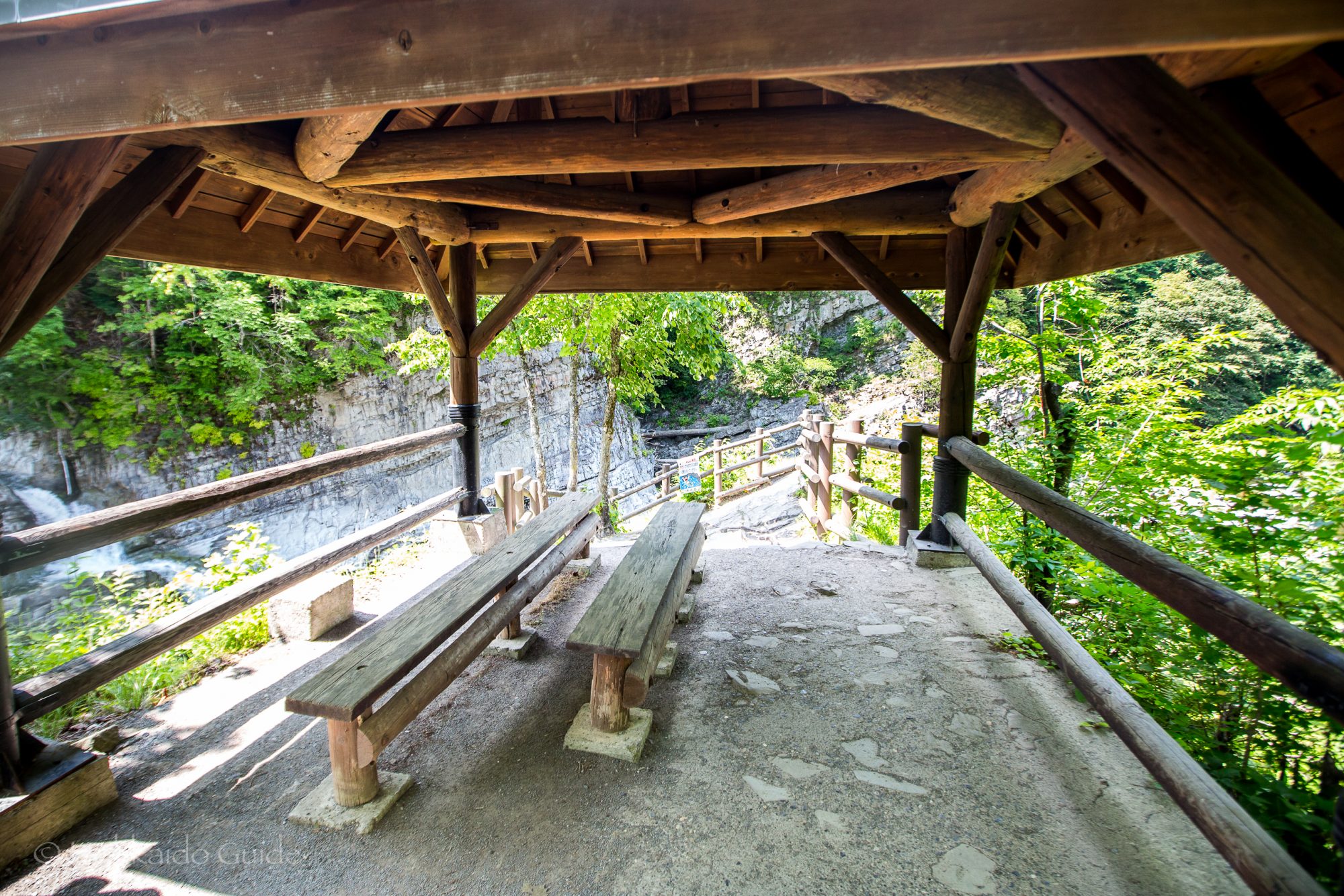
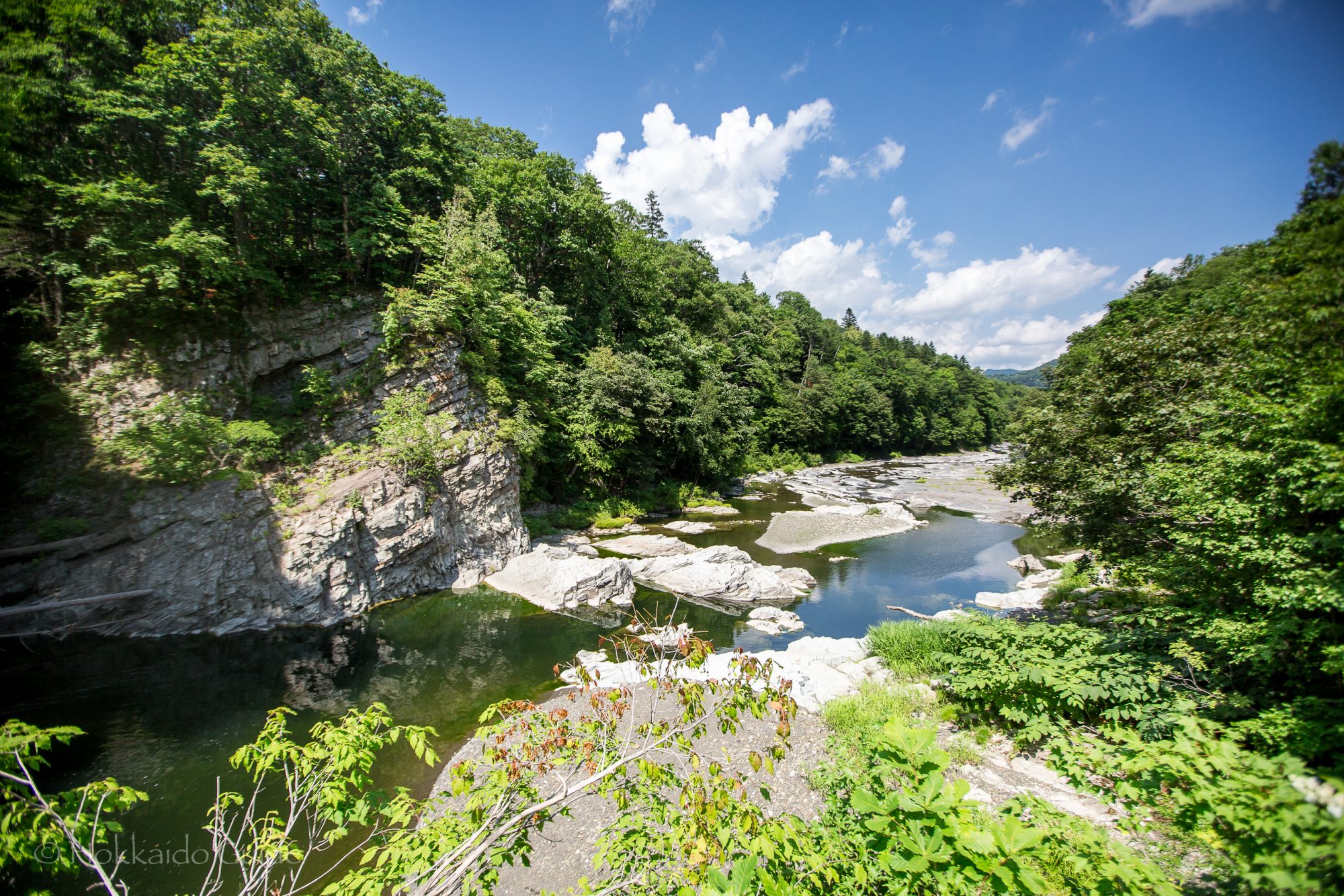
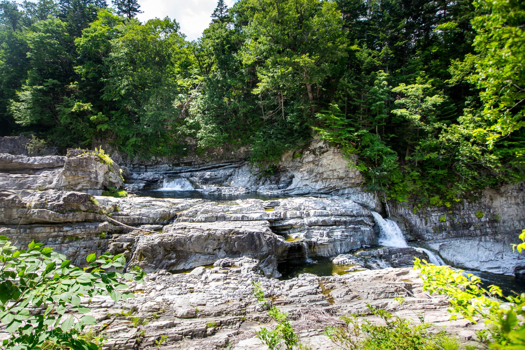
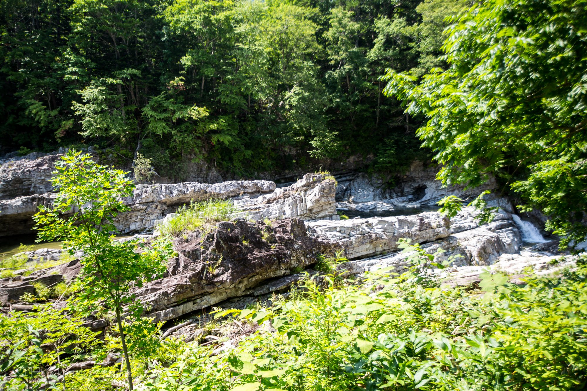
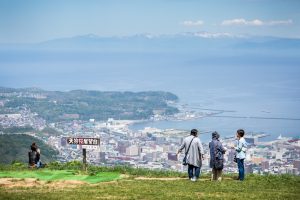
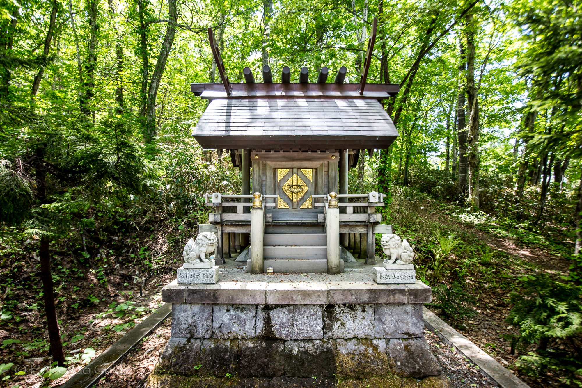
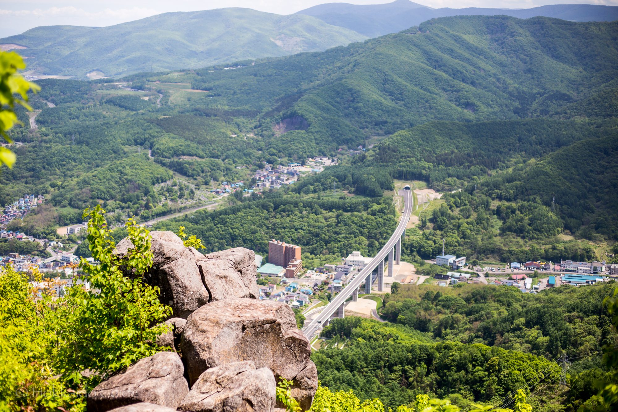
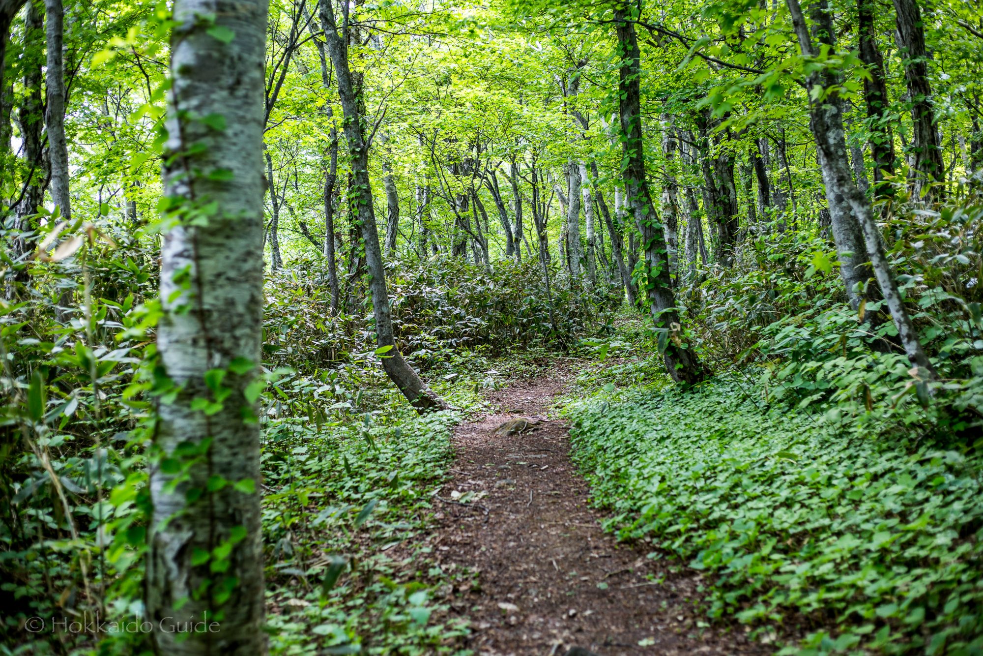
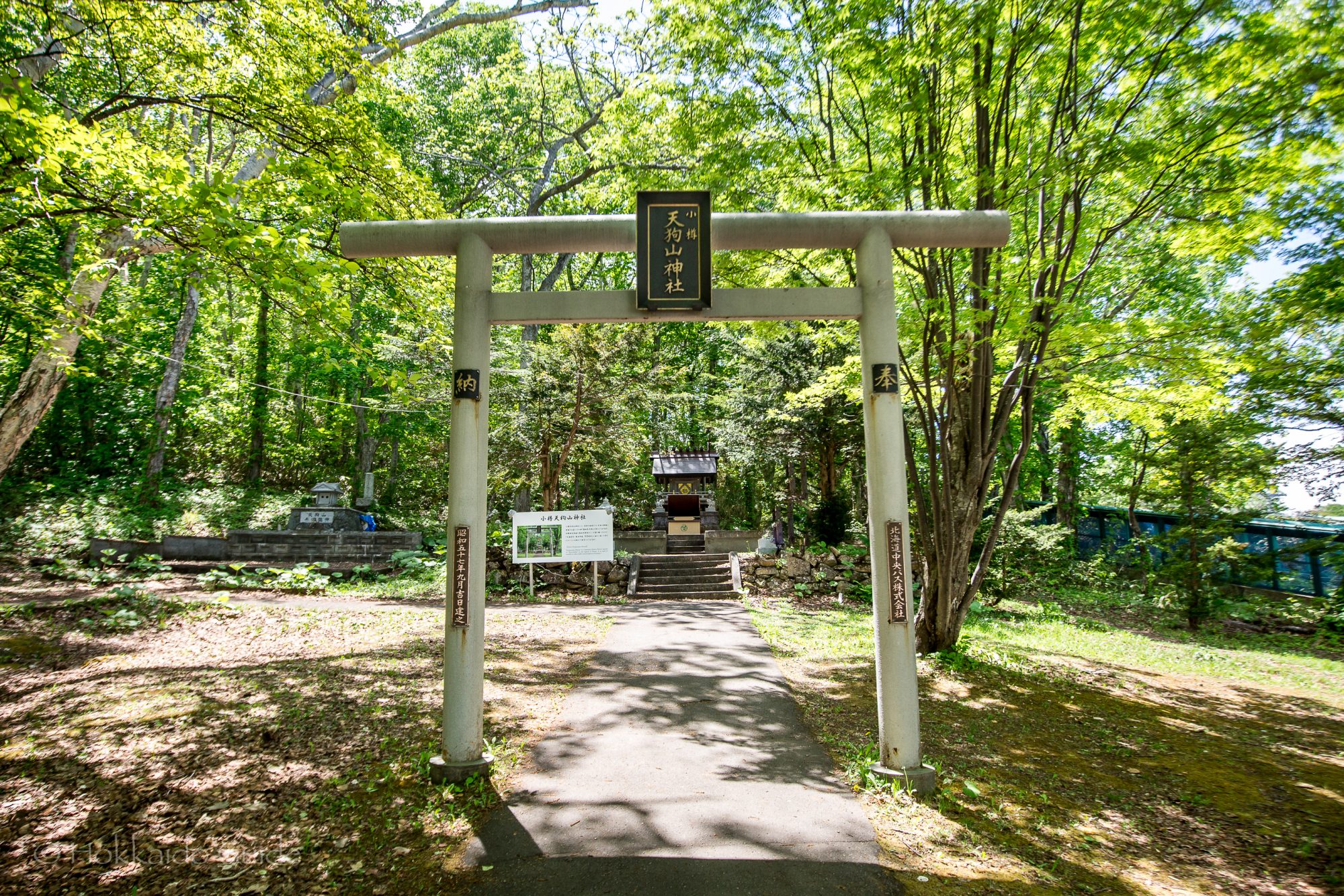
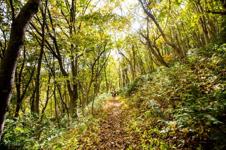
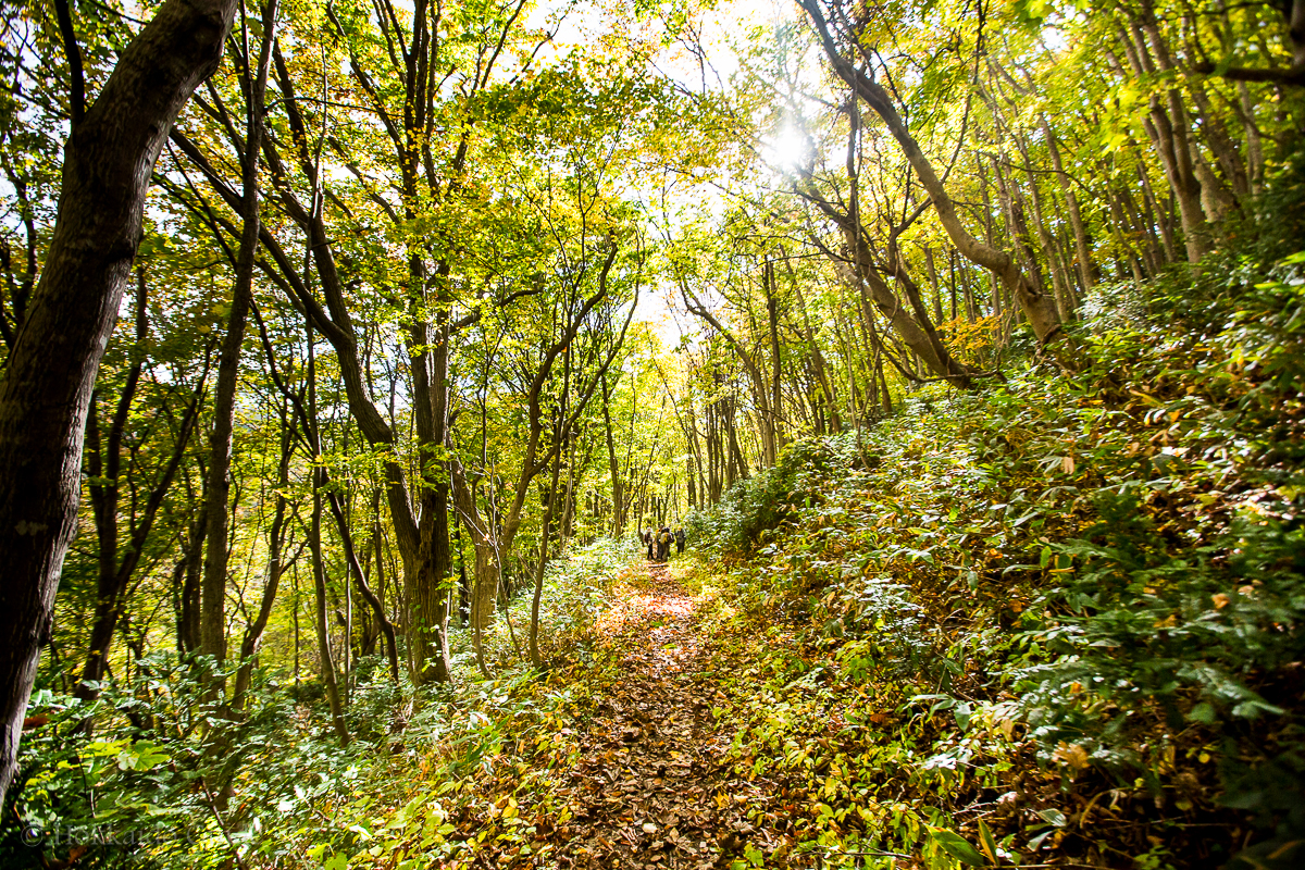
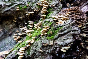
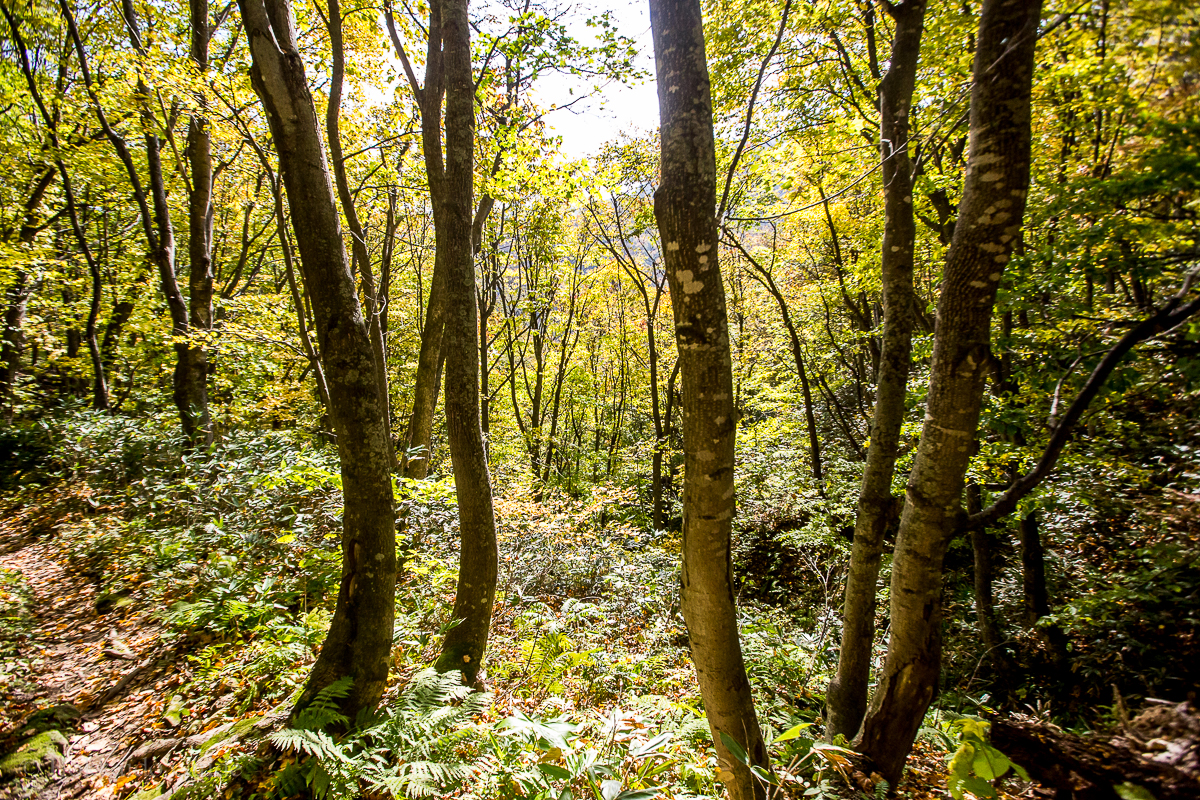
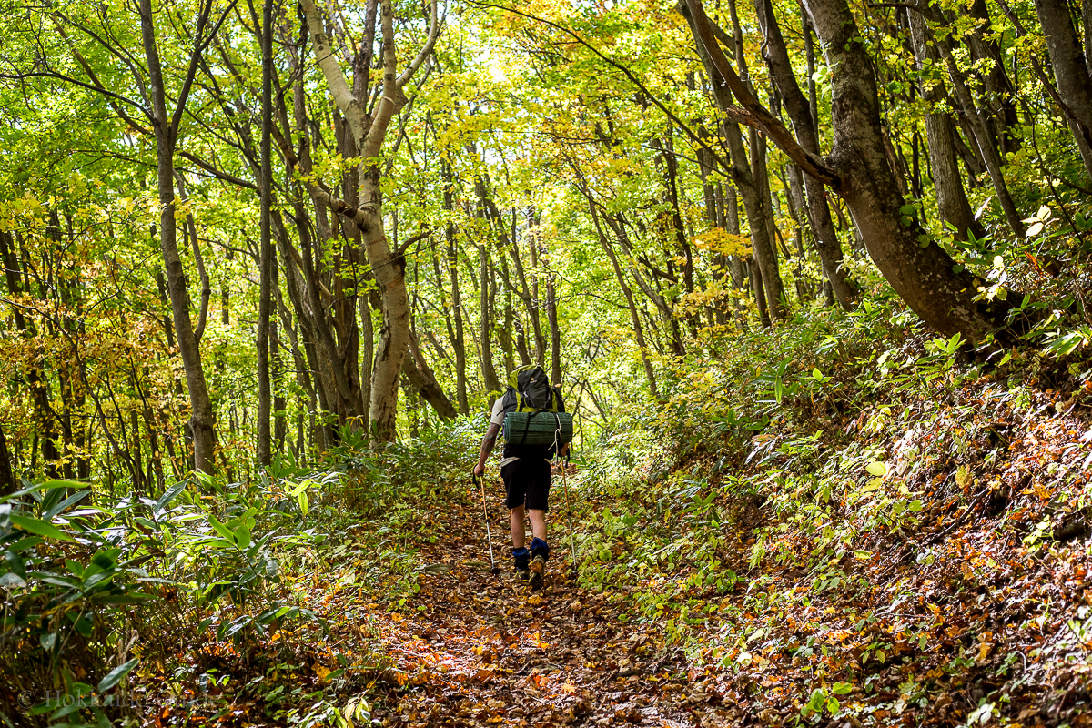
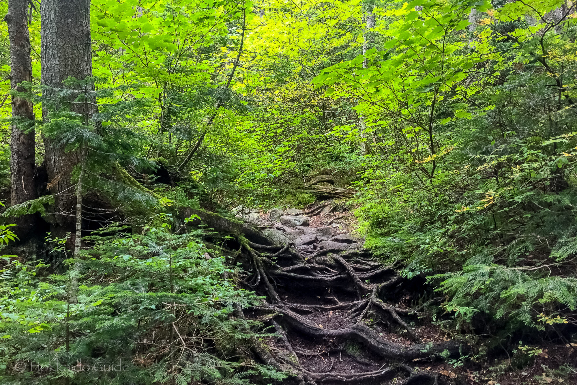
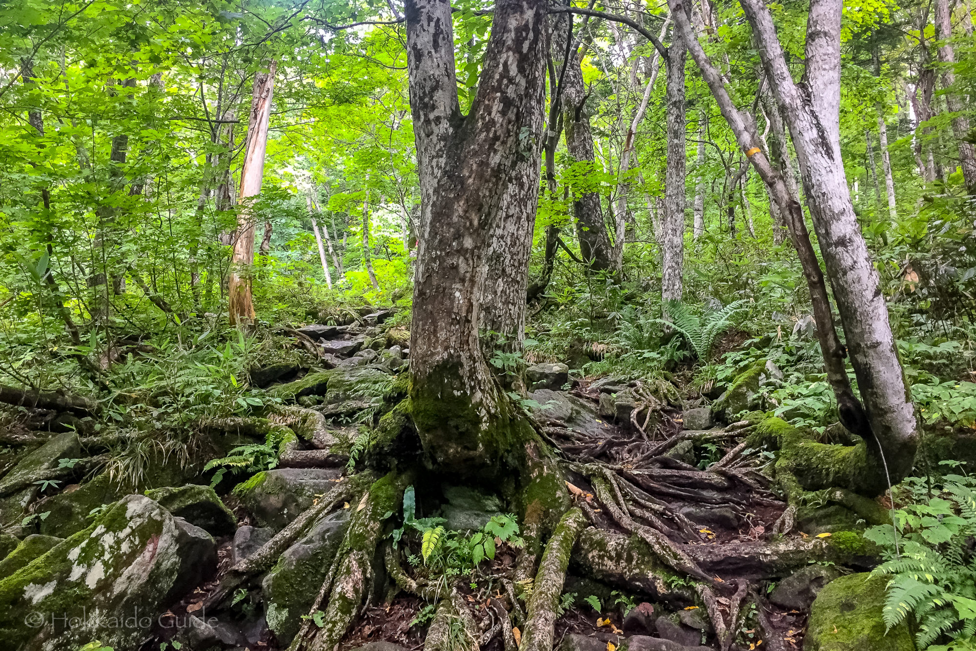
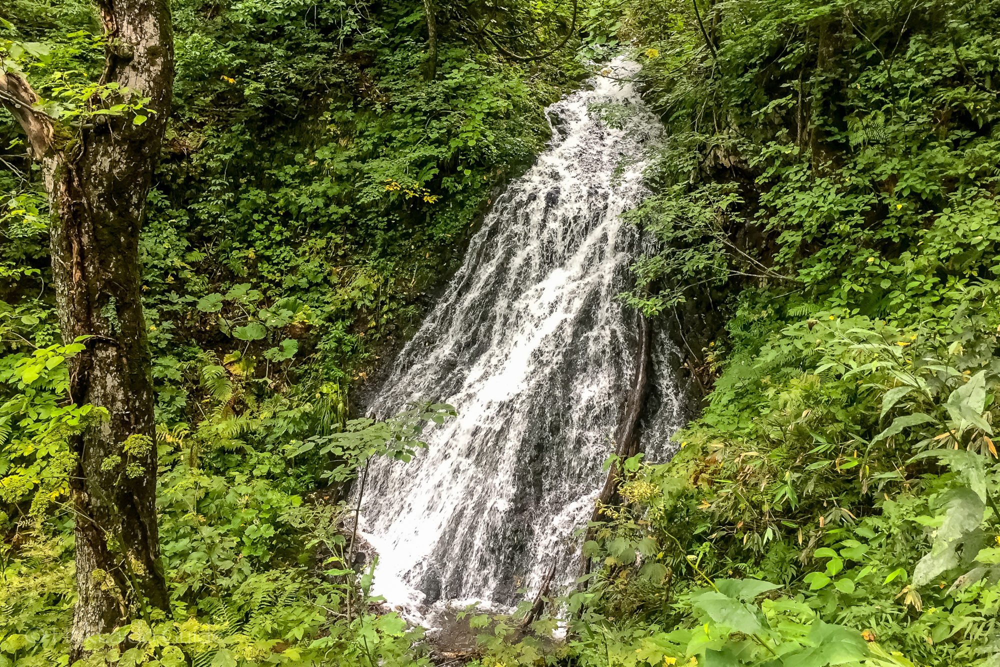
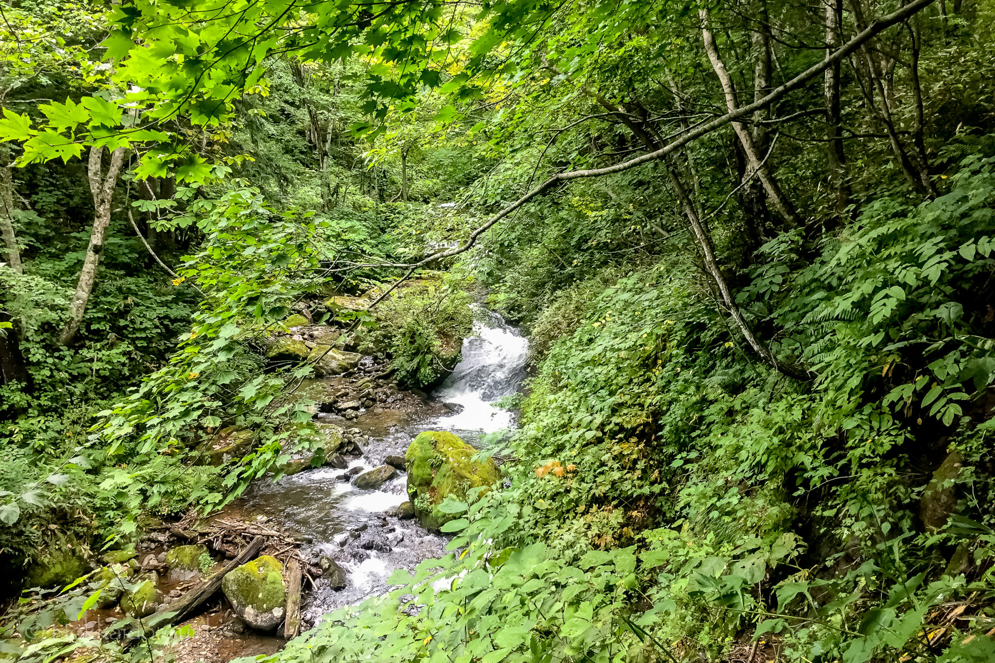
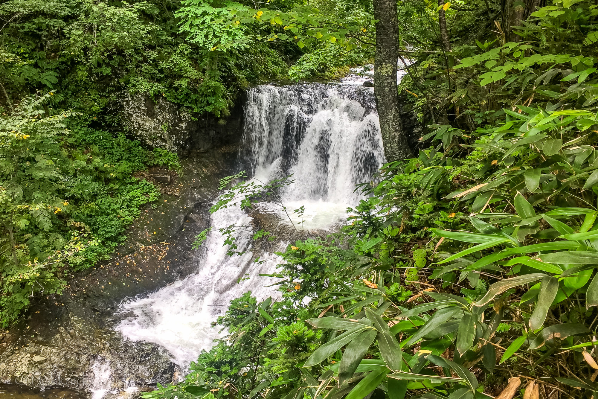
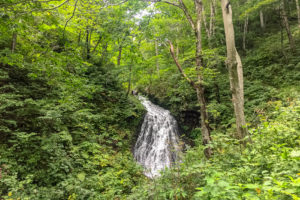 During the summer months there are hiking trails that lead to the summit of the mountain. For those who don’t wish to hike the trail (which takes about 2 hours to the top), there is an access road which can be used to drive up where you can enjoy the views over Sapporo and Ishikari Bay. The trail head can be found at Heiwa no Taki (peace waterfall). There is parking here and you can find the trail next to an old shrine here. Along the path you can see the Nunojikino Falls, a small waterfall, plus along the path you can pick wild vegetables including mushrooms. The trail turns into a rocky slope near the top so be sure to wear suitable foot wear.
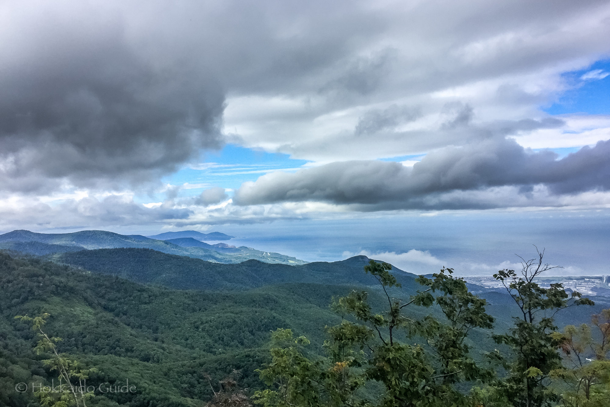

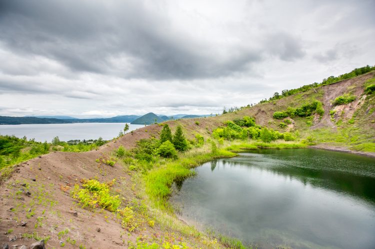

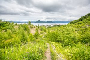
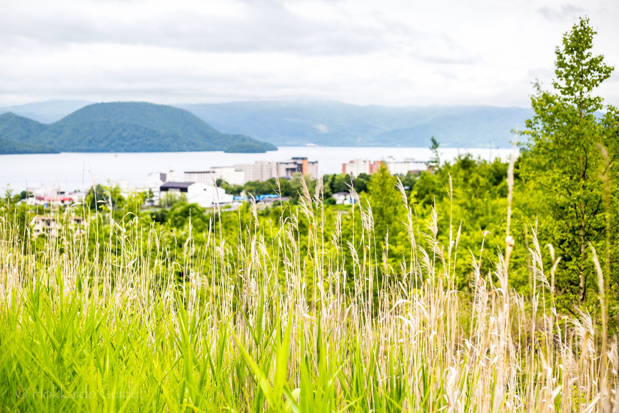
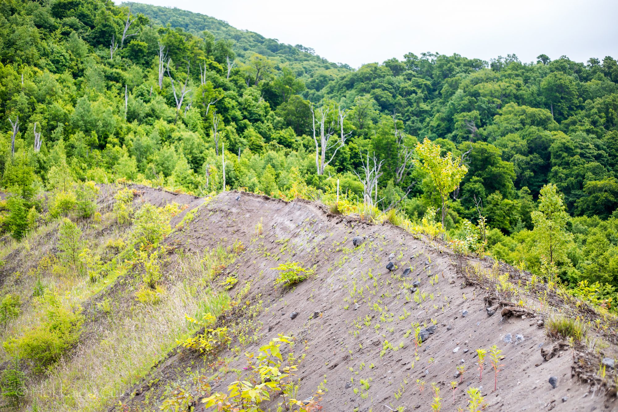
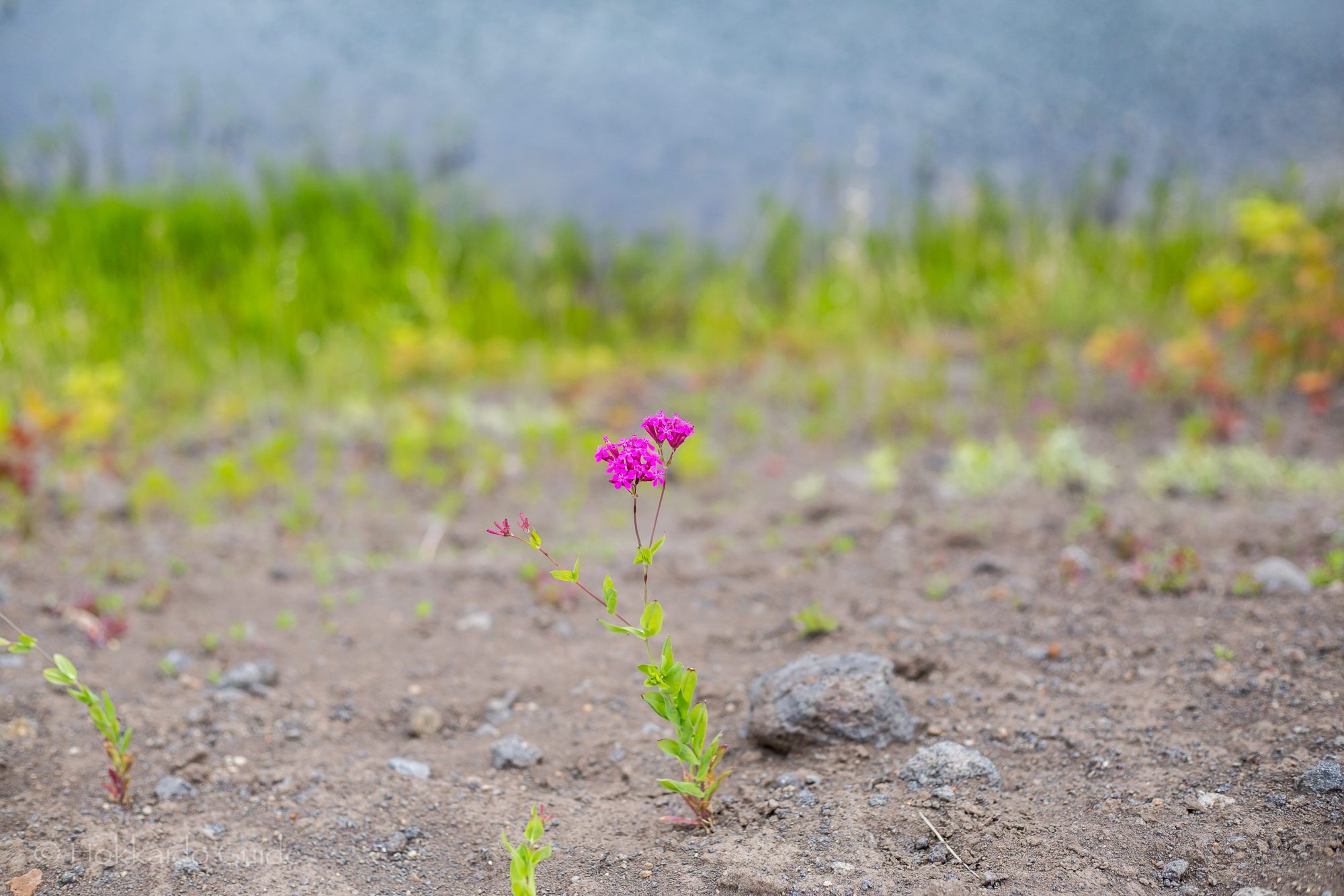
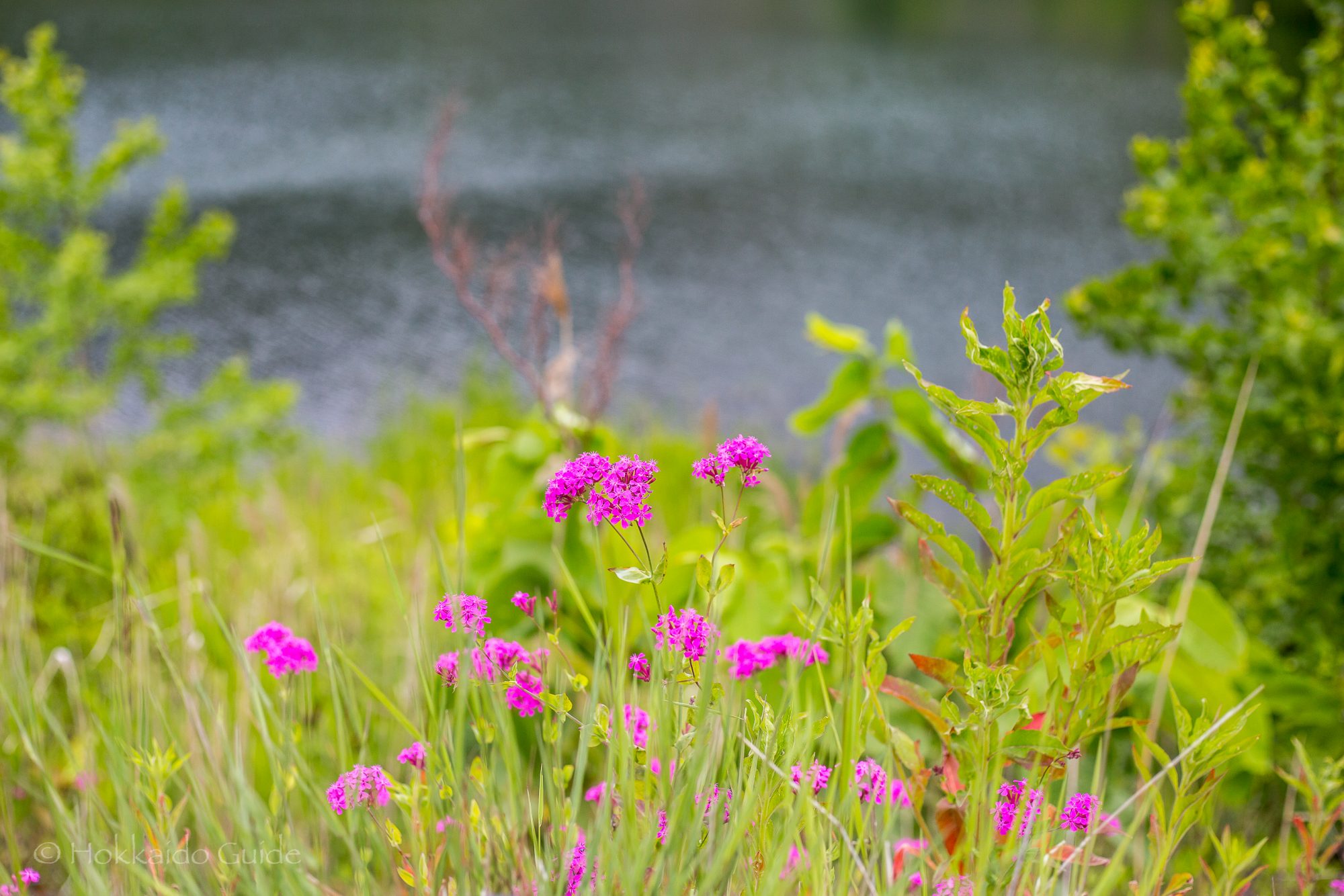
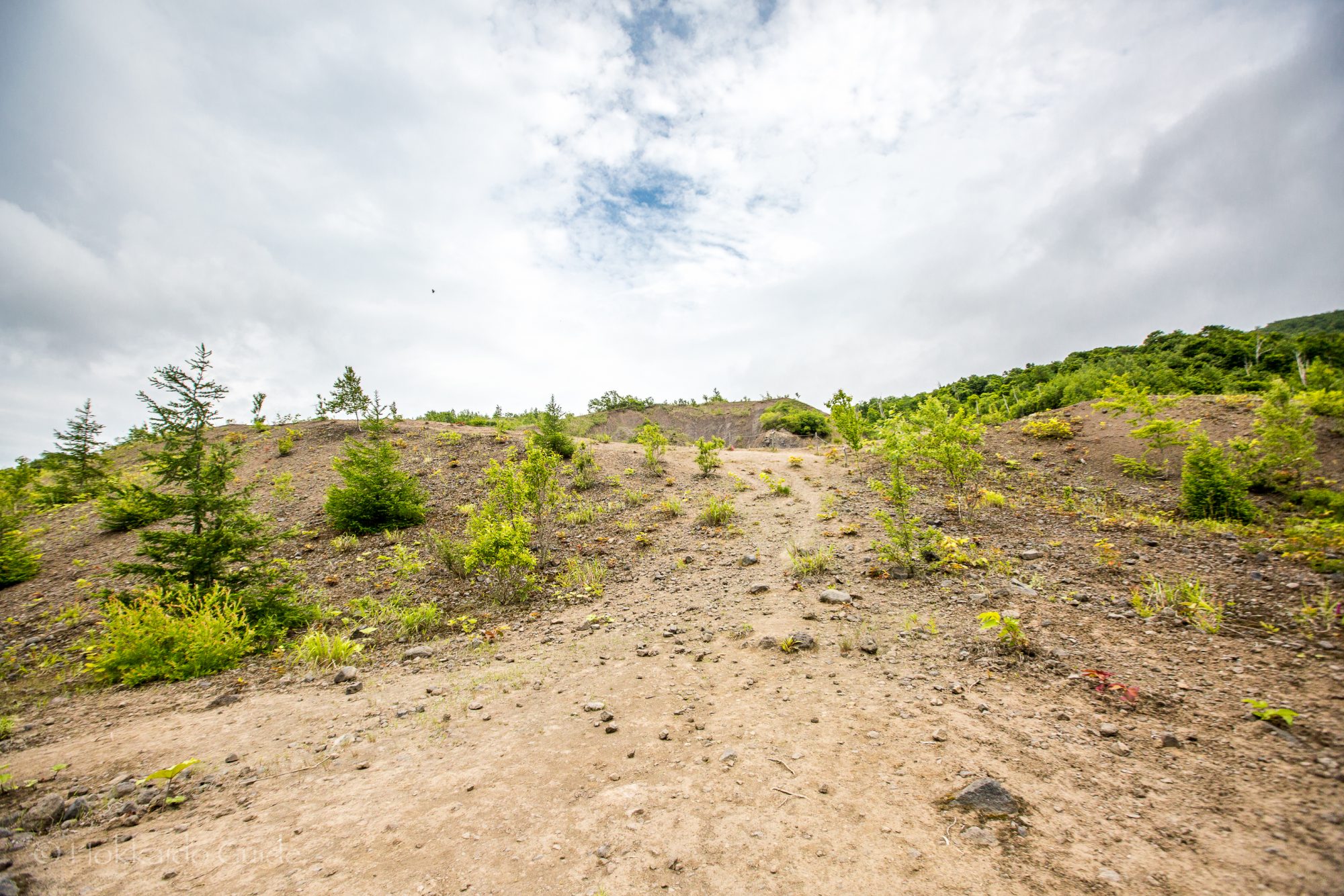
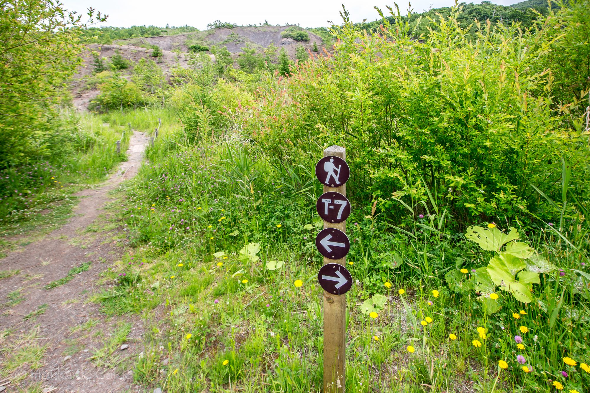
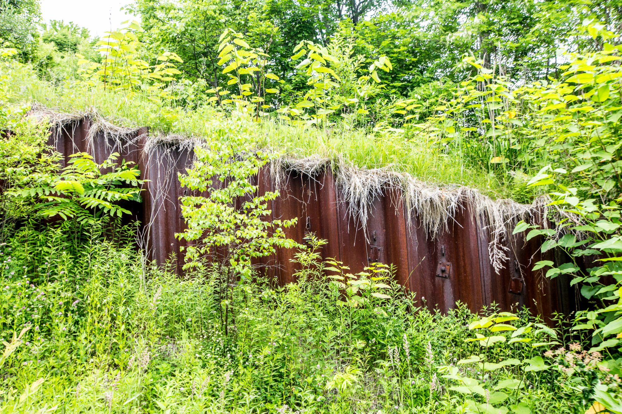
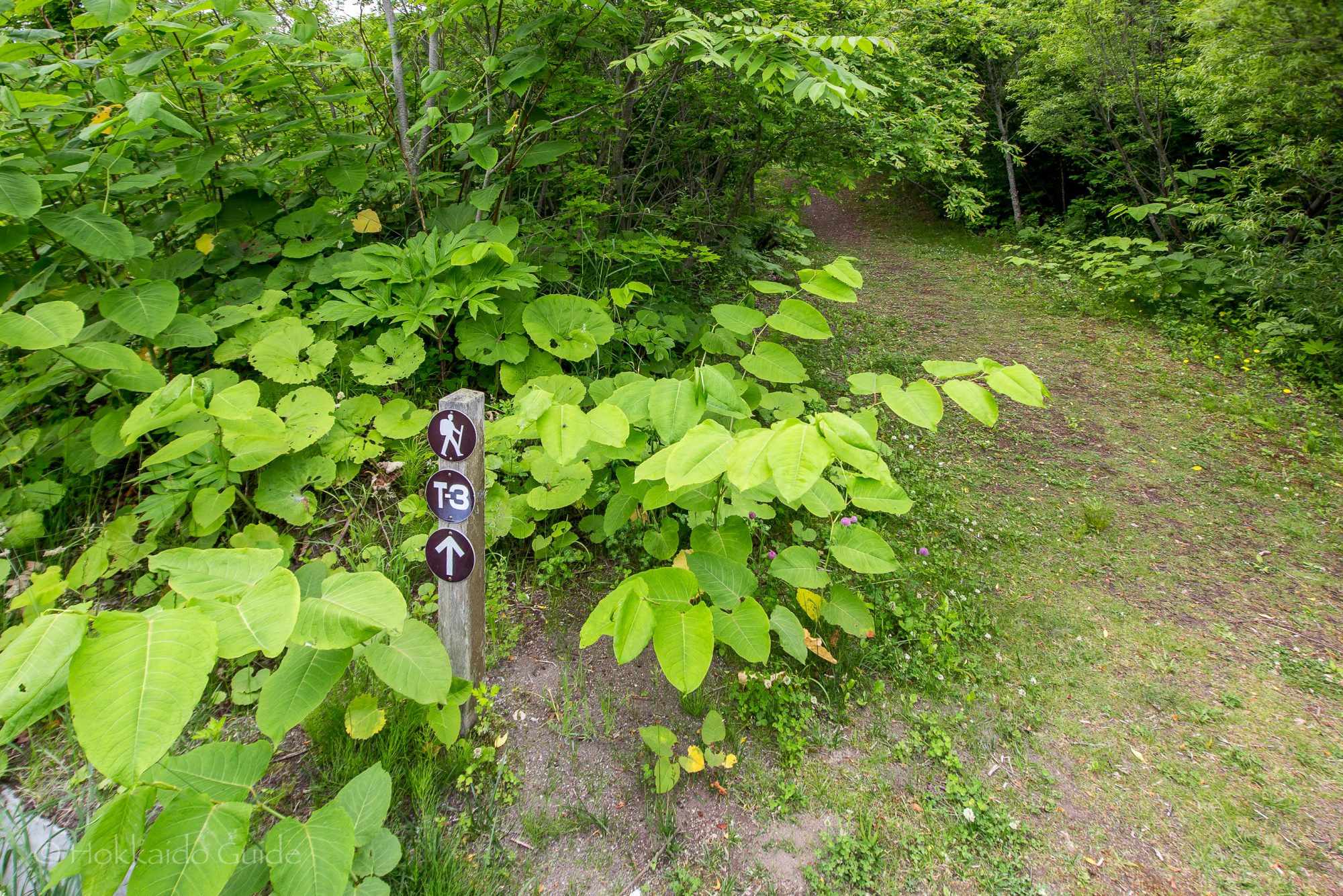
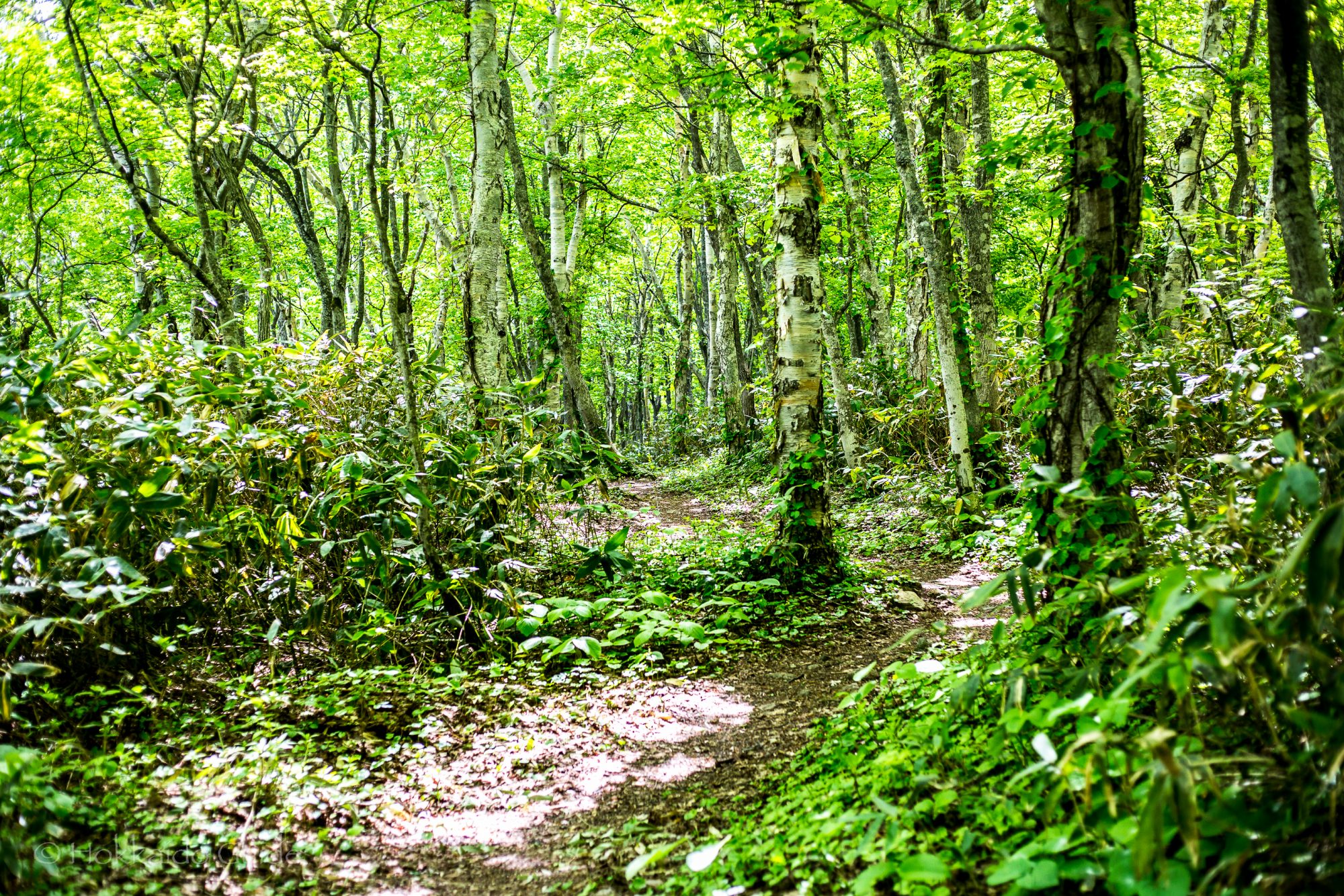
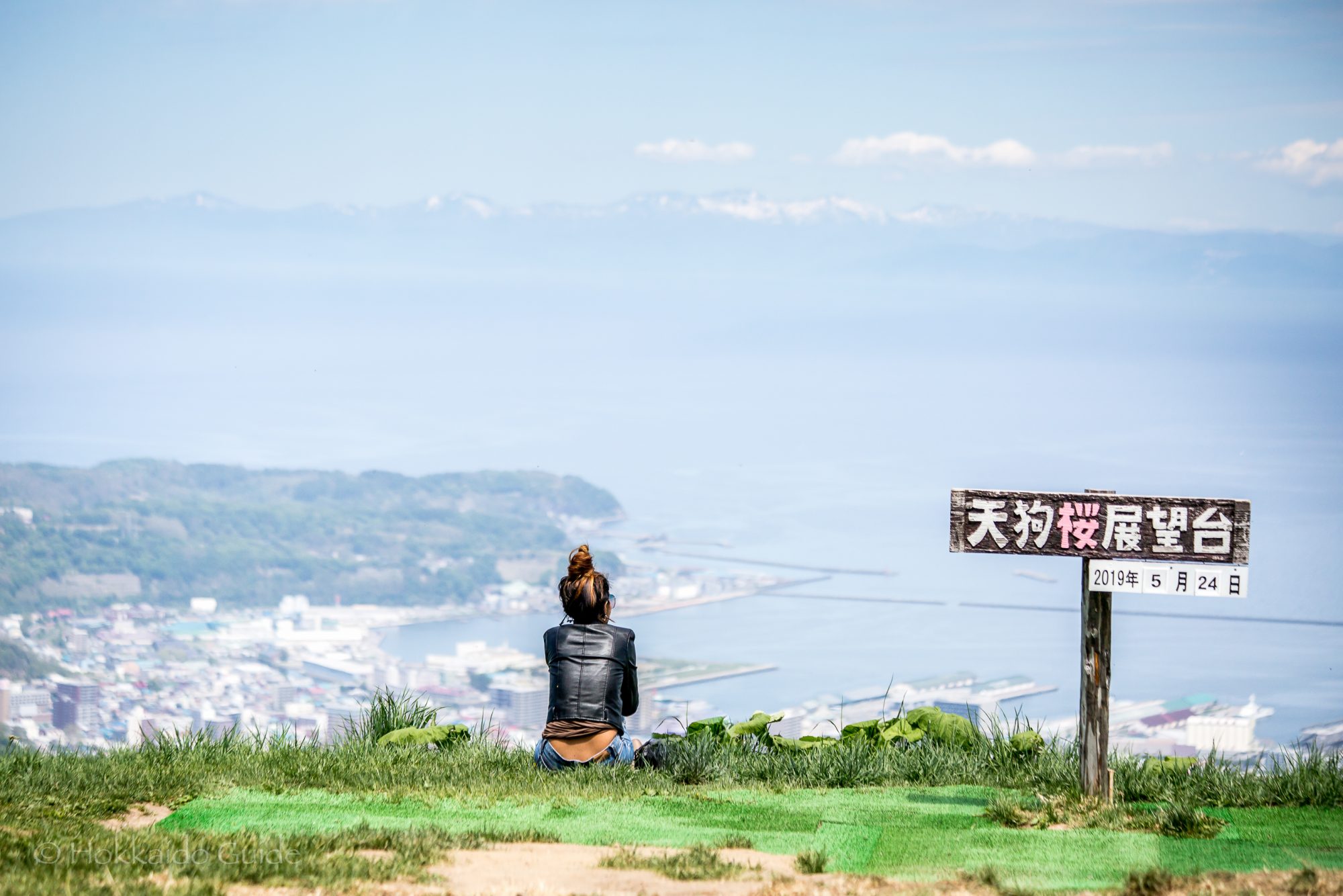
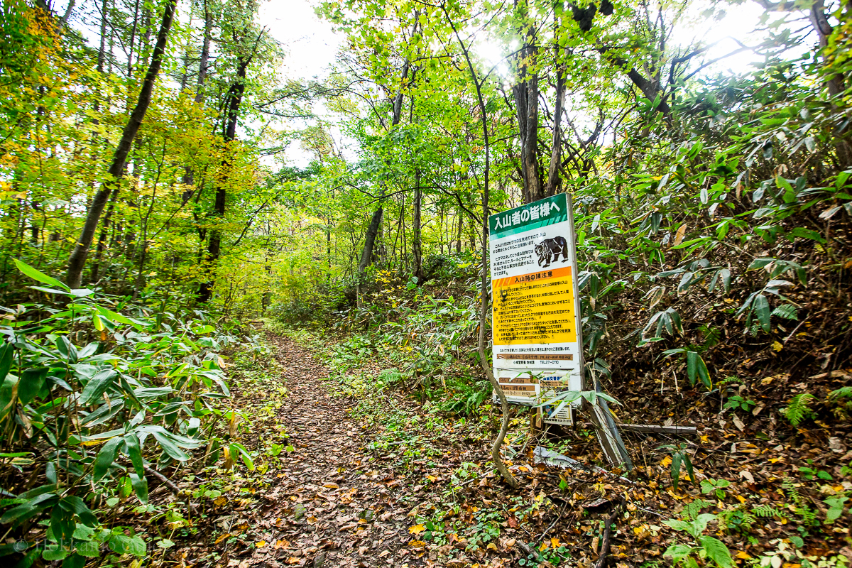
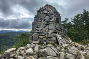
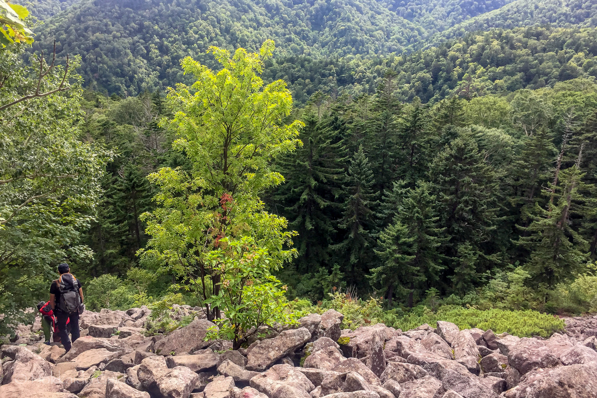
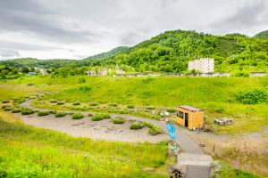 The walking trails are numbered from one to seven. You can find a map of these trails at the small hut at the base of the stairs that lead to start of the hike. The walk leads up into the hills where you can view the Ari-kun crater. Simply follow the sign mark T-7 and this will lead you to the crater. Along the way, you can see the steel barriers that were erected to protect the town from the hot mudflow after the 1977 eruptions. The trail is a circuit that also leads past the Sakuragaoka Housing Complex Ruins. Not only can you enjoy the views, but you also learn about the interesting history of the impact of the volcanoes in the area!